Surfside is a town in Miami-Dade County, Florida, United States. The population was 5,689 as of the 2020 census. Surfside is a primarily residential beachside community, with several multistory condominium buildings adjacent to Surfside Beach on the Atlantic Ocean. The town is bordered on the south by the North Beach neighborhood of Miami Beach, on the north by Bal Harbour, on the west by Biscayne Bay, and on the east by the Atlantic Ocean.
| Name: | Surfside town |
|---|---|
| LSAD Code: | 43 |
| LSAD Description: | town (suffix) |
| State: | Florida |
| County: | Miami-Dade County |
| Incorporated: | May 18, 1935 |
| Elevation: | 0 ft (0 m) |
| Total Area: | 0.56 sq mi (1.46 km²) |
| Land Area: | 0.56 sq mi (1.44 km²) |
| Water Area: | 0.01 sq mi (0.02 km²) 1.9% |
| Total Population: | 5,689 |
| Population Density: | 10,213.64/sq mi (3,941.00/km²) |
| Area code: | 305, 786 |
| FIPS code: | 1270075 |
| GNISfeature ID: | 0291892 |
| Website: | www.townofsurfsidefl.gov |
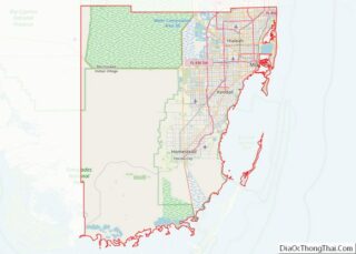
Online Interactive Map
Click on ![]() to view map in "full screen" mode.
to view map in "full screen" mode.
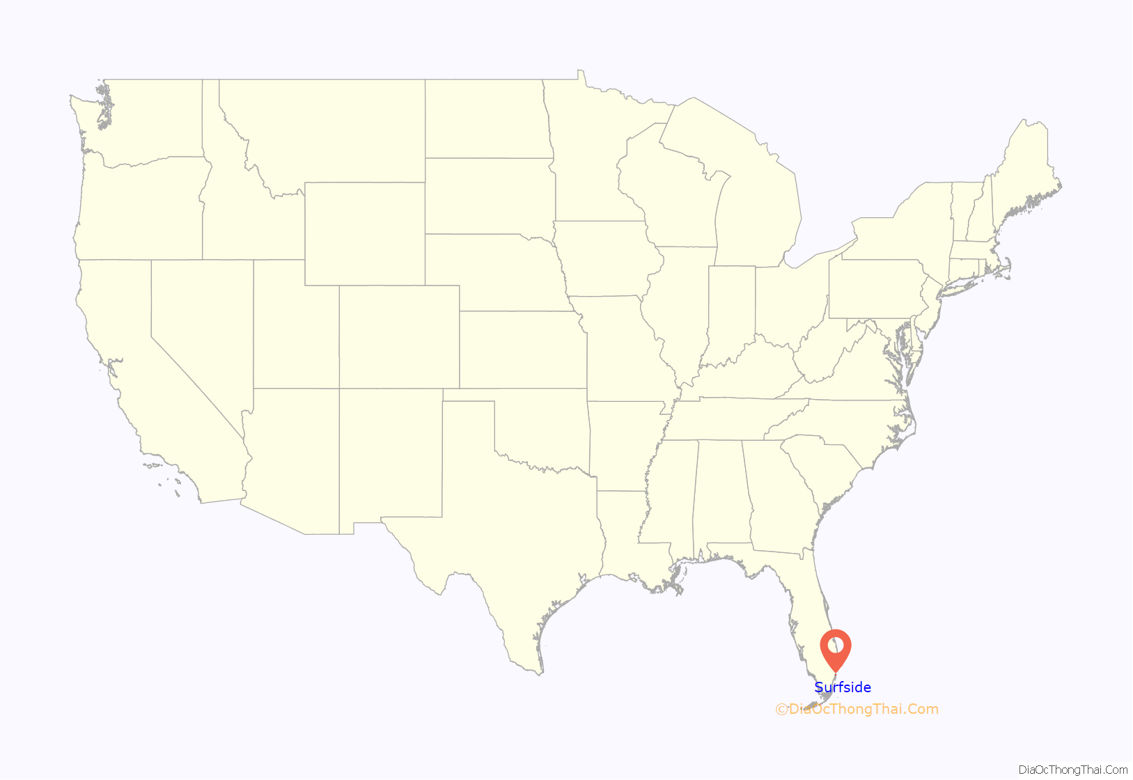
Surfside location map. Where is Surfside town?
History
Between 1923 and 1925, the Tatum Brothers subdivided the land on what is now Surfside.
Starting in 1924, Henri Levy developed Biscaya Island and a portion of land from 87th to 92nd Streets.
In 1929–1930, Russell T. Pancoast, built the Surf Club 90th Street and Collins Avenue.
In 1935, fearing annexation by the city of Miami Beach, Florida, 35 members of the privately-owned club incorporated the Town of Surfside and financed the venture with a $28,500 loan.
Spearman Lewis was the first mayor of Surfside.
In 1956, Surfside purchased the Lehman Estate on the northeast corner of 93rd Street and Collins Avenue. It acquired additional land via eminent domain and then built a community center.
In 1960, Hawthorne Park was dedicated.
On March 1, 1973, Surfside signed a contract with Miami-Dade County to outsource fire/rescue services.
In 1983, The Shul of Bal Harbour was established at 9540 Collins Avenue.
Condominium building collapse
On June 24, 2021, at 1:22 a.m. EDT, Champlain Towers South, a 12-story condominium building at 8777 Collins Avenue, partially collapsed, causing 98 deaths, in one of the deadliest structural failures in United States history. The building’s 40-year recertification was in progress and the roof was being repaired. The cause of the collapse of the structure has not been established.
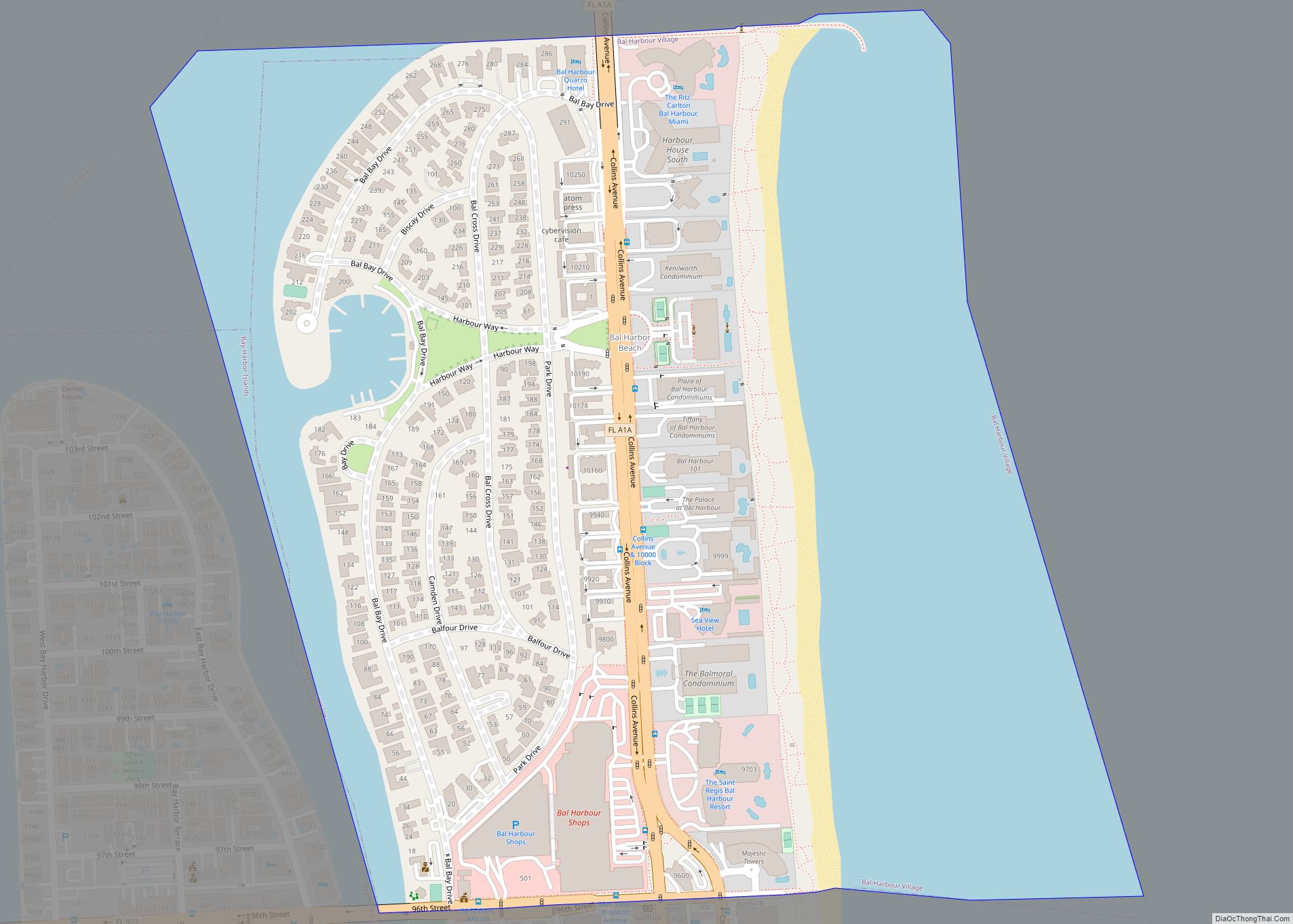
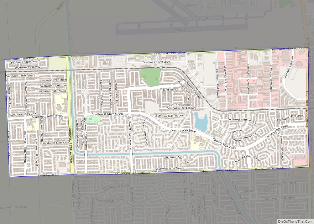
Surfside Road Map
Surfside city Satellite Map
Geography
Surfside has a total area of 2.5 km (1.0 sq mi). 1.3 km (0.5 sq mi) of it is land and 1.2 km (0.5 sq mi) of it (47.42%) is water.
Surrounding areas
Street names
Avenues in Surfside are named for British and American authors and run in alphabetical order from east to west. In 1979, 95th Street in Surfside was renamed “Isaac Singer Boulevard” to reflect the residency of the famous Yiddish author Isaac Bashevis Singer on that street from 1977 until his death in 1991.
See also
Map of Florida State and its subdivision:- Alachua
- Baker
- Bay
- Bradford
- Brevard
- Broward
- Calhoun
- Charlotte
- Citrus
- Clay
- Collier
- Columbia
- Desoto
- Dixie
- Duval
- Escambia
- Flagler
- Franklin
- Gadsden
- Gilchrist
- Glades
- Gulf
- Hamilton
- Hardee
- Hendry
- Hernando
- Highlands
- Hillsborough
- Holmes
- Indian River
- Jackson
- Jefferson
- Lafayette
- Lake
- Lee
- Leon
- Levy
- Liberty
- Madison
- Manatee
- Marion
- Martin
- Miami-Dade
- Monroe
- Nassau
- Okaloosa
- Okeechobee
- Orange
- Osceola
- Palm Beach
- Pasco
- Pinellas
- Polk
- Putnam
- Saint Johns
- Saint Lucie
- Santa Rosa
- Sarasota
- Seminole
- Sumter
- Suwannee
- Taylor
- Union
- Volusia
- Wakulla
- Walton
- Washington
- Alabama
- Alaska
- Arizona
- Arkansas
- California
- Colorado
- Connecticut
- Delaware
- District of Columbia
- Florida
- Georgia
- Hawaii
- Idaho
- Illinois
- Indiana
- Iowa
- Kansas
- Kentucky
- Louisiana
- Maine
- Maryland
- Massachusetts
- Michigan
- Minnesota
- Mississippi
- Missouri
- Montana
- Nebraska
- Nevada
- New Hampshire
- New Jersey
- New Mexico
- New York
- North Carolina
- North Dakota
- Ohio
- Oklahoma
- Oregon
- Pennsylvania
- Rhode Island
- South Carolina
- South Dakota
- Tennessee
- Texas
- Utah
- Vermont
- Virginia
- Washington
- West Virginia
- Wisconsin
- Wyoming
