Tyndall Air Force Base is a United States Air Force Base located 12 miles (19 km) east of Panama City, Florida. The base was named in honor of World War I pilot 1st Lt. Frank Benjamin Tyndall. The base operating unit and host wing is the 325th Fighter Wing (325 FW) of the Air Combat Command (ACC). The base hosts 2,902 active duty members. In October 2018, Hurricane Michael caused significant damage to the base.
| Name: | Tyndall AFB CDP |
|---|---|
| LSAD Code: | 57 |
| LSAD Description: | CDP (suffix) |
| State: | Florida |
| County: | Bay County |
| Elevation: | 5.1 metres (17 ft) |
| FIPS code: | 1272875 |
| Website: | www.tyndall.af.mil |
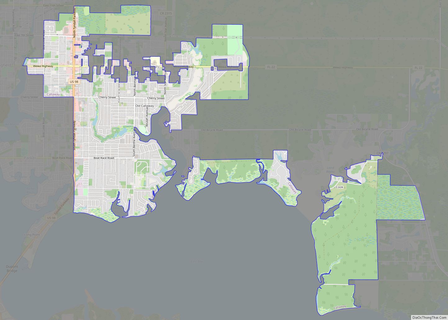
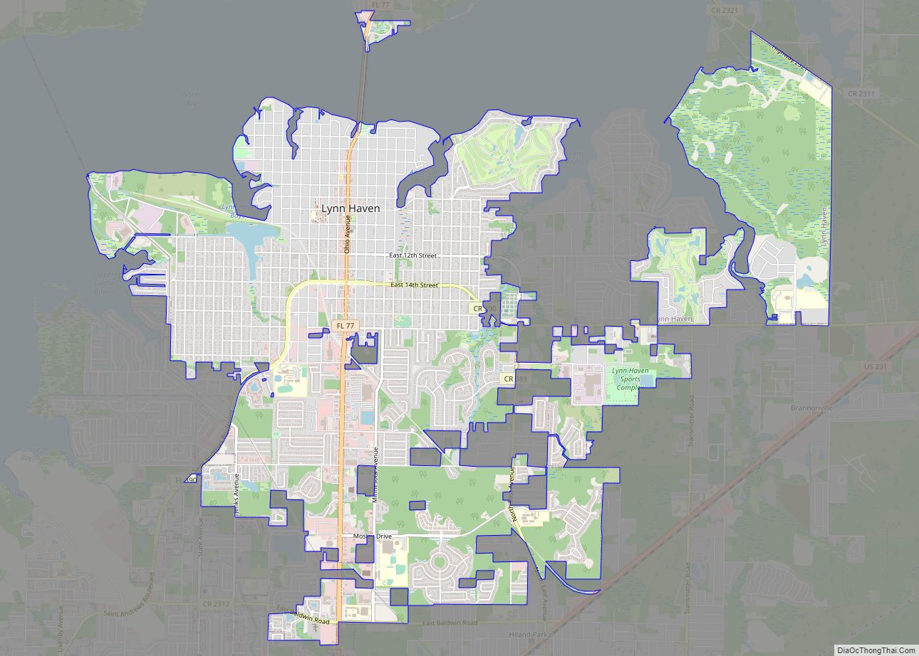
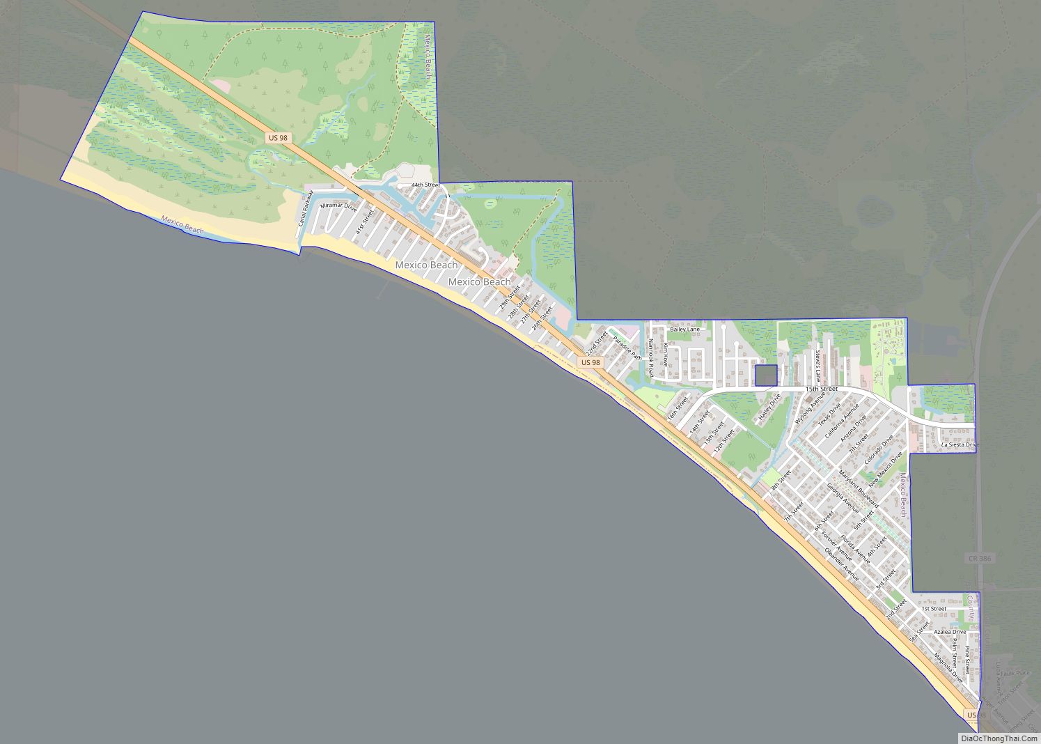
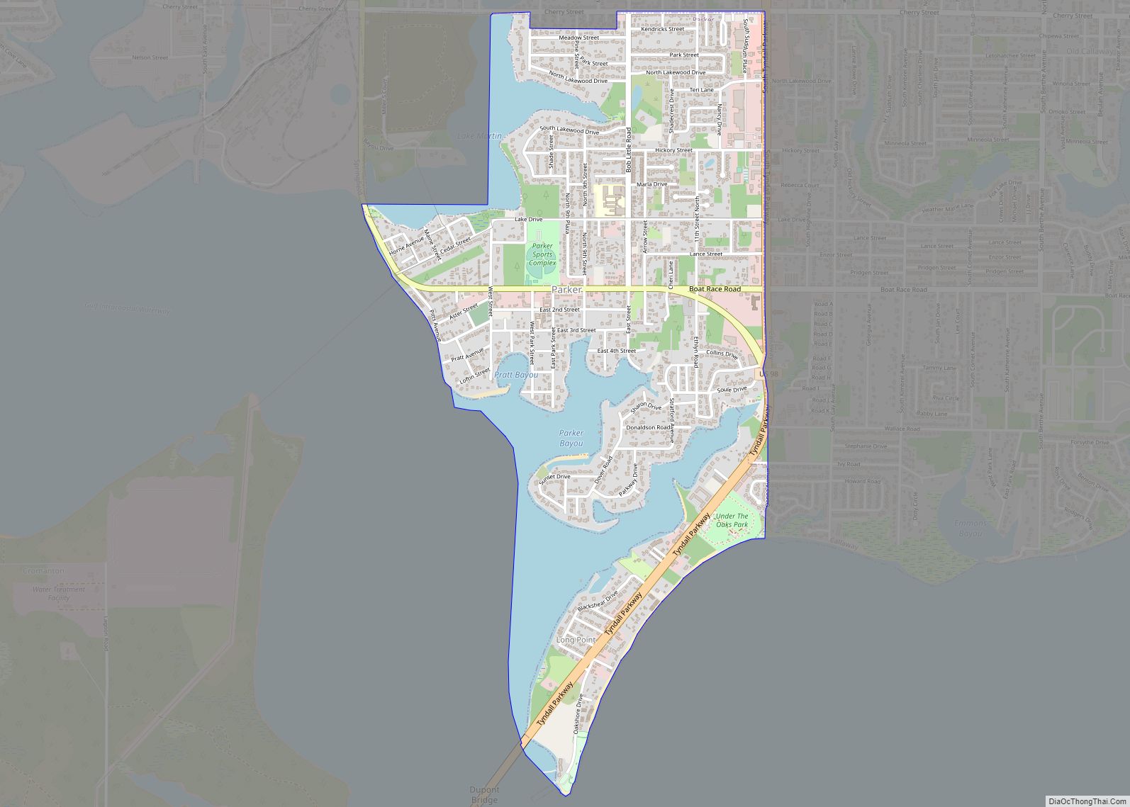
Online Interactive Map
Click on ![]() to view map in "full screen" mode.
to view map in "full screen" mode.
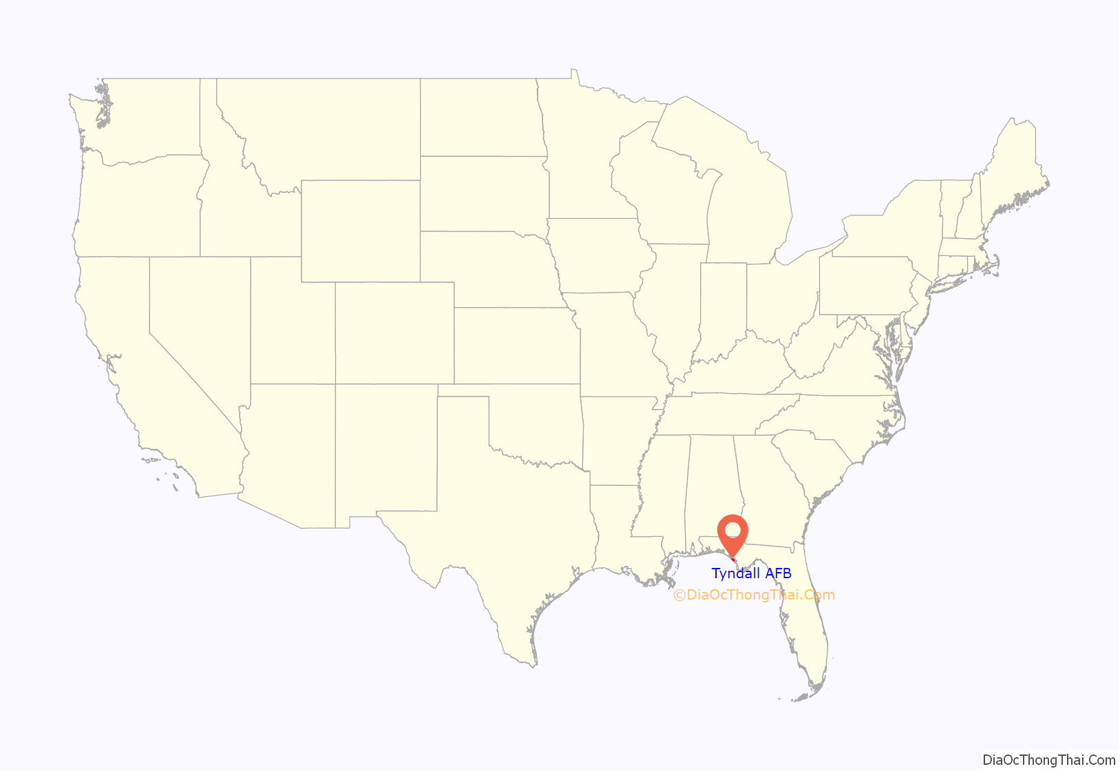
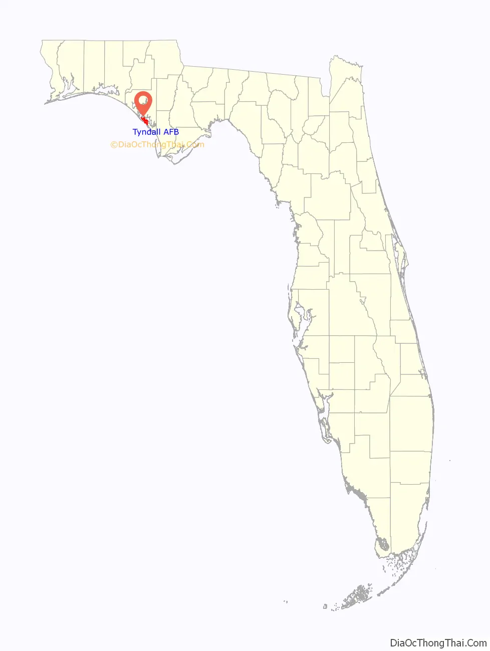
Tyndall AFB location map. Where is Tyndall AFB CDP?
History
Tyndall Field first opened its doors on December 7 1941 as a gunnery range. The airfield was named in honor of 1st Lt Frank Benjamin Tyndall (1894–1930). With the establishment of the United States Air Force in 1947, the facility was renamed “Tyndall Air Force Base” on 13 January 1948. In December 1940, a site board determined that Flexible Gunnery School No. 9 would be located 12 miles (19 km) southeast of Panama City, Florida on East Peninsula. On 6 May 1941, U.S. Army and local dignitaries held an official ground breaking for the school. Panama City’s mayor, Harry Fannin, dug the first spade full of sand, and Colonel Warren Maxwell, Tyndall’s first commander, wielded the first ax on the stubborn palmetto plants, so common on the East Peninsula. The site was covered with pine and palmetto trees, scrub brush, and swamps. Bulldozers worked around the clock to clear the brush and fill in swamps. The base also subsumed the settlements of Cromanton, San Blas, Redfish Point, Auburn and Farmdale.
Although construction was well underway, the base lacked a name. Congressman Bob Sikes suggested naming the school in memory of Lieutenant Francis B. Tyndall. A native of Sewall’s Point, Florida, Lieutenant Tyndall was a fighter pilot during World War I, Silver Star recipient, and commander of the 22nd Aero Squadron, who was credited with shooting down six German planes well behind enemy lines in 1918. While inspecting Army fields near Mooresville, North Carolina on 15 July 1930, Tyndall’s plane, Curtiss P-1F Hawk, 28–61, crashed, killing him instantly. On 13 June 1941, the War Department officially named the new installation Tyndall Field.
On 7 December 1941, the first of 2,000 troops arrived at Tyndall Field. The first class of gunnery students began in February 1942. Although construction was incomplete, instructors and students began preparing for the first class. The first class of 40 gunnery students began on 23 February 1942. Of the thousands of students passing through the Tyndall gates, the most famous was actor Clark Gable, a student here as a U.S. Army Air Forces lieutenant during late 1942 and part of January 1943. Foreign student training began at Tyndall in 1943 with French Air Force gunnery students being the first and Chinese students following later that year.
Cold War
When World War II ended, Tyndall Field was demobilized. The base fell under the control of the Tactical Air Command (TAC) in 1946, but this only lasted three months, as Tyndall became part of the Air University (AU). Tyndall Field was subsequently renamed as Tyndall Air Force Base when the U.S. Air Force (USAF) became a separate service in 1947.
In September 1950, Tyndall became an Air Training Command (ATC) installation, designated as the USAF Pilot Instructor School. The base also trained Ground Controlled Intercept (GCI) operators as well as interceptor pilots & flight crews for the Air Defense Command (ADC). Under the auspices of this training system, GCI trainees would direct TF-51H Mustangs against “enemy” A-26 Invaders. In late 1952, both aircraft were replaced by Lockheed T-33 Shooting Star jet trainers. Airborne radar operator students would begin their training aboard radar-equipped TB-25 Mitchells, then transition to either Lockheed F-94 Starfire or Northrop F-89 Scorpion aircraft. North American F-86F and F-86Ds were eventually added to the training program as ADC units were equipped with them.
In September 1957, Tyndall became an Air Defense Command, later Aerospace Defense Command, base until October 1979 when ADC was inactivated and all its bases and units transferred to Tactical Air Command. Tyndall was headquarters of the ADC 73d Air Division in the late 1950s, and the NORAD Southeast Air Defense Sector from 1960 to 1979. ADC’s 20th Air Division based at Tyndall was responsible for the air defense of virtually all of the southeastern United States during the 1960s and 1970s, while ADC’s 23d Air Division, also based at Tyndall, was responsible for air defense forces in the upper midwest and south central United States.
In the late 1950s into the 1960s, the base transitioned into the North American F-100 Super Sabre, F-101B, F-102A and TF-102B, F-104 Starfighter, and the F-106A and B aircraft, training interceptor pilots for ADC assignments. The base served as a stopover and refueling point for ADC aircraft deployed to Florida during the Cuban Missile Crisis, to be redeployed to other bases in the southeast shortly thereafter. The base maintained an alert facility from which the F-101 Voodoo and F-102 Delta Dagger interceptors were scrambled to intercept unknown aircraft. Tyndall shared training for the F-102 aircraft with Perrin AFB, Texas until Perrin’s closure in mid-1971.
On 1 July 1956 Tyndall AFB became the station operating for the third phase of the ADC mobile radar program, designated as TM-198. Activated by the 678th Aircraft Control and Warning Squadron, Tyndall became operational to support the CIM-10 Bomarc surface-to-air missile program at Hurlburt Field. In 1958 the site was operating with an AN/FPS-20 search radar and a pair of AN/FPS-6 height-finder sets to support the 4751st Air Defense Missile Squadron.
In 1962 the search radar was upgraded and re-designated as an AN/FPS-64. On 31 July 1963, the site was redesignated as NORAD ID Z-198. During 1965 Tyndall AFB joined the Semi Automatic Ground Environment (SAGE) system, feeding data to DC-09 at Gunter AFB, Alabama. After joining, the squadron was re-designated as the 678th Radar Squadron (SAGE) on 1 June 1965. Also in 1965, Tyndall became a joint-use facility with the Federal Aviation Administration (FAA).
It also received a Back-Up Interceptor Control (BUIC) II, and later BUIC III, capability to perform command and control functions. Tyndall retained this function until the 1980s. On 1 March 1970, the 678th was redesignated as the 678th Air Defense Group.
In addition to the main facility, Tyndall operated two AN/FPS-14 Gap Filler sites:
- Carrabelle, FL (TM-198A): 29°51′57″N 084°37′53″W / 29.86583°N 84.63139°W / 29.86583; -84.63139 (TM-198A)
- Eglin AFB, FL (TM-198B): 30°33′14″N 086°45′36″W / 30.55389°N 86.76000°W / 30.55389; -86.76000 (TM-198B)
On 1 October 1979, this site came under Tactical Air Command jurisdiction with the inactivation of Aerospace Defense Command and the formation of ADTAC. On 1 March 1983 the 678th Air Defense Group was inactivated and Tyndall became the home of the NORAD 23rd ADS (Air Defense Squadron) and operated the Southeast Regional Operations Control Center (SE ROCC), later renamed Sector Operations Control Center (SOCC).
The height-finder radar, modified as an AN/FPS-116 c. 1977, was removed c. 1988. In 1995 an AN/FPS-64A was performing search duties. The site now operates an ARSR-4 search radar under FAA control as part of the Joint Surveillance System (JSS) as site “J-11”.
Reorganization, 1991–2018
In 1991, Tyndall underwent a reorganization in response to the Department of Defense efforts to streamline defense management. Headquarters, First Air Force, what had predominantly been the Numbered Air Force for the Air National Guard, moved from Langley AFB, Virginia, to Tyndall. With the disestablishment of Tactical Air Command (TAC) in 1992, Tyndall was temporarily transferred to the Air Combat Command (ACC) and then to the Air Education and Training Command (AETC) in July 1993.
The 21st century proved to be momentous for Tyndall AFB, because it was selected as the first home of the Air Force’s newest aircraft, the F-22 Raptor. In 2002 the Chief of Staff of the Air Force changed the organizational structure of the 325th Fighter Wing from an objective type wing to a combat organization. This organization moved all maintenance activities under the 325th Maintenance Group and all support activities under the 325th Mission Support Group.
Today, Tyndall is the home of the 325th Fighter Wing, providing training for all F-22A Raptor pilots. In 2012, with the gaining of a combat-coded F-22 squadron, Tyndall AFB returned to Air Combat Command, after a 19-year tenure in AETC.
Hurricane Michael, 2018
On 10 October 2018 Hurricane Michael made landfall as a Category 5 hurricane at Mexico Beach just to the east of the base. A weather station near the base recorded a wind gust of 130 miles per hour (210 km/h) before it failed, according to the National Hurricane Center advisory shortly after landfall. The National Weather Service, in a preliminary report released later in the month, stated that the maximum sustained wind speed at the base was 75 knots (139 km/h; 86 mph) and the maximum wind gust was 121 knots (224 km/h; 139 mph), both from 60°. However, in a later interview with Aviation Week on 27 October 2018, Commander Air Combat Command general James M. Holmes stated that, based on other data, the actual peak wind speed was closer to 172 mph. Ninety-three Air Force personnel remained on the base during the storm, while the base’s remaining 3,600 personnel and their families (a total of over 11,000 individuals) were evacuated beforehand. Air Force officials described the damage to the base from the hurricane as “catastrophic,” with all of the base’s facilities being declared “unlivable”. While efforts to repair the base were underway, as of 12 October 2018 there was no confirmed time of completion on the repairs, according to 325th Fighter Wing Commander Col Brian Laidlaw. Airmen assigned to the 325th Fighter Wing were told they would be away from the installation for a significant amount of time. Thirty-three of Tyndall´s 55 F-22 stealth fighters were flown to Wright-Patterson Air Force Base near Dayton, Ohio before the storm. Many of the seventeen F-22s which were left behind became damaged. The extent of the damage to the planes was then known. According to US Senator Bill Nelson and Congressman Matt Gaetz, the aircraft left behind were not in a condition to be flown. A spokesperson for the Air Force said that none of the F-22s were destroyed and that they “believe at this time that they are all repairable.”
In April 2019, the Air Force estimated the hurricane damage to the base at $4.7 billion.
In April 2022, Detachment 1 of the 823rd Red Horse Squadron inactivated at Tyndall and was replaced by the 801st Red Horse Training Squadron. The unit’s role is to provide integrated, realistic training and exercises to combat support teams.
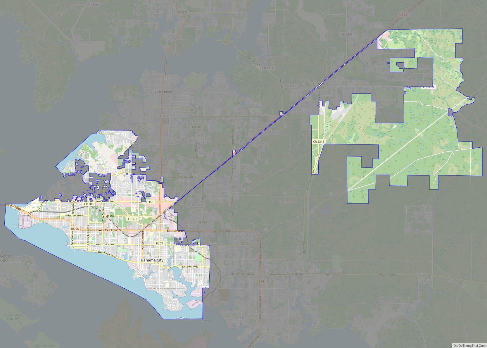
Tyndall AFB Road Map
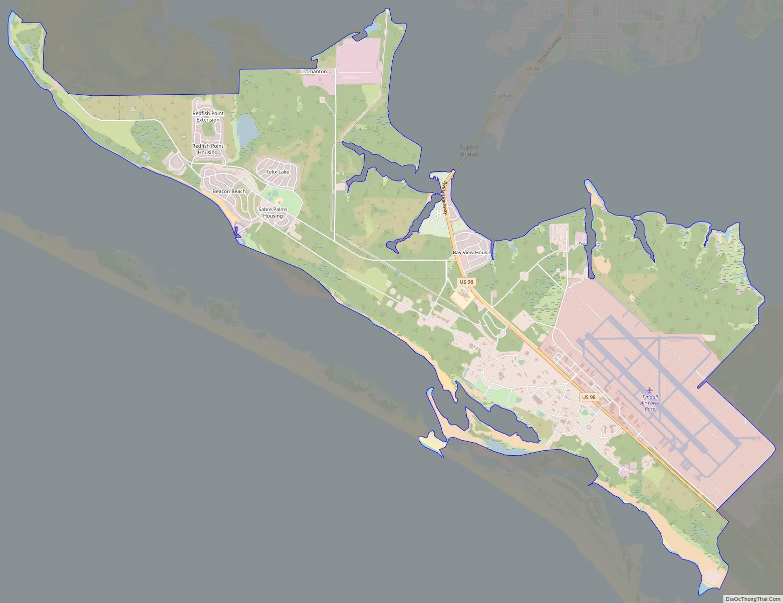
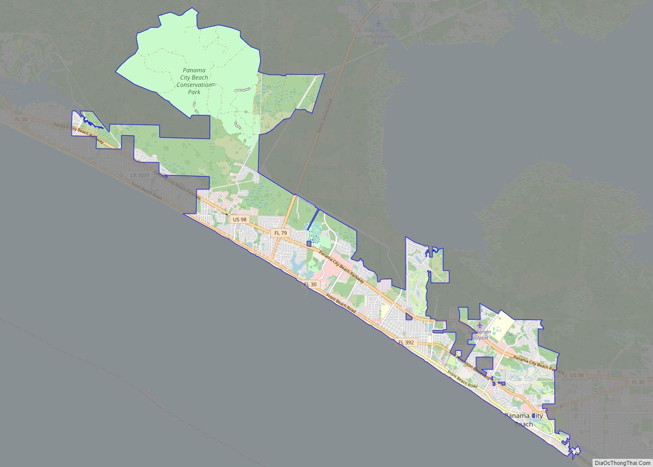
Tyndall AFB city Satellite Map

Geography
Geography
According to the United States Census Bureau, the base has a total area of 14.5 square miles (37.6 km). 14.5 square miles (37.5 km) of it is land, and 0.077 square miles (0.2 km) of it (0.44%) is water.
Demographics
The base is delineated as a census-designated place and as of the 2000 census 2,757 people, 663 households, and 653 families resided on the base. The population density was 73.1/km (189.2/mi). There were 663 housing units at an average density of 17.6/km (45.5/mi). The racial makeup of the base was 77.8% White, 14.2% Black or African American, 0.5% Native American, 3.1% Asian, <0.1% Pacific Islander, 2.8% from other races, and 4.6% from two or more races. Hispanic or Latino of any race were 8.3% of the population.
There were 663 households, out of which 81.0% had children under the age of 18 living with them, 90.8% were married couples living together, 5.1% had a female householder with no husband present, and 1.4% were non-families. 1.2% of all households were made up of individuals, and 0.2% had someone living alone who was 65 years of age or older. The average household size was 3.57 and the average family size was 3.59.
On the base the population was spread out, with 37.9% under the age of 18, 17.5% from 18 to 24, 42.4% from 25 to 44, 2.1% from 45 to 64, and 0.1% who were 65 years of age or older. The median age was 22 years. For every 100 females, there were 121.1 males. For every 100 females age 18 and over, there were 130.7 males.
The median income for a household in the base was $34,191, and the median income for a family was $33,897. Males had a median income of $25,857 versus $19,821 for females. The per capita income for the base was $11,281. About 3.8% of families and 3.6% of the population were below the poverty line, including 5.3% of those under age 18 and none of those age 65 or over.
See also
Map of Florida State and its subdivision:- Alachua
- Baker
- Bay
- Bradford
- Brevard
- Broward
- Calhoun
- Charlotte
- Citrus
- Clay
- Collier
- Columbia
- Desoto
- Dixie
- Duval
- Escambia
- Flagler
- Franklin
- Gadsden
- Gilchrist
- Glades
- Gulf
- Hamilton
- Hardee
- Hendry
- Hernando
- Highlands
- Hillsborough
- Holmes
- Indian River
- Jackson
- Jefferson
- Lafayette
- Lake
- Lee
- Leon
- Levy
- Liberty
- Madison
- Manatee
- Marion
- Martin
- Miami-Dade
- Monroe
- Nassau
- Okaloosa
- Okeechobee
- Orange
- Osceola
- Palm Beach
- Pasco
- Pinellas
- Polk
- Putnam
- Saint Johns
- Saint Lucie
- Santa Rosa
- Sarasota
- Seminole
- Sumter
- Suwannee
- Taylor
- Union
- Volusia
- Wakulla
- Walton
- Washington
- Alabama
- Alaska
- Arizona
- Arkansas
- California
- Colorado
- Connecticut
- Delaware
- District of Columbia
- Florida
- Georgia
- Hawaii
- Idaho
- Illinois
- Indiana
- Iowa
- Kansas
- Kentucky
- Louisiana
- Maine
- Maryland
- Massachusetts
- Michigan
- Minnesota
- Mississippi
- Missouri
- Montana
- Nebraska
- Nevada
- New Hampshire
- New Jersey
- New Mexico
- New York
- North Carolina
- North Dakota
- Ohio
- Oklahoma
- Oregon
- Pennsylvania
- Rhode Island
- South Carolina
- South Dakota
- Tennessee
- Texas
- Utah
- Vermont
- Virginia
- Washington
- West Virginia
- Wisconsin
- Wyoming