Virginia Gardens is a village in Miami-Dade County, Florida, United States. According to the U.S. Census Bureau, the village had a population of 2,364 in 2020.
| Name: | Virginia Gardens village |
|---|---|
| LSAD Code: | 47 |
| LSAD Description: | village (suffix) |
| State: | Florida |
| County: | Miami-Dade County |
| Incorporated: | July 10, 1947 |
| Elevation: | 3 ft (1 m) |
| Total Area: | 0.29 sq mi (0.76 km²) |
| Land Area: | 0.29 sq mi (0.76 km²) |
| Water Area: | 0.00 sq mi (0.00 km²) |
| Total Population: | 2,364 |
| Population Density: | 8,040.82/sq mi (3,109.74/km²) |
| ZIP code: | 33166 |
| Area code: | 305, 786 |
| FIPS code: | 1274575 |
| GNISfeature ID: | 0292782 |
| Website: | www.virginiagardens-fl.gov |
Online Interactive Map
Click on ![]() to view map in "full screen" mode.
to view map in "full screen" mode.
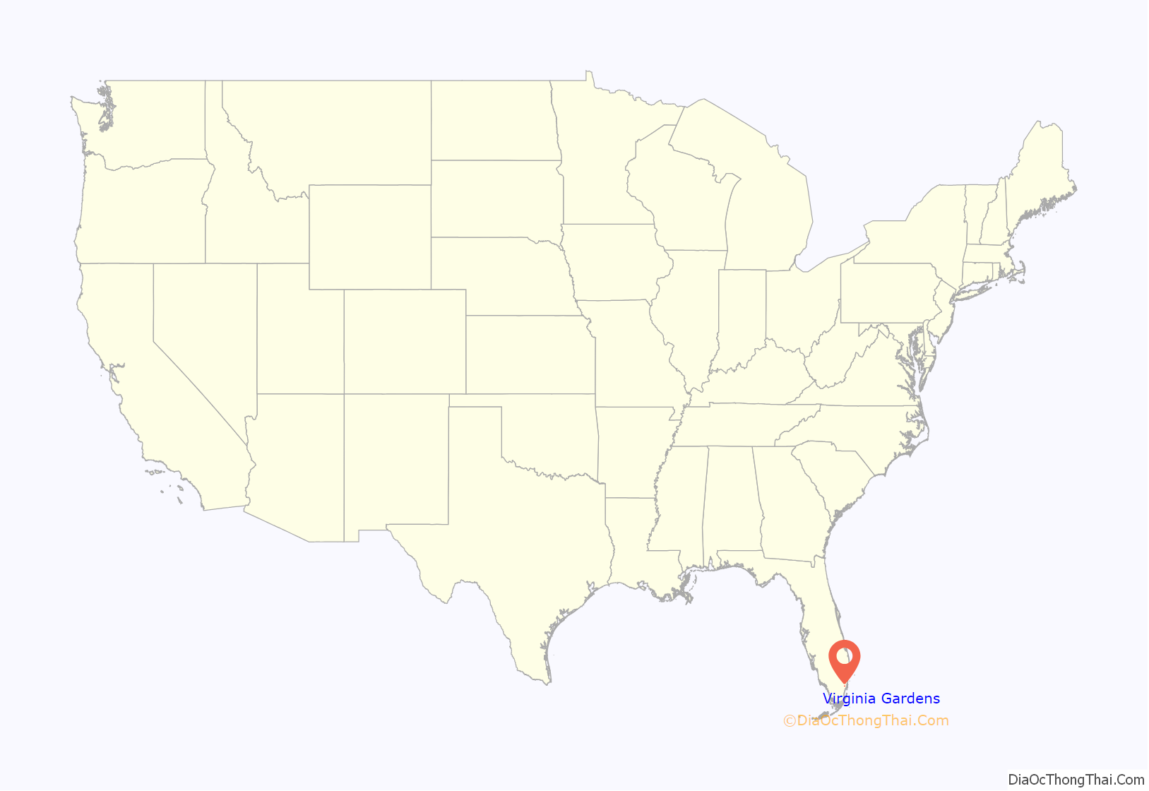
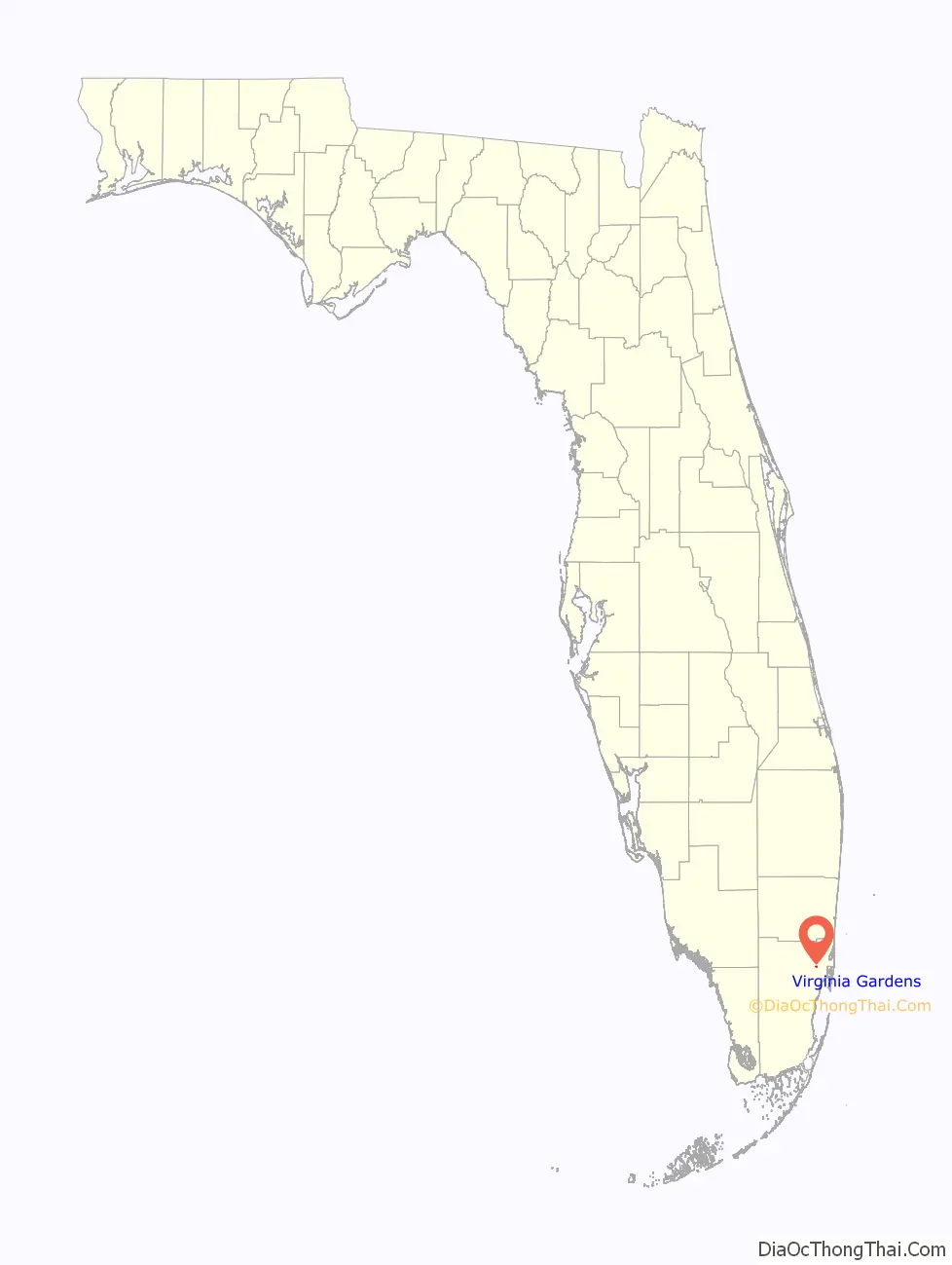
Virginia Gardens location map. Where is Virginia Gardens village?
History
In 1947, Miami Springs (of which it was then a part) passed an ordinance outlawing horses from the city limits. In response, about 50 citizens decided to break away and form their own village.
The village is named for the state of Virginia, original home of many of the wealthy transplants who made up the founding residents. At the time of incorporation, many of the residents owned large estates, some up to 5 acres (20,000 m), suitable for horse ownership. Only a single 1-acre (4,000 m) residential property remains within the village limits today; the bulk of residential property now consists of 0.2-acre (810 m) lots typical of suburban developments.
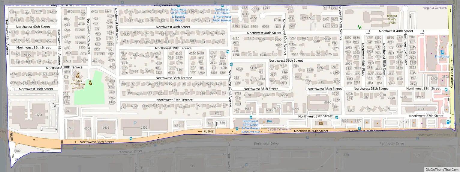
Virginia Gardens Road Map
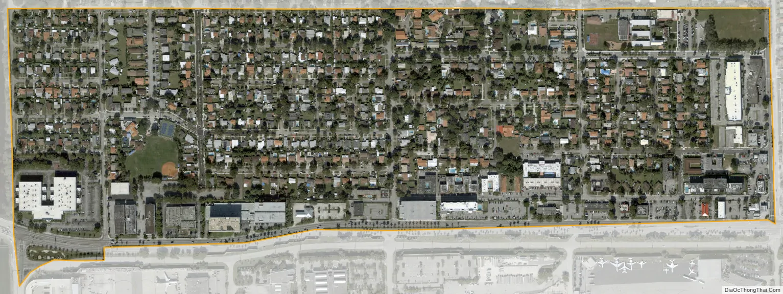
Virginia Gardens city Satellite Map
Geography
Virginia Gardens is located 9 miles (14 km) northwest of downtown Miami at 25°48′33″N 80°17′48″W / 25.80917°N 80.29667°W / 25.80917; -80.29667 (25.809175, –80.296697). It is bordered to the north and east by the city of Miami Springs and to the south by Miami International Airport.
According to the United States Census Bureau, the village has a total area of 0.3 square miles (0.8 km), all land.
See also
Map of Florida State and its subdivision:- Alachua
- Baker
- Bay
- Bradford
- Brevard
- Broward
- Calhoun
- Charlotte
- Citrus
- Clay
- Collier
- Columbia
- Desoto
- Dixie
- Duval
- Escambia
- Flagler
- Franklin
- Gadsden
- Gilchrist
- Glades
- Gulf
- Hamilton
- Hardee
- Hendry
- Hernando
- Highlands
- Hillsborough
- Holmes
- Indian River
- Jackson
- Jefferson
- Lafayette
- Lake
- Lee
- Leon
- Levy
- Liberty
- Madison
- Manatee
- Marion
- Martin
- Miami-Dade
- Monroe
- Nassau
- Okaloosa
- Okeechobee
- Orange
- Osceola
- Palm Beach
- Pasco
- Pinellas
- Polk
- Putnam
- Saint Johns
- Saint Lucie
- Santa Rosa
- Sarasota
- Seminole
- Sumter
- Suwannee
- Taylor
- Union
- Volusia
- Wakulla
- Walton
- Washington
- Alabama
- Alaska
- Arizona
- Arkansas
- California
- Colorado
- Connecticut
- Delaware
- District of Columbia
- Florida
- Georgia
- Hawaii
- Idaho
- Illinois
- Indiana
- Iowa
- Kansas
- Kentucky
- Louisiana
- Maine
- Maryland
- Massachusetts
- Michigan
- Minnesota
- Mississippi
- Missouri
- Montana
- Nebraska
- Nevada
- New Hampshire
- New Jersey
- New Mexico
- New York
- North Carolina
- North Dakota
- Ohio
- Oklahoma
- Oregon
- Pennsylvania
- Rhode Island
- South Carolina
- South Dakota
- Tennessee
- Texas
- Utah
- Vermont
- Virginia
- Washington
- West Virginia
- Wisconsin
- Wyoming


