Balta is a city in Pierce County, North Dakota, United States. The population was 66 at the 2020 census. Balta was founded in 1912, and is known for its duck hunting.
Old Mt. Carmel Cemetery, Wrought-Iron Cross Site, in or near Balta, is listed on the National Register of Historic Places.
| Name: | Balta city |
|---|---|
| LSAD Code: | 25 |
| LSAD Description: | city (suffix) |
| State: | North Dakota |
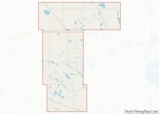
| County: | Pierce County |
| Founded: | 1912 |
| Elevation: | 1,552 ft (473 m) |
| Total Area: | 0.25 sq mi (0.66 km²) |
| Land Area: | 0.23 sq mi (0.59 km²) |
| Water Area: | 0.03 sq mi (0.07 km²) |
| Total Population: | 66 |
| Population Density: | 290.75/sq mi (112.34/km²) |
| ZIP code: | 58313 |
| Area code: | 701 |
| FIPS code: | 3804580 |
| GNISfeature ID: | 1027801 |
Online Interactive Map
Click on ![]() to view map in "full screen" mode.
to view map in "full screen" mode.
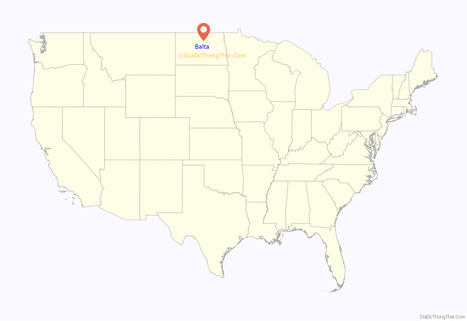
Balta location map. Where is Balta city?
History
Originally, the town was named Egan, in honor of Egan Pierce, an official with the Soo Line railroad. It was renamed by the locals after Balta, in Russian Empire (current Ukraine), the original home of many immigrant settlers.
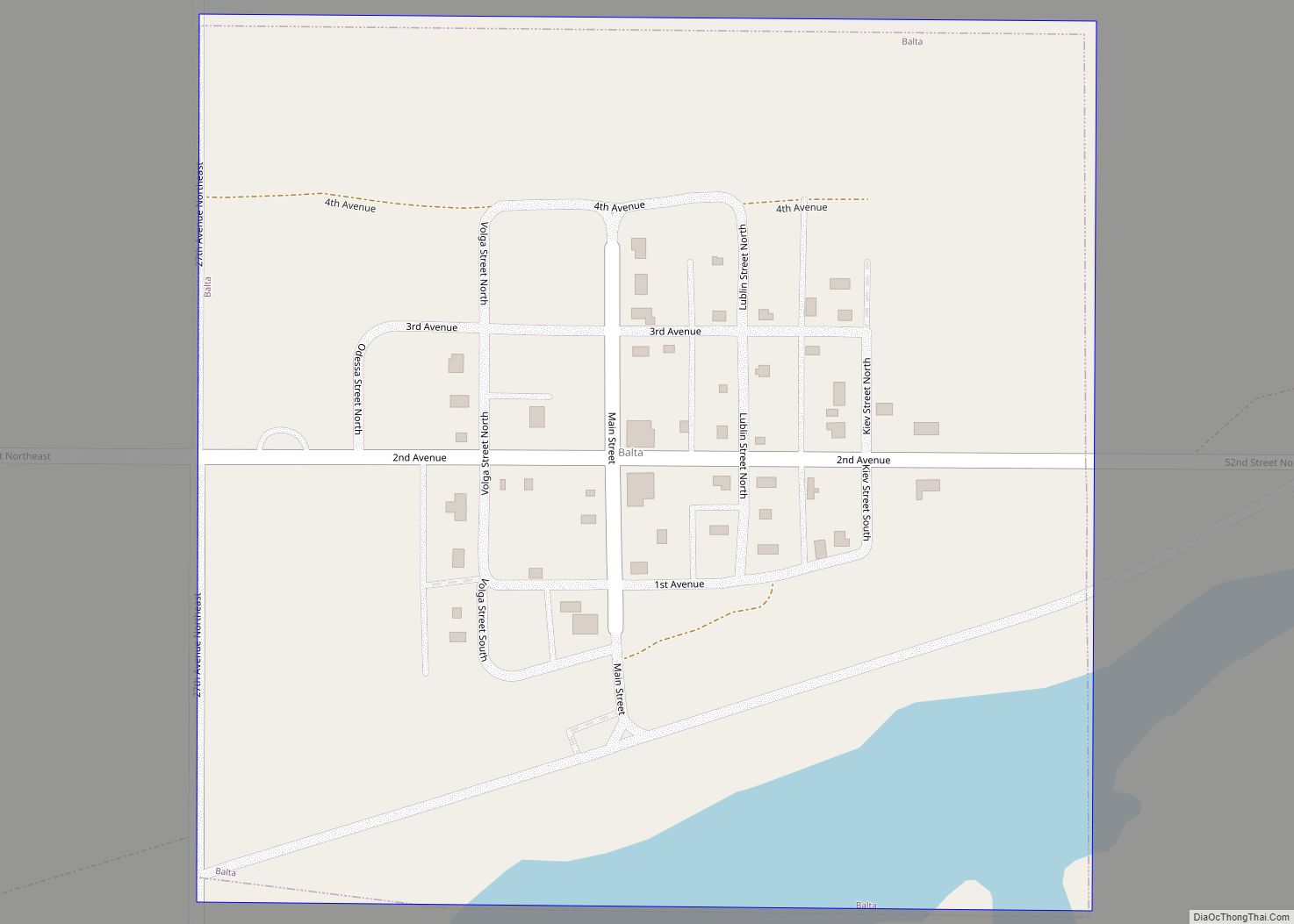
Balta Road Map
Balta city Satellite Map
Geography
Balta is located at 48°10′2″N 100°2′12″W / 48.16722°N 100.03667°W / 48.16722; -100.03667 (48.167154, -100.036770).
According to the United States Census Bureau, the city has a total area of 0.25 square miles (0.65 km), of which 0.22 square miles (0.57 km) is land and 0.03 square miles (0.08 km) is water.
According to the U.S. Geological Survey (which warns that “there is no generally accepted definition of a geographic center”), the center of the continent of North America is six miles west of Balta, at a latitude of 48°10′ and a longitude of 100°10′. As Balta is so small, nearby Rugby calls itself the center of the continent.
See also
Map of North Dakota State and its subdivision:- Adams
- Barnes
- Benson
- Billings
- Bottineau
- Bowman
- Burke
- Burleigh
- Cass
- Cavalier
- Dickey
- Divide
- Dunn
- Eddy
- Emmons
- Foster
- Golden Valley
- Grand Forks
- Grant
- Griggs
- Hettinger
- Kidder
- Lamoure
- Logan
- McHenry
- McIntosh
- McKenzie
- McLean
- Mercer
- Morton
- Mountrail
- Nelson
- Oliver
- Pembina
- Pierce
- Ramsey
- Ransom
- Renville
- Richland
- Rolette
- Sargent
- Sheridan
- Sioux
- Slope
- Stark
- Steele
- Stutsman
- Towner
- Traill
- Walsh
- Ward
- Wells
- Williams
- Alabama
- Alaska
- Arizona
- Arkansas
- California
- Colorado
- Connecticut
- Delaware
- District of Columbia
- Florida
- Georgia
- Hawaii
- Idaho
- Illinois
- Indiana
- Iowa
- Kansas
- Kentucky
- Louisiana
- Maine
- Maryland
- Massachusetts
- Michigan
- Minnesota
- Mississippi
- Missouri
- Montana
- Nebraska
- Nevada
- New Hampshire
- New Jersey
- New Mexico
- New York
- North Carolina
- North Dakota
- Ohio
- Oklahoma
- Oregon
- Pennsylvania
- Rhode Island
- South Carolina
- South Dakota
- Tennessee
- Texas
- Utah
- Vermont
- Virginia
- Washington
- West Virginia
- Wisconsin
- Wyoming
