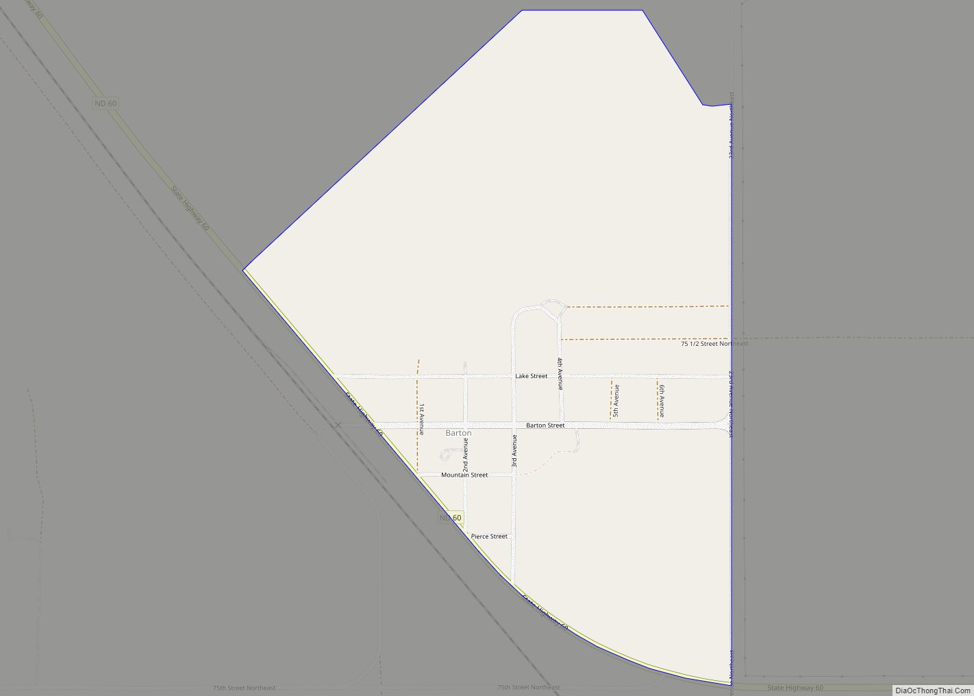
Barton is a census-designated place and unincorporated community in Pierce County, North Dakota, United States. Its population was 20 as of the 2010 census.
| Name: | Barton CDP |
|---|---|
| LSAD Code: | 57 |
| LSAD Description: | CDP (suffix) |
| State: | North Dakota |
| County: | Pierce County |
| Founded: | 1887 |
| Incorporated: | 1906 |
| Elevation: | 1,506 ft (459 m) |
| Total Area: | 0.44 sq mi (1.13 km²) |
| Land Area: | 0.34 sq mi (0.87 km²) |
| Water Area: | 0.10 sq mi (0.26 km²) |
| Total Population: | 13 |
| Population Density: | 38.46/sq mi (14.86/km²) |
| ZIP code: | 58384 |
| Area code: | 701 |
| FIPS code: | 3805220 |
| GNISfeature ID: | 1027821 |
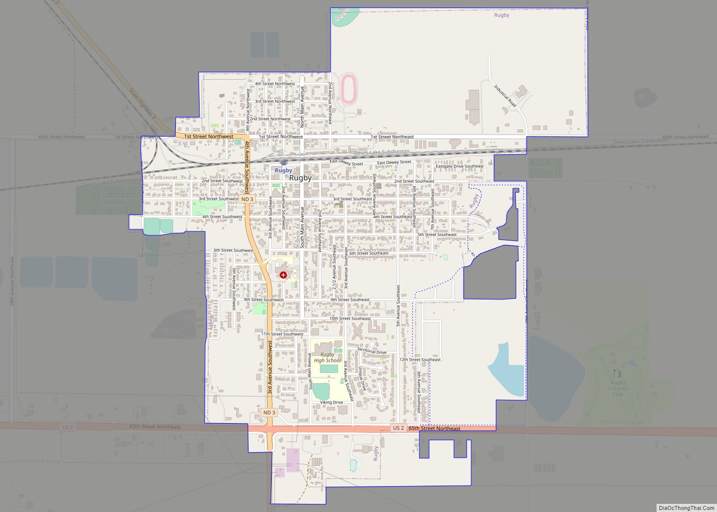
Online Interactive Map
Click on ![]() to view map in "full screen" mode.
to view map in "full screen" mode.
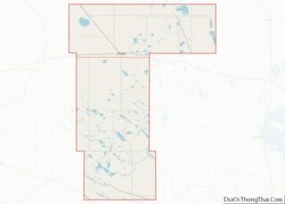
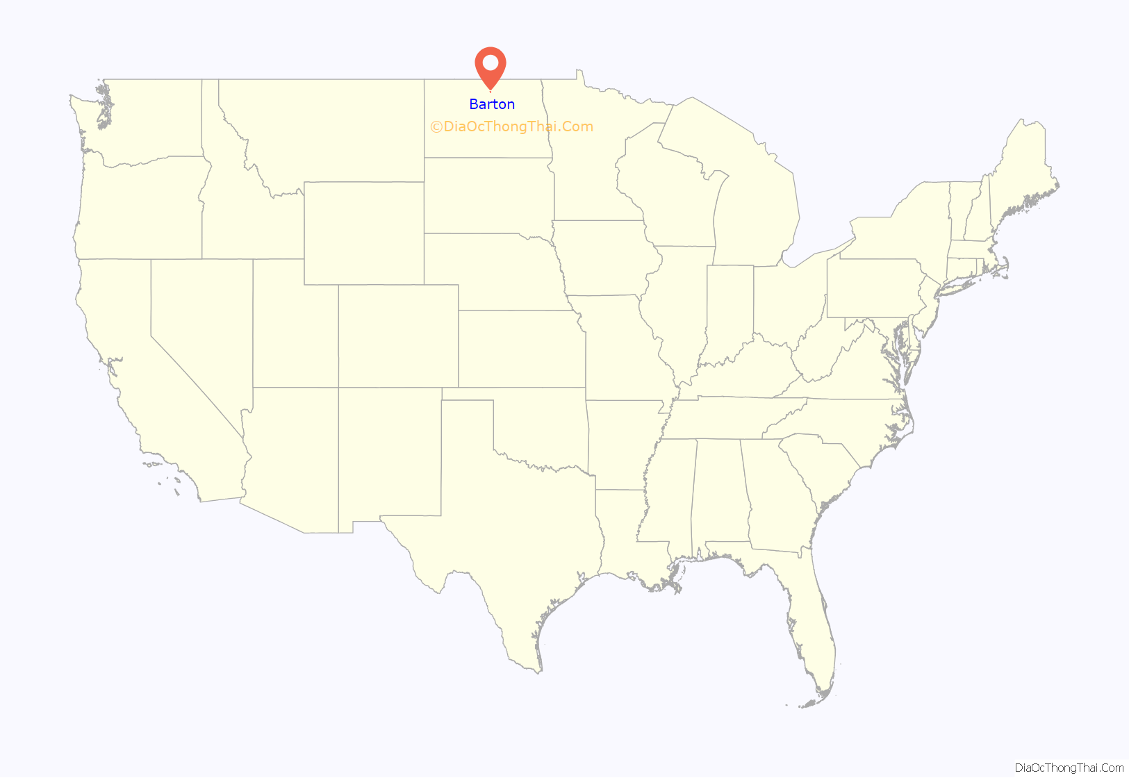
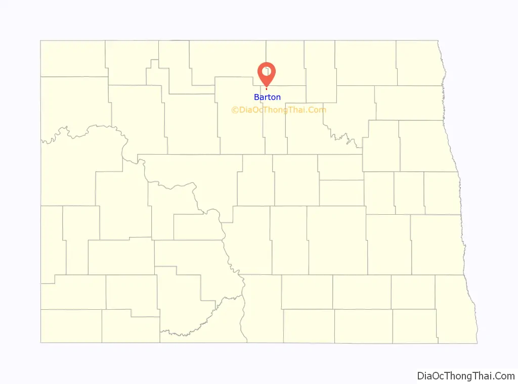
Barton location map. Where is Barton CDP?
History
Barton was founded in 1887 at a junction on the Great Northern Railway. The town was originally named Denney. The town was renamed to Barton on June 13, 1893 by as Postmaster James A. Tyvand. Barton was incorporated in 1906, and the town reached the peak population of 202 in 1910. Barton declined to a population of 38 in 1980. Barton disincorporated in 1997.
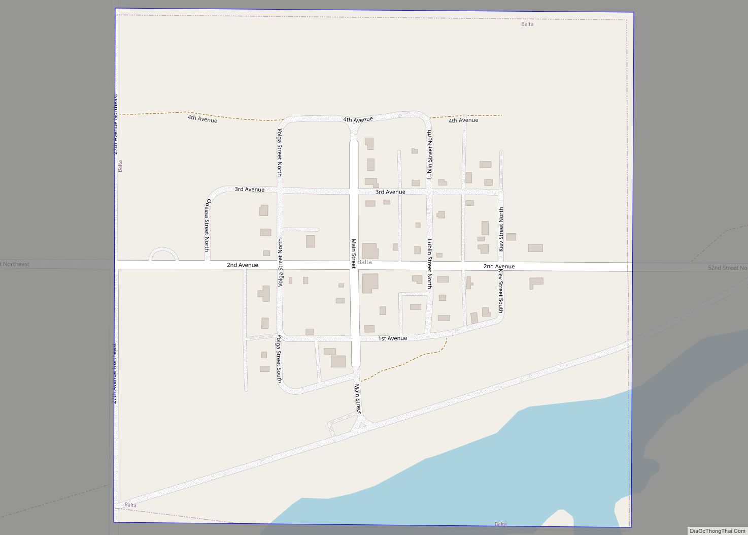
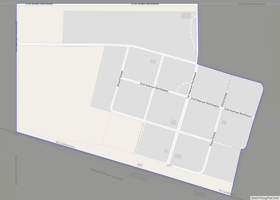
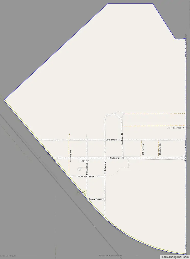
Barton Road Map
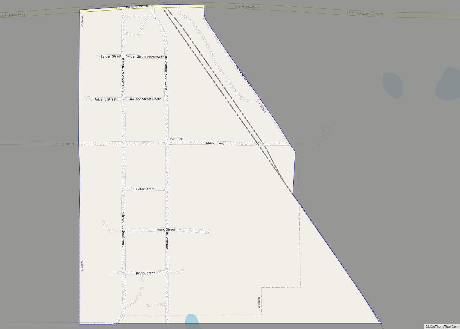
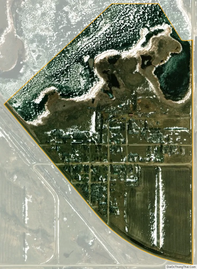
Barton city Satellite Map
Geography
Barton is located at 48°30′25″N 100°10′34″W / 48.50694°N 100.17611°W / 48.50694; -100.17611 (48.506944, −100.176111).
According to the United States Census Bureau, the CDP has a total area of 0.44 square miles (1.14 km), of which 0.34 square miles (0.88 km) is land and 0.1 square miles (0.26 km) is water.
See also
Map of North Dakota State and its subdivision:- Adams
- Barnes
- Benson
- Billings
- Bottineau
- Bowman
- Burke
- Burleigh
- Cass
- Cavalier
- Dickey
- Divide
- Dunn
- Eddy
- Emmons
- Foster
- Golden Valley
- Grand Forks
- Grant
- Griggs
- Hettinger
- Kidder
- Lamoure
- Logan
- McHenry
- McIntosh
- McKenzie
- McLean
- Mercer
- Morton
- Mountrail
- Nelson
- Oliver
- Pembina
- Pierce
- Ramsey
- Ransom
- Renville
- Richland
- Rolette
- Sargent
- Sheridan
- Sioux
- Slope
- Stark
- Steele
- Stutsman
- Towner
- Traill
- Walsh
- Ward
- Wells
- Williams
- Alabama
- Alaska
- Arizona
- Arkansas
- California
- Colorado
- Connecticut
- Delaware
- District of Columbia
- Florida
- Georgia
- Hawaii
- Idaho
- Illinois
- Indiana
- Iowa
- Kansas
- Kentucky
- Louisiana
- Maine
- Maryland
- Massachusetts
- Michigan
- Minnesota
- Mississippi
- Missouri
- Montana
- Nebraska
- Nevada
- New Hampshire
- New Jersey
- New Mexico
- New York
- North Carolina
- North Dakota
- Ohio
- Oklahoma
- Oregon
- Pennsylvania
- Rhode Island
- South Carolina
- South Dakota
- Tennessee
- Texas
- Utah
- Vermont
- Virginia
- Washington
- West Virginia
- Wisconsin
- Wyoming