Bisbee is a city in Towner County, North Dakota, United States. The population was 110 at the 2020 census. Bisbee was founded in 1888.
| Name: | Bisbee city |
|---|---|
| LSAD Code: | 25 |
| LSAD Description: | city (suffix) |
| State: | North Dakota |
| County: | Towner County |
| Founded: | 1888 |
| Elevation: | 1,591 ft (485 m) |
| Total Area: | 0.30 sq mi (0.78 km²) |
| Land Area: | 0.30 sq mi (0.78 km²) |
| Water Area: | 0.00 sq mi (0.00 km²) |
| Total Population: | 110 |
| Population Density: | 365.45/sq mi (141.31/km²) |
| ZIP code: | 58317 |
| Area code: | 701 |
| FIPS code: | 3807180 |
| GNISfeature ID: | 1028012 |
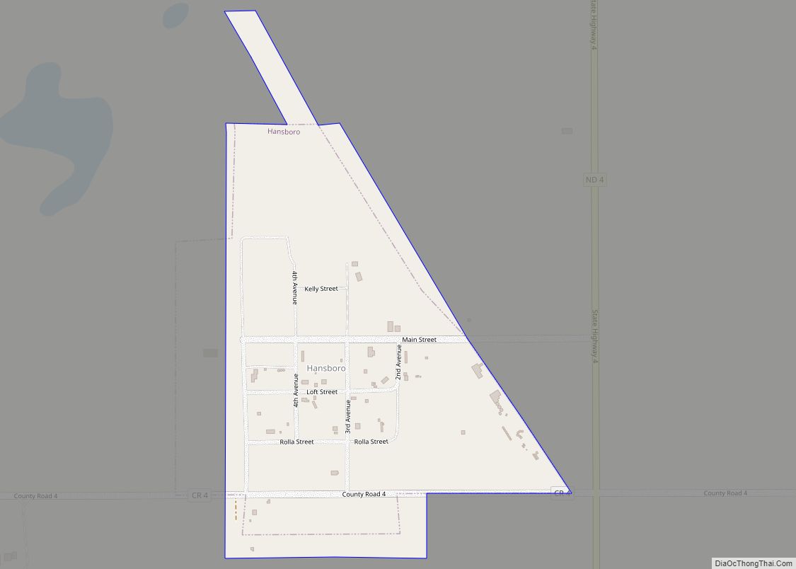
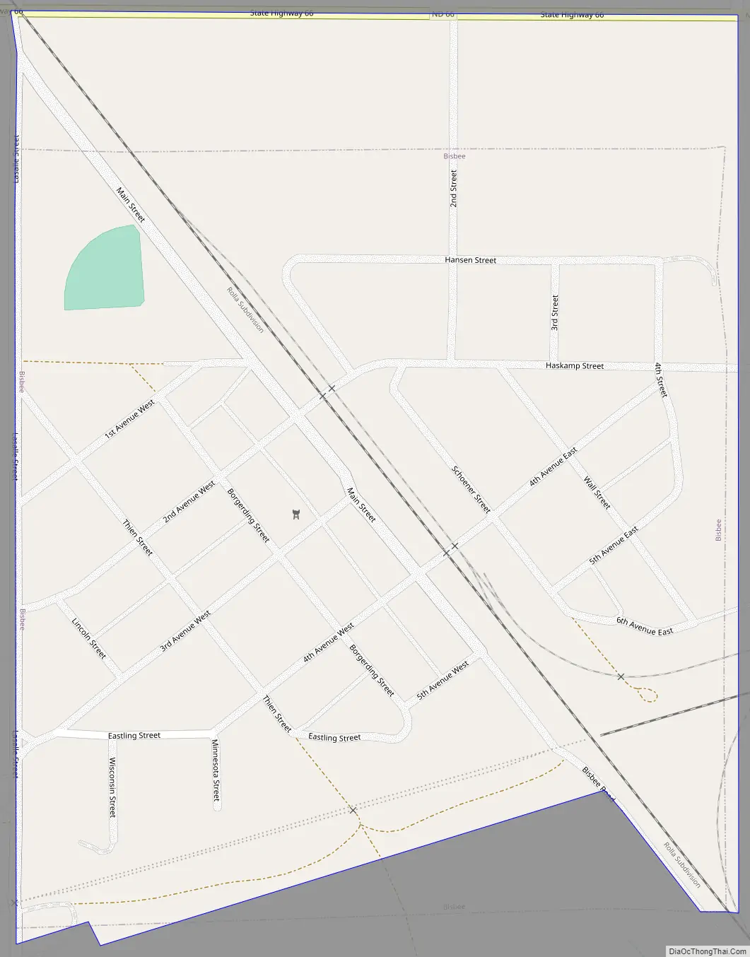
Online Interactive Map
Click on ![]() to view map in "full screen" mode.
to view map in "full screen" mode.
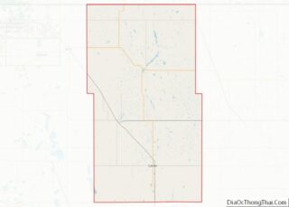
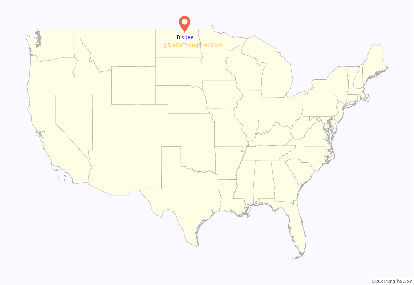
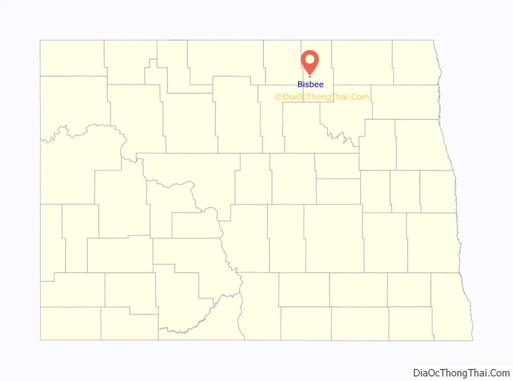
Bisbee location map. Where is Bisbee city?
History
The town was named after Colonel Andrew Bisbee, a native of Peru, Maine. Bisbee, a veteran of the Civil War who came to Towner County in 1885. In 1890 he was chosen by the county commissioners of Towner County to solicit drought relief and was elected to a term in the North Dakota Senate. Col. Bisbee donated a portion of the townsite of Bisbee, as well donating land for the railroads to pass through the village.
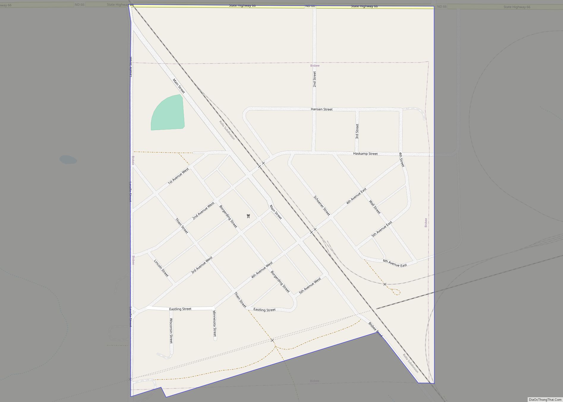
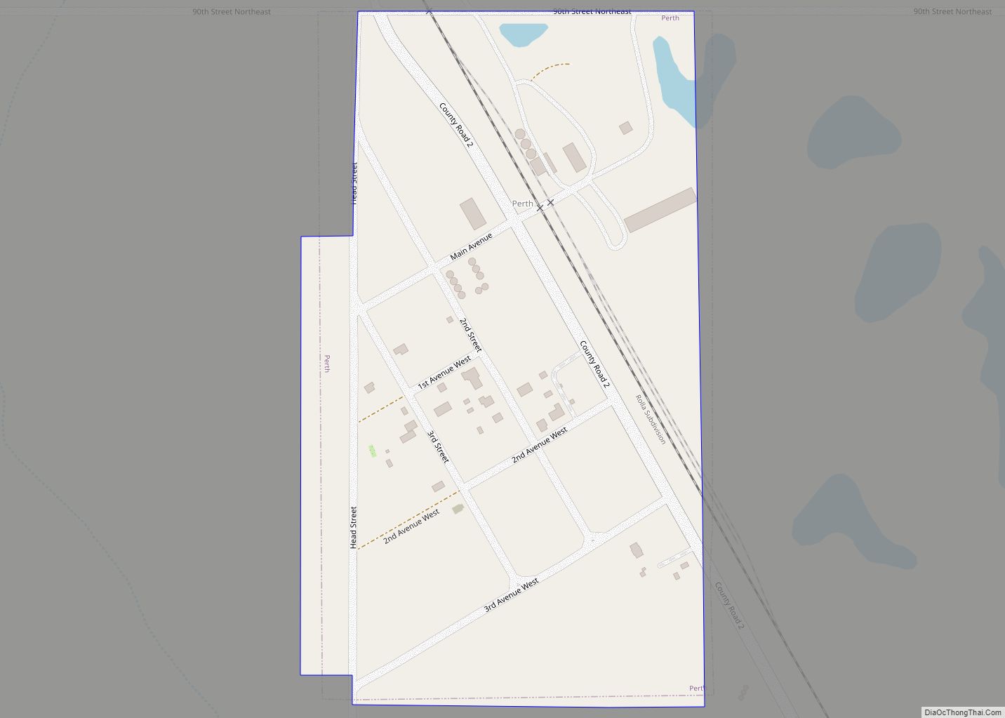
Bisbee Road Map
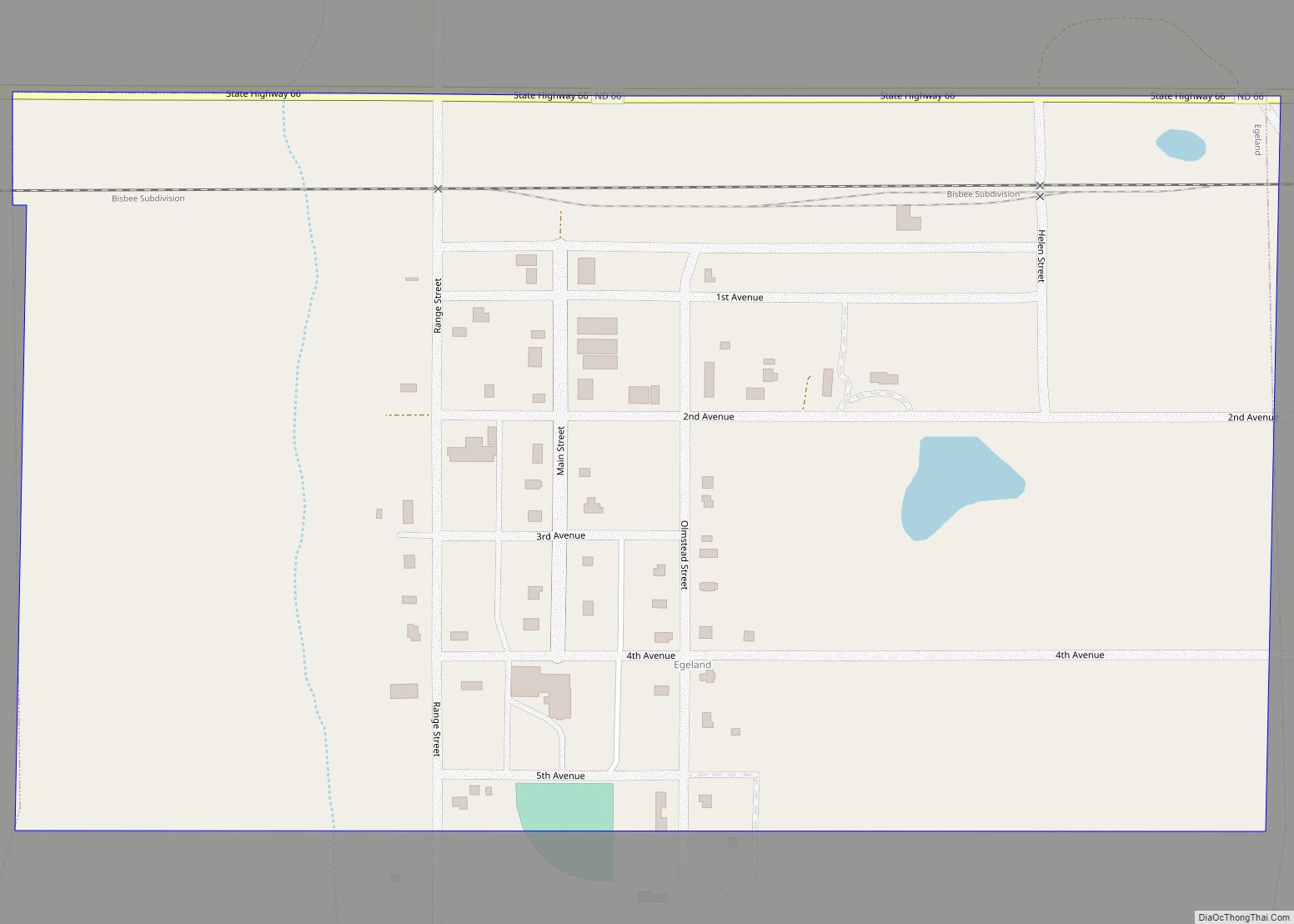
Bisbee city Satellite Map

Geography
Bisbee is located at 48°37′33″N 99°22′47″W / 48.62583°N 99.37972°W / 48.62583; -99.37972 (48.625959, -99.379609).
According to the United States Census Bureau, the city has a total area of 0.26 square miles (0.67 km), all land.
See also
Map of North Dakota State and its subdivision:- Adams
- Barnes
- Benson
- Billings
- Bottineau
- Bowman
- Burke
- Burleigh
- Cass
- Cavalier
- Dickey
- Divide
- Dunn
- Eddy
- Emmons
- Foster
- Golden Valley
- Grand Forks
- Grant
- Griggs
- Hettinger
- Kidder
- Lamoure
- Logan
- McHenry
- McIntosh
- McKenzie
- McLean
- Mercer
- Morton
- Mountrail
- Nelson
- Oliver
- Pembina
- Pierce
- Ramsey
- Ransom
- Renville
- Richland
- Rolette
- Sargent
- Sheridan
- Sioux
- Slope
- Stark
- Steele
- Stutsman
- Towner
- Traill
- Walsh
- Ward
- Wells
- Williams
- Alabama
- Alaska
- Arizona
- Arkansas
- California
- Colorado
- Connecticut
- Delaware
- District of Columbia
- Florida
- Georgia
- Hawaii
- Idaho
- Illinois
- Indiana
- Iowa
- Kansas
- Kentucky
- Louisiana
- Maine
- Maryland
- Massachusetts
- Michigan
- Minnesota
- Mississippi
- Missouri
- Montana
- Nebraska
- Nevada
- New Hampshire
- New Jersey
- New Mexico
- New York
- North Carolina
- North Dakota
- Ohio
- Oklahoma
- Oregon
- Pennsylvania
- Rhode Island
- South Carolina
- South Dakota
- Tennessee
- Texas
- Utah
- Vermont
- Virginia
- Washington
- West Virginia
- Wisconsin
- Wyoming