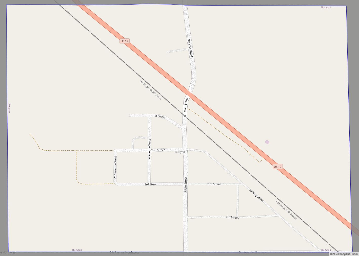
Bucyrus is a city in Adams County, North Dakota, United States. The population was 18 at the 2020 census.
The city was founded in 1907 along the Milwaukee Road’s transcontinental rail line known as the Pacific Extension. Before being named Bucyrus in 1908, the city was called first Wolf Butte and then Dolan, which was ultimately rejected due to similarity with Doland, South Dakota. The new name Bucyrus was taken from the Bucyrus Company steam shovels used to build the railroad grade within the city.
In 1922 a cyclone hit and destroyed the home of the Herbert and Ruth Spencer family in Bucyrus, killing three and injuring three. After the storm, the surviving family members could not find the baby, Shirley, 13 months old. A search party finally found baby Shirley the next day, sleeping soundly among bricks from the chimney in a wheat field half a mile from the home. For the rest of her life, Shirley Spencer was known as “the Cyclone Baby.”
The town was struck by a wind-fueled wildfire on October 18, 2012. Much of the town was destroyed and 26 people were displaced.
| Name: | Bucyrus city |
|---|---|
| LSAD Code: | 25 |
| LSAD Description: | city (suffix) |
| State: | North Dakota |
| County: | Adams County |
| Founded: | 1908 |
| Elevation: | 2,782 ft (848 m) |
| Total Area: | 0.35 sq mi (0.91 km²) |
| Land Area: | 0.35 sq mi (0.91 km²) |
| Water Area: | 0.00 sq mi (0.00 km²) |
| Total Population: | 18 |
| Population Density: | 51.43/sq mi (19.86/km²) |
| ZIP code: | 58639 |
| Area code: | 701 |
| FIPS code: | 3810300 |
| GNISfeature ID: | 1028170 |
Online Interactive Map
Click on ![]() to view map in "full screen" mode.
to view map in "full screen" mode.
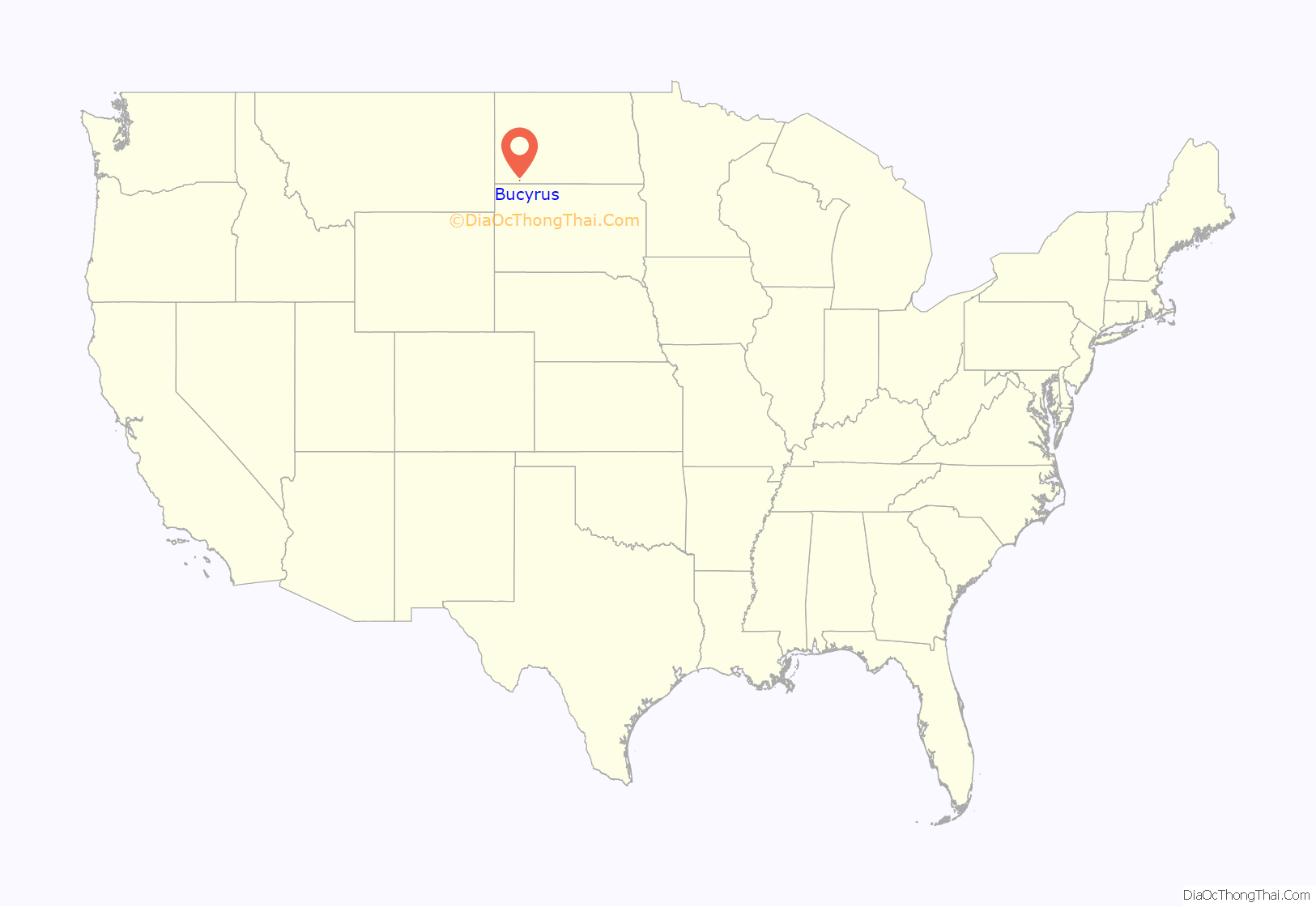
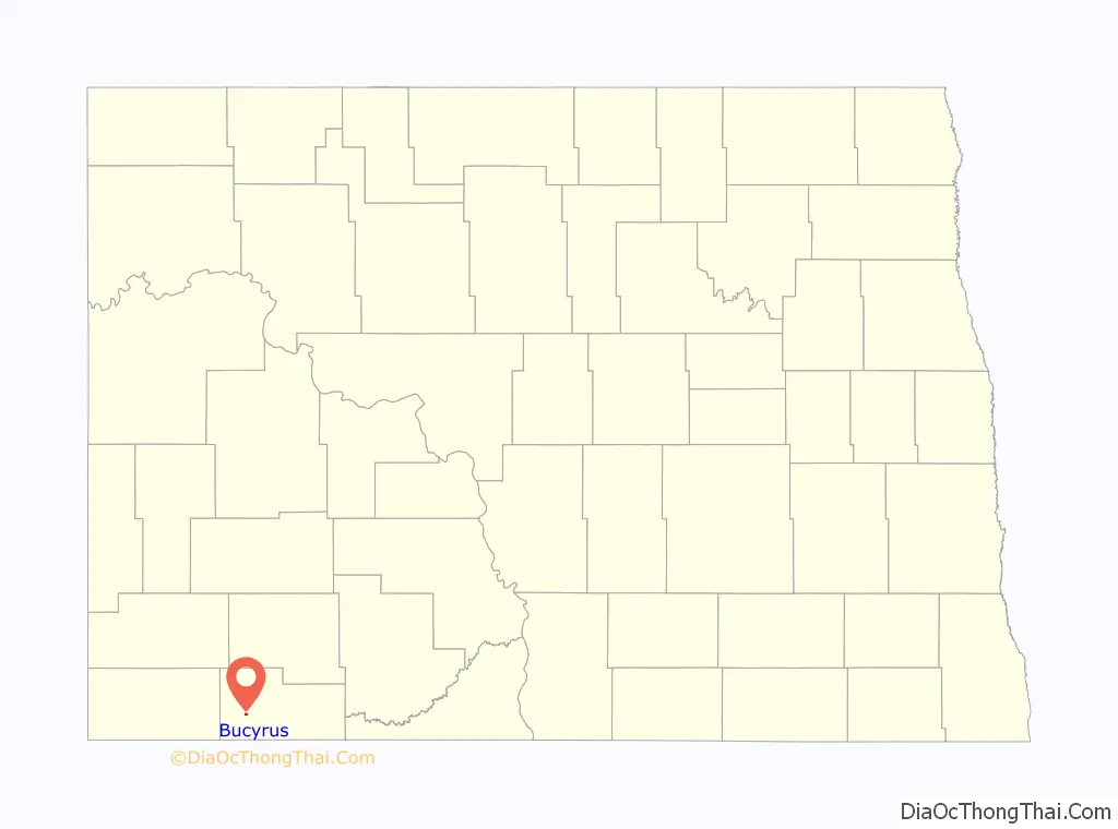
Bucyrus location map. Where is Bucyrus city?
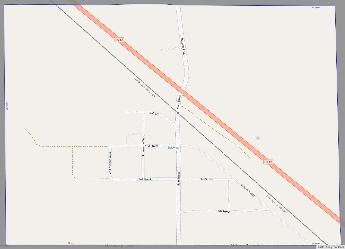
Bucyrus Road Map
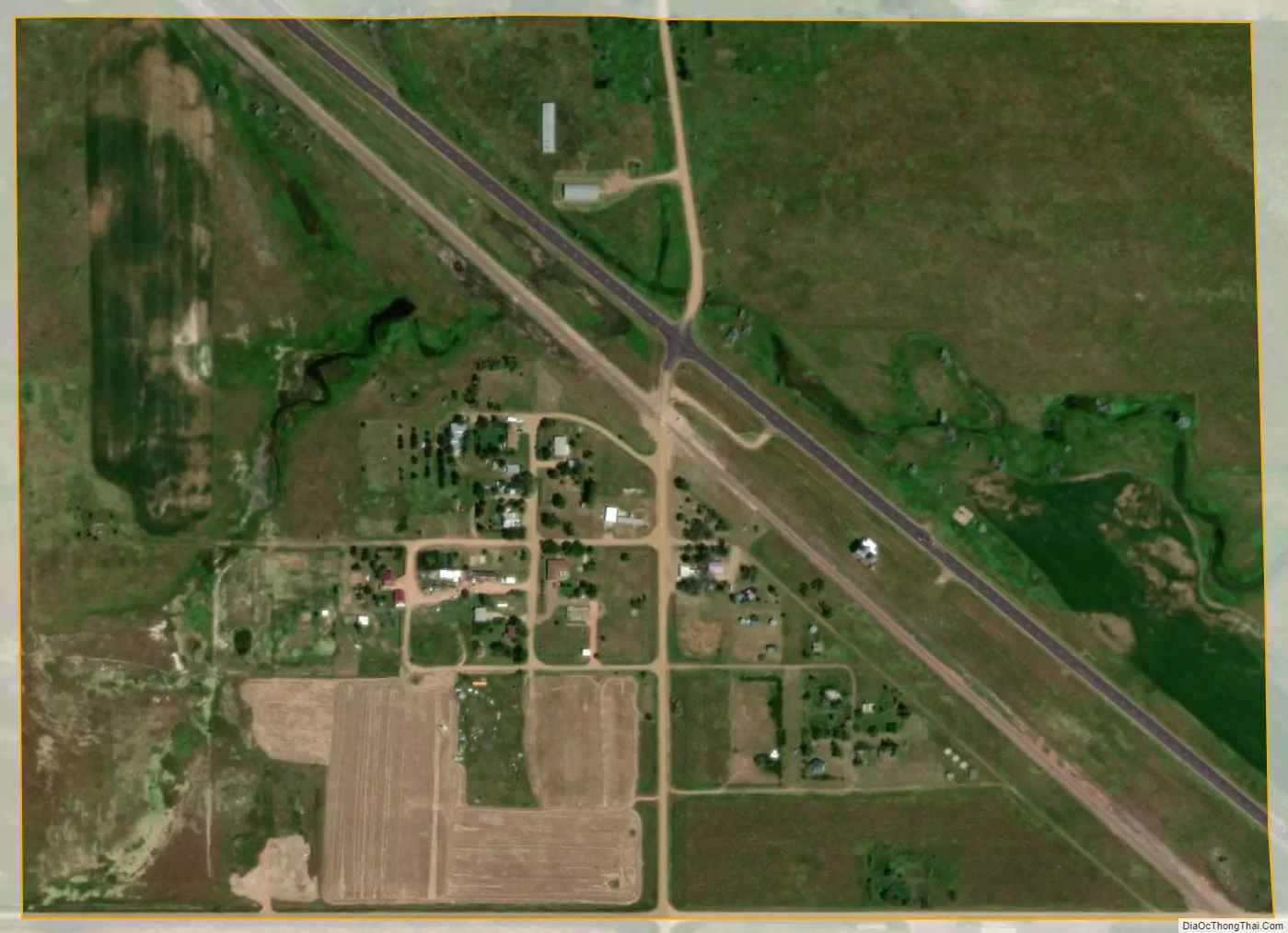
Bucyrus city Satellite Map
Geography
Bucyrus is located at 46°3′52″N 102°47′20″W / 46.06444°N 102.78889°W / 46.06444; -102.78889 (46.064452, -102.788761).
According to the United States Census Bureau, the city has a total area of 0.35 square miles (0.91 km), all land.
See also
Map of North Dakota State and its subdivision:- Adams
- Barnes
- Benson
- Billings
- Bottineau
- Bowman
- Burke
- Burleigh
- Cass
- Cavalier
- Dickey
- Divide
- Dunn
- Eddy
- Emmons
- Foster
- Golden Valley
- Grand Forks
- Grant
- Griggs
- Hettinger
- Kidder
- Lamoure
- Logan
- McHenry
- McIntosh
- McKenzie
- McLean
- Mercer
- Morton
- Mountrail
- Nelson
- Oliver
- Pembina
- Pierce
- Ramsey
- Ransom
- Renville
- Richland
- Rolette
- Sargent
- Sheridan
- Sioux
- Slope
- Stark
- Steele
- Stutsman
- Towner
- Traill
- Walsh
- Ward
- Wells
- Williams
- Alabama
- Alaska
- Arizona
- Arkansas
- California
- Colorado
- Connecticut
- Delaware
- District of Columbia
- Florida
- Georgia
- Hawaii
- Idaho
- Illinois
- Indiana
- Iowa
- Kansas
- Kentucky
- Louisiana
- Maine
- Maryland
- Massachusetts
- Michigan
- Minnesota
- Mississippi
- Missouri
- Montana
- Nebraska
- Nevada
- New Hampshire
- New Jersey
- New Mexico
- New York
- North Carolina
- North Dakota
- Ohio
- Oklahoma
- Oregon
- Pennsylvania
- Rhode Island
- South Carolina
- South Dakota
- Tennessee
- Texas
- Utah
- Vermont
- Virginia
- Washington
- West Virginia
- Wisconsin
- Wyoming