Christine is a city in Richland County, North Dakota, United States. The population was 151 at the 2020 census. Christine was founded in 1883. It is part of the Wahpeton, ND–MN Micropolitan Statistical Area.
| Name: | Christine city |
|---|---|
| LSAD Code: | 25 |
| LSAD Description: | city (suffix) |
| State: | North Dakota |
| County: | Richland County |
| Founded: | 1883 |
| Incorporated: | 1976 |
| Elevation: | 928 ft (283 m) |
| Total Area: | 0.20 sq mi (0.53 km²) |
| Land Area: | 0.20 sq mi (0.53 km²) |
| Water Area: | 0.00 sq mi (0.00 km²) |
| Total Population: | 151 |
| Population Density: | 740.20/sq mi (285.73/km²) |
| ZIP code: | 58015 |
| Area code: | 701 |
| FIPS code: | 3814100 |
| GNISfeature ID: | 1028370 |
Online Interactive Map
Click on ![]() to view map in "full screen" mode.
to view map in "full screen" mode.
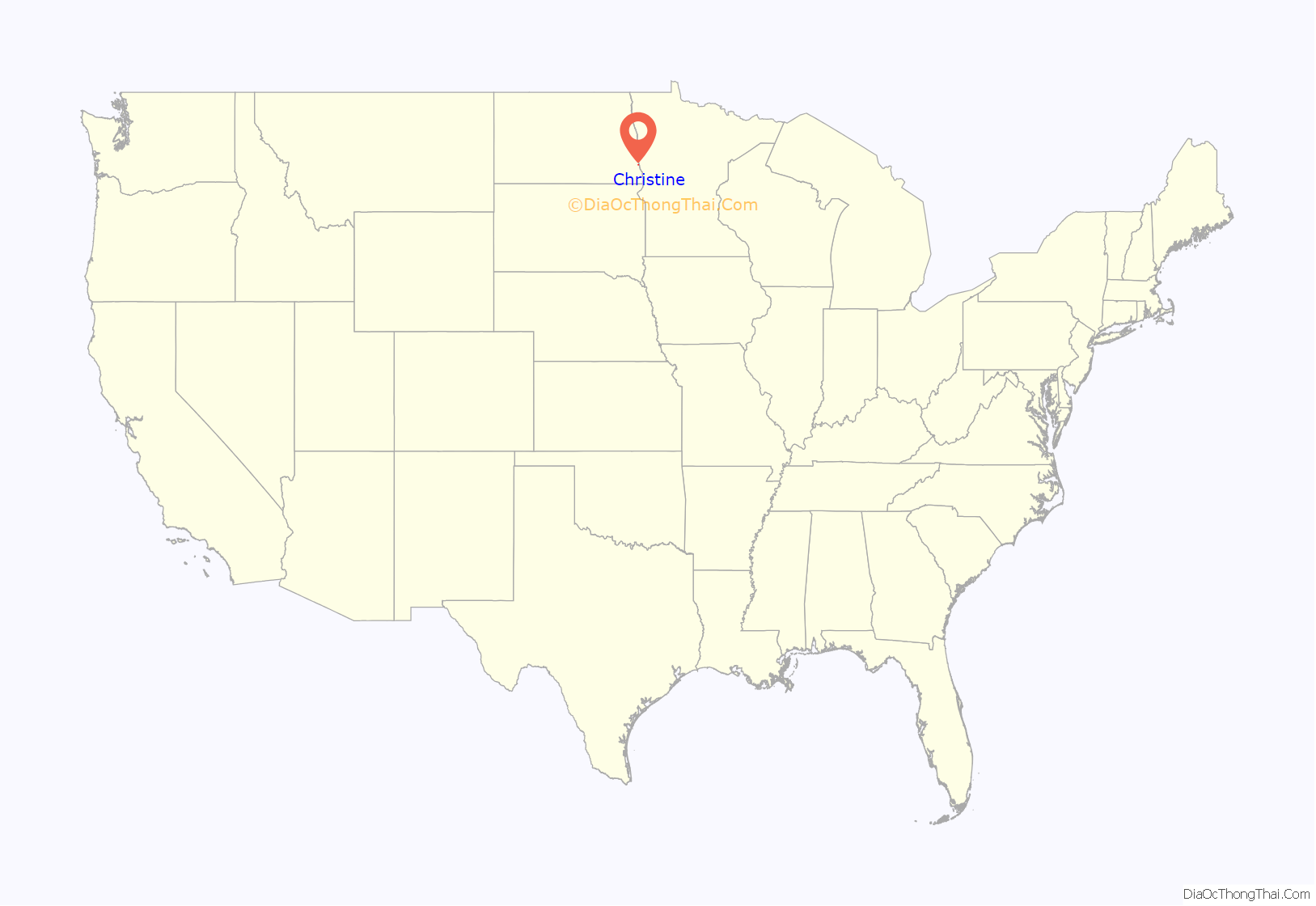
Christine location map. Where is Christine city?
History
Christine was founded in 1883 as a Scandinavian settlement along the Milwaukee Railroad in Eagle Township. A post office was established in 1884, and the railroad built a depot in 1886. There is some disagreement over how the town received its name, with most of the evidence suggesting it was named after Christina Nilsson, a well-known Swedish opera singer. Others, though, suggest one of the town’s early settlers, Knute Norby, wanted it named after him. The townspeople reportedly objected to his proposal, naming the town after his wife, Kristine.
The village was an unincorporated part of Eagle Township for much of its history, until it officially incorporated as a city in 1976.
Nelson’s Grocery is listed on the U.S. National Register of Historic Places, as is the town post office.
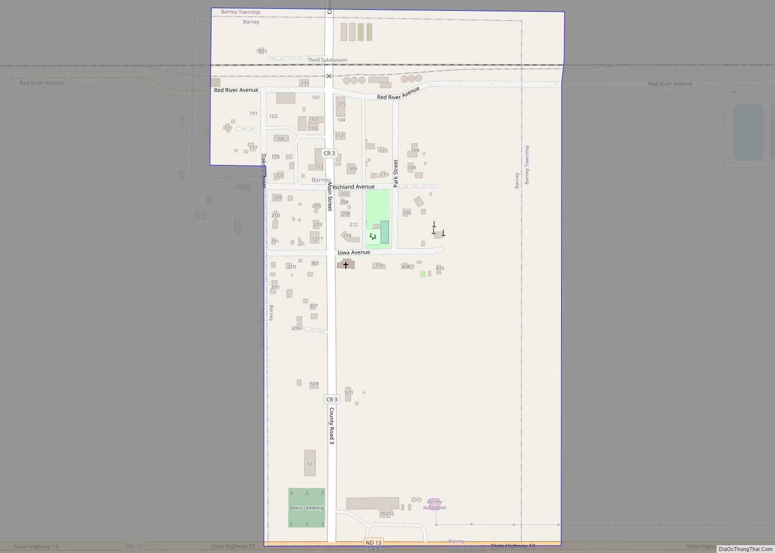
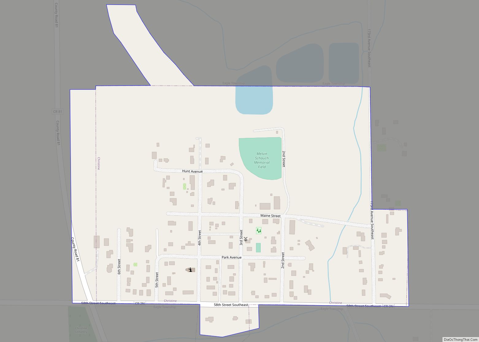
Christine Road Map
Christine city Satellite Map
Geography
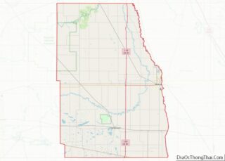
Christine is located in eastern Richland County, just off Interstate 29. Its location between the Red and Wild Rice Rivers places it within the Red River Valley. According to the United States Census Bureau, the city has a total area of 0.19 square miles (0.49 km), all land.
See also
Map of North Dakota State and its subdivision:- Adams
- Barnes
- Benson
- Billings
- Bottineau
- Bowman
- Burke
- Burleigh
- Cass
- Cavalier
- Dickey
- Divide
- Dunn
- Eddy
- Emmons
- Foster
- Golden Valley
- Grand Forks
- Grant
- Griggs
- Hettinger
- Kidder
- Lamoure
- Logan
- McHenry
- McIntosh
- McKenzie
- McLean
- Mercer
- Morton
- Mountrail
- Nelson
- Oliver
- Pembina
- Pierce
- Ramsey
- Ransom
- Renville
- Richland
- Rolette
- Sargent
- Sheridan
- Sioux
- Slope
- Stark
- Steele
- Stutsman
- Towner
- Traill
- Walsh
- Ward
- Wells
- Williams
- Alabama
- Alaska
- Arizona
- Arkansas
- California
- Colorado
- Connecticut
- Delaware
- District of Columbia
- Florida
- Georgia
- Hawaii
- Idaho
- Illinois
- Indiana
- Iowa
- Kansas
- Kentucky
- Louisiana
- Maine
- Maryland
- Massachusetts
- Michigan
- Minnesota
- Mississippi
- Missouri
- Montana
- Nebraska
- Nevada
- New Hampshire
- New Jersey
- New Mexico
- New York
- North Carolina
- North Dakota
- Ohio
- Oklahoma
- Oregon
- Pennsylvania
- Rhode Island
- South Carolina
- South Dakota
- Tennessee
- Texas
- Utah
- Vermont
- Virginia
- Washington
- West Virginia
- Wisconsin
- Wyoming
