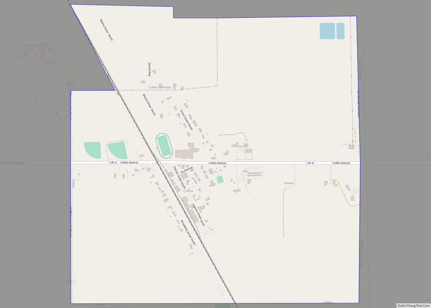
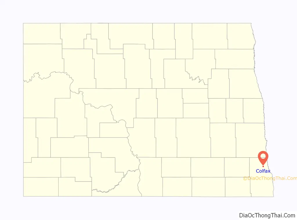
Colfax is a city in Richland County, North Dakota, United States. The population was 172 at the 2020 census. Colfax was founded in 1881. It is part of the Wahpeton, ND–MN Micropolitan Statistical Area. In the mid-1960s it billed itself as the “smallest town in the U.S. with a public swimming pool”.
| Name: | Colfax city |
|---|---|
| LSAD Code: | 25 |
| LSAD Description: | city (suffix) |
| State: | North Dakota |
| County: | Richland County |
| Founded: | 1881 |
| Elevation: | 961 ft (293 m) |
| Total Area: | 1.01 sq mi (2.62 km²) |
| Land Area: | 1.01 sq mi (2.62 km²) |
| Water Area: | 0.00 sq mi (0.00 km²) |
| Total Population: | 172 |
| Population Density: | 170.30/sq mi (65.76/km²) |
| ZIP code: | 58018 |
| Area code: | 701 |
| FIPS code: | 3815180 |
| GNISfeature ID: | 1028421 |
Online Interactive Map
Click on ![]() to view map in "full screen" mode.
to view map in "full screen" mode.
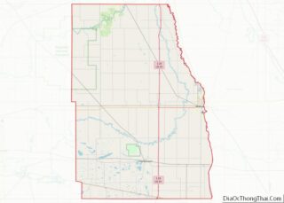
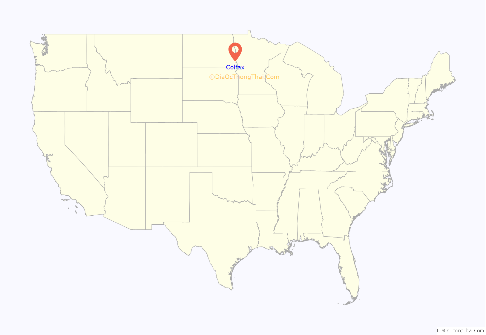
Colfax location map. Where is Colfax city?
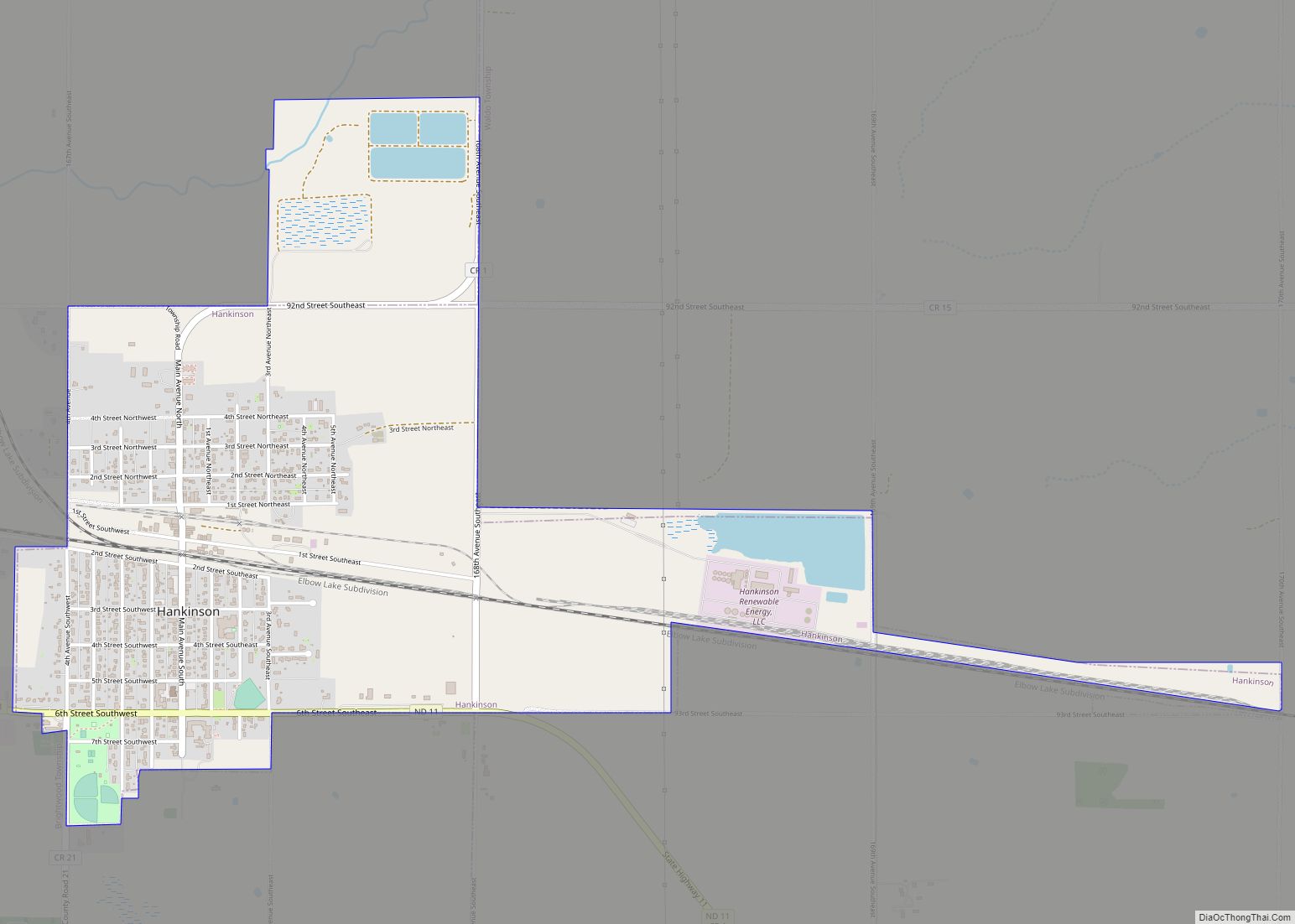
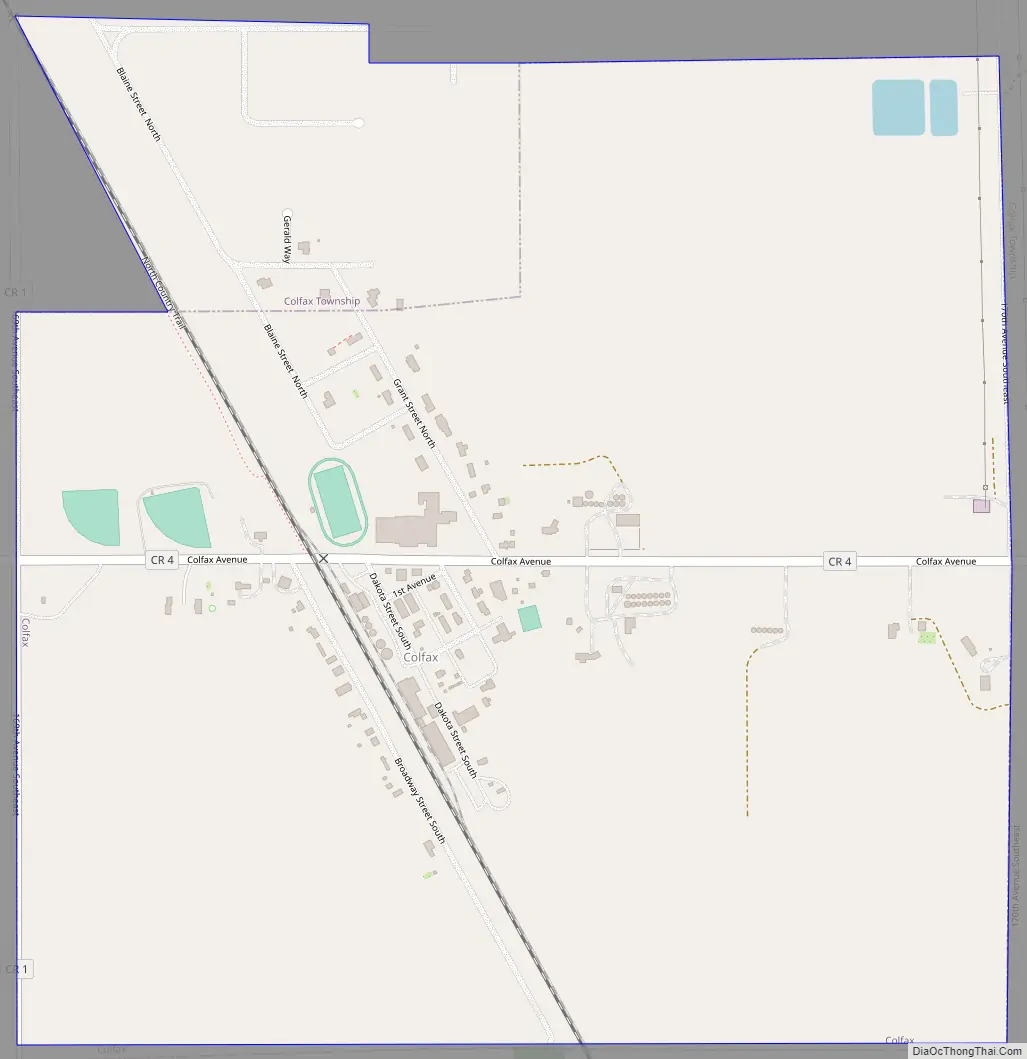
Colfax Road Map
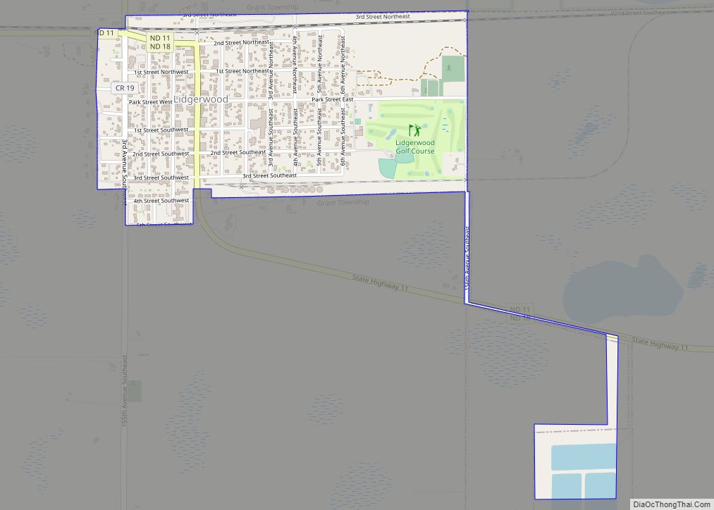
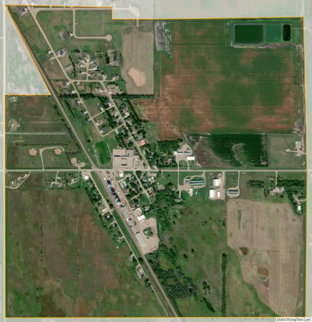
Colfax city Satellite Map
Geography
Colfax is located at 46°28′12″N 96°52′32″W / 46.47000°N 96.87556°W / 46.47000; -96.87556 (46.469999, -96.875426).
According to the United States Census Bureau, the city has a total area of 1.02 square miles (2.64 km), all land.
See also
Map of North Dakota State and its subdivision:- Adams
- Barnes
- Benson
- Billings
- Bottineau
- Bowman
- Burke
- Burleigh
- Cass
- Cavalier
- Dickey
- Divide
- Dunn
- Eddy
- Emmons
- Foster
- Golden Valley
- Grand Forks
- Grant
- Griggs
- Hettinger
- Kidder
- Lamoure
- Logan
- McHenry
- McIntosh
- McKenzie
- McLean
- Mercer
- Morton
- Mountrail
- Nelson
- Oliver
- Pembina
- Pierce
- Ramsey
- Ransom
- Renville
- Richland
- Rolette
- Sargent
- Sheridan
- Sioux
- Slope
- Stark
- Steele
- Stutsman
- Towner
- Traill
- Walsh
- Ward
- Wells
- Williams
- Alabama
- Alaska
- Arizona
- Arkansas
- California
- Colorado
- Connecticut
- Delaware
- District of Columbia
- Florida
- Georgia
- Hawaii
- Idaho
- Illinois
- Indiana
- Iowa
- Kansas
- Kentucky
- Louisiana
- Maine
- Maryland
- Massachusetts
- Michigan
- Minnesota
- Mississippi
- Missouri
- Montana
- Nebraska
- Nevada
- New Hampshire
- New Jersey
- New Mexico
- New York
- North Carolina
- North Dakota
- Ohio
- Oklahoma
- Oregon
- Pennsylvania
- Rhode Island
- South Carolina
- South Dakota
- Tennessee
- Texas
- Utah
- Vermont
- Virginia
- Washington
- West Virginia
- Wisconsin
- Wyoming