Conway is a city in Walsh County, North Dakota, United States. The population was 15 at the 2020 census. Conway was founded in 1885.
| Name: | Conway city |
|---|---|
| LSAD Code: | 25 |
| LSAD Description: | city (suffix) |
| State: | North Dakota |
| County: | Walsh County |
| Founded: | 1885 |
| Elevation: | 981 ft (299 m) |
| Total Area: | 0.21 sq mi (0.53 km²) |
| Land Area: | 0.21 sq mi (0.53 km²) |
| Water Area: | 0.00 sq mi (0.00 km²) |
| Total Population: | 15 |
| Population Density: | 72.82/sq mi (28.09/km²) |
| ZIP code: | 58233 |
| Area code: | 701 |
| FIPS code: | 3815820 |
| GNISfeature ID: | 1028443 |
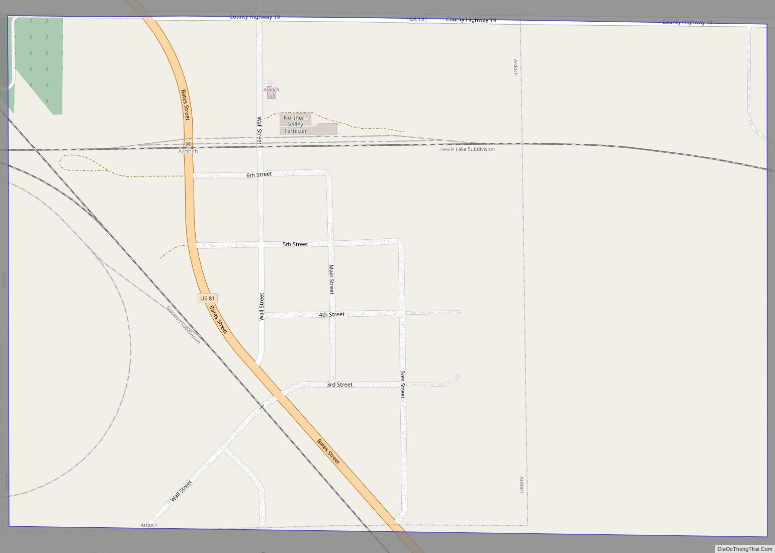
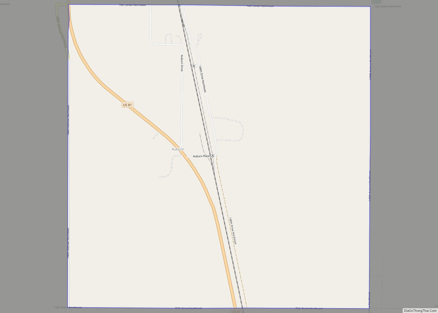
Online Interactive Map
Click on ![]() to view map in "full screen" mode.
to view map in "full screen" mode.
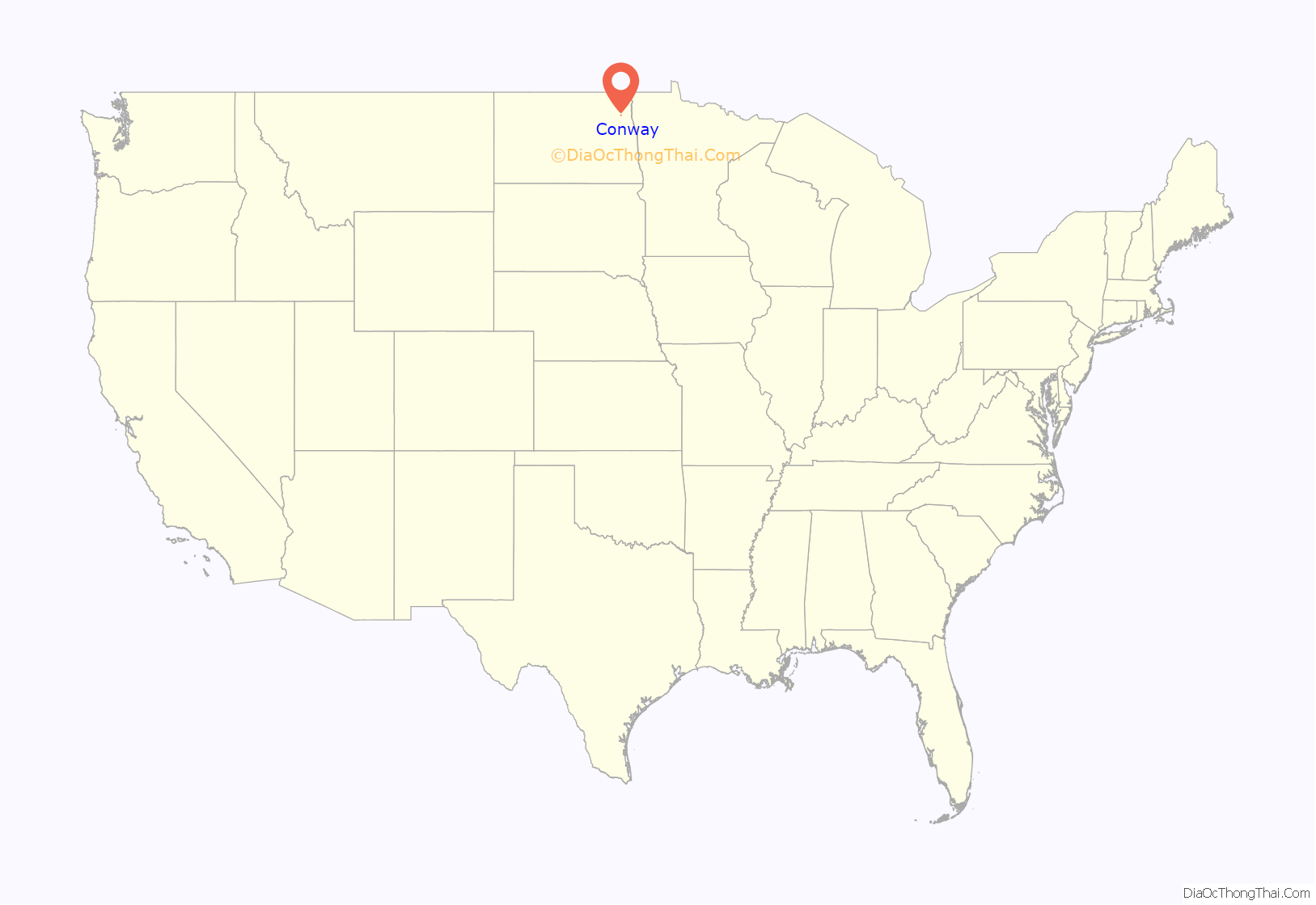
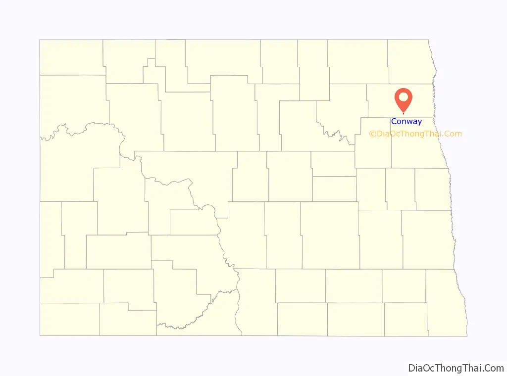
Conway location map. Where is Conway city?
History
The post office was established on January 12, 1885 and incorporated in 1895. The peak population was 228 in 1890. The other names it had were Eden and Kelner.
It was originally EDEN, a pioneer settlement founded in 1882 in the NE 1/4 sec. 23-155-55, Eden Twp. It failed to develop, but in 1884 a Great Northern Railroad Station was built there, and a farm post office called KELNER was established at the site. The following year, on January 12, 1885, it was renamed CONWAY when postmaster Norman Kelner adopted the new name. A farm post office named Conway, about two miles to the north, had operated for twenty-seven days in late 1884, and may have had some influence in the naming of the station. The village incorporated in 1895 and reached a peak population of 228 in 1890, with a decline to just 33 in 1980. The elevation is 993, and the Zip Code is 58232. Since October 27, 1961, the post office has been a rural branch of Fordville. Lloyd Bennett Omdahl, a former Tax Commissioner and ND Lt. Governor (1987) was born here in 1931. Kilner is an erroneous spelling.
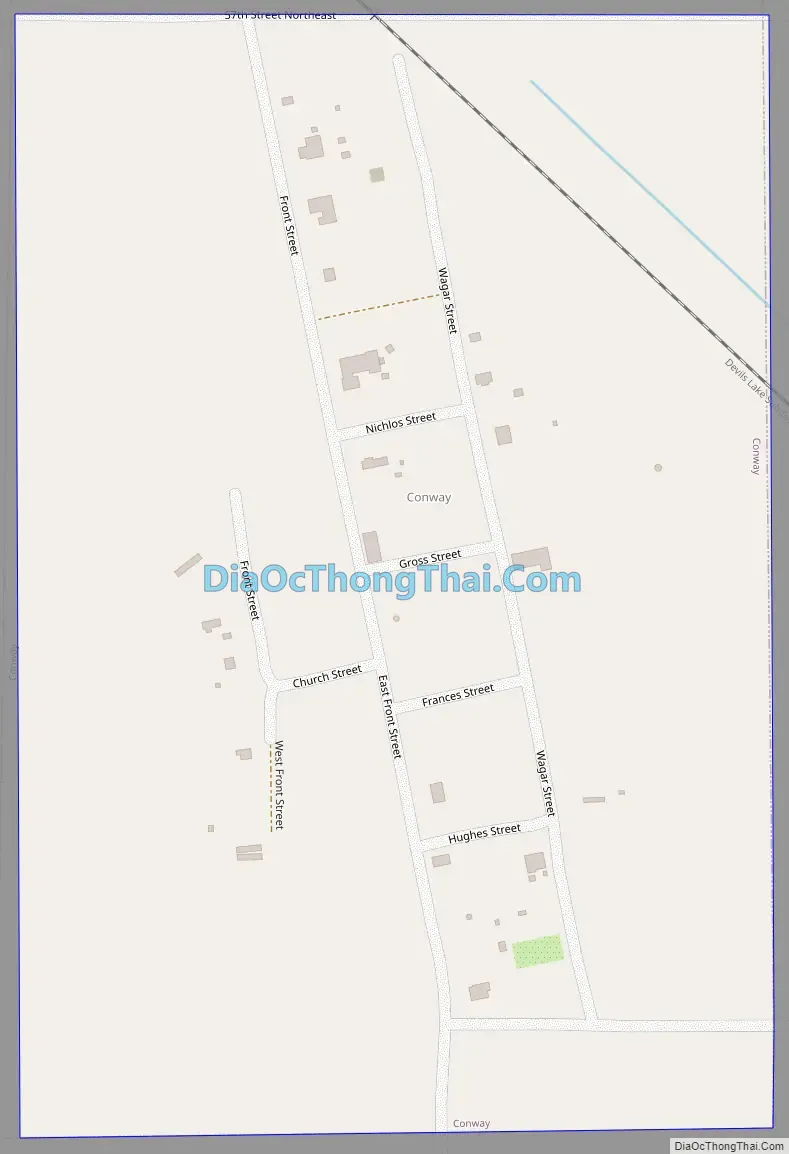
Conway Road Map
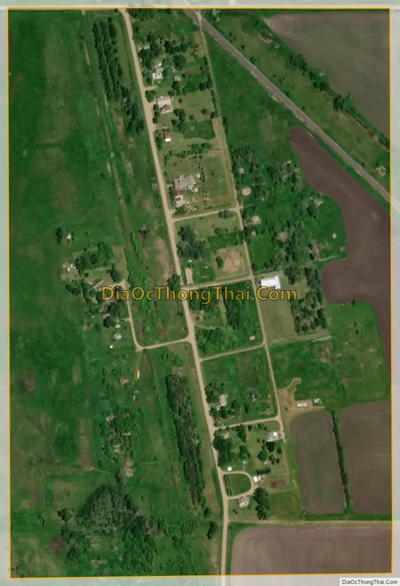
Conway city Satellite Map
Geography
Conway is located at 48°14′2″N 97°40′29″W / 48.23389°N 97.67472°W / 48.23389; -97.67472 (48.233996, -97.674728).
According to the United States Census Bureau, the city has a total area of 0.22 square miles (0.57 km), all land.
See also
Map of North Dakota State and its subdivision:- Adams
- Barnes
- Benson
- Billings
- Bottineau
- Bowman
- Burke
- Burleigh
- Cass
- Cavalier
- Dickey
- Divide
- Dunn
- Eddy
- Emmons
- Foster
- Golden Valley
- Grand Forks
- Grant
- Griggs
- Hettinger
- Kidder
- Lamoure
- Logan
- McHenry
- McIntosh
- McKenzie
- McLean
- Mercer
- Morton
- Mountrail
- Nelson
- Oliver
- Pembina
- Pierce
- Ramsey
- Ransom
- Renville
- Richland
- Rolette
- Sargent
- Sheridan
- Sioux
- Slope
- Stark
- Steele
- Stutsman
- Towner
- Traill
- Walsh
- Ward
- Wells
- Williams
- Alabama
- Alaska
- Arizona
- Arkansas
- California
- Colorado
- Connecticut
- Delaware
- District of Columbia
- Florida
- Georgia
- Hawaii
- Idaho
- Illinois
- Indiana
- Iowa
- Kansas
- Kentucky
- Louisiana
- Maine
- Maryland
- Massachusetts
- Michigan
- Minnesota
- Mississippi
- Missouri
- Montana
- Nebraska
- Nevada
- New Hampshire
- New Jersey
- New Mexico
- New York
- North Carolina
- North Dakota
- Ohio
- Oklahoma
- Oregon
- Pennsylvania
- Rhode Island
- South Carolina
- South Dakota
- Tennessee
- Texas
- Utah
- Vermont
- Virginia
- Washington
- West Virginia
- Wisconsin
- Wyoming