Elgin is a city in Grant County, North Dakota, United States. The population was 543 at the 2020 census.
| Name: | Elgin city |
|---|---|
| LSAD Code: | 25 |
| LSAD Description: | city (suffix) |
| State: | North Dakota |
| County: | Grant County |
| Founded: | 1910 |
| Elevation: | 2,356 ft (718 m) |
| Total Area: | 0.82 sq mi (2.13 km²) |
| Land Area: | 0.82 sq mi (2.13 km²) |
| Water Area: | 0.00 sq mi (0.00 km²) |
| Total Population: | 543 |
| Population Density: | 659.78/sq mi (254.89/km²) |
| ZIP code: | 58533 |
| Area code: | 701 |
| FIPS code: | 3823020 |
| GNISfeature ID: | 1028844 |
| Website: | elginnorthdakota.com |
Online Interactive Map
Click on ![]() to view map in "full screen" mode.
to view map in "full screen" mode.
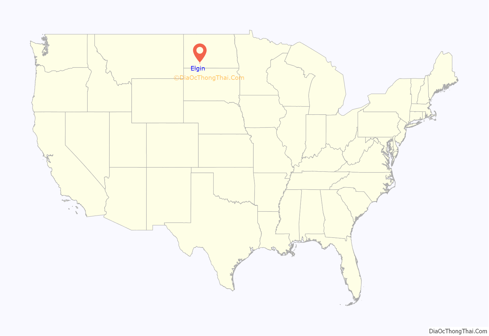
Elgin location map. Where is Elgin city?
History
Elgin was platted in 1910 when the railroad was extended to that point. The town was originally known as Shanley, but when the Northern Pacific Railroad came through town, they objected to the name as it was too similar to Stanley (the seat of Mountrail County), so the citizens were asked to choose a new name. At one point, one committee member checked the time on his Elgin pocket watch and suggested the brand name, which was found to be acceptable. A post office has been in operation at Elgin since 1910.
On July 4, 1978 an F4 tornado struck Elgin, causing five deaths and 35 injuries.
Elgin Road Map
Elgin city Satellite Map
Geography
Elgin is located at 46°24′13″N 101°50′41″W / 46.40361°N 101.84472°W / 46.40361; -101.84472 (46.403603, -101.844706). According to the United States Census Bureau, the city has a total area of 1.05 square miles (2.72 km), all land.
Climate
This climatic region is typified by large seasonal temperature differences, with warm to hot (and often humid) summers and cold (sometimes severely cold) winters. According to the Köppen Climate Classification system, Elgin has a humid continental climate, abbreviated “Dfb” on climate maps.
See also
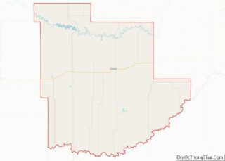
Map of North Dakota State and its subdivision:- Adams
- Barnes
- Benson
- Billings
- Bottineau
- Bowman
- Burke
- Burleigh
- Cass
- Cavalier
- Dickey
- Divide
- Dunn
- Eddy
- Emmons
- Foster
- Golden Valley
- Grand Forks
- Grant
- Griggs
- Hettinger
- Kidder
- Lamoure
- Logan
- McHenry
- McIntosh
- McKenzie
- McLean
- Mercer
- Morton
- Mountrail
- Nelson
- Oliver
- Pembina
- Pierce
- Ramsey
- Ransom
- Renville
- Richland
- Rolette
- Sargent
- Sheridan
- Sioux
- Slope
- Stark
- Steele
- Stutsman
- Towner
- Traill
- Walsh
- Ward
- Wells
- Williams
- Alabama
- Alaska
- Arizona
- Arkansas
- California
- Colorado
- Connecticut
- Delaware
- District of Columbia
- Florida
- Georgia
- Hawaii
- Idaho
- Illinois
- Indiana
- Iowa
- Kansas
- Kentucky
- Louisiana
- Maine
- Maryland
- Massachusetts
- Michigan
- Minnesota
- Mississippi
- Missouri
- Montana
- Nebraska
- Nevada
- New Hampshire
- New Jersey
- New Mexico
- New York
- North Carolina
- North Dakota
- Ohio
- Oklahoma
- Oregon
- Pennsylvania
- Rhode Island
- South Carolina
- South Dakota
- Tennessee
- Texas
- Utah
- Vermont
- Virginia
- Washington
- West Virginia
- Wisconsin
- Wyoming
