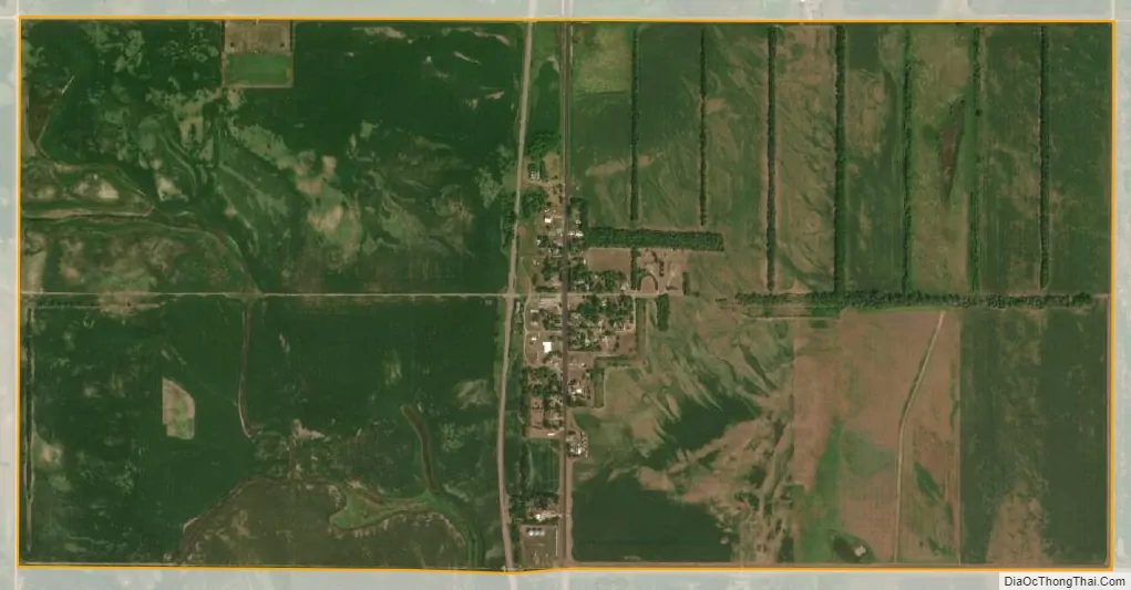
Erie is a census-designated place (CDP) in Cass County, North Dakota, United States. The population was 50 at the 2010 census. Established in or after 1980 by the United States Census Bureau, the CDP is named for the village of Erie, which is within its boundary. Although the rectangular boundary includes a sizeable amount of farmland, there is in fact only one residence outside the village’s boundary but within that of the CDP.
| Name: | Erie CDP |
|---|---|
| LSAD Code: | 57 |
| LSAD Description: | CDP (suffix) |
| State: | North Dakota |
| County: | Cass County |
| Total Area: | 2.00 sq mi (5.19 km²) |
| Land Area: | 2.00 sq mi (5.19 km²) |
| Water Area: | 0.00 sq mi (0.00 km²) |
| Total Population: | 54 |
| Population Density: | 26.93/sq mi (10.40/km²) |
| Area code: | 701 |
| FIPS code: | 3824620 |
Online Interactive Map
Click on ![]() to view map in "full screen" mode.
to view map in "full screen" mode.
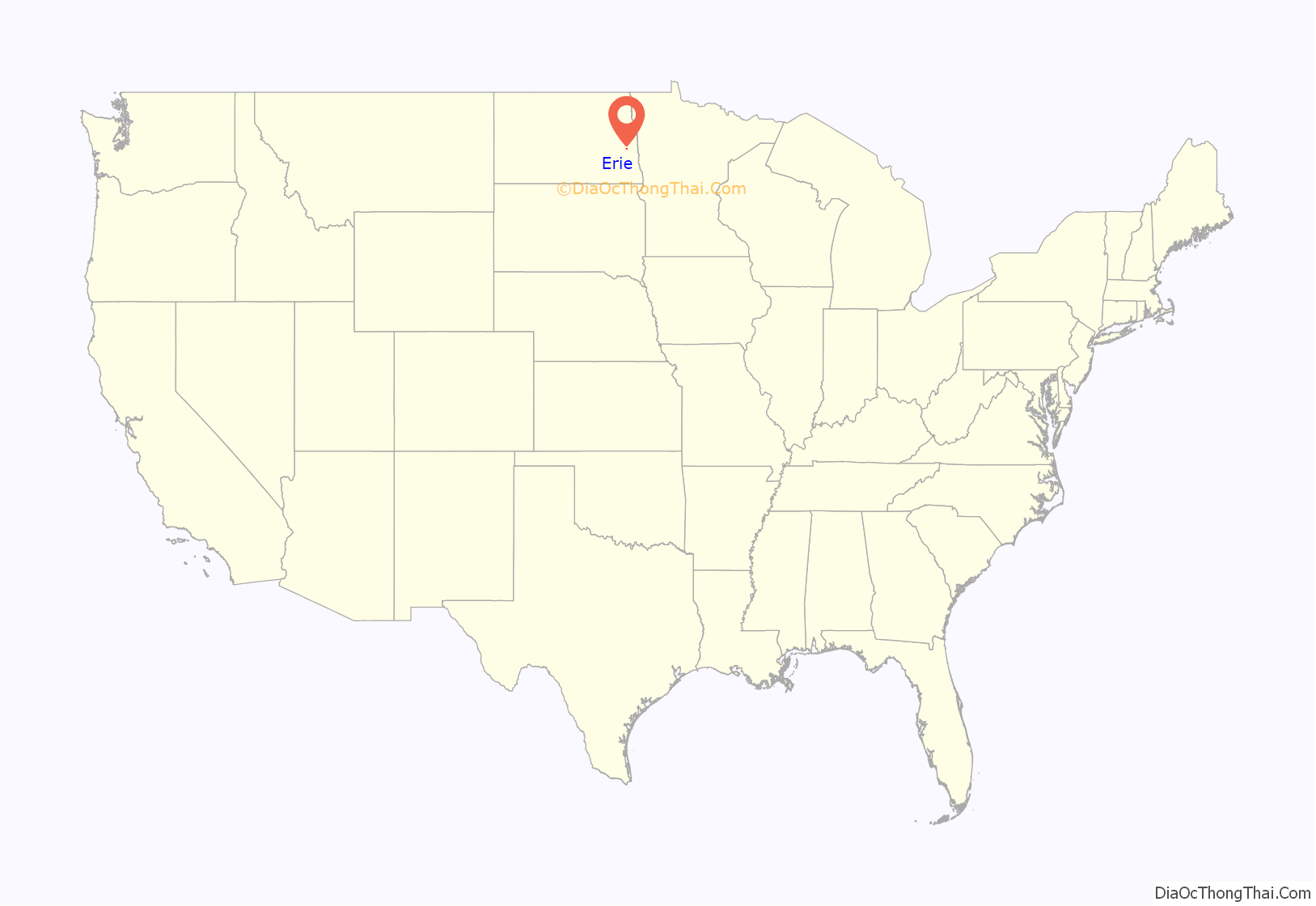
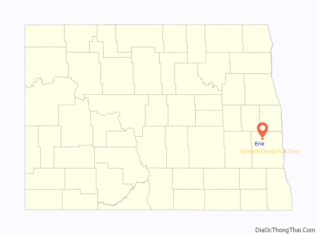
Erie location map. Where is Erie CDP?
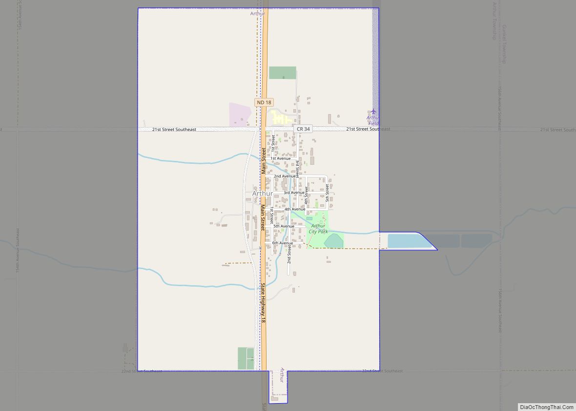
Erie Road Map
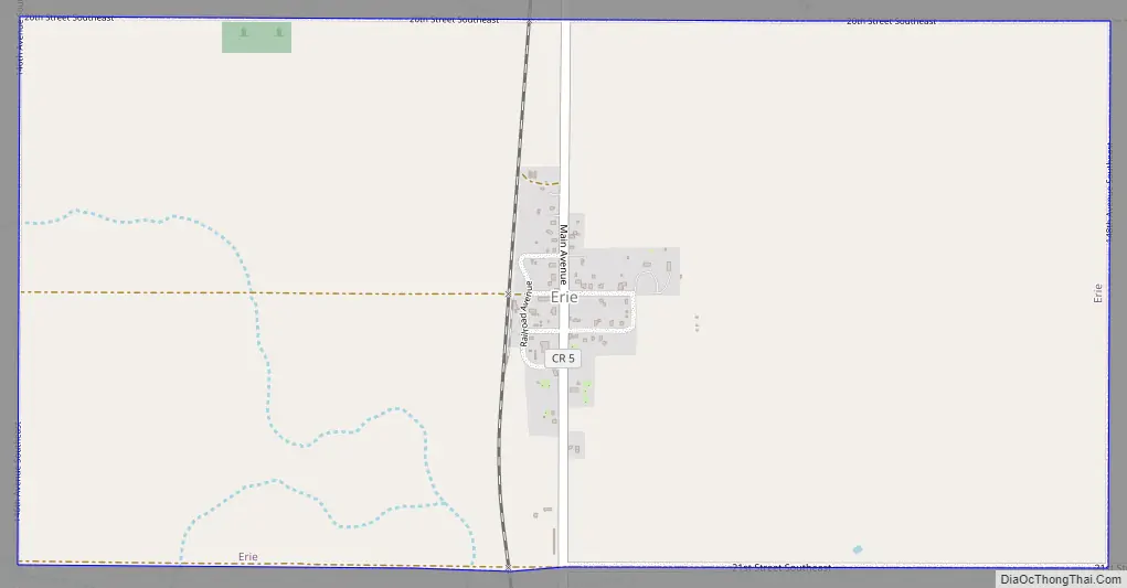
Erie city Satellite Map
Geography
Erie is located at 47°6′59″N 97°23′21″W / 47.11639°N 97.38917°W / 47.11639; -97.38917 (47.116299, -97.389088).
According to the United States Census Bureau, the CDP has a total area of 2.0 square miles (5.2 km), all land.
See also
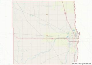
Map of North Dakota State and its subdivision:- Adams
- Barnes
- Benson
- Billings
- Bottineau
- Bowman
- Burke
- Burleigh
- Cass
- Cavalier
- Dickey
- Divide
- Dunn
- Eddy
- Emmons
- Foster
- Golden Valley
- Grand Forks
- Grant
- Griggs
- Hettinger
- Kidder
- Lamoure
- Logan
- McHenry
- McIntosh
- McKenzie
- McLean
- Mercer
- Morton
- Mountrail
- Nelson
- Oliver
- Pembina
- Pierce
- Ramsey
- Ransom
- Renville
- Richland
- Rolette
- Sargent
- Sheridan
- Sioux
- Slope
- Stark
- Steele
- Stutsman
- Towner
- Traill
- Walsh
- Ward
- Wells
- Williams
- Alabama
- Alaska
- Arizona
- Arkansas
- California
- Colorado
- Connecticut
- Delaware
- District of Columbia
- Florida
- Georgia
- Hawaii
- Idaho
- Illinois
- Indiana
- Iowa
- Kansas
- Kentucky
- Louisiana
- Maine
- Maryland
- Massachusetts
- Michigan
- Minnesota
- Mississippi
- Missouri
- Montana
- Nebraska
- Nevada
- New Hampshire
- New Jersey
- New Mexico
- New York
- North Carolina
- North Dakota
- Ohio
- Oklahoma
- Oregon
- Pennsylvania
- Rhode Island
- South Carolina
- South Dakota
- Tennessee
- Texas
- Utah
- Vermont
- Virginia
- Washington
- West Virginia
- Wisconsin
- Wyoming