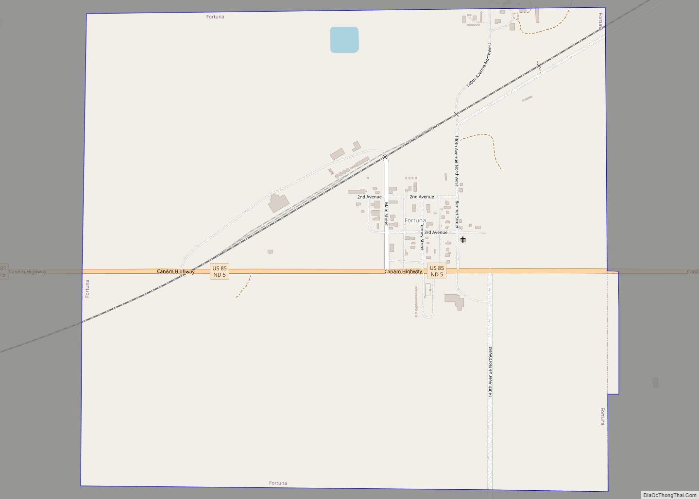
Fortuna is a city in Divide County, North Dakota, United States. The population was 30 at the 2020 census.
Fortuna was founded in 1913 along a Soo Line Railroad branch line running between Flaxton, North Dakota and Whitetail, Montana. The name comes from the Roman goddess of fortune and was chosen by railroad officials to note the settlers’ expectations of prosperity with the arrival of the railroad.
The city is located six miles from the Canada–US border and is the northernmost city on U.S. Route 85 before it crosses into Canada at Port of Oungre, Saskatchewan.
Fortuna has the latest sunset time several days after the summer solstice in the contiguous 48 states. The sun set at 10:03:10 PM Central Daylight Time (CDT) on June 24, 2016. This is due to Fortuna’s location at the far western edge of the Central Time Zone. Although other communities in the contiguous 48 states are located farther north, none of them are located as far west in their respective time zones. Fortuna’s westerly location in the time zone gives it the latest local time when the sun sets near the summer solstice.
| Name: | Fortuna city |
|---|---|
| LSAD Code: | 25 |
| LSAD Description: | city (suffix) |
| State: | North Dakota |
| County: | Divide County |
| Founded: | 1913 |
| Elevation: | 2,211 ft (674 m) |
| Total Area: | 1.02 sq mi (2.64 km²) |
| Land Area: | 1.00 sq mi (2.60 km²) |
| Water Area: | 0.01 sq mi (0.03 km²) |
| Total Population: | 30 |
| Population Density: | 29.85/sq mi (11.52/km²) |
| ZIP code: | 58844 |
| Area code: | 701 |
| FIPS code: | 3827820 |
| GNISfeature ID: | 1029028 |
Online Interactive Map
Click on ![]() to view map in "full screen" mode.
to view map in "full screen" mode.
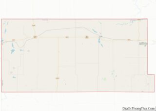
Fortuna location map. Where is Fortuna city?
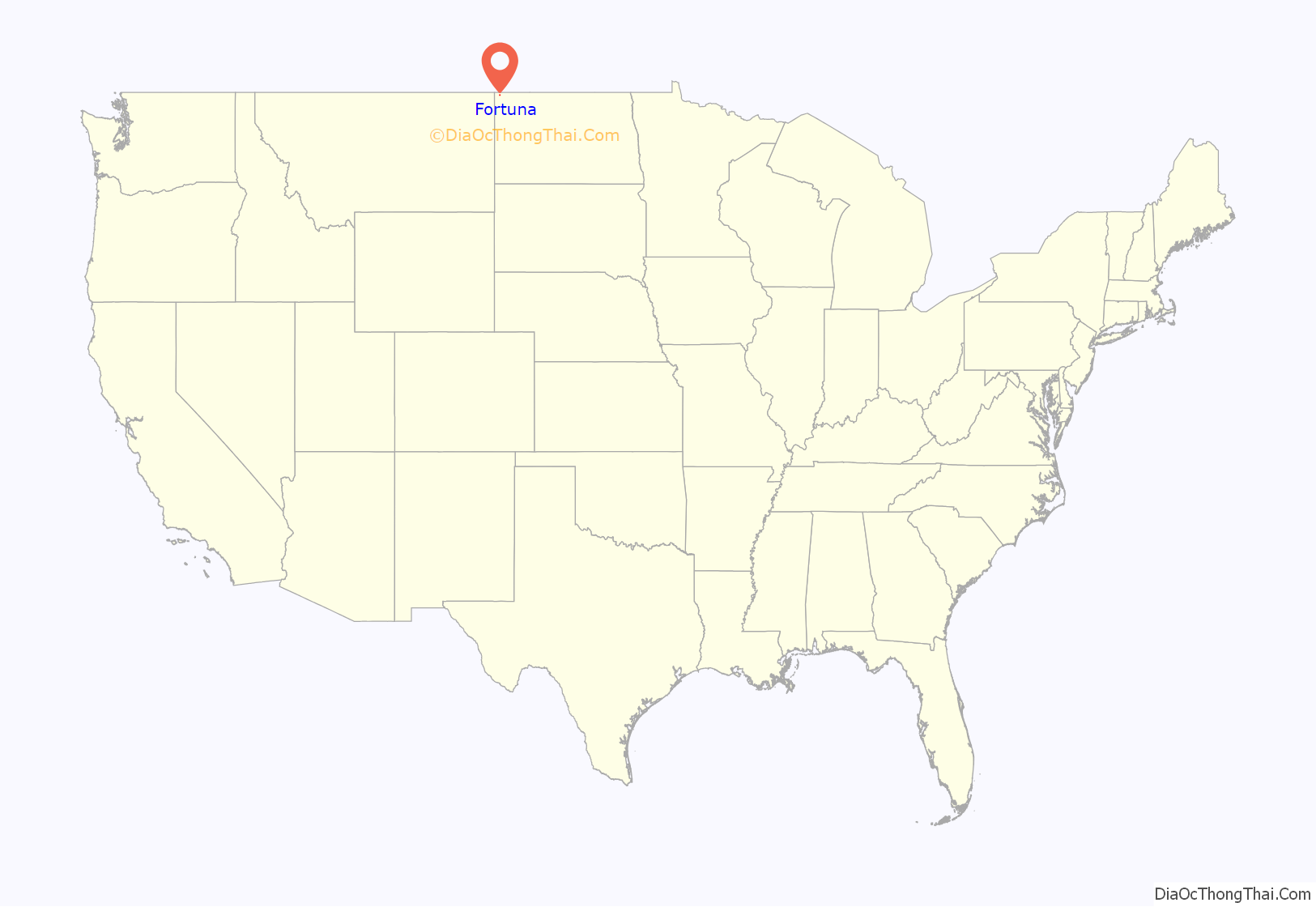
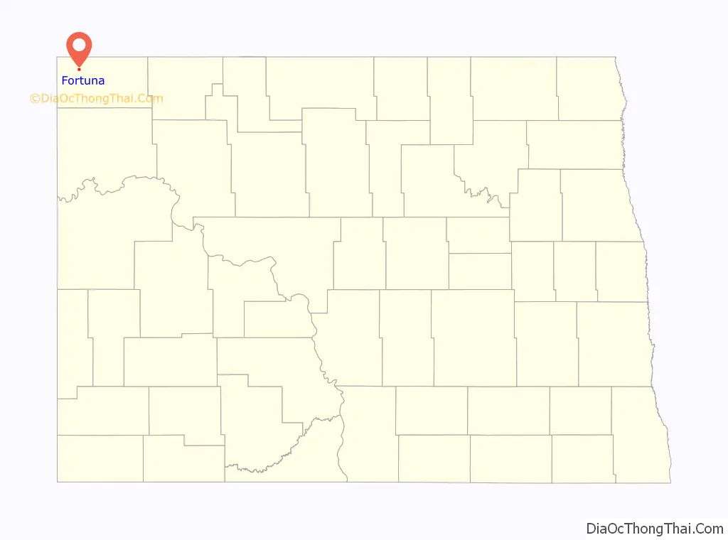
Fortuna Road Map
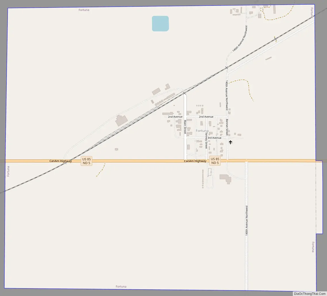
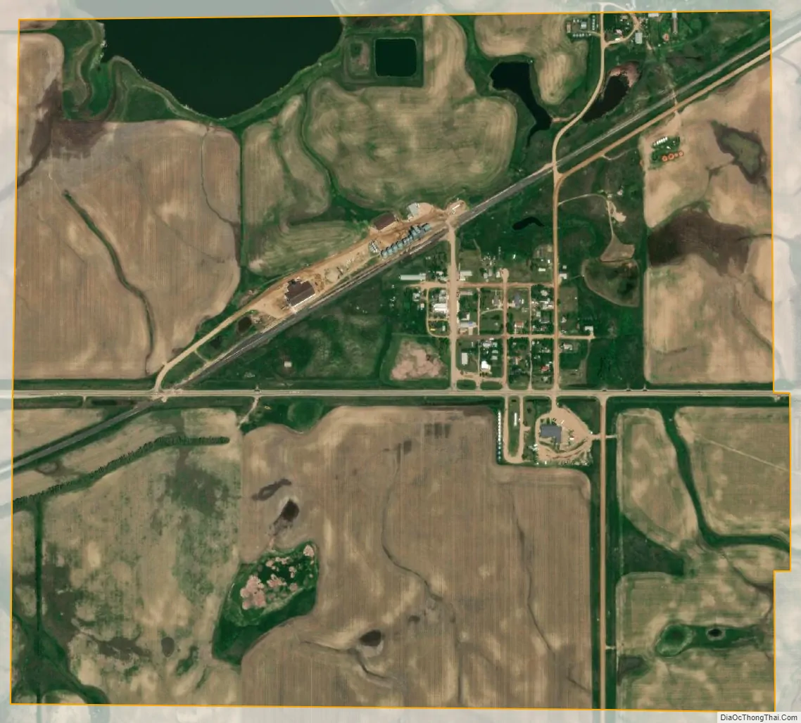
Fortuna city Satellite Map
Geography
Fortuna is located at 48°54′40″N 103°46′27″W / 48.911016°N 103.774263°W / 48.911016; -103.774263.
According to the United States Census Bureau, the city has a total area of 1.01 square miles (2.62 km), of which 1.00 square mile (2.59 km) is land and 0.01 square miles (0.03 km) is water.
See also
Map of North Dakota State and its subdivision:- Adams
- Barnes
- Benson
- Billings
- Bottineau
- Bowman
- Burke
- Burleigh
- Cass
- Cavalier
- Dickey
- Divide
- Dunn
- Eddy
- Emmons
- Foster
- Golden Valley
- Grand Forks
- Grant
- Griggs
- Hettinger
- Kidder
- Lamoure
- Logan
- McHenry
- McIntosh
- McKenzie
- McLean
- Mercer
- Morton
- Mountrail
- Nelson
- Oliver
- Pembina
- Pierce
- Ramsey
- Ransom
- Renville
- Richland
- Rolette
- Sargent
- Sheridan
- Sioux
- Slope
- Stark
- Steele
- Stutsman
- Towner
- Traill
- Walsh
- Ward
- Wells
- Williams
- Alabama
- Alaska
- Arizona
- Arkansas
- California
- Colorado
- Connecticut
- Delaware
- District of Columbia
- Florida
- Georgia
- Hawaii
- Idaho
- Illinois
- Indiana
- Iowa
- Kansas
- Kentucky
- Louisiana
- Maine
- Maryland
- Massachusetts
- Michigan
- Minnesota
- Mississippi
- Missouri
- Montana
- Nebraska
- Nevada
- New Hampshire
- New Jersey
- New Mexico
- New York
- North Carolina
- North Dakota
- Ohio
- Oklahoma
- Oregon
- Pennsylvania
- Rhode Island
- South Carolina
- South Dakota
- Tennessee
- Texas
- Utah
- Vermont
- Virginia
- Washington
- West Virginia
- Wisconsin
- Wyoming