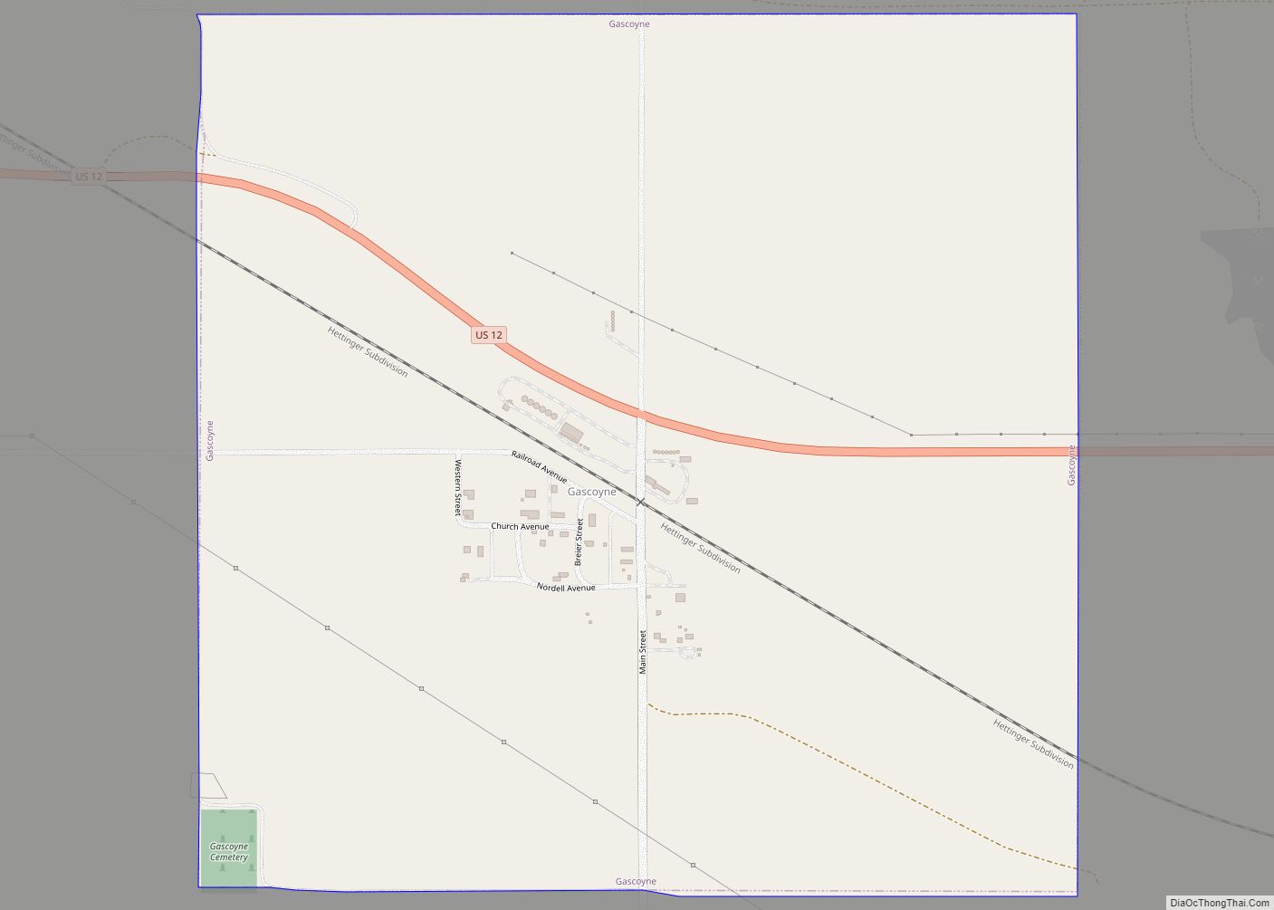
Gascoyne is a village in Bowman County, North Dakota, United States. The population was 21 at the 2020 census.
| Name: | Gascoyne city |
|---|---|
| LSAD Code: | 25 |
| LSAD Description: | city (suffix) |
| State: | North Dakota |
| County: | Bowman County |
| Founded: | 1907 |
| Elevation: | 2,762 ft (842 m) |
| Total Area: | 1.00 sq mi (2.59 km²) |
| Land Area: | 1.00 sq mi (2.59 km²) |
| Water Area: | 0.00 sq mi (0.00 km²) |
| Total Population: | 21 |
| Population Density: | 21.02/sq mi (8.12/km²) |
| ZIP code: | 58653 |
| Area code: | 701 |
| FIPS code: | 3829540 |
| GNISfeature ID: | 1029089 |
Online Interactive Map
Click on ![]() to view map in "full screen" mode.
to view map in "full screen" mode.
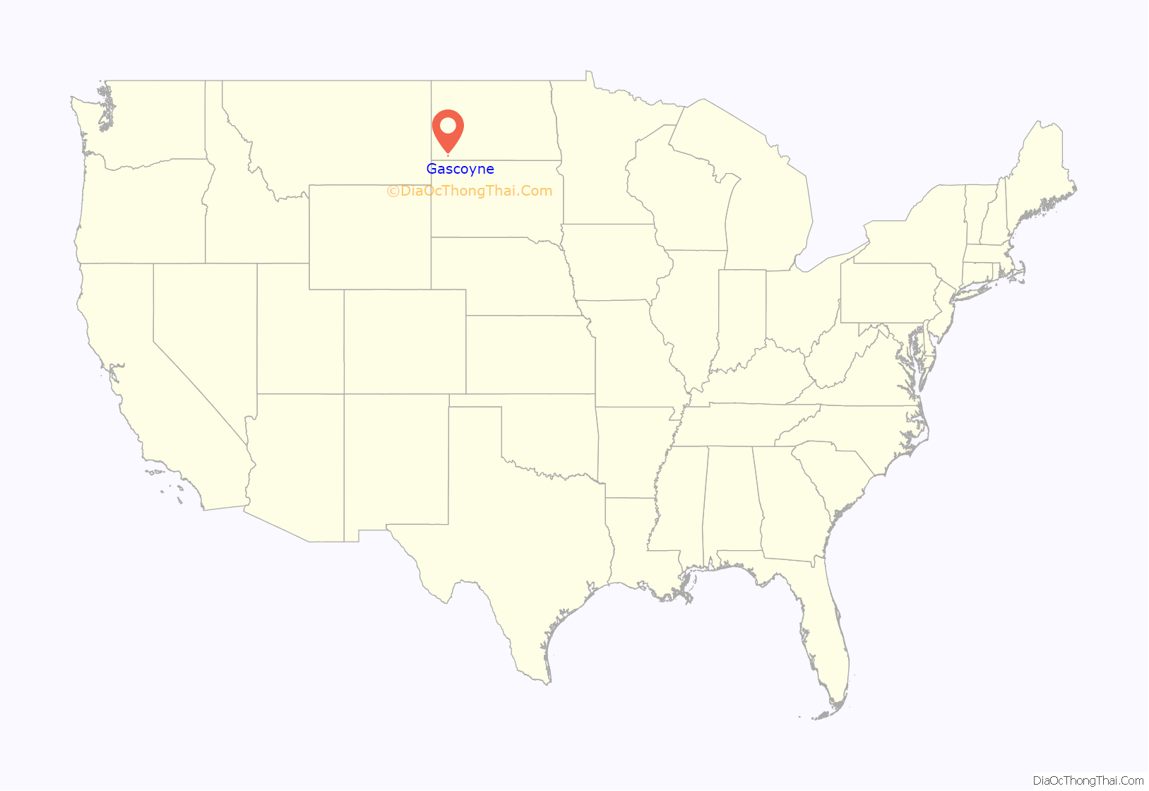
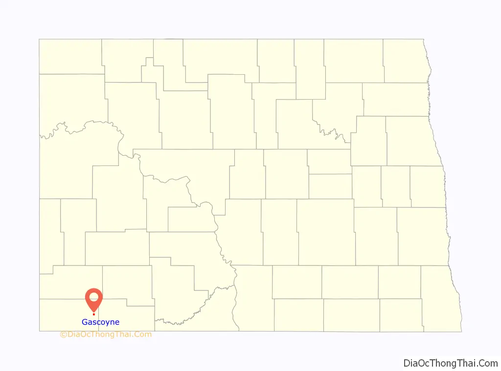
Gascoyne location map. Where is Gascoyne city?
History
The city was founded in 1907 and known originally as Fischbein before the name was changed to Gascoyne on March 25, 1908. The new name came from a construction foreman on the Milwaukee Road transcontinental rail line that was built through the city, though an alternate explanation suggests that the name refers to the large deposits of natural gas found in the area.
Reserves of lignite coal are also found in the area, and Gascoyne was the site of a coal mine for much of the 20th century. The most active period for the mine occurred between 1975 and 1995, when about 2.5 million tons of lignite were produced per year, primarily for the Big Stone Power Plant near Big Stone City, South Dakota. The mine began ceasing production in 1995, and was shut down completely in 1997. In 2001, Westmoreland Coal Company purchased the mine with an intent to resume mining and construct a 500 megawatt power plant on site. These plans were later suspended in 2008 due to environmental concerns.
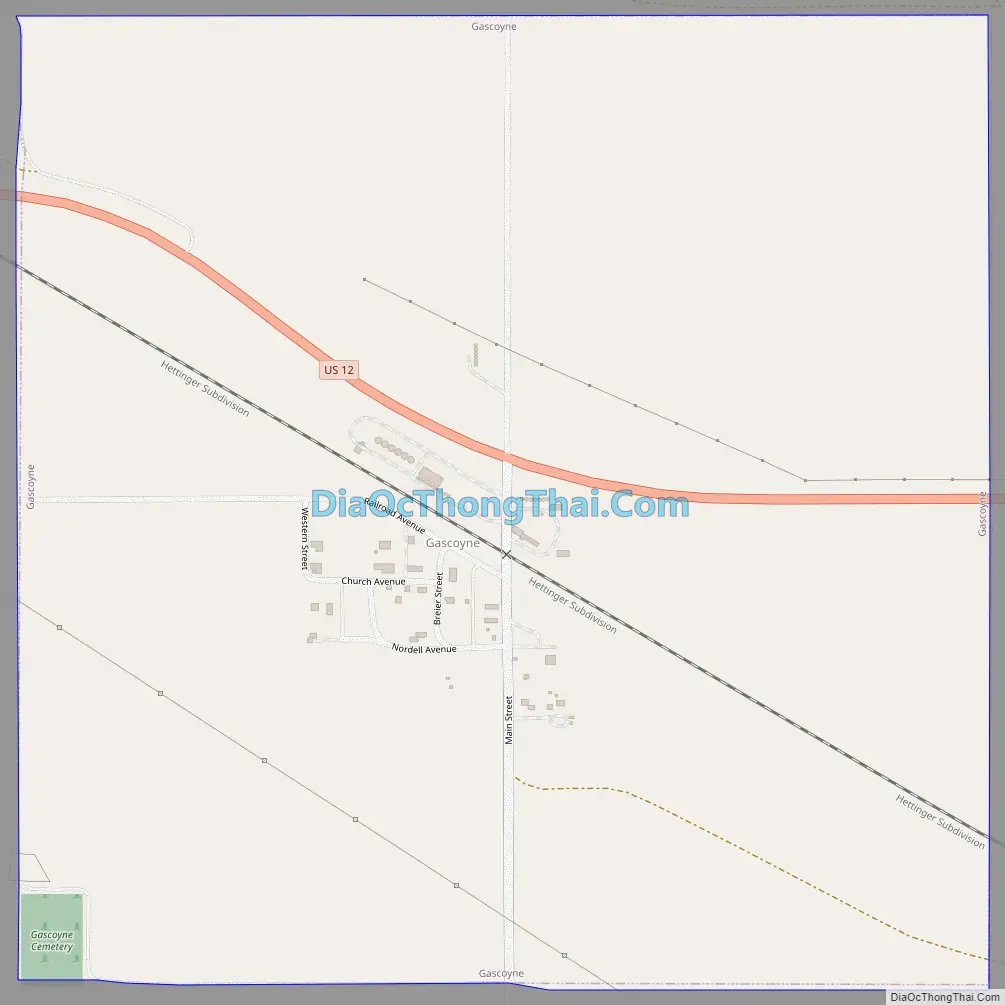
Gascoyne Road Map
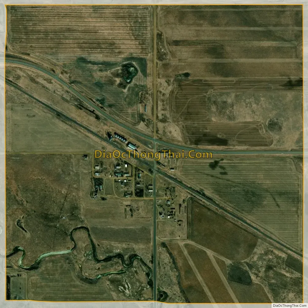
Gascoyne city Satellite Map
Geography
Gascoyne is located at 46°7′6″N 103°4′52″W / 46.11833°N 103.08111°W / 46.11833; -103.08111 (46.118380, -103.081202).
According to the United States Census Bureau, the city has a total area of 1.00 square mile (2.59 km), all land.
See also
Map of North Dakota State and its subdivision:- Adams
- Barnes
- Benson
- Billings
- Bottineau
- Bowman
- Burke
- Burleigh
- Cass
- Cavalier
- Dickey
- Divide
- Dunn
- Eddy
- Emmons
- Foster
- Golden Valley
- Grand Forks
- Grant
- Griggs
- Hettinger
- Kidder
- Lamoure
- Logan
- McHenry
- McIntosh
- McKenzie
- McLean
- Mercer
- Morton
- Mountrail
- Nelson
- Oliver
- Pembina
- Pierce
- Ramsey
- Ransom
- Renville
- Richland
- Rolette
- Sargent
- Sheridan
- Sioux
- Slope
- Stark
- Steele
- Stutsman
- Towner
- Traill
- Walsh
- Ward
- Wells
- Williams
- Alabama
- Alaska
- Arizona
- Arkansas
- California
- Colorado
- Connecticut
- Delaware
- District of Columbia
- Florida
- Georgia
- Hawaii
- Idaho
- Illinois
- Indiana
- Iowa
- Kansas
- Kentucky
- Louisiana
- Maine
- Maryland
- Massachusetts
- Michigan
- Minnesota
- Mississippi
- Missouri
- Montana
- Nebraska
- Nevada
- New Hampshire
- New Jersey
- New Mexico
- New York
- North Carolina
- North Dakota
- Ohio
- Oklahoma
- Oregon
- Pennsylvania
- Rhode Island
- South Carolina
- South Dakota
- Tennessee
- Texas
- Utah
- Vermont
- Virginia
- Washington
- West Virginia
- Wisconsin
- Wyoming