Gladstone is a city in Stark County, North Dakota, United States. The population was 271 at the 2020 census. It is part of the Dickinson Micropolitan Statistical Area.
| Name: | Gladstone city |
|---|---|
| LSAD Code: | 25 |
| LSAD Description: | city (suffix) |
| State: | North Dakota |
| County: | Stark County |
| Elevation: | 2,349 ft (716 m) |
| Total Area: | 0.37 sq mi (0.97 km²) |
| Land Area: | 0.36 sq mi (0.94 km²) |
| Water Area: | 0.01 sq mi (0.02 km²) |
| Total Population: | 271 |
| Population Density: | 746.56/sq mi (287.96/km²) |
| ZIP code: | 58630 |
| Area code: | 701 |
| FIPS code: | 3830460 |
| GNISfeature ID: | 1029130 |
Online Interactive Map
Click on ![]() to view map in "full screen" mode.
to view map in "full screen" mode.
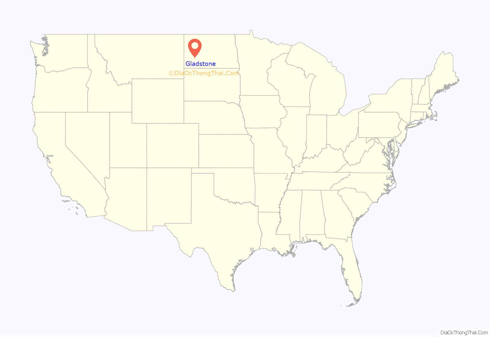
Gladstone location map. Where is Gladstone city?
History
Gladstone was laid out in 1882, and was originally built up by a group of settlers from Ripon, Wisconsin. The group’s founder James Gray Campbell was joined by about 150 pioneers who included Mrs. Ira Lawrence, May (Lawrence) Sorber, Russell Lawrence (born 1882 at Gladstone), Alice Campbell Lytle (born 1882 at Gladstone), Mrs. Birdsall, Mrs. Clarence E. Eldred, Mrs. Charles Kono, Estelle Cryne Hagburg, Orrissa Cryne Elwell, Mrs. G.S. Cryne and G.S. Cryne. The city was named for British Prime Minister William Ewart Gladstone. Settlers made use of available resources including underground coal, clay for brick building, and agate sand deposits, in demand by the railroad companies, and raised high grade horses.
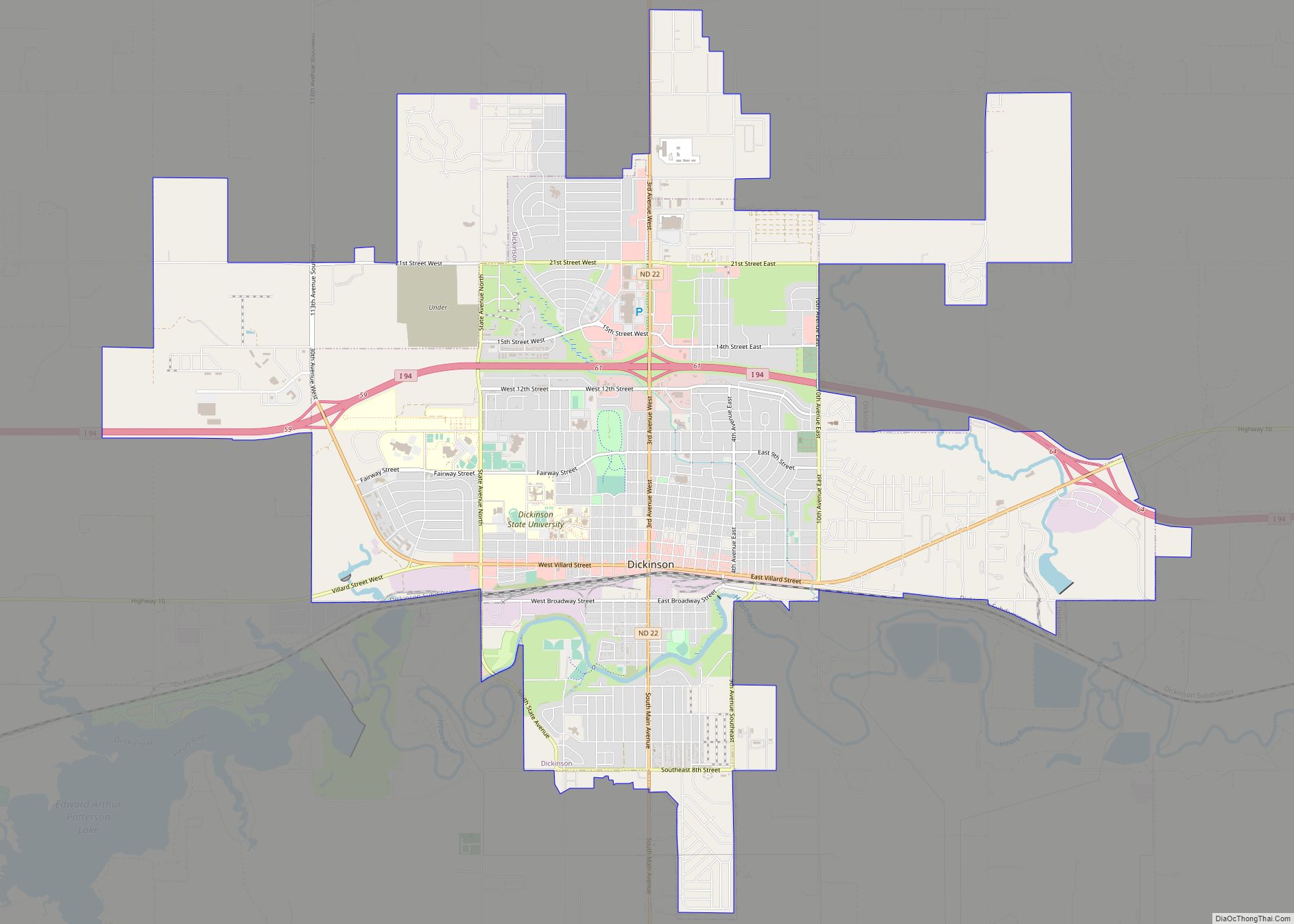
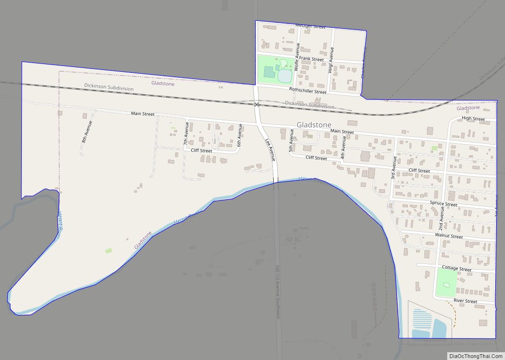
Gladstone Road Map
Gladstone city Satellite Map
Geography
Gladstone is located at 46°51′35″N 102°33′56″W / 46.85972°N 102.56556°W / 46.85972; -102.56556 (46.859737, -102.565592).
According to the United States Census Bureau, the city has a total area of 0.35 square miles (0.91 km), of which 0.34 square miles (0.88 km) is land and 0.01 square miles (0.03 km) is water.
See also
Map of North Dakota State and its subdivision:- Adams
- Barnes
- Benson
- Billings
- Bottineau
- Bowman
- Burke
- Burleigh
- Cass
- Cavalier
- Dickey
- Divide
- Dunn
- Eddy
- Emmons
- Foster
- Golden Valley
- Grand Forks
- Grant
- Griggs
- Hettinger
- Kidder
- Lamoure
- Logan
- McHenry
- McIntosh
- McKenzie
- McLean
- Mercer
- Morton
- Mountrail
- Nelson
- Oliver
- Pembina
- Pierce
- Ramsey
- Ransom
- Renville
- Richland
- Rolette
- Sargent
- Sheridan
- Sioux
- Slope
- Stark
- Steele
- Stutsman
- Towner
- Traill
- Walsh
- Ward
- Wells
- Williams
- Alabama
- Alaska
- Arizona
- Arkansas
- California
- Colorado
- Connecticut
- Delaware
- District of Columbia
- Florida
- Georgia
- Hawaii
- Idaho
- Illinois
- Indiana
- Iowa
- Kansas
- Kentucky
- Louisiana
- Maine
- Maryland
- Massachusetts
- Michigan
- Minnesota
- Mississippi
- Missouri
- Montana
- Nebraska
- Nevada
- New Hampshire
- New Jersey
- New Mexico
- New York
- North Carolina
- North Dakota
- Ohio
- Oklahoma
- Oregon
- Pennsylvania
- Rhode Island
- South Carolina
- South Dakota
- Tennessee
- Texas
- Utah
- Vermont
- Virginia
- Washington
- West Virginia
- Wisconsin
- Wyoming
