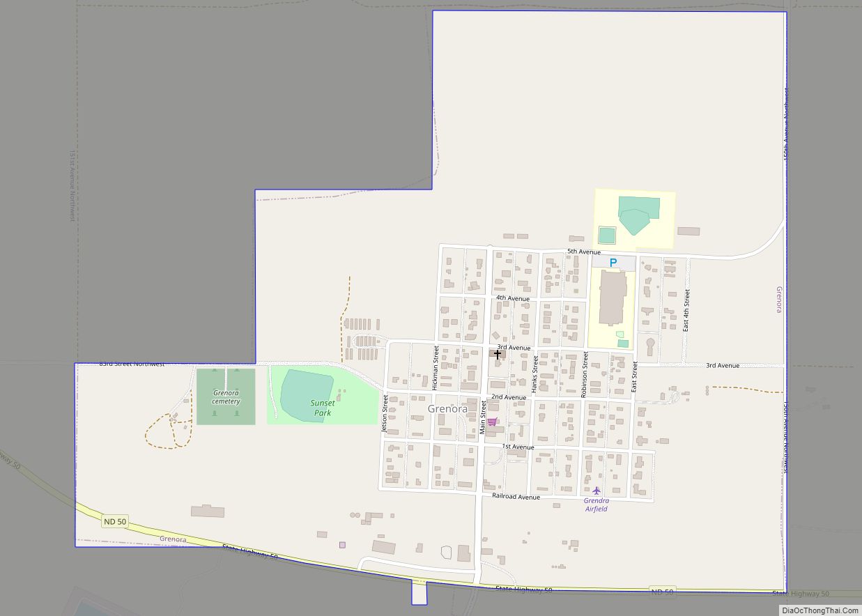
Grenora is a city in Williams County, North Dakota, United States. The population was 221 at the 2020 census.
Grenora was founded in July 1916 at the terminus of a Great Northern Railway branch line that began in Stanley. The name is a portmanteau of letters in the railway’s name: GREat NOrthern RAilway. The tracks were in place until 2002, when Great Northern successor BNSF Railway filed for abandonment.
The city’s motto is, “Friendliness lives here – you’re only a stranger once.” The city is home to a senior citizen’s center, credit union, gas station, grain elevator, restaurant, bar which has famous cheeseburgers statewide, apartment buildings, and community built low-income housing. There are also two churches: the St. Olaf Lutheran Church (ELCA) and St. Boniface Catholic Church.
| Name: | Grenora city |
|---|---|
| LSAD Code: | 25 |
| LSAD Description: | city (suffix) |
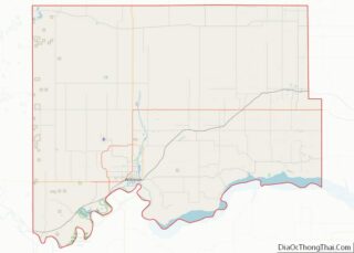
| State: | North Dakota |
| County: | Williams County |
| Founded: | July 1916 |
| Elevation: | 2,123 ft (647 m) |
| Total Area: | 0.61 sq mi (1.57 km²) |
| Land Area: | 0.61 sq mi (1.57 km²) |
| Water Area: | 0.00 sq mi (0.00 km²) |
| Total Population: | 221 |
| Population Density: | 363.49/sq mi (140.44/km²) |
| ZIP code: | 58845 |
| Area code: | 701 |
| FIPS code: | 3833500 |
| GNISfeature ID: | 1029242 |
| Website: | cityofgrenora.com |
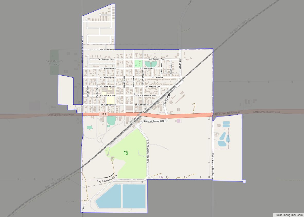
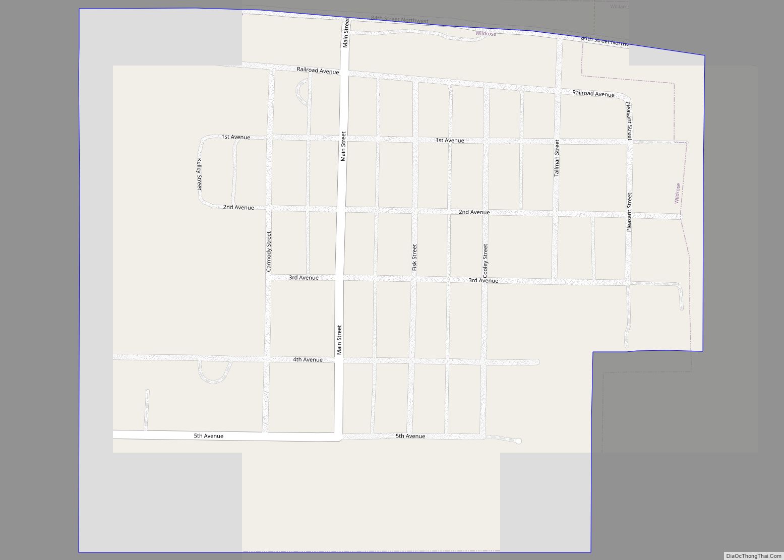
Online Interactive Map
Click on ![]() to view map in "full screen" mode.
to view map in "full screen" mode.
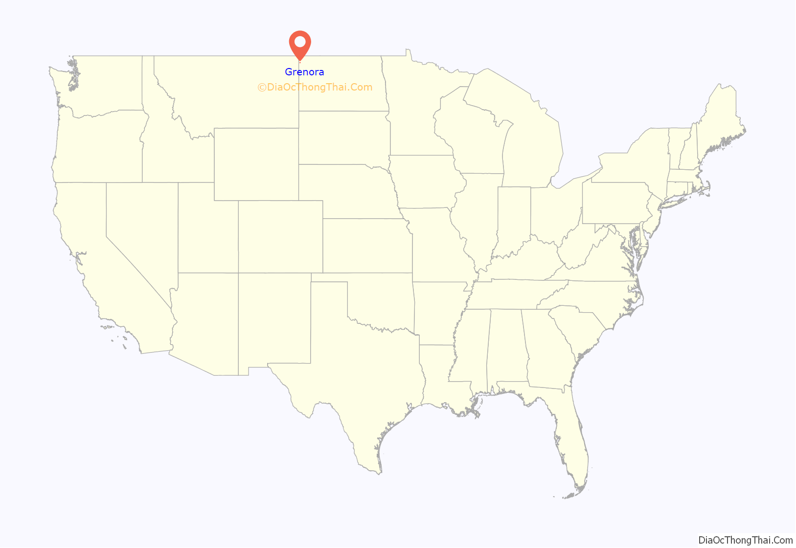
Grenora location map. Where is Grenora city?
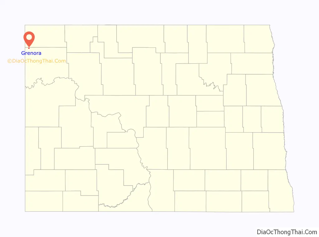
Grenora Road Map
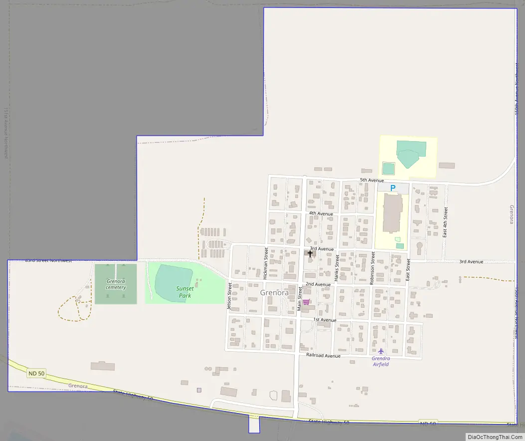
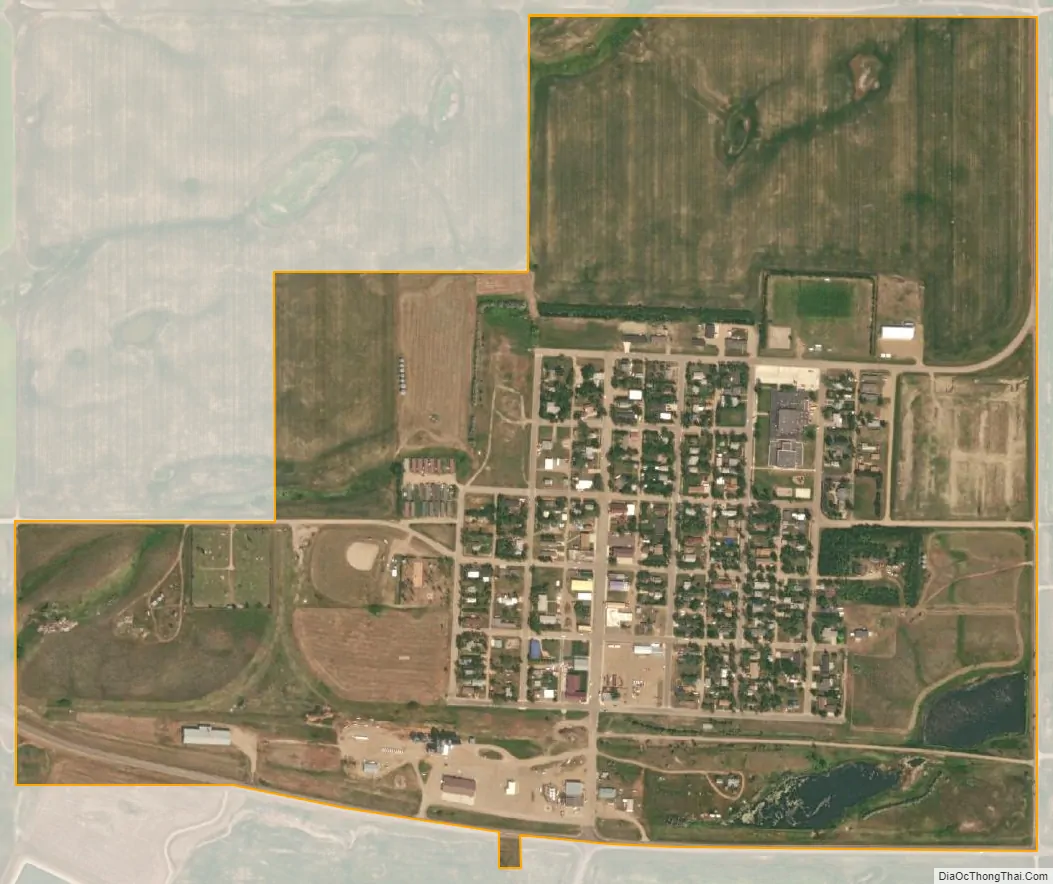
Grenora city Satellite Map
Geography
Climate
This climatic region is typified by large seasonal temperature differences, with warm to hot (and often humid) summers and cold (sometimes severely cold) winters. According to the Köppen Climate Classification system, Grenora has a humid continental climate, abbreviated “Dfb” on climate maps.
See also
Map of North Dakota State and its subdivision:- Adams
- Barnes
- Benson
- Billings
- Bottineau
- Bowman
- Burke
- Burleigh
- Cass
- Cavalier
- Dickey
- Divide
- Dunn
- Eddy
- Emmons
- Foster
- Golden Valley
- Grand Forks
- Grant
- Griggs
- Hettinger
- Kidder
- Lamoure
- Logan
- McHenry
- McIntosh
- McKenzie
- McLean
- Mercer
- Morton
- Mountrail
- Nelson
- Oliver
- Pembina
- Pierce
- Ramsey
- Ransom
- Renville
- Richland
- Rolette
- Sargent
- Sheridan
- Sioux
- Slope
- Stark
- Steele
- Stutsman
- Towner
- Traill
- Walsh
- Ward
- Wells
- Williams
- Alabama
- Alaska
- Arizona
- Arkansas
- California
- Colorado
- Connecticut
- Delaware
- District of Columbia
- Florida
- Georgia
- Hawaii
- Idaho
- Illinois
- Indiana
- Iowa
- Kansas
- Kentucky
- Louisiana
- Maine
- Maryland
- Massachusetts
- Michigan
- Minnesota
- Mississippi
- Missouri
- Montana
- Nebraska
- Nevada
- New Hampshire
- New Jersey
- New Mexico
- New York
- North Carolina
- North Dakota
- Ohio
- Oklahoma
- Oregon
- Pennsylvania
- Rhode Island
- South Carolina
- South Dakota
- Tennessee
- Texas
- Utah
- Vermont
- Virginia
- Washington
- West Virginia
- Wisconsin
- Wyoming