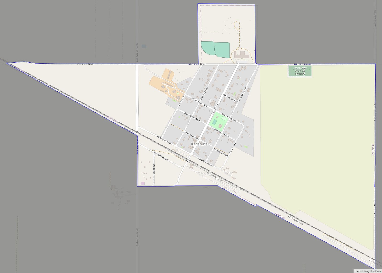
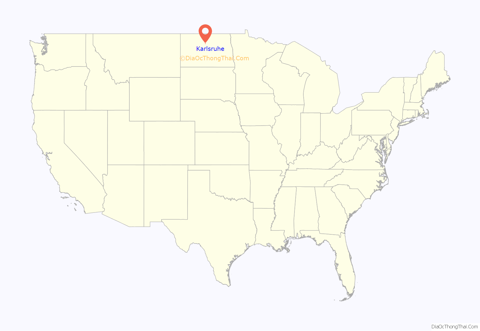
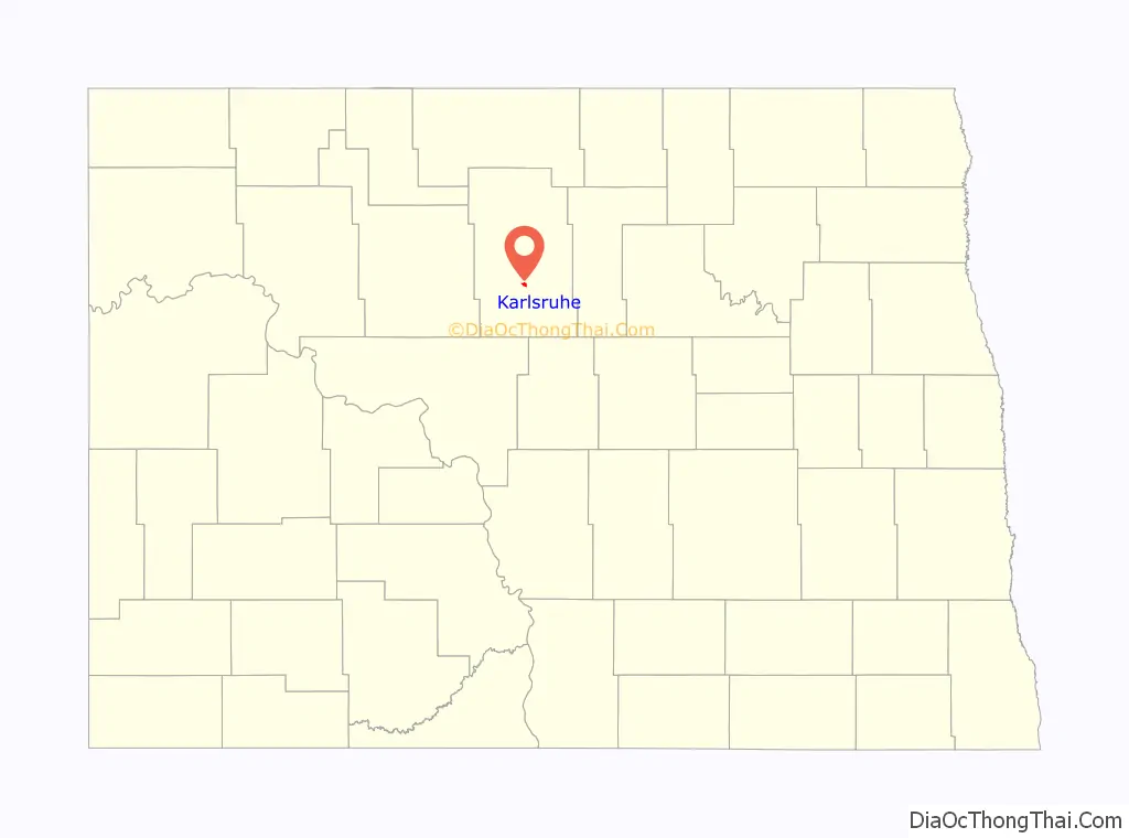
Karlsruhe (/ˈkɑːrlsruː/ KARLSS-roo) is a city in McHenry County, North Dakota, United States. The population was 87 at the 2020 census. Karlsruhe was founded in 1912.
Old Saints Peter and Paul Cemetery, Wrought-Iron Cross Site, in or near Karlsruhe, is listed on the National Register of Historic Places. Sts. Peter and Paul Catholic Church in Karlsruhe features works by the artist Count Berthold von Imhoff.
Karlsruhe is also included in the Minot micropolitan statistical area.
| Name: | Karlsruhe city |
|---|---|
| LSAD Code: | 25 |
| LSAD Description: | city (suffix) |
| State: | North Dakota |
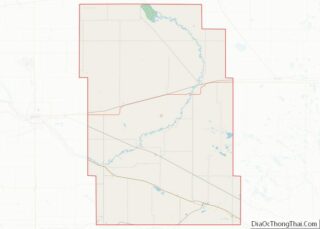
| County: | McHenry County |
| Founded: | 1912 |
| Elevation: | 1,542 ft (470 m) |
| Total Area: | 0.75 sq mi (1.94 km²) |
| Land Area: | 0.75 sq mi (1.94 km²) |
| Water Area: | 0.00 sq mi (0.00 km²) |
| Total Population: | 87 |
| Population Density: | 116.00/sq mi (44.77/km²) |
| ZIP code: | 58744 |
| Area code: | 701 |
| FIPS code: | 3841380 |
| GNISfeature ID: | 1029714 |
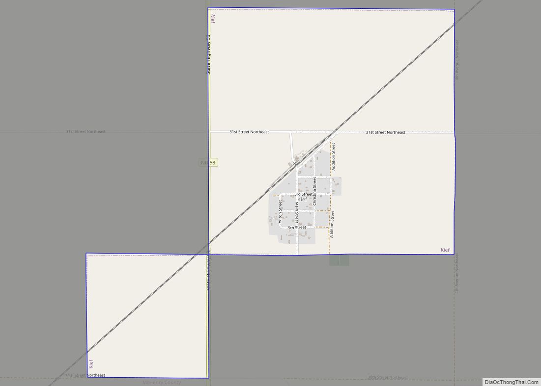
Online Interactive Map
Click on ![]() to view map in "full screen" mode.
to view map in "full screen" mode.
Karlsruhe location map. Where is Karlsruhe city?
History
Karlsruhe was named after the German city of Karlsruhe by Germans from Russia. Karlsruhe was first settled in the late 19th century by German pioneers moving toward northern American prairie lands. These pioneers and their early generations of relatives are buried in the St. Peter and Paul cemetery. In the town’s early years, many German traditions were practiced regularly, however, throughout the years it has become an Americanized town, with very few of these traditions still present. Karlsruhe’s population has continued to decrease to this day.
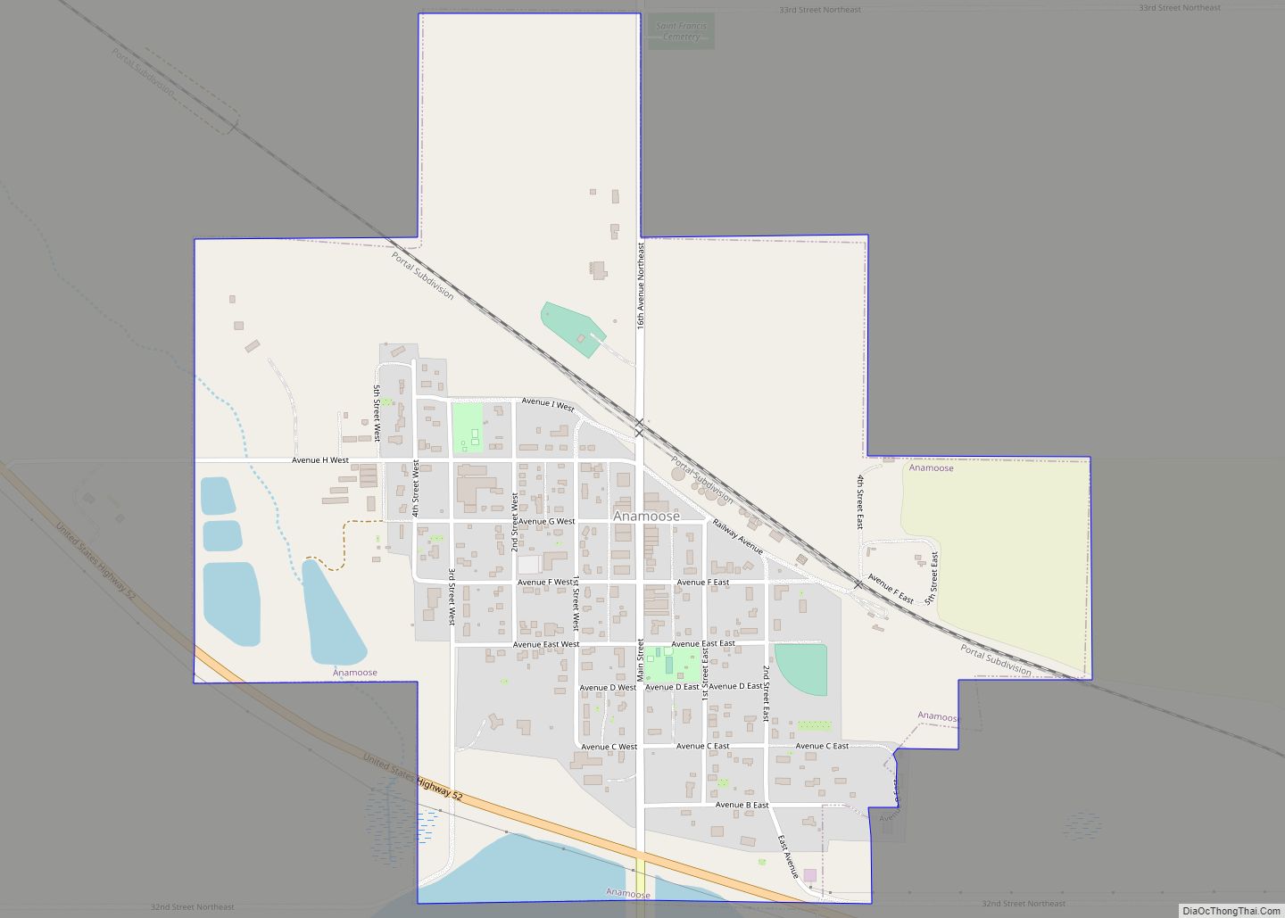
Karlsruhe Road Map
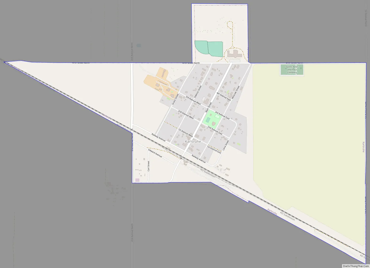
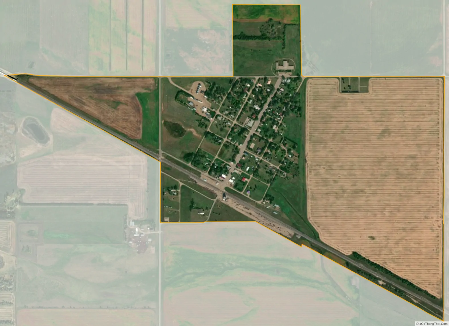
Karlsruhe city Satellite Map
Geography
Karlsruhe is located at 48°5′27″N 100°37′15″W / 48.09083°N 100.62083°W / 48.09083; -100.62083 (48.090862, -100.620829).
According to the United States Census Bureau, the city has a total area of 0.75 square miles (1.94 km), all land.
Climate
This climatic region is typified by large seasonal temperature differences, with warm to hot (and often humid) summers and cold (sometimes severely cold) winters. According to the Köppen Climate Classification system, Karlsruhe has a humid continental climate, abbreviated “Dfb” on climate maps. McHenry County has a higher number of natural disasters (24) than North Dakota’s state average (12). Floods, storms, and snow are the most common of these disasters.
See also
Map of North Dakota State and its subdivision:- Adams
- Barnes
- Benson
- Billings
- Bottineau
- Bowman
- Burke
- Burleigh
- Cass
- Cavalier
- Dickey
- Divide
- Dunn
- Eddy
- Emmons
- Foster
- Golden Valley
- Grand Forks
- Grant
- Griggs
- Hettinger
- Kidder
- Lamoure
- Logan
- McHenry
- McIntosh
- McKenzie
- McLean
- Mercer
- Morton
- Mountrail
- Nelson
- Oliver
- Pembina
- Pierce
- Ramsey
- Ransom
- Renville
- Richland
- Rolette
- Sargent
- Sheridan
- Sioux
- Slope
- Stark
- Steele
- Stutsman
- Towner
- Traill
- Walsh
- Ward
- Wells
- Williams
- Alabama
- Alaska
- Arizona
- Arkansas
- California
- Colorado
- Connecticut
- Delaware
- District of Columbia
- Florida
- Georgia
- Hawaii
- Idaho
- Illinois
- Indiana
- Iowa
- Kansas
- Kentucky
- Louisiana
- Maine
- Maryland
- Massachusetts
- Michigan
- Minnesota
- Mississippi
- Missouri
- Montana
- Nebraska
- Nevada
- New Hampshire
- New Jersey
- New Mexico
- New York
- North Carolina
- North Dakota
- Ohio
- Oklahoma
- Oregon
- Pennsylvania
- Rhode Island
- South Carolina
- South Dakota
- Tennessee
- Texas
- Utah
- Vermont
- Virginia
- Washington
- West Virginia
- Wisconsin
- Wyoming