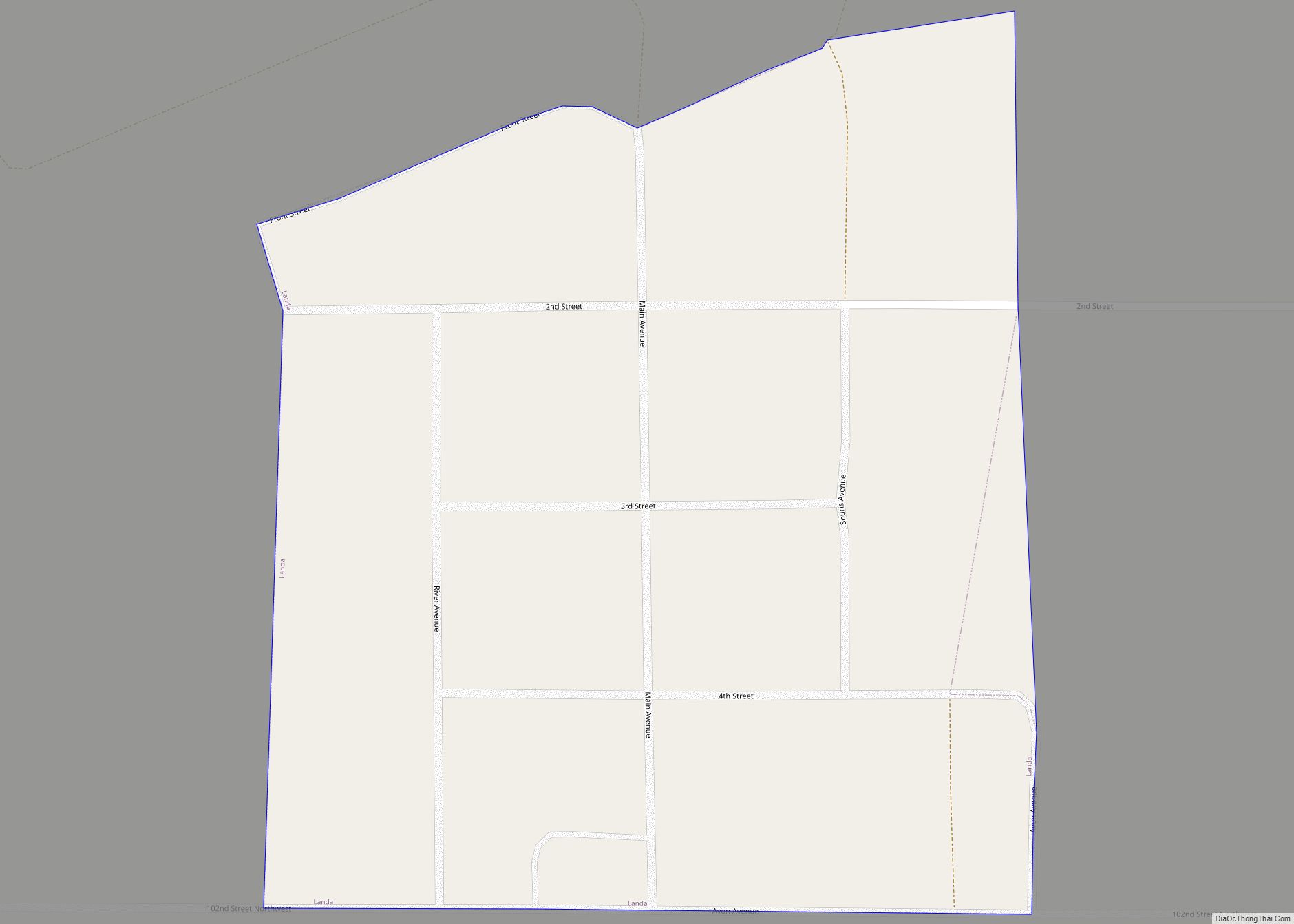
Landa is a city in Bottineau County, North Dakota, United States. The population was 41 at the 2020 census. Landa was founded in 1904.
| Name: | Landa city |
|---|---|
| LSAD Code: | 25 |
| LSAD Description: | city (suffix) |
| State: | North Dakota |
| County: | Bottineau County |
| Founded: | 1904 |
| Elevation: | 1,483 ft (452 m) |
| Total Area: | 0.08 sq mi (0.20 km²) |
| Land Area: | 0.08 sq mi (0.20 km²) |
| Water Area: | 0.00 sq mi (0.00 km²) |
| Total Population: | 41 |
| Population Density: | 539.47/sq mi (207.13/km²) |
| ZIP code: | 58783 |
| Area code: | 701 |
| FIPS code: | 3844700 |
| GNISfeature ID: | 1029823 |
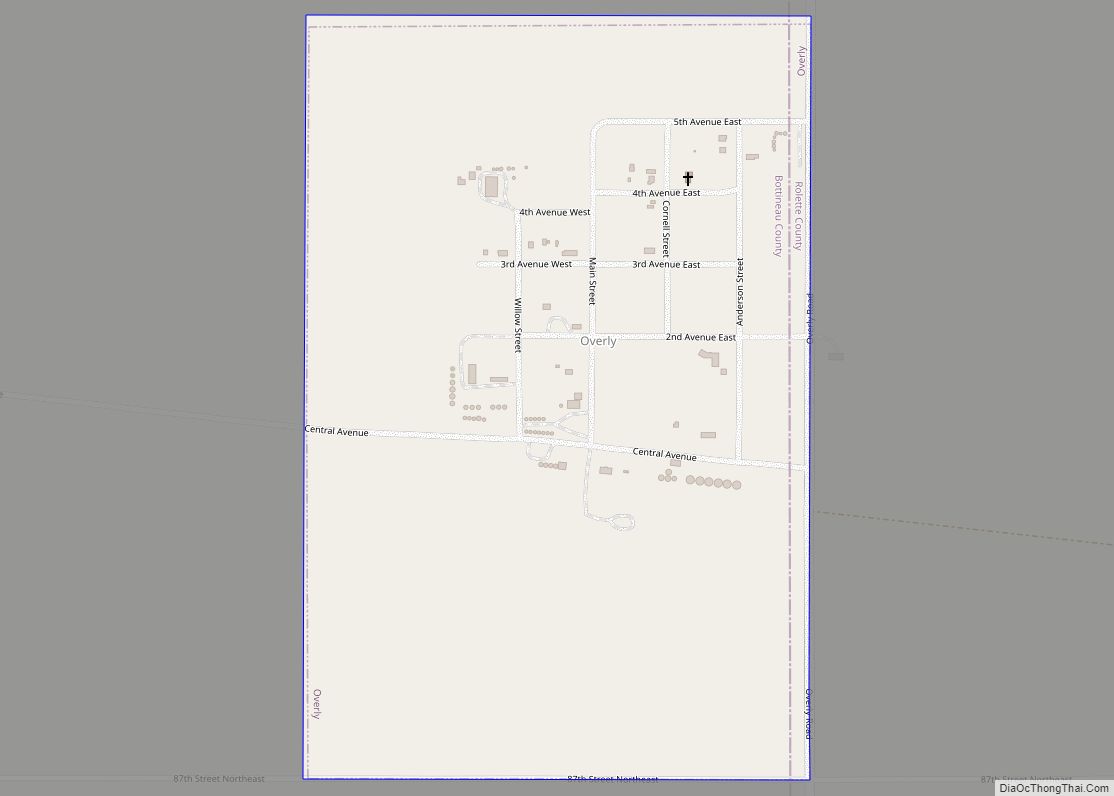
Online Interactive Map
Click on ![]() to view map in "full screen" mode.
to view map in "full screen" mode.
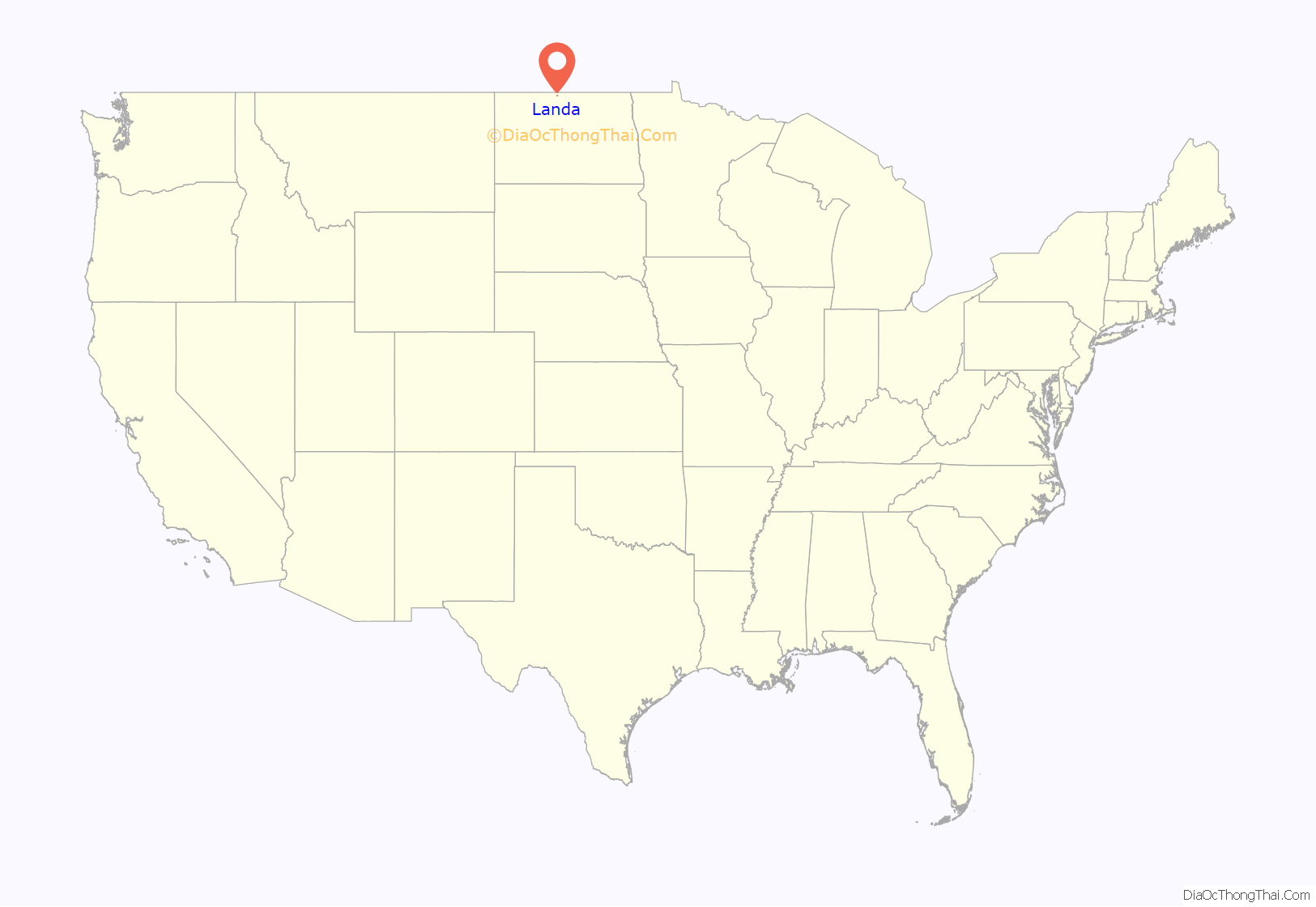
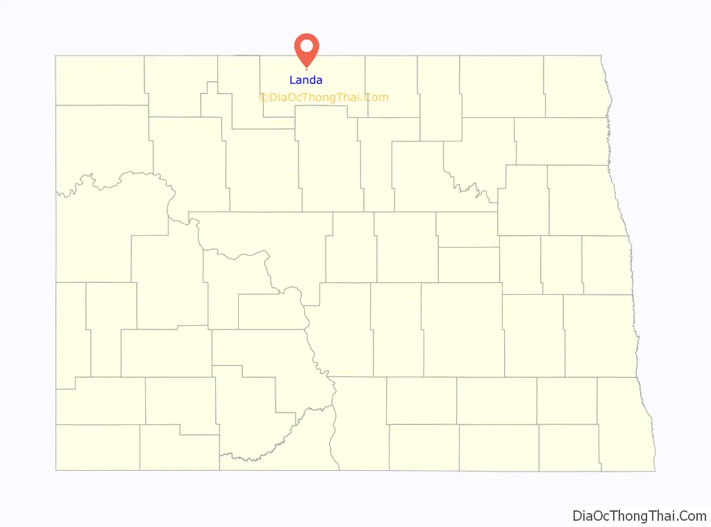
Landa location map. Where is Landa city?
History
The extension westward of the railroad in 1903 led to the establishment of Landa along the Great Northern Railway. Originally named Strabane, Norwegian immigrants renamed it after Daniel D. Landa and Theodore T. Landa, early settlers in the area.
Landa once had a bank, a hardware store, a lumber yard, a hotel, and other business establishments. Landa incorporated as a city in 1922, and showed a population of 140 during the 1930 Census.
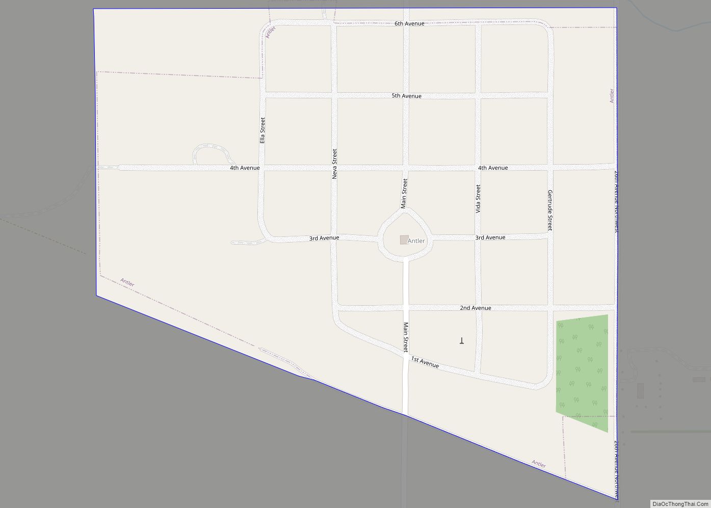
Landa Road Map
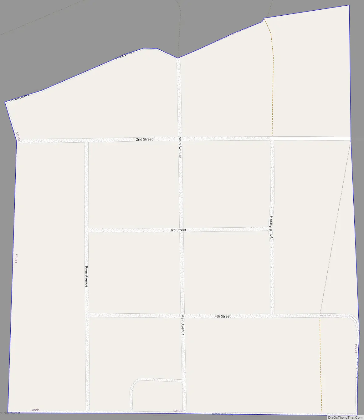
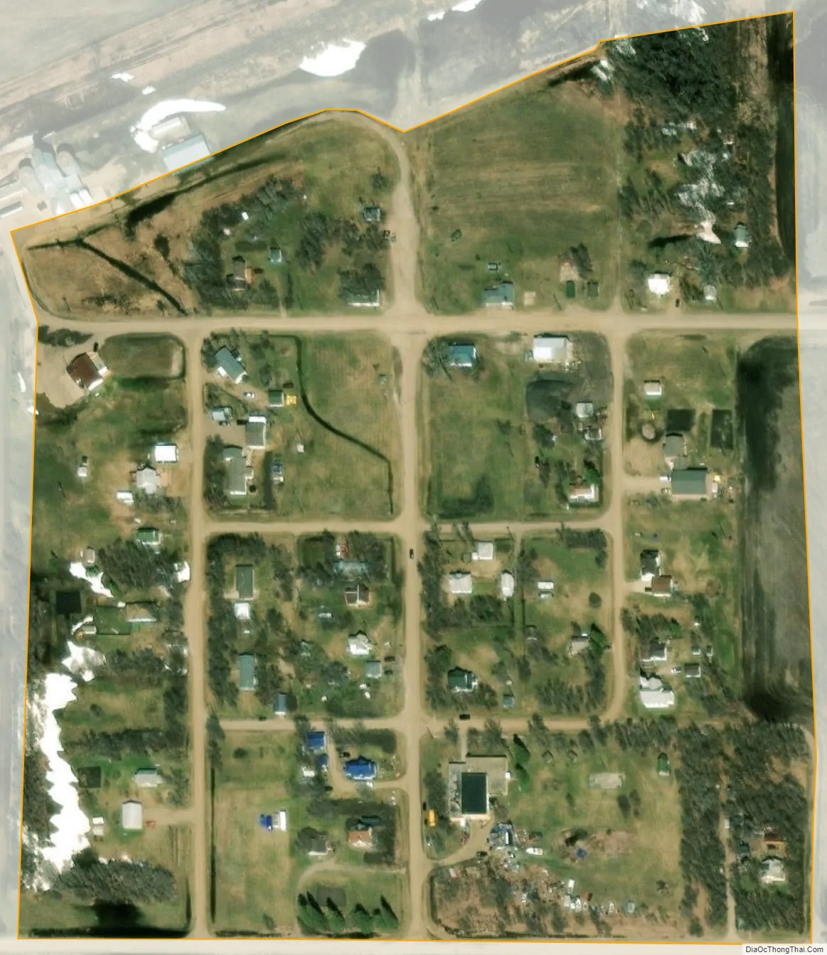
Landa city Satellite Map
Geography
Landa is located in Scotia Township in the northern part of the county. According to the United States Census Bureau, the city has a total area of 0.08 square miles (0.21 km), all land.
See also
Map of North Dakota State and its subdivision:- Adams
- Barnes
- Benson
- Billings
- Bottineau
- Bowman
- Burke
- Burleigh
- Cass
- Cavalier
- Dickey
- Divide
- Dunn
- Eddy
- Emmons
- Foster
- Golden Valley
- Grand Forks
- Grant
- Griggs
- Hettinger
- Kidder
- Lamoure
- Logan
- McHenry
- McIntosh
- McKenzie
- McLean
- Mercer
- Morton
- Mountrail
- Nelson
- Oliver
- Pembina
- Pierce
- Ramsey
- Ransom
- Renville
- Richland
- Rolette
- Sargent
- Sheridan
- Sioux
- Slope
- Stark
- Steele
- Stutsman
- Towner
- Traill
- Walsh
- Ward
- Wells
- Williams
- Alabama
- Alaska
- Arizona
- Arkansas
- California
- Colorado
- Connecticut
- Delaware
- District of Columbia
- Florida
- Georgia
- Hawaii
- Idaho
- Illinois
- Indiana
- Iowa
- Kansas
- Kentucky
- Louisiana
- Maine
- Maryland
- Massachusetts
- Michigan
- Minnesota
- Mississippi
- Missouri
- Montana
- Nebraska
- Nevada
- New Hampshire
- New Jersey
- New Mexico
- New York
- North Carolina
- North Dakota
- Ohio
- Oklahoma
- Oregon
- Pennsylvania
- Rhode Island
- South Carolina
- South Dakota
- Tennessee
- Texas
- Utah
- Vermont
- Virginia
- Washington
- West Virginia
- Wisconsin
- Wyoming