Larson is a former city and current census-designated place in Burke County, North Dakota, United States. The population was 12 at the 2010 census.
Larson was founded in 1907. Both this town and nearby Columbus were named for Columbus Larson, an early postmaster who served the area.
The city government of Larson was dissolved in 2003. Even though it is now an unincorporated community, it was declared a census-designated place as part of the U.S. Census Bureau’s Participant Statistical Areas Program on March 31, 2010. As a result, it was included in the 2010 census.
| Name: | Larson CDP |
|---|---|
| LSAD Code: | 57 |
| LSAD Description: | CDP (suffix) |
| State: | North Dakota |
| County: | Burke County |
| Elevation: | 1,929 ft (588 m) |
| Total Area: | 0.41 sq mi (1.06 km²) |
| Land Area: | 0.41 sq mi (1.06 km²) |
| Water Area: | 0.00 sq mi (0.00 km²) |
| Total Population: | 9 |
| Population Density: | 22.00/sq mi (8.50/km²) |
| ZIP code: | 58727 |
| Area code: | 701 |
| FIPS code: | 3845220 |
| GNISfeature ID: | 1029840 |
Online Interactive Map
Click on ![]() to view map in "full screen" mode.
to view map in "full screen" mode.
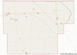
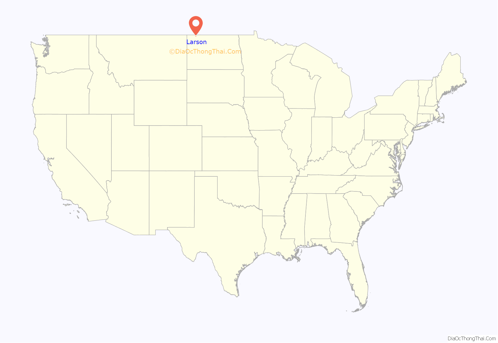
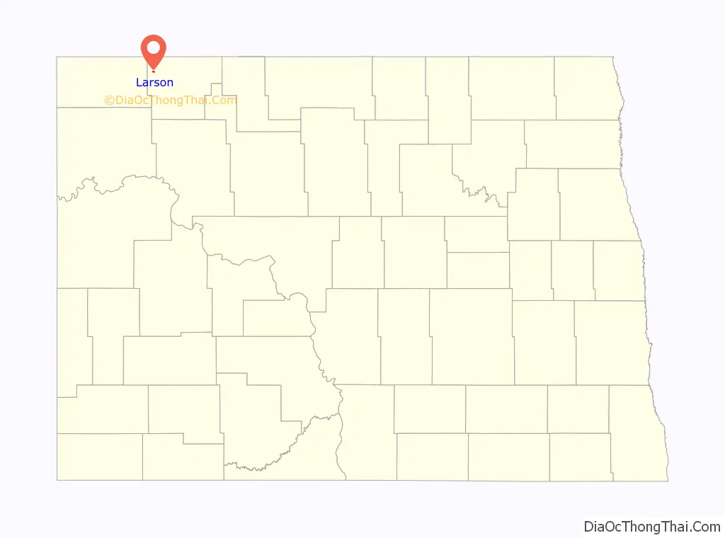
Larson location map. Where is Larson CDP?
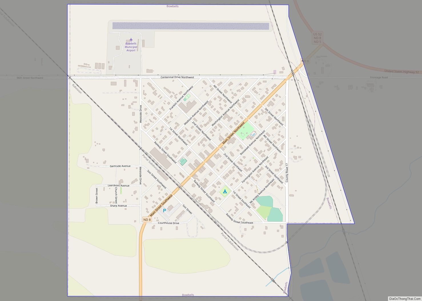
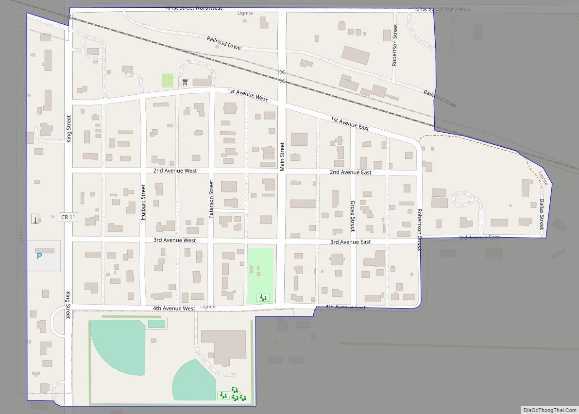
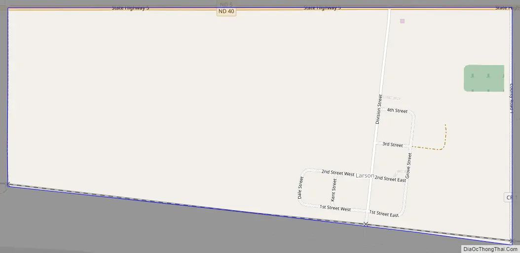
Larson Road Map
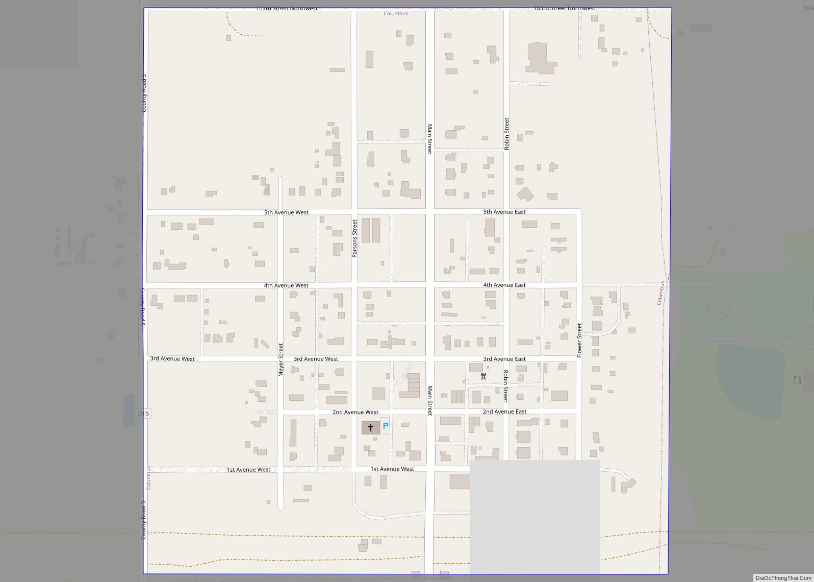
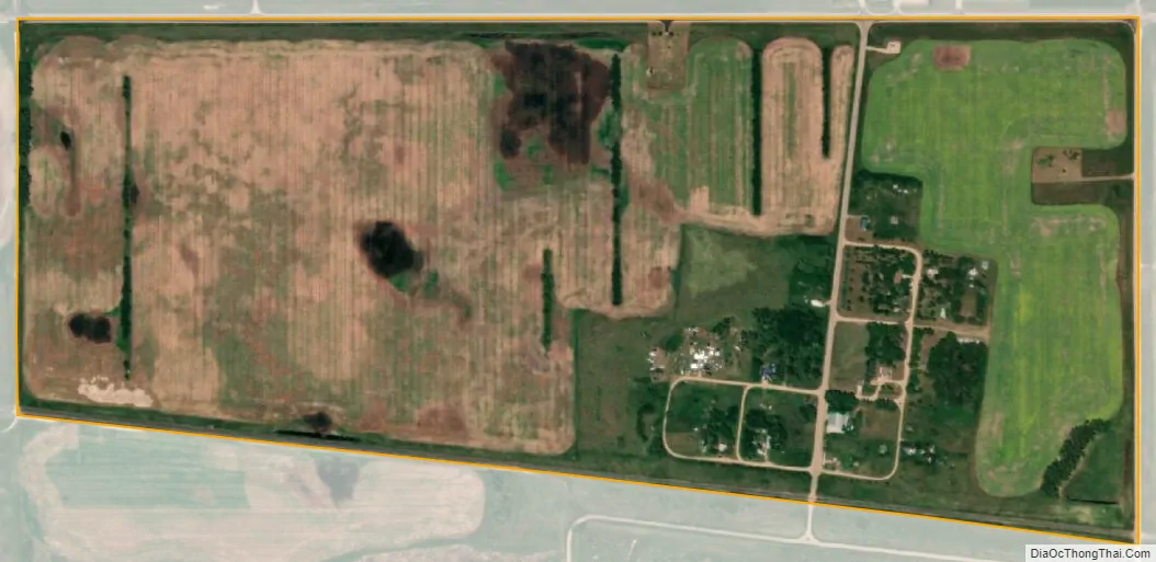
Larson city Satellite Map
Geography
Larson is located at 48°53′22″N 102°51′38″W / 48.88944°N 102.86056°W / 48.88944; -102.86056 (48.889308, -102.860606).
According to the United States Census Bureau, the city has a total area of 0.4 square miles (1.0 km), all land.
See also
Map of North Dakota State and its subdivision:- Adams
- Barnes
- Benson
- Billings
- Bottineau
- Bowman
- Burke
- Burleigh
- Cass
- Cavalier
- Dickey
- Divide
- Dunn
- Eddy
- Emmons
- Foster
- Golden Valley
- Grand Forks
- Grant
- Griggs
- Hettinger
- Kidder
- Lamoure
- Logan
- McHenry
- McIntosh
- McKenzie
- McLean
- Mercer
- Morton
- Mountrail
- Nelson
- Oliver
- Pembina
- Pierce
- Ramsey
- Ransom
- Renville
- Richland
- Rolette
- Sargent
- Sheridan
- Sioux
- Slope
- Stark
- Steele
- Stutsman
- Towner
- Traill
- Walsh
- Ward
- Wells
- Williams
- Alabama
- Alaska
- Arizona
- Arkansas
- California
- Colorado
- Connecticut
- Delaware
- District of Columbia
- Florida
- Georgia
- Hawaii
- Idaho
- Illinois
- Indiana
- Iowa
- Kansas
- Kentucky
- Louisiana
- Maine
- Maryland
- Massachusetts
- Michigan
- Minnesota
- Mississippi
- Missouri
- Montana
- Nebraska
- Nevada
- New Hampshire
- New Jersey
- New Mexico
- New York
- North Carolina
- North Dakota
- Ohio
- Oklahoma
- Oregon
- Pennsylvania
- Rhode Island
- South Carolina
- South Dakota
- Tennessee
- Texas
- Utah
- Vermont
- Virginia
- Washington
- West Virginia
- Wisconsin
- Wyoming