Leal is a city in Barnes County in the state of North Dakota. The population was 27 at the 2020 census. Leal was founded in 1892. The name comes from the Scots word for “faithful,” which in the phrase laund o the leal means Heaven.
| Name: | Leal city |
|---|---|
| LSAD Code: | 25 |
| LSAD Description: | city (suffix) |
| State: | North Dakota |
| County: | Barnes County |
| Founded: | 1892 |
| Elevation: | 1,467 ft (447 m) |
| Total Area: | 0.13 sq mi (0.33 km²) |
| Land Area: | 0.13 sq mi (0.33 km²) |
| Water Area: | 0.00 sq mi (0.00 km²) |
| Total Population: | 27 |
| Population Density: | 209.30/sq mi (80.87/km²) |
| ZIP code: | 58479 |
| Area code: | 701 |
| FIPS code: | 3845460 |
| GNISfeature ID: | 1029852 |
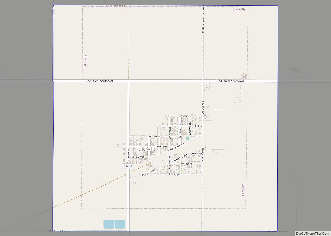
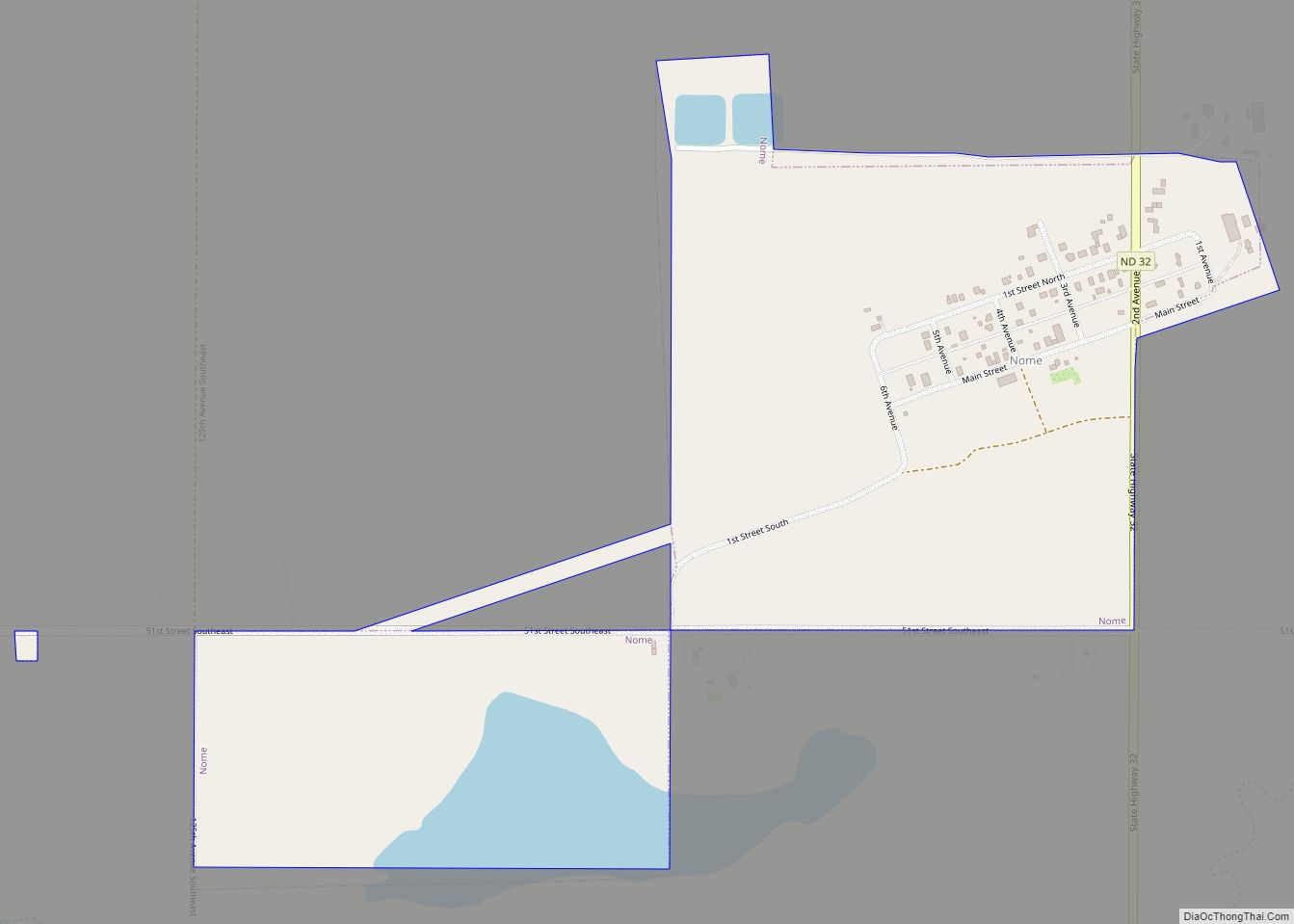
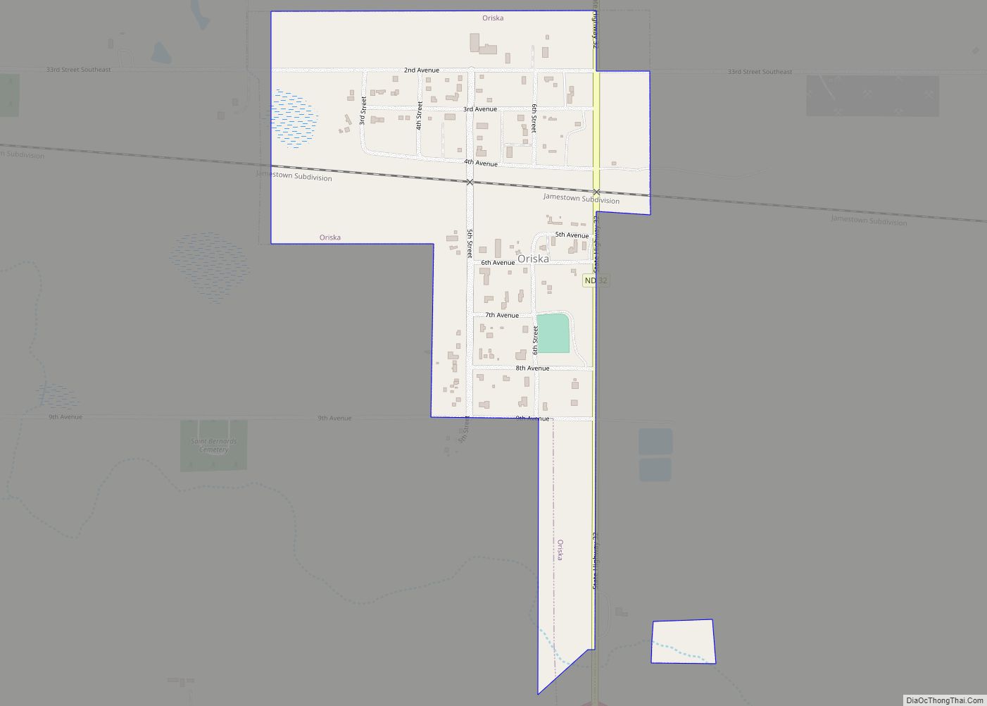
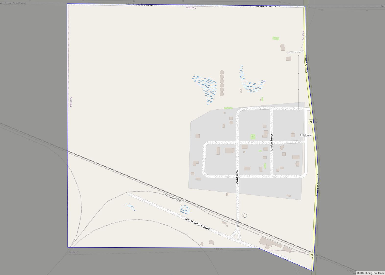
Online Interactive Map
Click on ![]() to view map in "full screen" mode.
to view map in "full screen" mode.
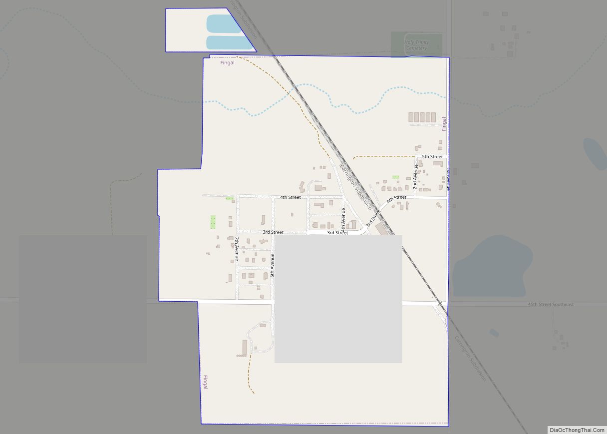
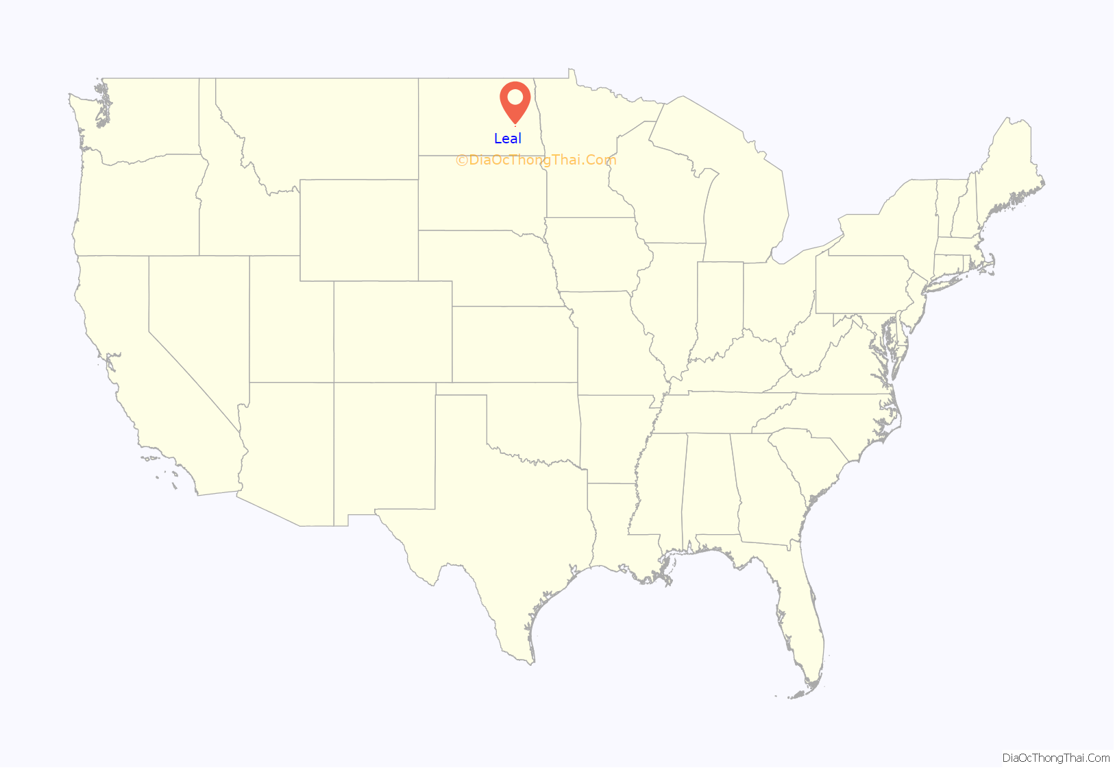
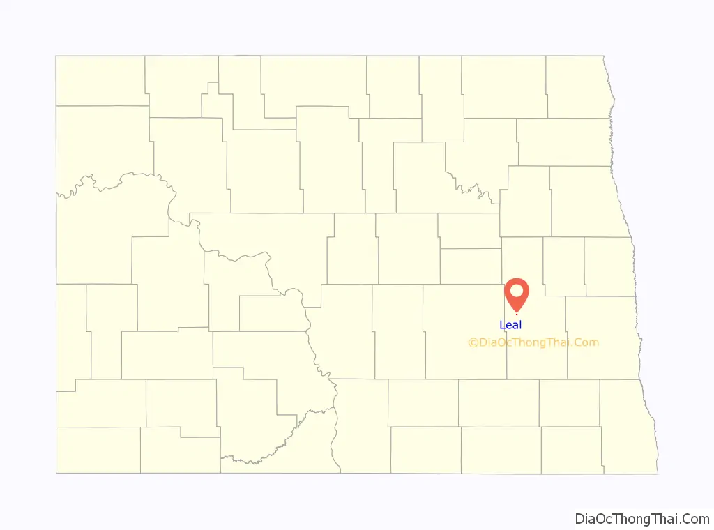
Leal location map. Where is Leal city?
History
Scottish-English emigrants from Ontario, Canada, originally settled in this area in 1883. The townsite of Leal was platted in 1892, and a post office established December 28, 1892. Officials with the Soo Line Railroad established a station here in 1902.
Leal incorporated as a village in 1917 from part of Edna Township. It became a city in 1967, after the North Dakota Legislature eliminated incorporation titles for villages and towns. As a result, all incorporated municipalities in North Dakota automatically adopted a city form of government.
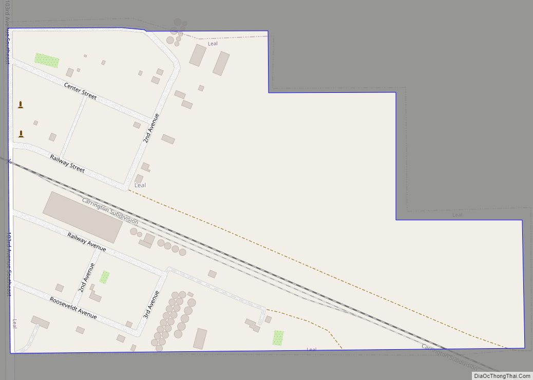
Leal Road Map
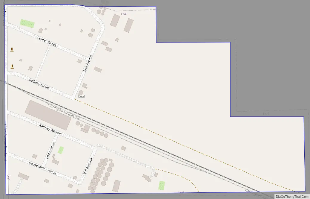
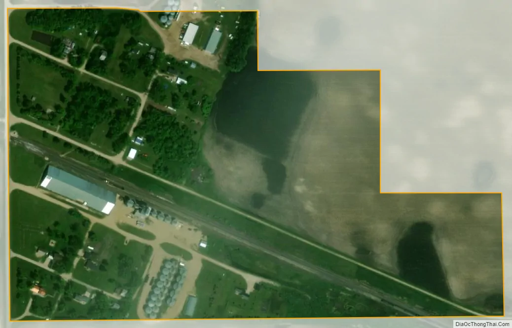
Leal city Satellite Map
Geography
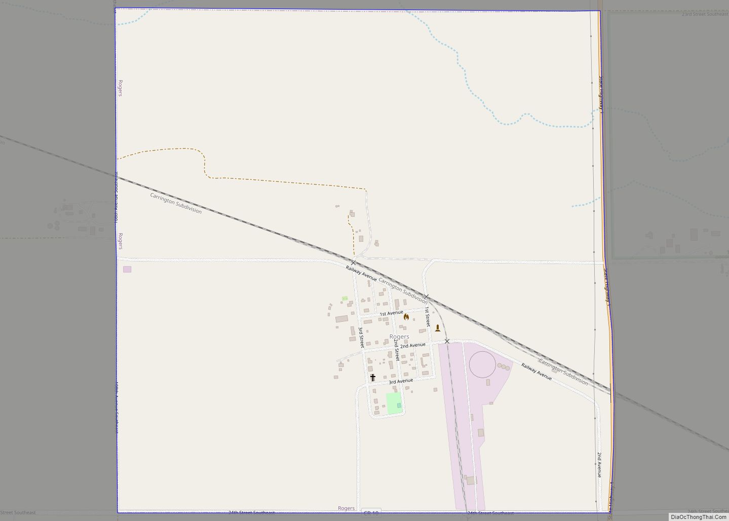
Leal is located in Edna Township in the northeastern part of Barnes County. It is 73 miles (117 km) west of Fargo, and the nearest city is Rogers.
According to the United States Census Bureau, the city has a total area of 0.14 square miles (0.36 km), all land.
Climate
Due to its location in the Great Plains and distance from both mountains and oceans, the city has an extreme continental climate, USDA Plant Hardiness Zone 4. The lowest temperature ever recorded was −37 °F (−38 °C) on December 23, 1983, and the highest temperature ever recorded was 106 °F (41 °C) on July 30, 2006.
See also
Map of North Dakota State and its subdivision:- Adams
- Barnes
- Benson
- Billings
- Bottineau
- Bowman
- Burke
- Burleigh
- Cass
- Cavalier
- Dickey
- Divide
- Dunn
- Eddy
- Emmons
- Foster
- Golden Valley
- Grand Forks
- Grant
- Griggs
- Hettinger
- Kidder
- Lamoure
- Logan
- McHenry
- McIntosh
- McKenzie
- McLean
- Mercer
- Morton
- Mountrail
- Nelson
- Oliver
- Pembina
- Pierce
- Ramsey
- Ransom
- Renville
- Richland
- Rolette
- Sargent
- Sheridan
- Sioux
- Slope
- Stark
- Steele
- Stutsman
- Towner
- Traill
- Walsh
- Ward
- Wells
- Williams
- Alabama
- Alaska
- Arizona
- Arkansas
- California
- Colorado
- Connecticut
- Delaware
- District of Columbia
- Florida
- Georgia
- Hawaii
- Idaho
- Illinois
- Indiana
- Iowa
- Kansas
- Kentucky
- Louisiana
- Maine
- Maryland
- Massachusetts
- Michigan
- Minnesota
- Mississippi
- Missouri
- Montana
- Nebraska
- Nevada
- New Hampshire
- New Jersey
- New Mexico
- New York
- North Carolina
- North Dakota
- Ohio
- Oklahoma
- Oregon
- Pennsylvania
- Rhode Island
- South Carolina
- South Dakota
- Tennessee
- Texas
- Utah
- Vermont
- Virginia
- Washington
- West Virginia
- Wisconsin
- Wyoming