Lisbon is a city in and the county seat of Ransom County, North Dakota, United States. The population was 2,204 at the 2020 census.
| Name: | Lisbon city |
|---|---|
| LSAD Code: | 25 |
| LSAD Description: | city (suffix) |
| State: | North Dakota |
| County: | Ransom County |
| Elevation: | 1,083 ft (330 m) |
| Total Area: | 2.29 sq mi (5.94 km²) |
| Land Area: | 2.29 sq mi (5.94 km²) |
| Water Area: | 0.00 sq mi (0.00 km²) |
| Total Population: | 2,204 |
| Population Density: | 961.19/sq mi (371.08/km²) |
| ZIP code: | 58054 |
| Area code: | 701 |
| FIPS code: | 3847100 |
| GNISfeature ID: | 1029920 |
| Website: | cityoflisbon.net |
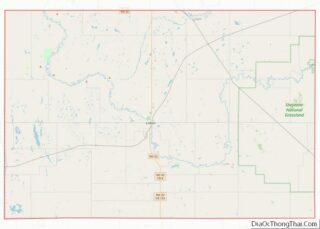
Online Interactive Map
Click on ![]() to view map in "full screen" mode.
to view map in "full screen" mode.
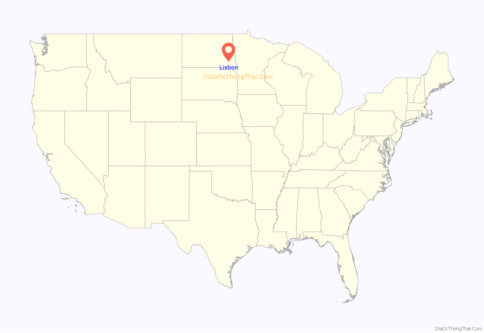
Lisbon location map. Where is Lisbon city?
History
Lisbon was founded in 1880 by Joseph L. Colton, who named the new city after Lisbon, New York, his wife’s hometown, not after Portugal’s capital. Within four years, the town had a newspaper, the Star.
Picnickers in Sandager Park can often watch canoeists paddle by on the Sheyenne. Camping is available in Sandager Park and five miles south of the city in Dead Colt Creek Recreation Area. Pioneer Lisbon newspaper publisher W.D. Boyce is credited with importing the concept for the Boy Scouts from England to the United States. The verdant campus of the North Dakota Veterans Home, established in 1891, provides retirement living for military veterans. Construction is underway for a large new facility adjacent to the current one.
Downtown Lisbon is home to the Scenic movie theater, which was established in 1911. The Scenic is the oldest, continuously running theater in the United States. During the COVID-19 pandemic in 2020, the theater remained open by providing outdoor showings.
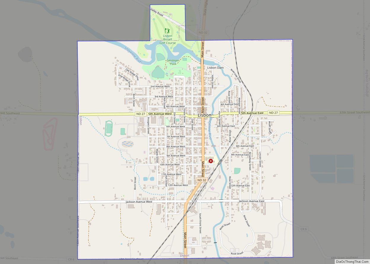
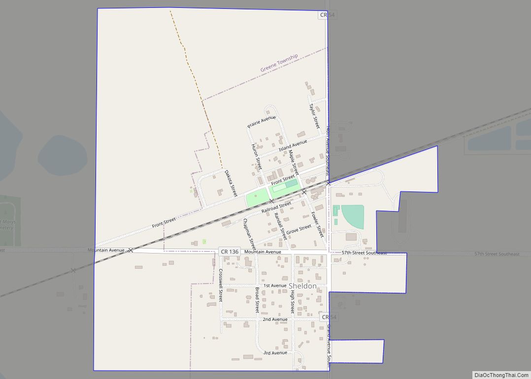
Lisbon Road Map
Lisbon city Satellite Map
Geography
Lisbon is located at 46°26′21″N 97°41′1″W / 46.43917°N 97.68361°W / 46.43917; -97.68361 (46.439141, −97.683520).
According to the United States Census Bureau, the city has a total area of 2.25 square miles (5.83 km), all land.
Lisbon is at the intersection of State Highways 27 (5th Avenue) and 32 (Main Street).
See also
Map of North Dakota State and its subdivision:- Adams
- Barnes
- Benson
- Billings
- Bottineau
- Bowman
- Burke
- Burleigh
- Cass
- Cavalier
- Dickey
- Divide
- Dunn
- Eddy
- Emmons
- Foster
- Golden Valley
- Grand Forks
- Grant
- Griggs
- Hettinger
- Kidder
- Lamoure
- Logan
- McHenry
- McIntosh
- McKenzie
- McLean
- Mercer
- Morton
- Mountrail
- Nelson
- Oliver
- Pembina
- Pierce
- Ramsey
- Ransom
- Renville
- Richland
- Rolette
- Sargent
- Sheridan
- Sioux
- Slope
- Stark
- Steele
- Stutsman
- Towner
- Traill
- Walsh
- Ward
- Wells
- Williams
- Alabama
- Alaska
- Arizona
- Arkansas
- California
- Colorado
- Connecticut
- Delaware
- District of Columbia
- Florida
- Georgia
- Hawaii
- Idaho
- Illinois
- Indiana
- Iowa
- Kansas
- Kentucky
- Louisiana
- Maine
- Maryland
- Massachusetts
- Michigan
- Minnesota
- Mississippi
- Missouri
- Montana
- Nebraska
- Nevada
- New Hampshire
- New Jersey
- New Mexico
- New York
- North Carolina
- North Dakota
- Ohio
- Oklahoma
- Oregon
- Pennsylvania
- Rhode Island
- South Carolina
- South Dakota
- Tennessee
- Texas
- Utah
- Vermont
- Virginia
- Washington
- West Virginia
- Wisconsin
- Wyoming
