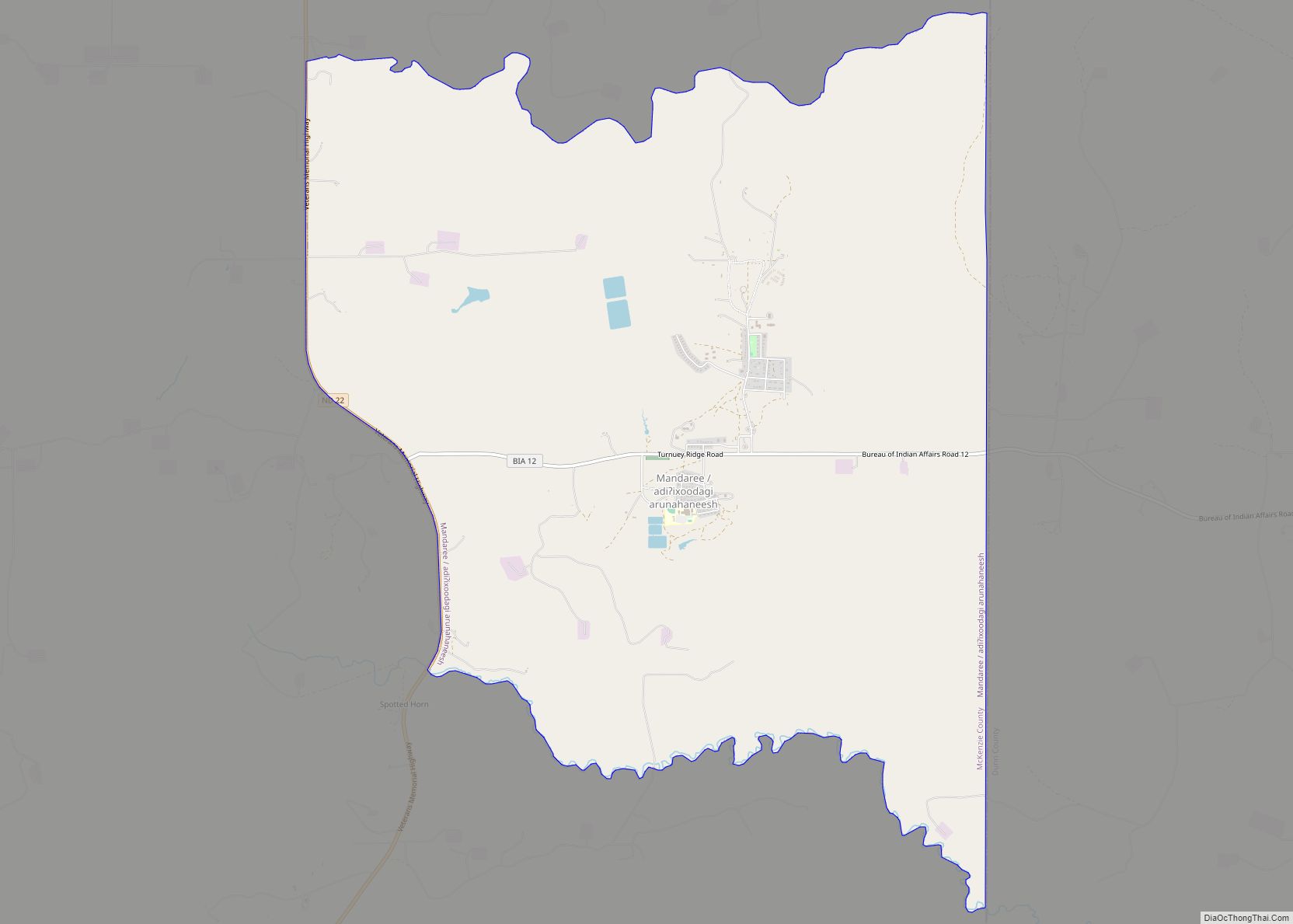
Mandaree (Hidatsa: Adixoodagoorahareesh) is a census-designated place (CDP) in McKenzie County, North Dakota, United States. The population was 596 at the 2010 census.
Mandaree is located on the Fort Berthold Indian Reservation in the Mandan, Hidatsa and Arikara Nation. It was founded in 1954 as a home for those displaced by the rising backwaters of the Garrison Dam. The name was suggested by a Catholic missionary on the reservation and is a portmanteau of the names of the three tribes: MANdan, HiDAtsa, and REE, another name for the Arikara.
Mandaree is the primary physical center of the Mandan-Hidatsa community. It is noted nationally for its annual Pow-wow, held the second weekend in July, as well as for being the home of the Mandaree Singers, a tribal musical group.
| Name: | Mandaree CDP |
|---|---|
| LSAD Code: | 57 |
| LSAD Description: | CDP (suffix) |
| State: | North Dakota |
| County: | McKenzie County |
| Elevation: | 2,175 ft (663 m) |
| Total Area: | 11.15 sq mi (28.87 km²) |
| Land Area: | 11.13 sq mi (28.84 km²) |
| Water Area: | 0.01 sq mi (0.03 km²) |
| Total Population: | 691 |
| Population Density: | 62.06/sq mi (23.96/km²) |
| ZIP code: | 58757 |
| Area code: | 701 |
| FIPS code: | 3849980 |
| GNISfeature ID: | 1030079 |
Online Interactive Map
Click on ![]() to view map in "full screen" mode.
to view map in "full screen" mode.
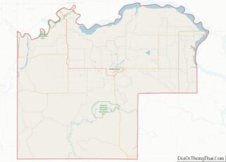
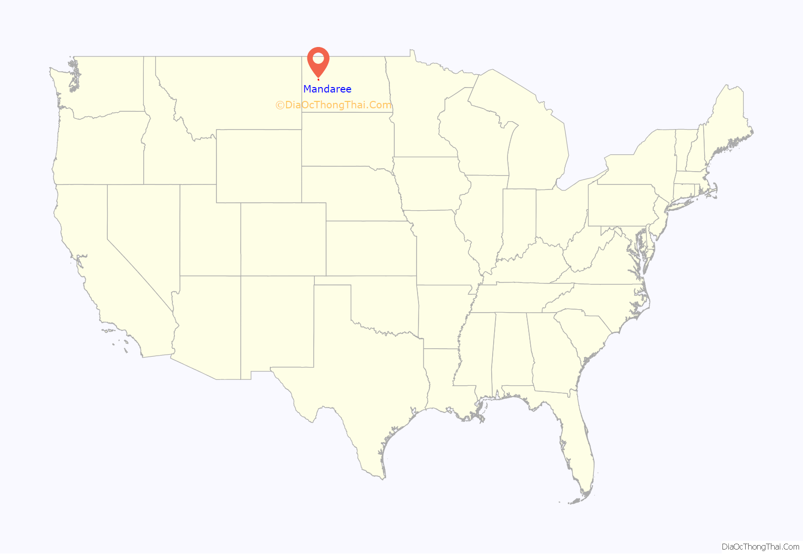
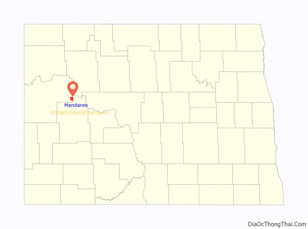
Mandaree location map. Where is Mandaree CDP?
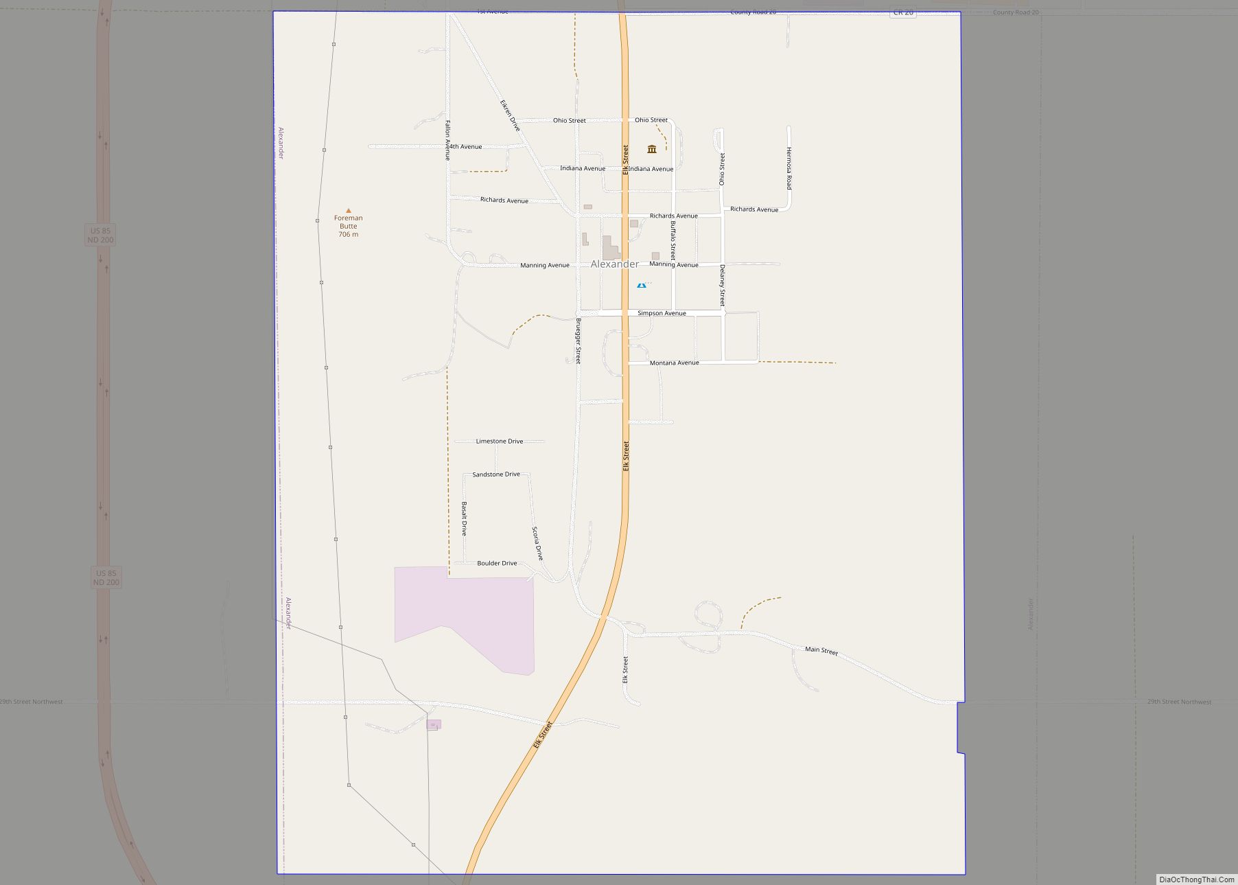
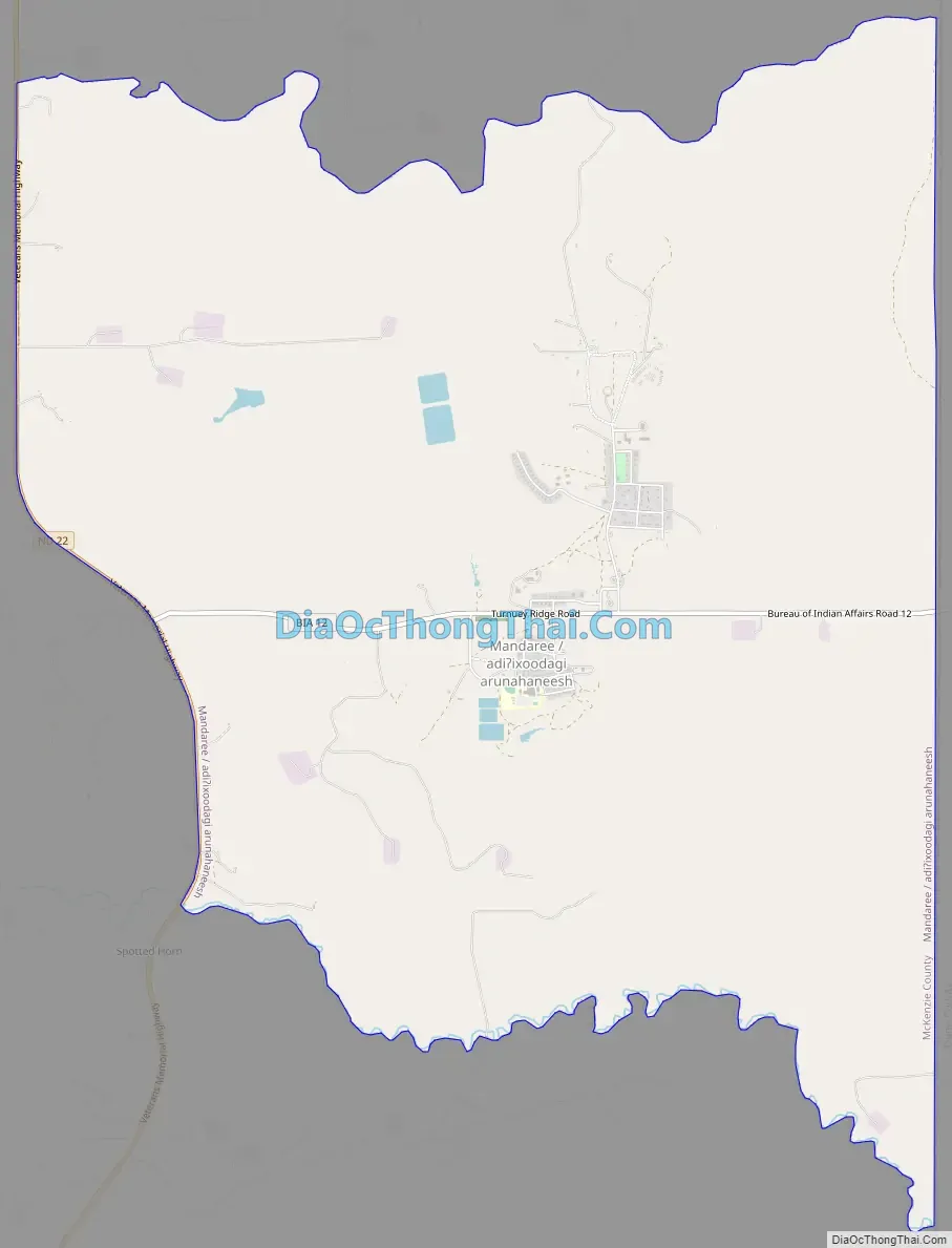
Mandaree Road Map
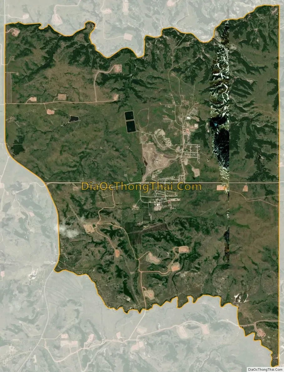
Mandaree city Satellite Map
Geography
Mandaree is located at 47°43′48″N 102°40′32″W / 47.73000°N 102.67556°W / 47.73000; -102.67556 (47.730127, -102.675465).
According to the United States Census Bureau, the CDP has a total area of 11.2 square miles (29 km), of which 11.2 square miles (29 km) is land and 0.09% is water.
See also
Map of North Dakota State and its subdivision:- Adams
- Barnes
- Benson
- Billings
- Bottineau
- Bowman
- Burke
- Burleigh
- Cass
- Cavalier
- Dickey
- Divide
- Dunn
- Eddy
- Emmons
- Foster
- Golden Valley
- Grand Forks
- Grant
- Griggs
- Hettinger
- Kidder
- Lamoure
- Logan
- McHenry
- McIntosh
- McKenzie
- McLean
- Mercer
- Morton
- Mountrail
- Nelson
- Oliver
- Pembina
- Pierce
- Ramsey
- Ransom
- Renville
- Richland
- Rolette
- Sargent
- Sheridan
- Sioux
- Slope
- Stark
- Steele
- Stutsman
- Towner
- Traill
- Walsh
- Ward
- Wells
- Williams
- Alabama
- Alaska
- Arizona
- Arkansas
- California
- Colorado
- Connecticut
- Delaware
- District of Columbia
- Florida
- Georgia
- Hawaii
- Idaho
- Illinois
- Indiana
- Iowa
- Kansas
- Kentucky
- Louisiana
- Maine
- Maryland
- Massachusetts
- Michigan
- Minnesota
- Mississippi
- Missouri
- Montana
- Nebraska
- Nevada
- New Hampshire
- New Jersey
- New Mexico
- New York
- North Carolina
- North Dakota
- Ohio
- Oklahoma
- Oregon
- Pennsylvania
- Rhode Island
- South Carolina
- South Dakota
- Tennessee
- Texas
- Utah
- Vermont
- Virginia
- Washington
- West Virginia
- Wisconsin
- Wyoming