Mantador is a city in Richland County, North Dakota, United States. The population was 67 at the 2020 census. Mantador was founded in 1893. It is part of the Wahpeton, ND-MN Micropolitan Statistical Area.
| Name: | Mantador city |
|---|---|
| LSAD Code: | 25 |
| LSAD Description: | city (suffix) |
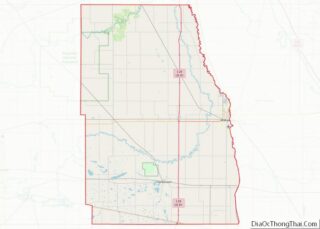
| State: | North Dakota |
| County: | Richland County |
| Founded: | 1893 |
| Elevation: | 1,027 ft (313 m) |
| Total Area: | 0.14 sq mi (0.35 km²) |
| Land Area: | 0.14 sq mi (0.35 km²) |
| Water Area: | 0.00 sq mi (0.00 km²) |
| Total Population: | 67 |
| Population Density: | 489.05/sq mi (188.81/km²) |
| ZIP code: | 58058 |
| Area code: | 701 |
| FIPS code: | 3850380 |
| GNISfeature ID: | 1034993 |
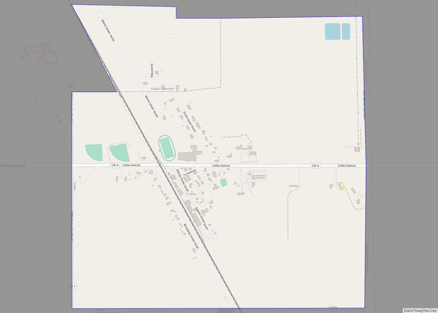
Online Interactive Map
Click on ![]() to view map in "full screen" mode.
to view map in "full screen" mode.
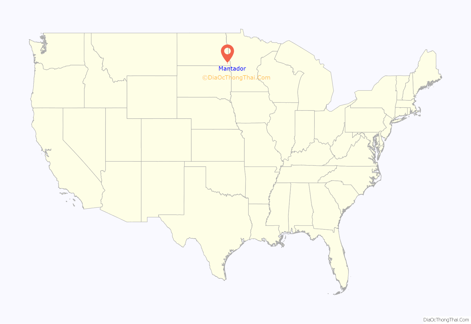
Mantador location map. Where is Mantador city?
History
Mantador was established in 1886 by the Soo Line Railroad as a depot under the so-called “Long Length Law.” The law required that depots must be placed at nine-mile intervals along the track in order to provide fuel and water for trains and to provide postal service for settlers. The town developed around the depot.
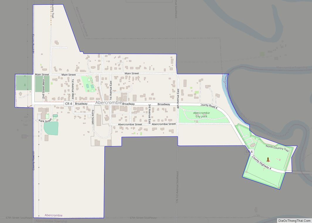
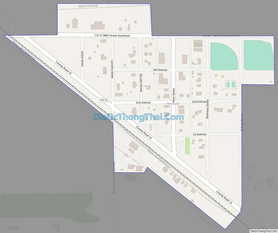
Mantador Road Map
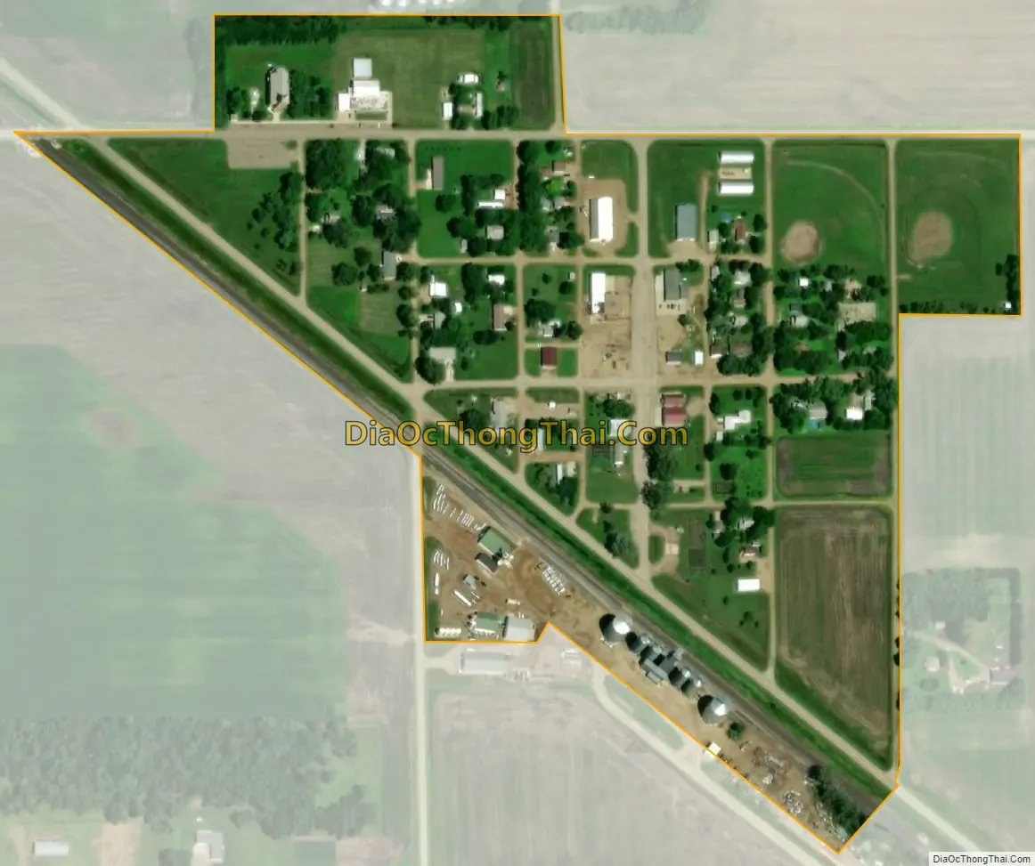
Mantador city Satellite Map
Geography
Mantador is located at 46°9′55″N 96°58′41″W / 46.16528°N 96.97806°W / 46.16528; -96.97806 (46.165165, -96.978146).
According to the United States Census Bureau, the city has an area of 0.14 square miles (0.36 km), all land.
See also
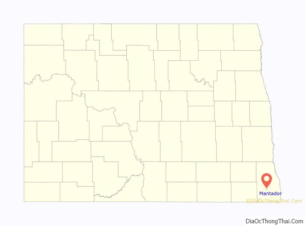
Map of North Dakota State and its subdivision:- Adams
- Barnes
- Benson
- Billings
- Bottineau
- Bowman
- Burke
- Burleigh
- Cass
- Cavalier
- Dickey
- Divide
- Dunn
- Eddy
- Emmons
- Foster
- Golden Valley
- Grand Forks
- Grant
- Griggs
- Hettinger
- Kidder
- Lamoure
- Logan
- McHenry
- McIntosh
- McKenzie
- McLean
- Mercer
- Morton
- Mountrail
- Nelson
- Oliver
- Pembina
- Pierce
- Ramsey
- Ransom
- Renville
- Richland
- Rolette
- Sargent
- Sheridan
- Sioux
- Slope
- Stark
- Steele
- Stutsman
- Towner
- Traill
- Walsh
- Ward
- Wells
- Williams
- Alabama
- Alaska
- Arizona
- Arkansas
- California
- Colorado
- Connecticut
- Delaware
- District of Columbia
- Florida
- Georgia
- Hawaii
- Idaho
- Illinois
- Indiana
- Iowa
- Kansas
- Kentucky
- Louisiana
- Maine
- Maryland
- Massachusetts
- Michigan
- Minnesota
- Mississippi
- Missouri
- Montana
- Nebraska
- Nevada
- New Hampshire
- New Jersey
- New Mexico
- New York
- North Carolina
- North Dakota
- Ohio
- Oklahoma
- Oregon
- Pennsylvania
- Rhode Island
- South Carolina
- South Dakota
- Tennessee
- Texas
- Utah
- Vermont
- Virginia
- Washington
- West Virginia
- Wisconsin
- Wyoming