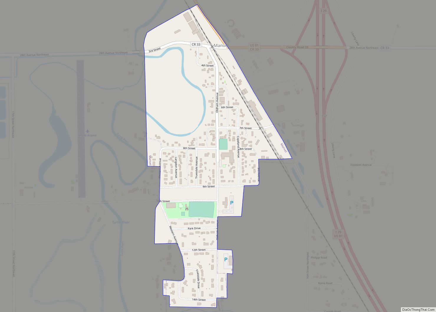
Manvel is a city in Grand Forks County, North Dakota, United States. It sits on the banks of the Turtle River. It is part of the “Grand Forks, ND–MN Metropolitan Statistical Area” or “Greater Grand Forks”. The population was 377 at the 2020 census. Manvel was founded in 1881.
| Name: | Manvel city |
|---|---|
| LSAD Code: | 25 |
| LSAD Description: | city (suffix) |
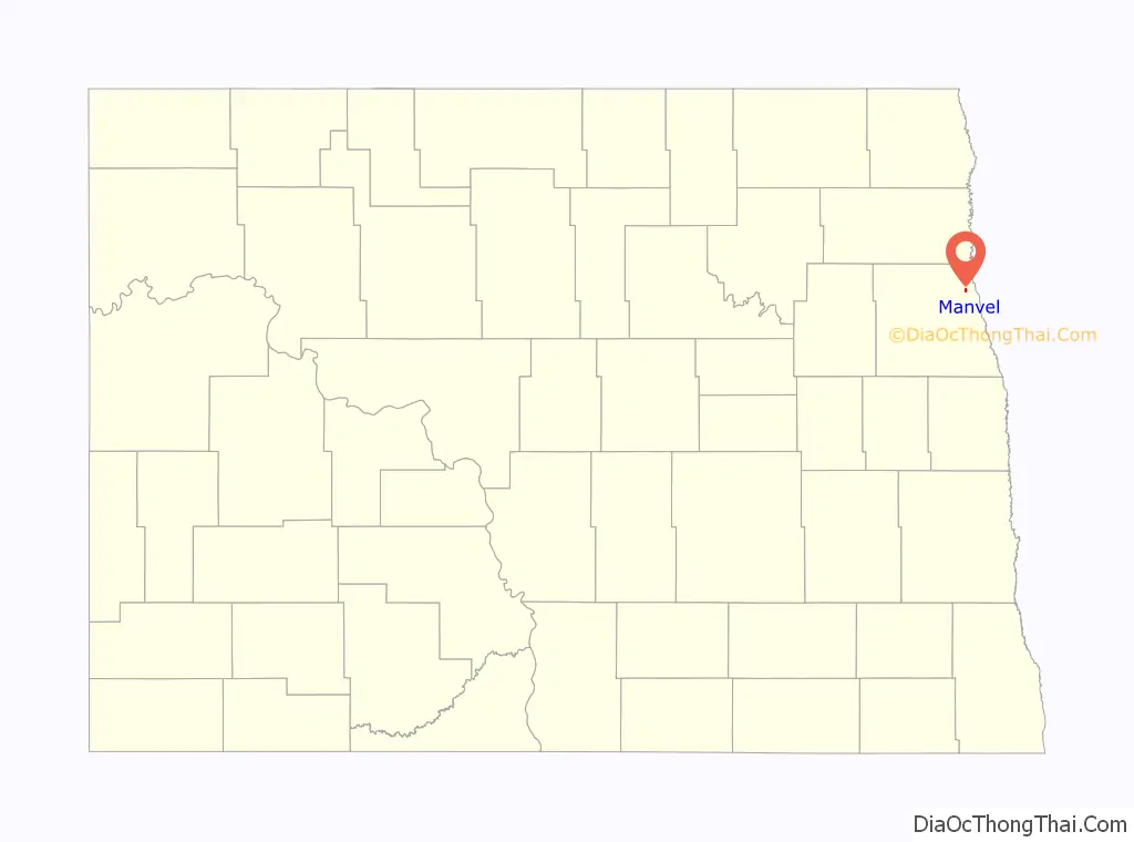
| State: | North Dakota |
| County: | Grand Forks County |
| Founded: | 1881 |
| Elevation: | 820 ft (250 m) |
| Total Area: | 0.29 sq mi (0.74 km²) |
| Land Area: | 0.29 sq mi (0.74 km²) |
| Water Area: | 0.00 sq mi (0.00 km²) |
| Total Population: | 377 |
| Population Density: | 1,318.18/sq mi (509.11/km²) |
| ZIP code: | 58256 |
| Area code: | 701 |
| FIPS code: | 3850420 |
| GNISfeature ID: | 1030090 |
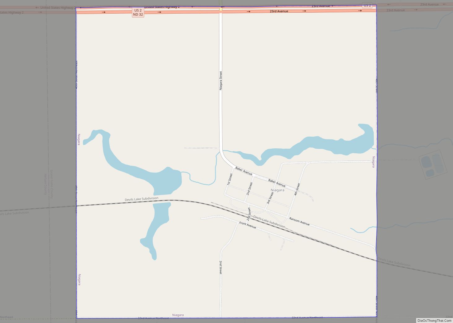
Online Interactive Map
Click on ![]() to view map in "full screen" mode.
to view map in "full screen" mode.
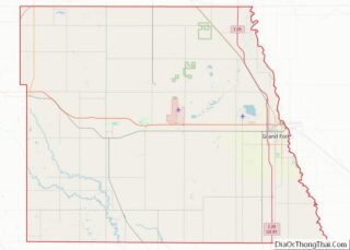
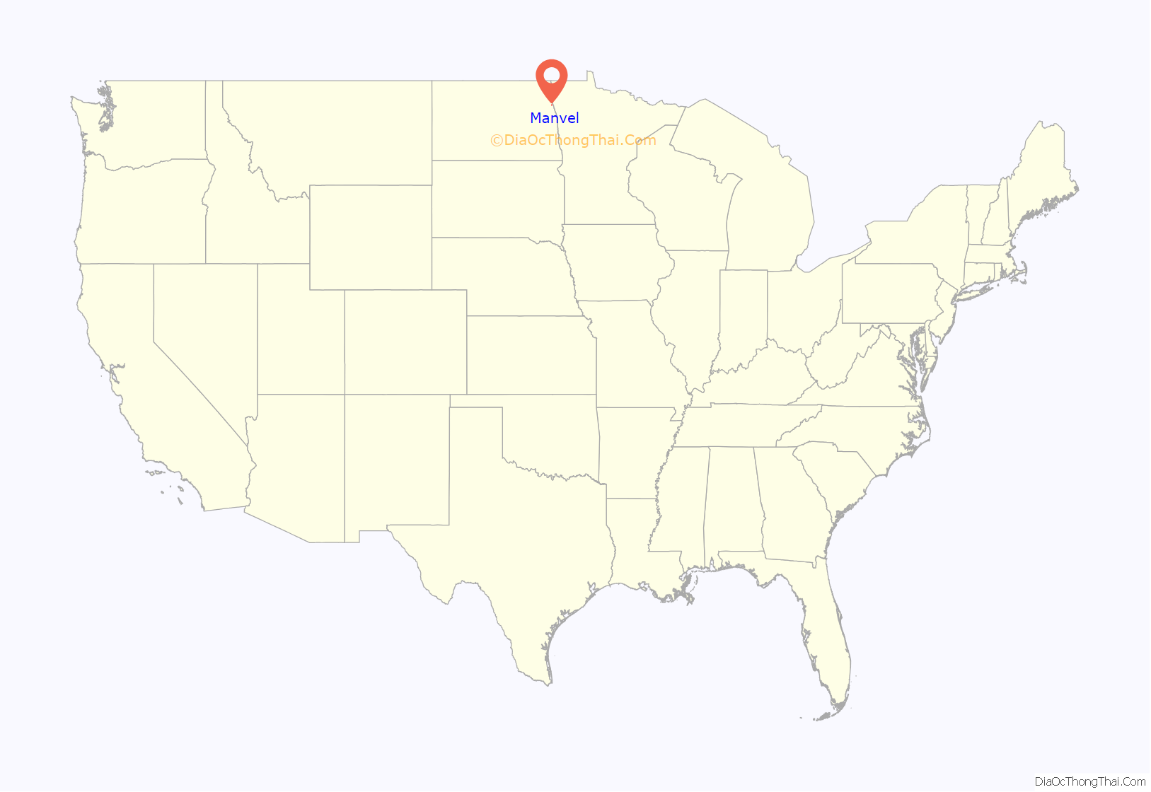
Manvel location map. Where is Manvel city?
History
The first settlement at Manvel was made in the 1860s on a stagecoach route. Manvel was laid out in 1881 when the railroad was extended to that point. The city was named for a Great Northern Railway passenger agent named Allen A. Manvel. A post office has been in operation at Manvel since 1882.
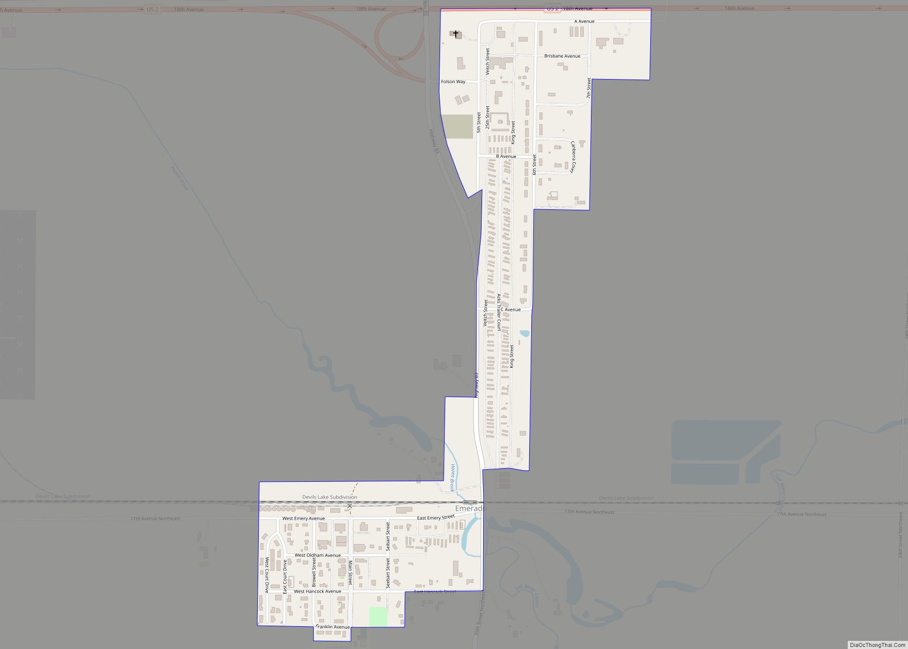
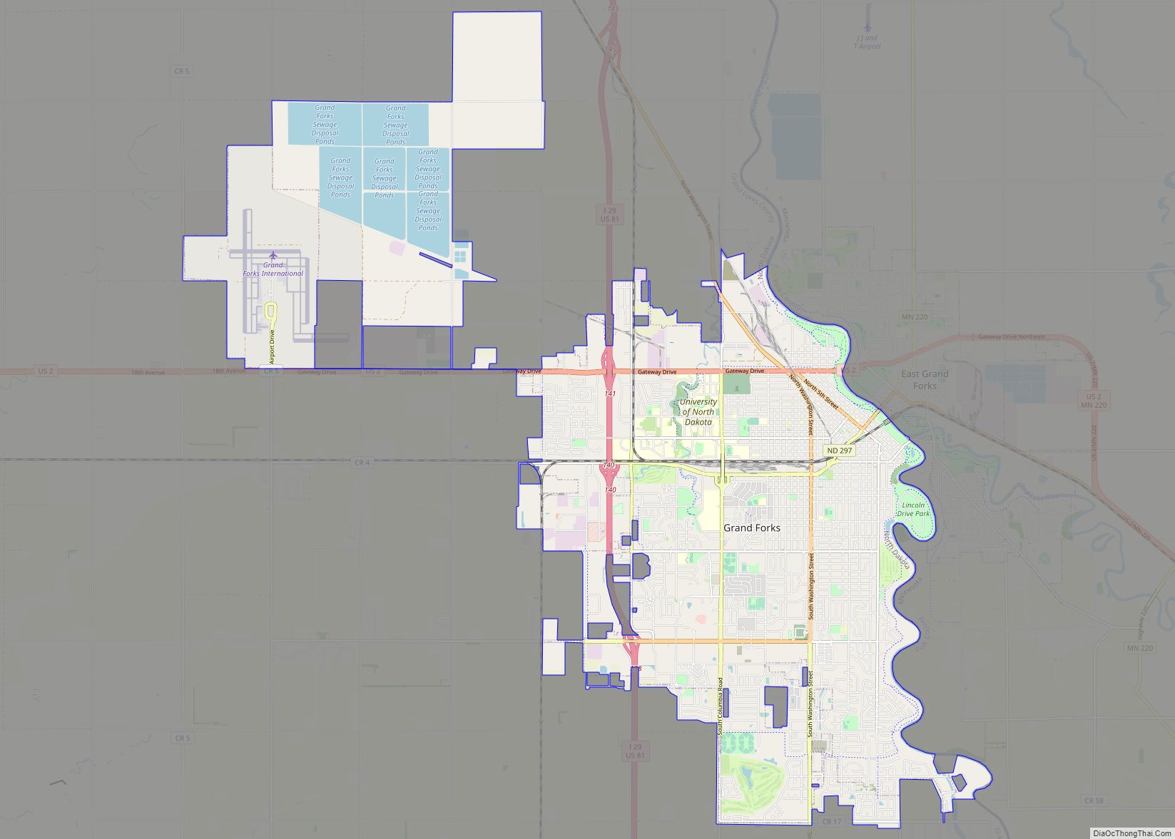
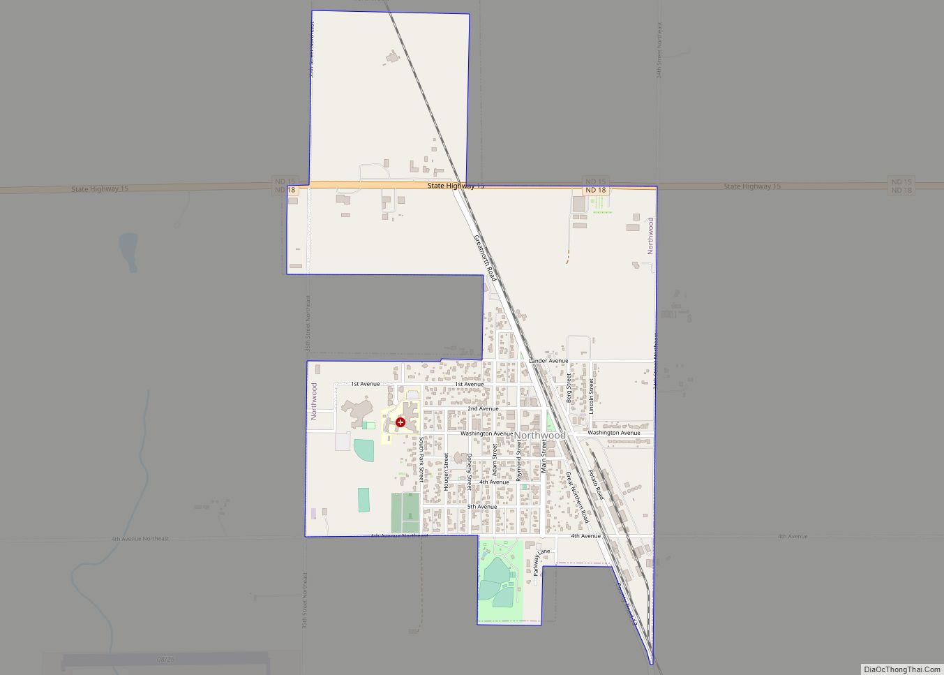
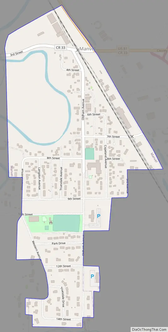
Manvel Road Map
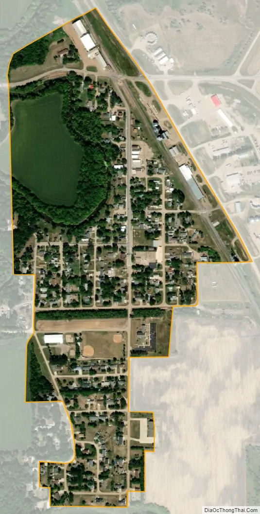
Manvel city Satellite Map
Geography
Manvel is located at 48°4′19″N 97°10′39″W / 48.07194°N 97.17750°W / 48.07194; -97.17750 (48.071820, -97.177482).
According to the United States Census Bureau, the city has a total area of 0.29 square miles (0.75 km), all land.
See also
Map of North Dakota State and its subdivision:- Adams
- Barnes
- Benson
- Billings
- Bottineau
- Bowman
- Burke
- Burleigh
- Cass
- Cavalier
- Dickey
- Divide
- Dunn
- Eddy
- Emmons
- Foster
- Golden Valley
- Grand Forks
- Grant
- Griggs
- Hettinger
- Kidder
- Lamoure
- Logan
- McHenry
- McIntosh
- McKenzie
- McLean
- Mercer
- Morton
- Mountrail
- Nelson
- Oliver
- Pembina
- Pierce
- Ramsey
- Ransom
- Renville
- Richland
- Rolette
- Sargent
- Sheridan
- Sioux
- Slope
- Stark
- Steele
- Stutsman
- Towner
- Traill
- Walsh
- Ward
- Wells
- Williams
- Alabama
- Alaska
- Arizona
- Arkansas
- California
- Colorado
- Connecticut
- Delaware
- District of Columbia
- Florida
- Georgia
- Hawaii
- Idaho
- Illinois
- Indiana
- Iowa
- Kansas
- Kentucky
- Louisiana
- Maine
- Maryland
- Massachusetts
- Michigan
- Minnesota
- Mississippi
- Missouri
- Montana
- Nebraska
- Nevada
- New Hampshire
- New Jersey
- New Mexico
- New York
- North Carolina
- North Dakota
- Ohio
- Oklahoma
- Oregon
- Pennsylvania
- Rhode Island
- South Carolina
- South Dakota
- Tennessee
- Texas
- Utah
- Vermont
- Virginia
- Washington
- West Virginia
- Wisconsin
- Wyoming