Mapleton is a city in Cass County, North Dakota, United States. It sits on the banks of the Maple River. The population was 1,320 at the 2020 census. Mapleton serves as a bedroom community of the Fargo-Moorhead metropolitan area. The core cities are ten miles to the east of Mapleton.
| Name: | Mapleton city |
|---|---|
| LSAD Code: | 25 |
| LSAD Description: | city (suffix) |
| State: | North Dakota |
| County: | Cass County |
| Founded: | 1875 |
| Elevation: | 906 ft (276 m) |
| Total Area: | 3.91 sq mi (10.13 km²) |
| Land Area: | 3.91 sq mi (10.13 km²) |
| Water Area: | 0.00 sq mi (0.00 km²) |
| Total Population: | 1,320 |
| Population Density: | 337.51/sq mi (130.33/km²) |
| ZIP code: | 58059 |
| Area code: | 701 |
| FIPS code: | 3850580 |
| GNISfeature ID: | 1030095 |
| Website: | mapletonnd.com |
Online Interactive Map
Click on ![]() to view map in "full screen" mode.
to view map in "full screen" mode.
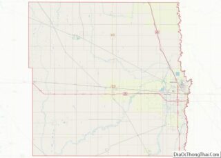
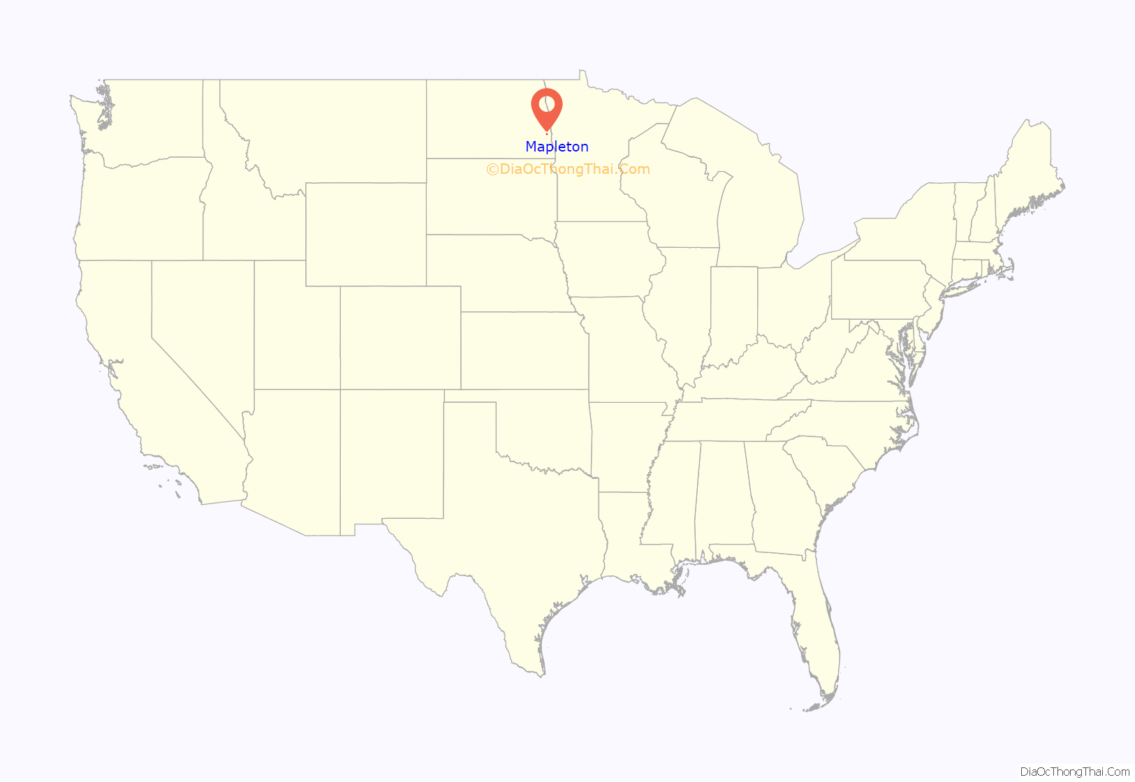
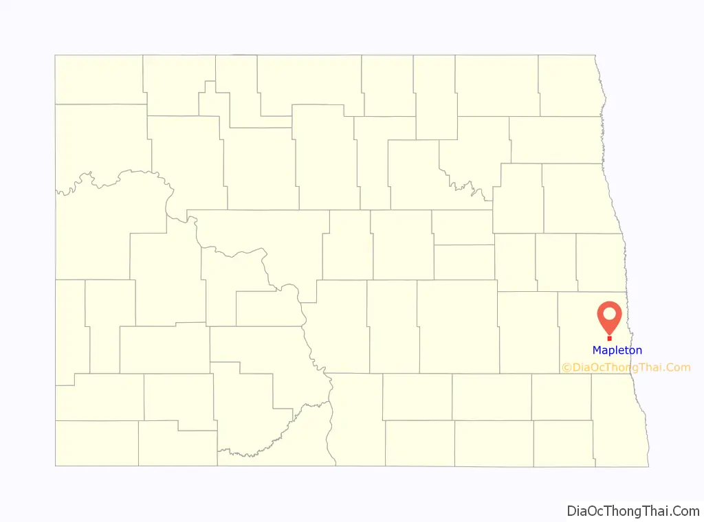
Mapleton location map. Where is Mapleton city?
History
Mapleton was platted in 1876, soon after the railroad was extended to that point. The city took its name from the Maple River. A post office has been in operation at Mapleton since 1875.
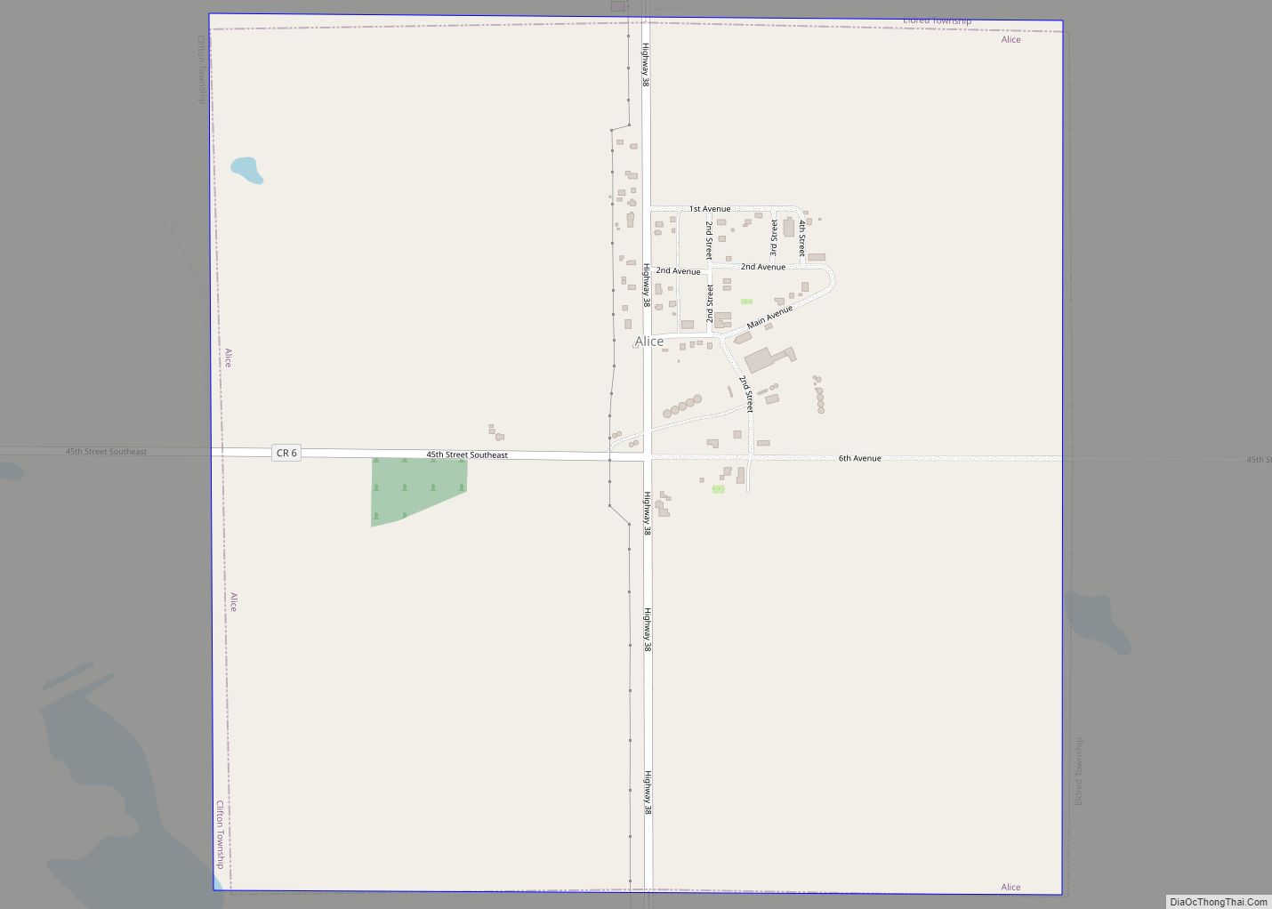
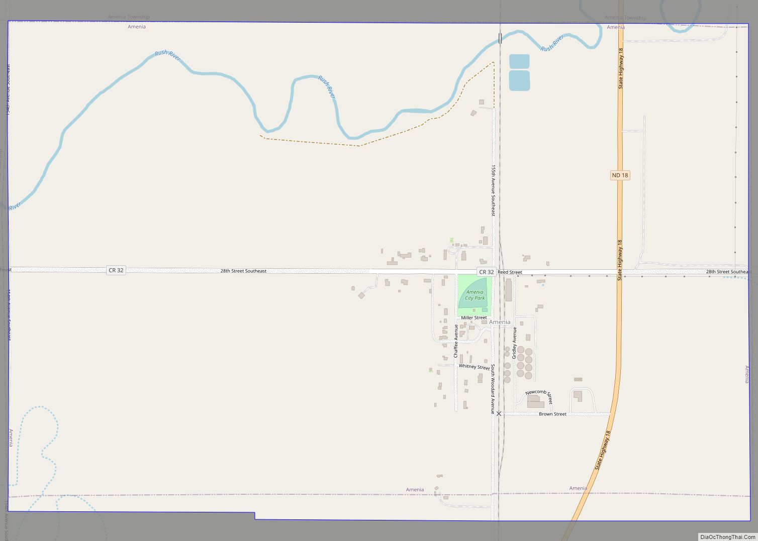
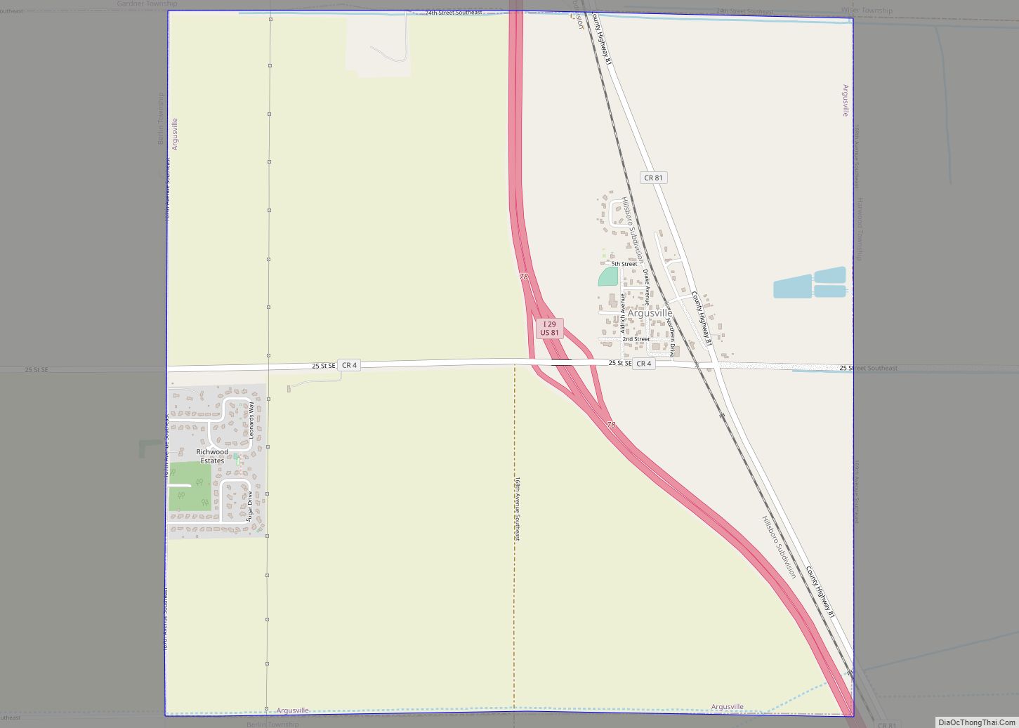
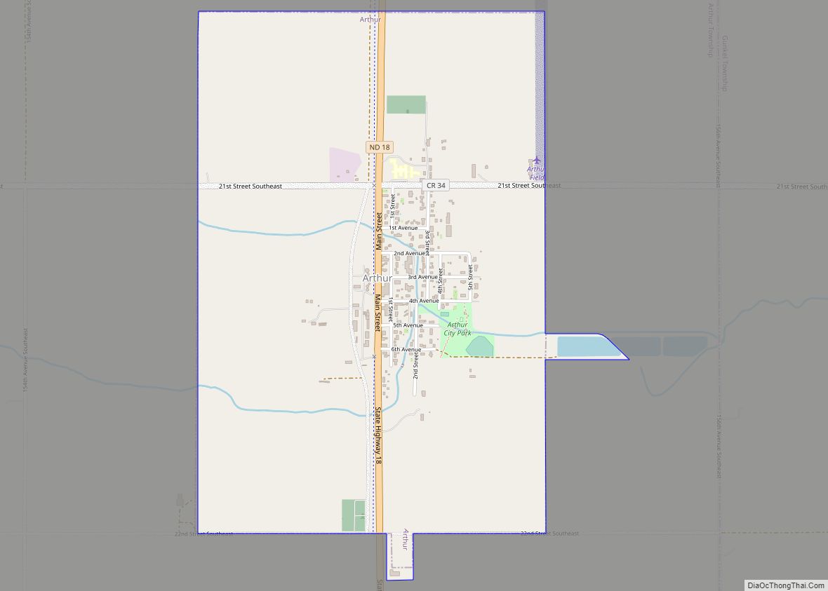
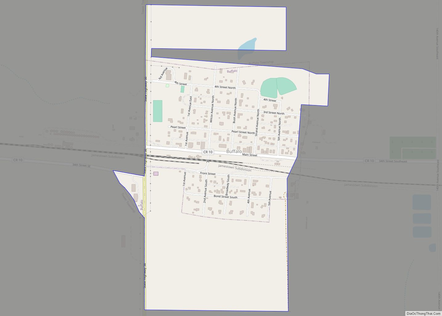
Mapleton Road Map
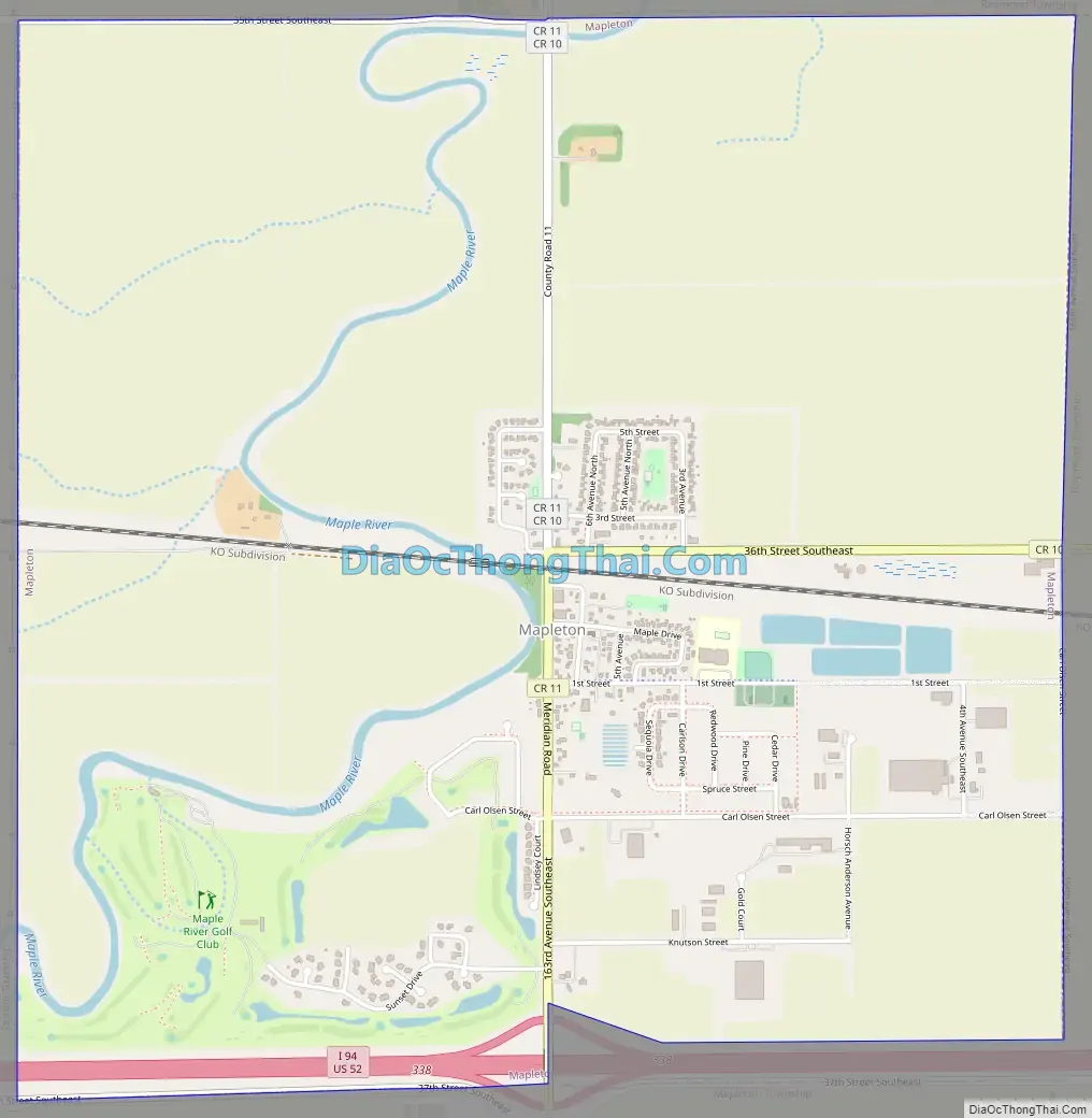
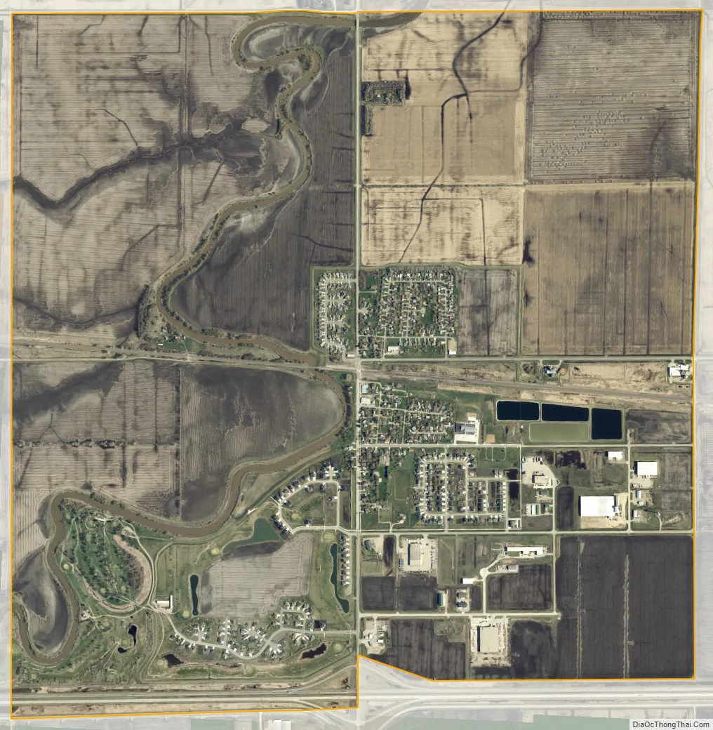
Mapleton city Satellite Map
Geography
Mapleton is located at 46°53′24″N 97°3′8″W / 46.89000°N 97.05222°W / 46.89000; -97.05222 (46.890002, −97.052112).
According to the United States Census Bureau, the city has a total area of 4.00 square miles (10.36 km), all land.
See also
Map of North Dakota State and its subdivision:- Adams
- Barnes
- Benson
- Billings
- Bottineau
- Bowman
- Burke
- Burleigh
- Cass
- Cavalier
- Dickey
- Divide
- Dunn
- Eddy
- Emmons
- Foster
- Golden Valley
- Grand Forks
- Grant
- Griggs
- Hettinger
- Kidder
- Lamoure
- Logan
- McHenry
- McIntosh
- McKenzie
- McLean
- Mercer
- Morton
- Mountrail
- Nelson
- Oliver
- Pembina
- Pierce
- Ramsey
- Ransom
- Renville
- Richland
- Rolette
- Sargent
- Sheridan
- Sioux
- Slope
- Stark
- Steele
- Stutsman
- Towner
- Traill
- Walsh
- Ward
- Wells
- Williams
- Alabama
- Alaska
- Arizona
- Arkansas
- California
- Colorado
- Connecticut
- Delaware
- District of Columbia
- Florida
- Georgia
- Hawaii
- Idaho
- Illinois
- Indiana
- Iowa
- Kansas
- Kentucky
- Louisiana
- Maine
- Maryland
- Massachusetts
- Michigan
- Minnesota
- Mississippi
- Missouri
- Montana
- Nebraska
- Nevada
- New Hampshire
- New Jersey
- New Mexico
- New York
- North Carolina
- North Dakota
- Ohio
- Oklahoma
- Oregon
- Pennsylvania
- Rhode Island
- South Carolina
- South Dakota
- Tennessee
- Texas
- Utah
- Vermont
- Virginia
- Washington
- West Virginia
- Wisconsin
- Wyoming