Marion is a city in LaMoure County, North Dakota, United States. The population was 125 at the 2020 census.
| Name: | Marion city |
|---|---|
| LSAD Code: | 25 |
| LSAD Description: | city (suffix) |
| State: | North Dakota |
| County: | LaMoure County |
| Founded: | 1900 |
| Elevation: | 1,463 ft (446 m) |
| Total Area: | 1.00 sq mi (2.60 km²) |
| Land Area: | 0.84 sq mi (2.17 km²) |
| Water Area: | 0.17 sq mi (0.43 km²) |
| Total Population: | 125 |
| Population Density: | 149.16/sq mi (57.61/km²) |
| ZIP code: | 58466 |
| Area code: | 701 |
| FIPS code: | 3850780 |
| GNISfeature ID: | 1033654 |
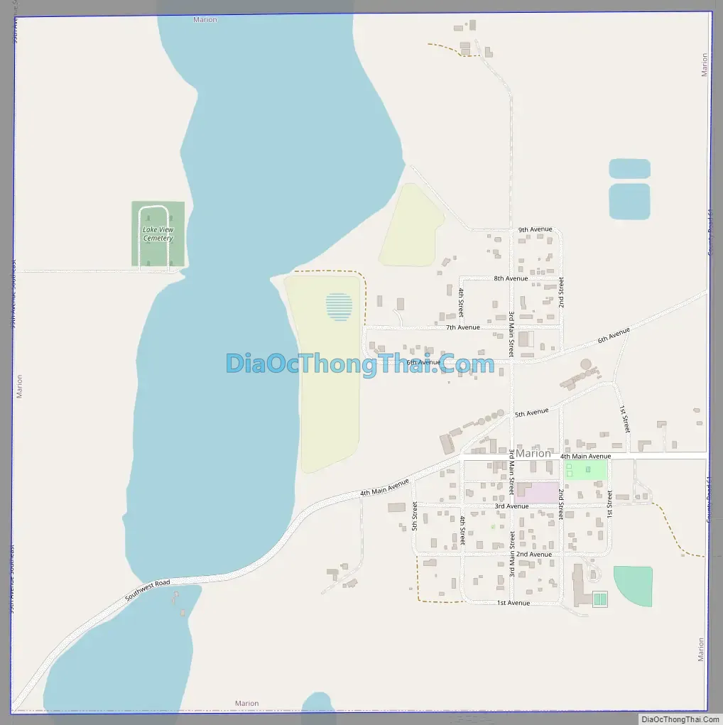
Online Interactive Map
Click on ![]() to view map in "full screen" mode.
to view map in "full screen" mode.
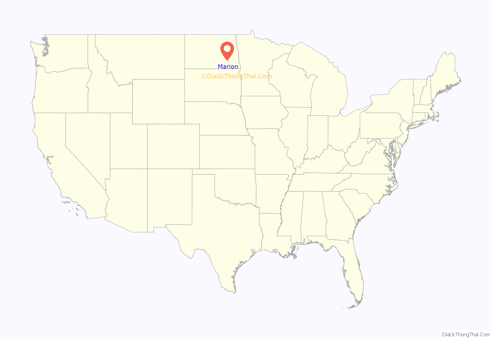
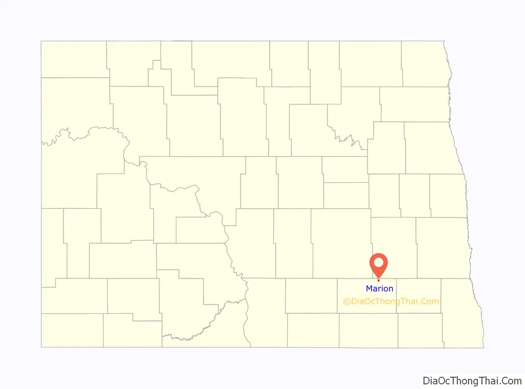
Marion location map. Where is Marion city?
History
The city was founded in 1900 as Elmo, but changed its name to Marion in 1902. The new name came from Marion Mellen, daughter of Northern Pacific Railway president Charles Sanger Mellen. Marion was located at the end of a Northern Pacific branch line starting in Casselton and known as the “lady line” due to the many cities bearing female names located alongside the tracks. The line was in place in Marion until 2002, when eventual owner Red River Valley & Western filed for abandonment.
Marion Road Map
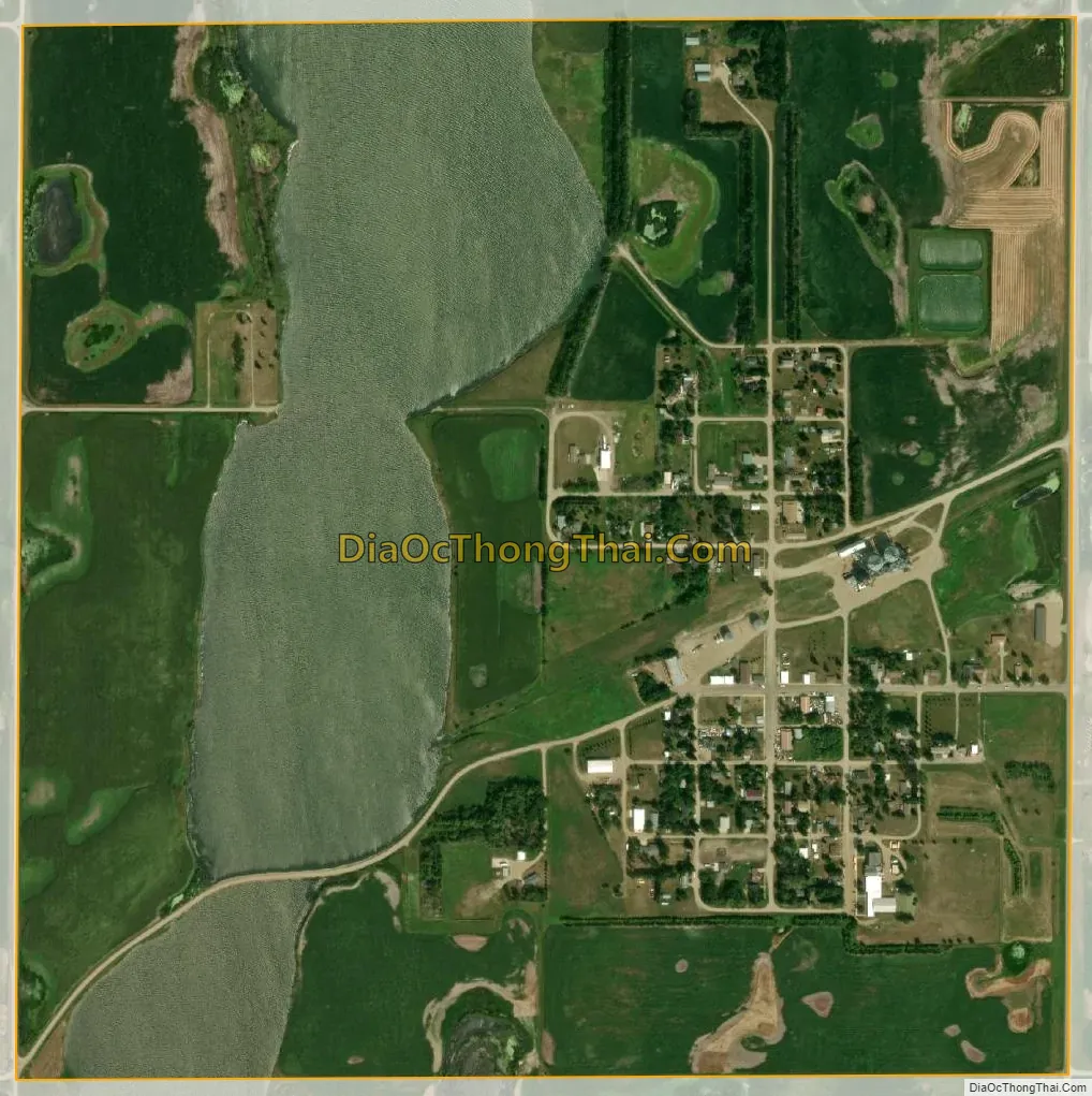
Marion city Satellite Map
Geography
Marion is located at 46°36′26″N 98°20′1″W / 46.60722°N 98.33361°W / 46.60722; -98.33361 (46.607360, -98.333510).
According to the United States Census Bureau, the city has a total area of 1.01 square miles (2.62 km), of which 0.84 square miles (2.18 km) is land and 0.17 square miles (0.44 km) is water.
See also
Map of North Dakota State and its subdivision:- Adams
- Barnes
- Benson
- Billings
- Bottineau
- Bowman
- Burke
- Burleigh
- Cass
- Cavalier
- Dickey
- Divide
- Dunn
- Eddy
- Emmons
- Foster
- Golden Valley
- Grand Forks
- Grant
- Griggs
- Hettinger
- Kidder
- Lamoure
- Logan
- McHenry
- McIntosh
- McKenzie
- McLean
- Mercer
- Morton
- Mountrail
- Nelson
- Oliver
- Pembina
- Pierce
- Ramsey
- Ransom
- Renville
- Richland
- Rolette
- Sargent
- Sheridan
- Sioux
- Slope
- Stark
- Steele
- Stutsman
- Towner
- Traill
- Walsh
- Ward
- Wells
- Williams
- Alabama
- Alaska
- Arizona
- Arkansas
- California
- Colorado
- Connecticut
- Delaware
- District of Columbia
- Florida
- Georgia
- Hawaii
- Idaho
- Illinois
- Indiana
- Iowa
- Kansas
- Kentucky
- Louisiana
- Maine
- Maryland
- Massachusetts
- Michigan
- Minnesota
- Mississippi
- Missouri
- Montana
- Nebraska
- Nevada
- New Hampshire
- New Jersey
- New Mexico
- New York
- North Carolina
- North Dakota
- Ohio
- Oklahoma
- Oregon
- Pennsylvania
- Rhode Island
- South Carolina
- South Dakota
- Tennessee
- Texas
- Utah
- Vermont
- Virginia
- Washington
- West Virginia
- Wisconsin
- Wyoming


