Palermo (/ˈpælərmoʊ/ PAL-ər-moh) is a city in Mountrail County, North Dakota, United States. The population was 125 at the 2020 census.
| Name: | Palermo city |
|---|---|
| LSAD Code: | 25 |
| LSAD Description: | city (suffix) |
| State: | North Dakota |
| County: | Mountrail County |
| Founded: | 1902 |
| Elevation: | 2,208 ft (673 m) |
| Total Area: | 2.25 sq mi (5.84 km²) |
| Land Area: | 2.25 sq mi (5.83 km²) |
| Water Area: | 0.01 sq mi (0.01 km²) |
| Total Population: | 125 |
| Population Density: | 55.56/sq mi (21.45/km²) |
| ZIP code: | 58769 |
| Area code: | 701 |
| FIPS code: | 3860620 |
| GNISfeature ID: | 1030621 |
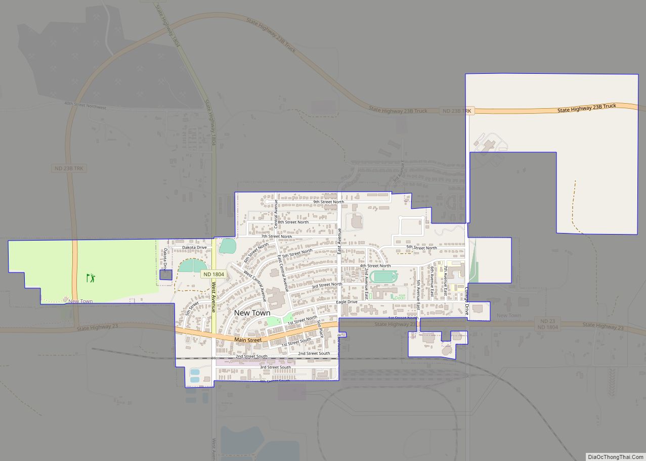
Online Interactive Map
Click on ![]() to view map in "full screen" mode.
to view map in "full screen" mode.
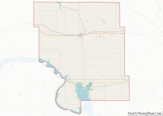
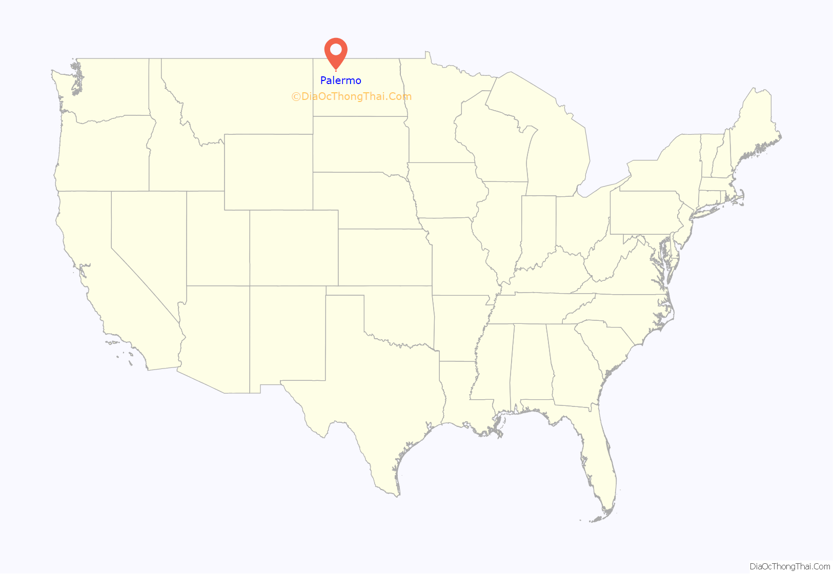
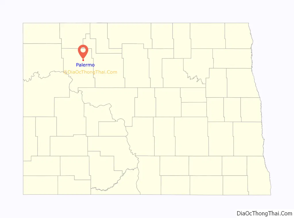
Palermo location map. Where is Palermo city?
History
Palermo was founded in 1902. The city’s name is a transfer from Palermo, in Sicily.
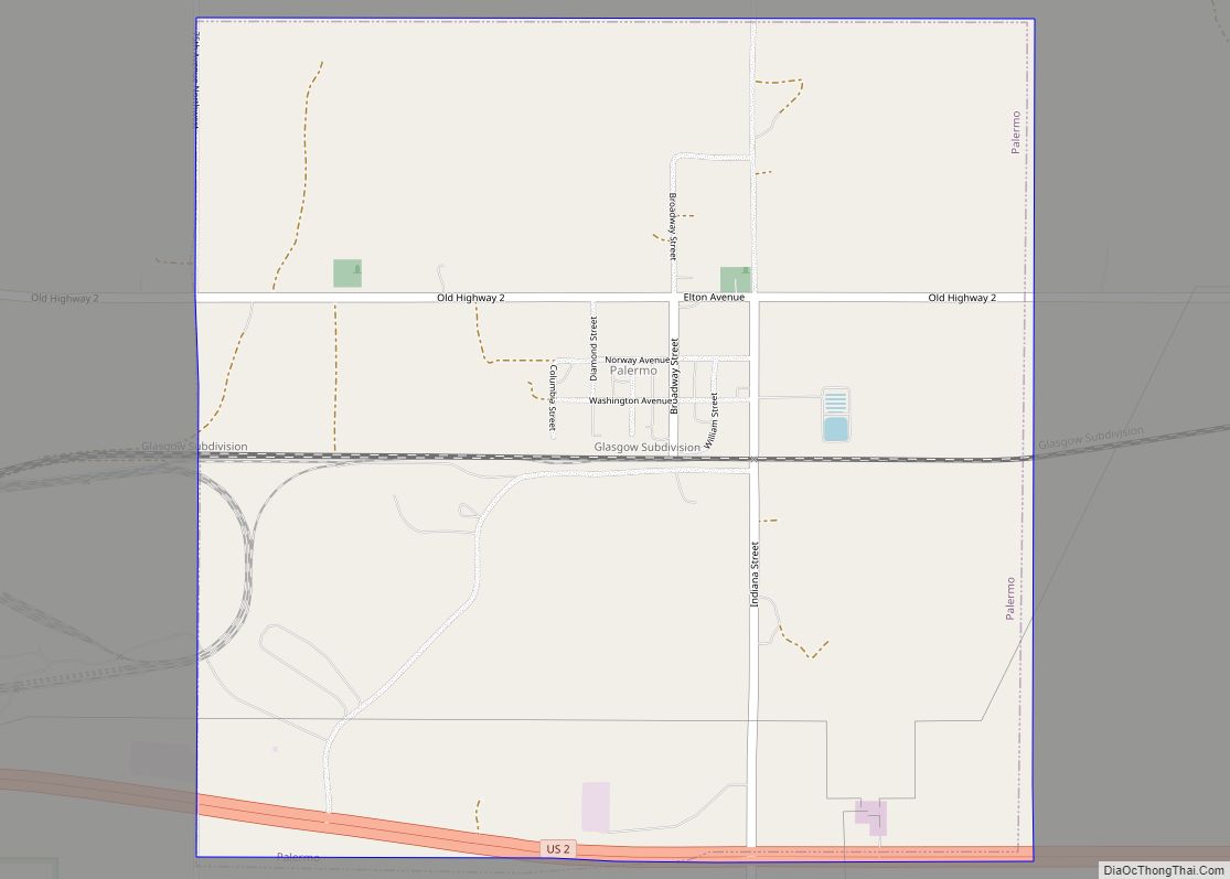
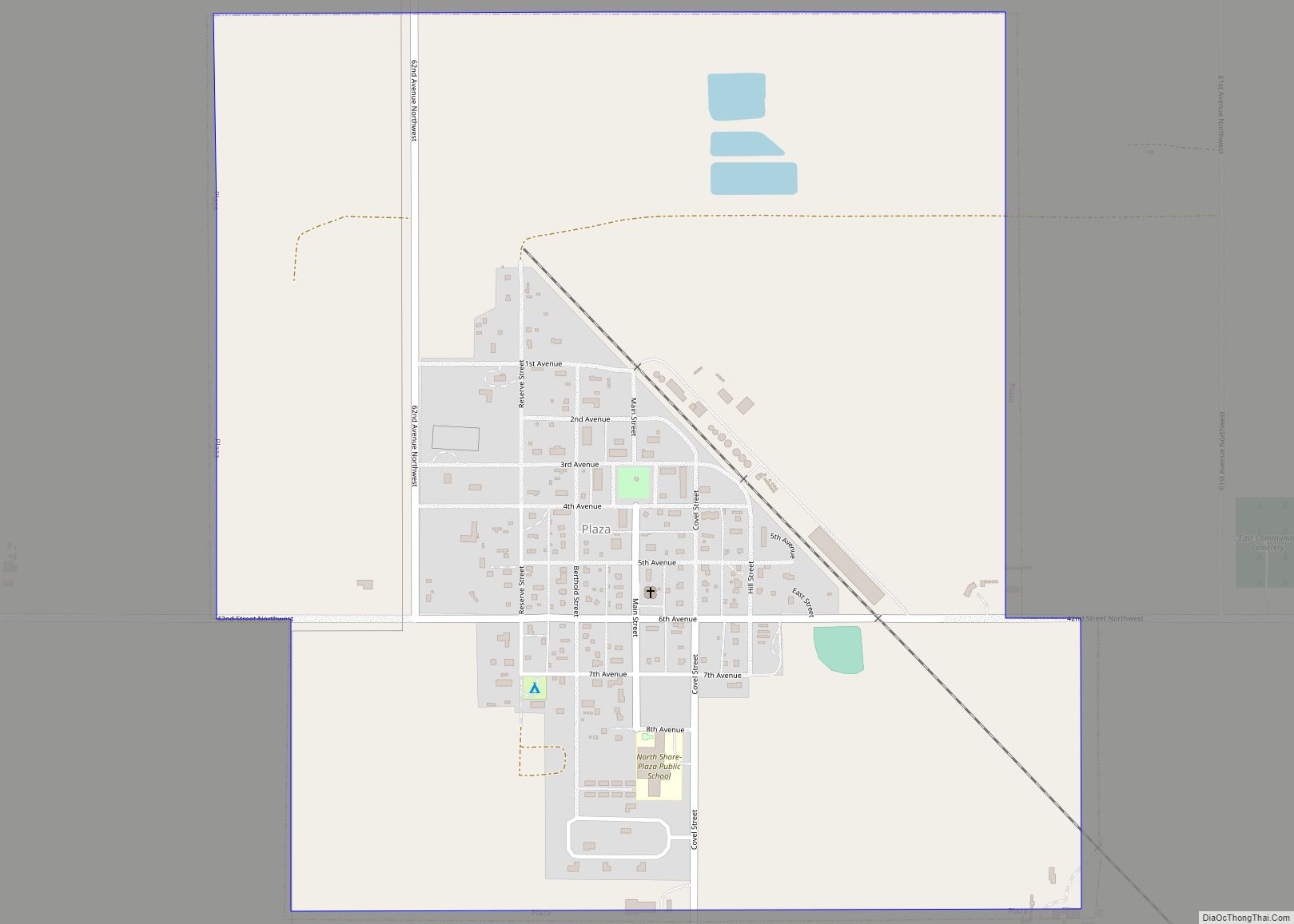
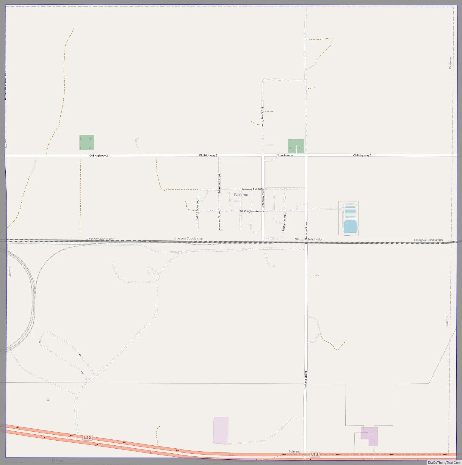
Palermo Road Map
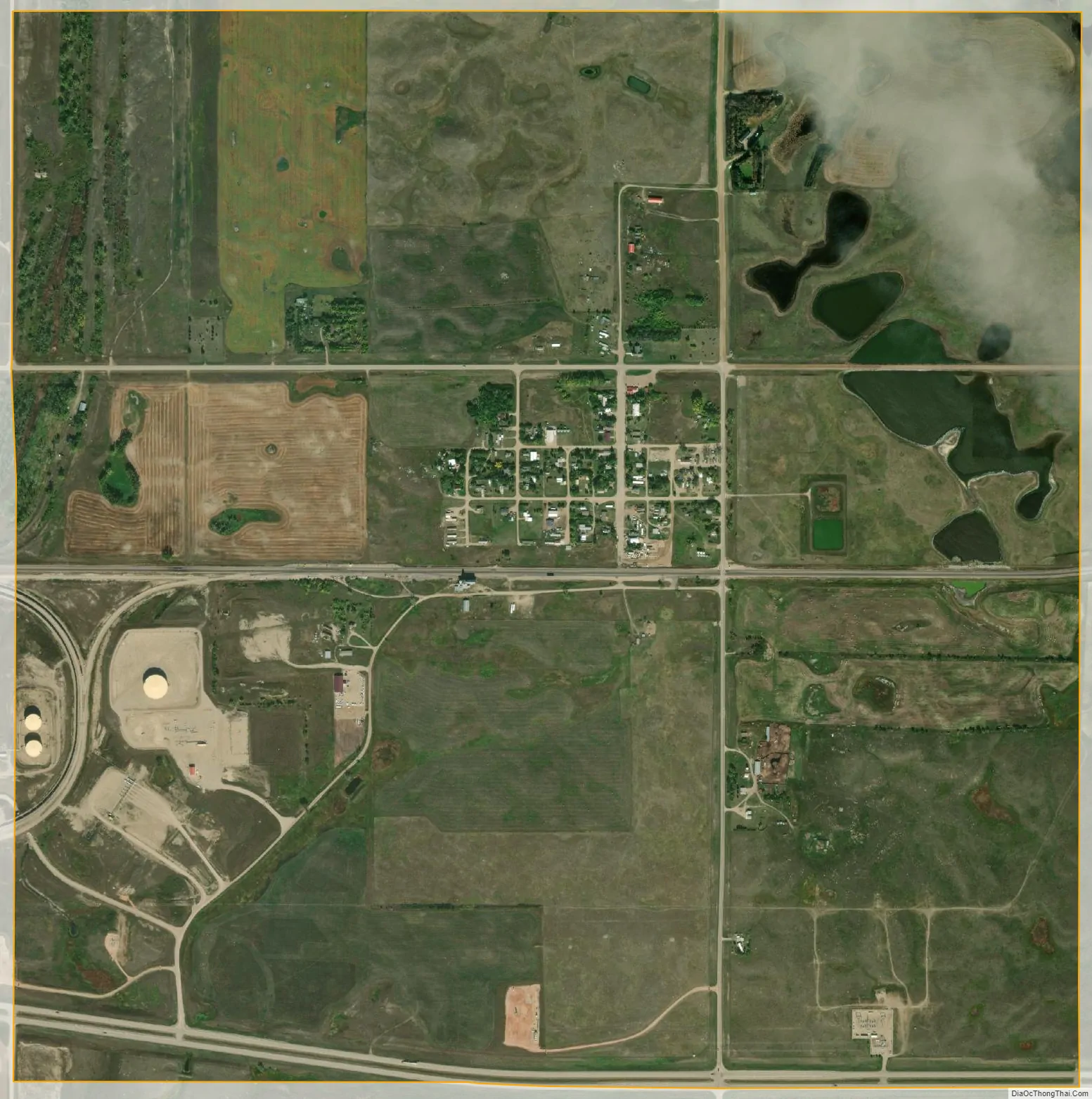
Palermo city Satellite Map
Geography
Palermo is located at 48°20′22″N 102°13′47″W / 48.339412°N 102.229796°W / 48.339412; -102.229796.
According to the United States Census Bureau, the city has a total area of 2.21 square miles (5.72 km), all land.
See also
Map of North Dakota State and its subdivision:- Adams
- Barnes
- Benson
- Billings
- Bottineau
- Bowman
- Burke
- Burleigh
- Cass
- Cavalier
- Dickey
- Divide
- Dunn
- Eddy
- Emmons
- Foster
- Golden Valley
- Grand Forks
- Grant
- Griggs
- Hettinger
- Kidder
- Lamoure
- Logan
- McHenry
- McIntosh
- McKenzie
- McLean
- Mercer
- Morton
- Mountrail
- Nelson
- Oliver
- Pembina
- Pierce
- Ramsey
- Ransom
- Renville
- Richland
- Rolette
- Sargent
- Sheridan
- Sioux
- Slope
- Stark
- Steele
- Stutsman
- Towner
- Traill
- Walsh
- Ward
- Wells
- Williams
- Alabama
- Alaska
- Arizona
- Arkansas
- California
- Colorado
- Connecticut
- Delaware
- District of Columbia
- Florida
- Georgia
- Hawaii
- Idaho
- Illinois
- Indiana
- Iowa
- Kansas
- Kentucky
- Louisiana
- Maine
- Maryland
- Massachusetts
- Michigan
- Minnesota
- Mississippi
- Missouri
- Montana
- Nebraska
- Nevada
- New Hampshire
- New Jersey
- New Mexico
- New York
- North Carolina
- North Dakota
- Ohio
- Oklahoma
- Oregon
- Pennsylvania
- Rhode Island
- South Carolina
- South Dakota
- Tennessee
- Texas
- Utah
- Vermont
- Virginia
- Washington
- West Virginia
- Wisconsin
- Wyoming