Reeder is a city in Adams County, North Dakota, United States. The population was 125 at the 2020 census.
Reeder was founded in 1907 along the Chicago, Milwaukee, St. Paul and Pacific Railroad and named after E. O. Reeder, the railroad’s assistant chief engineer. Reeder is a stop along the old Yellowstone Trail, the first transcontinental automobile highway in the Northern United States.
A strain of wheat developed by the North Dakota Agriculture Experiment Station has been named after the town.
| Name: | Reeder city |
|---|---|
| LSAD Code: | 25 |
| LSAD Description: | city (suffix) |
| State: | North Dakota |
| County: | Adams County |
| Founded: | 1908 |
| Incorporated: | 1909 |
| Elevation: | 2,812 ft (857 m) |
| Total Area: | 0.69 sq mi (1.78 km²) |
| Land Area: | 0.69 sq mi (1.78 km²) |
| Water Area: | 0.00 sq mi (0.00 km²) |
| Total Population: | 125 |
| Population Density: | 181.95/sq mi (70.29/km²) |
| ZIP code: | 58649 |
| Area code: | 701 |
| FIPS code: | 3865900 |
| GNISfeature ID: | 1030866 |
Online Interactive Map
Click on ![]() to view map in "full screen" mode.
to view map in "full screen" mode.
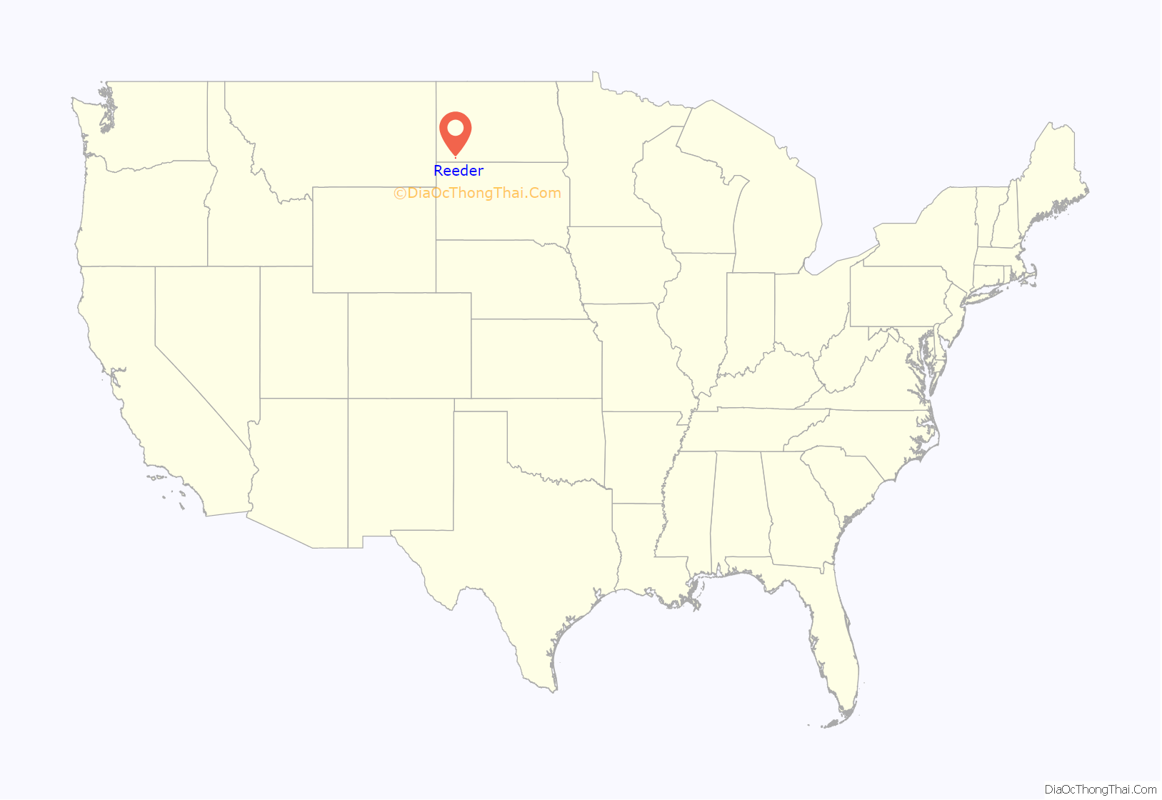
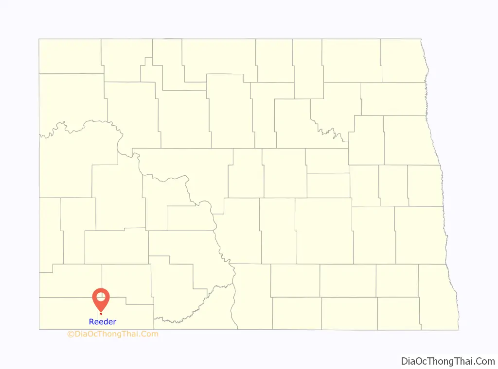
Reeder location map. Where is Reeder city?
History
In 1907, two brothers, Albert and Charles Leff, founded and operated a post office, among other enterprises, one and one-half miles east of the present town of Reeder. The Chicago, Milwaukee, St. Paul and Pacific Railroad later platted the current townsite and named it Reeder. The Leff post office was relocated to the new town March 13, 1908, and the name Leff was used until July 1, 1908.
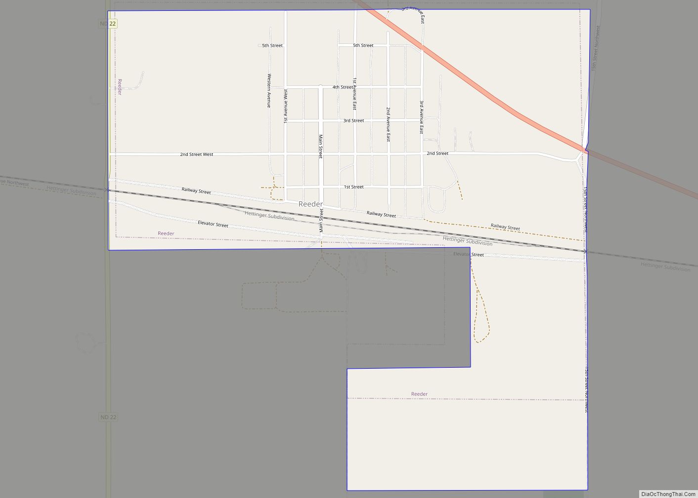
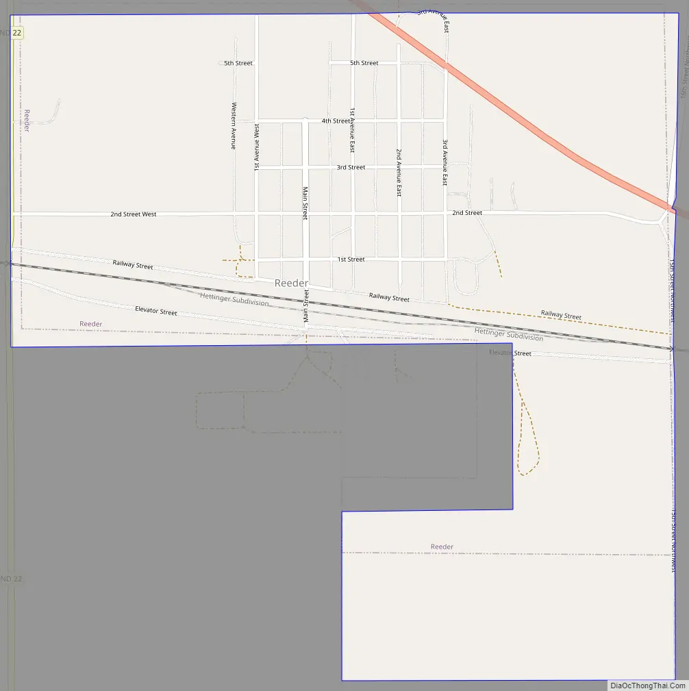
Reeder Road Map
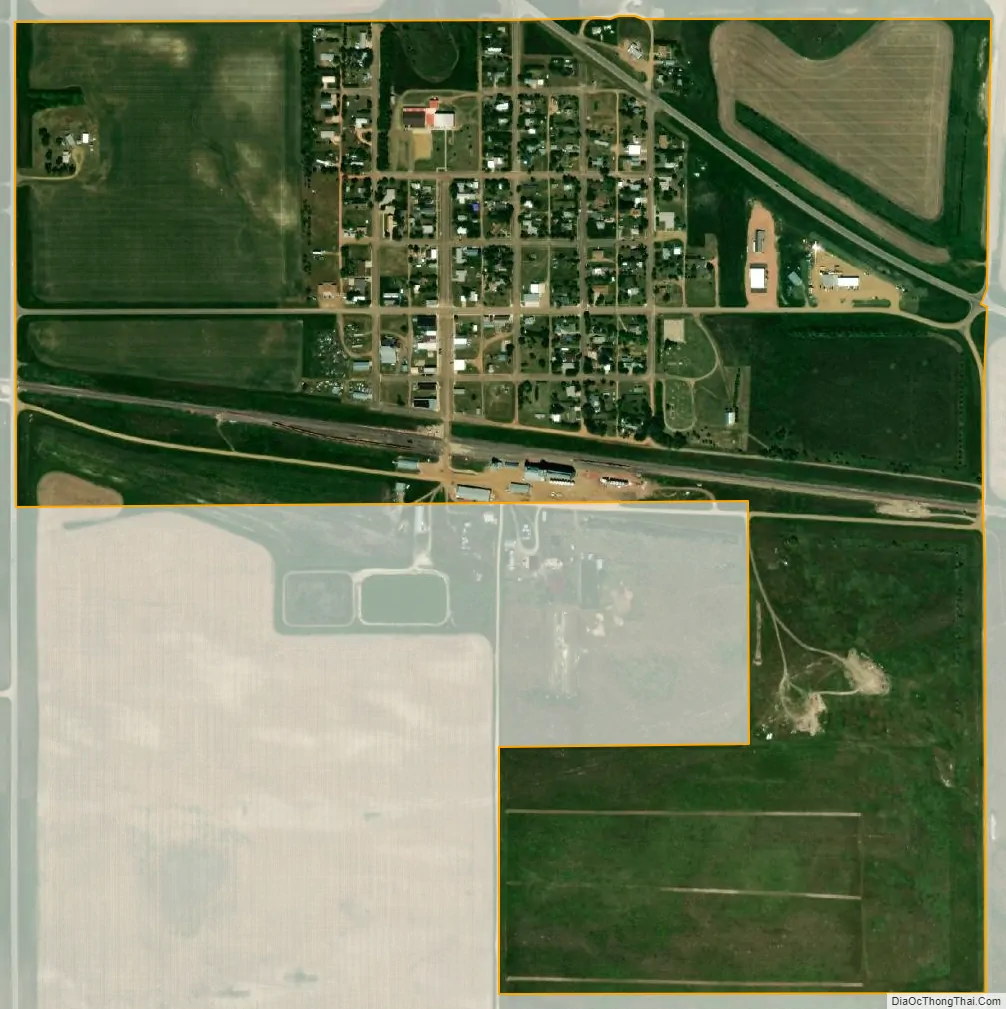
Reeder city Satellite Map
Geography
According to the United States Census Bureau, the city has a total area of 0.62 square miles (1.61 km), all land. The city is located along U.S. Highway 12 at its junction with North Dakota Highway 22.
See also
Map of North Dakota State and its subdivision:- Adams
- Barnes
- Benson
- Billings
- Bottineau
- Bowman
- Burke
- Burleigh
- Cass
- Cavalier
- Dickey
- Divide
- Dunn
- Eddy
- Emmons
- Foster
- Golden Valley
- Grand Forks
- Grant
- Griggs
- Hettinger
- Kidder
- Lamoure
- Logan
- McHenry
- McIntosh
- McKenzie
- McLean
- Mercer
- Morton
- Mountrail
- Nelson
- Oliver
- Pembina
- Pierce
- Ramsey
- Ransom
- Renville
- Richland
- Rolette
- Sargent
- Sheridan
- Sioux
- Slope
- Stark
- Steele
- Stutsman
- Towner
- Traill
- Walsh
- Ward
- Wells
- Williams
- Alabama
- Alaska
- Arizona
- Arkansas
- California
- Colorado
- Connecticut
- Delaware
- District of Columbia
- Florida
- Georgia
- Hawaii
- Idaho
- Illinois
- Indiana
- Iowa
- Kansas
- Kentucky
- Louisiana
- Maine
- Maryland
- Massachusetts
- Michigan
- Minnesota
- Mississippi
- Missouri
- Montana
- Nebraska
- Nevada
- New Hampshire
- New Jersey
- New Mexico
- New York
- North Carolina
- North Dakota
- Ohio
- Oklahoma
- Oregon
- Pennsylvania
- Rhode Island
- South Carolina
- South Dakota
- Tennessee
- Texas
- Utah
- Vermont
- Virginia
- Washington
- West Virginia
- Wisconsin
- Wyoming