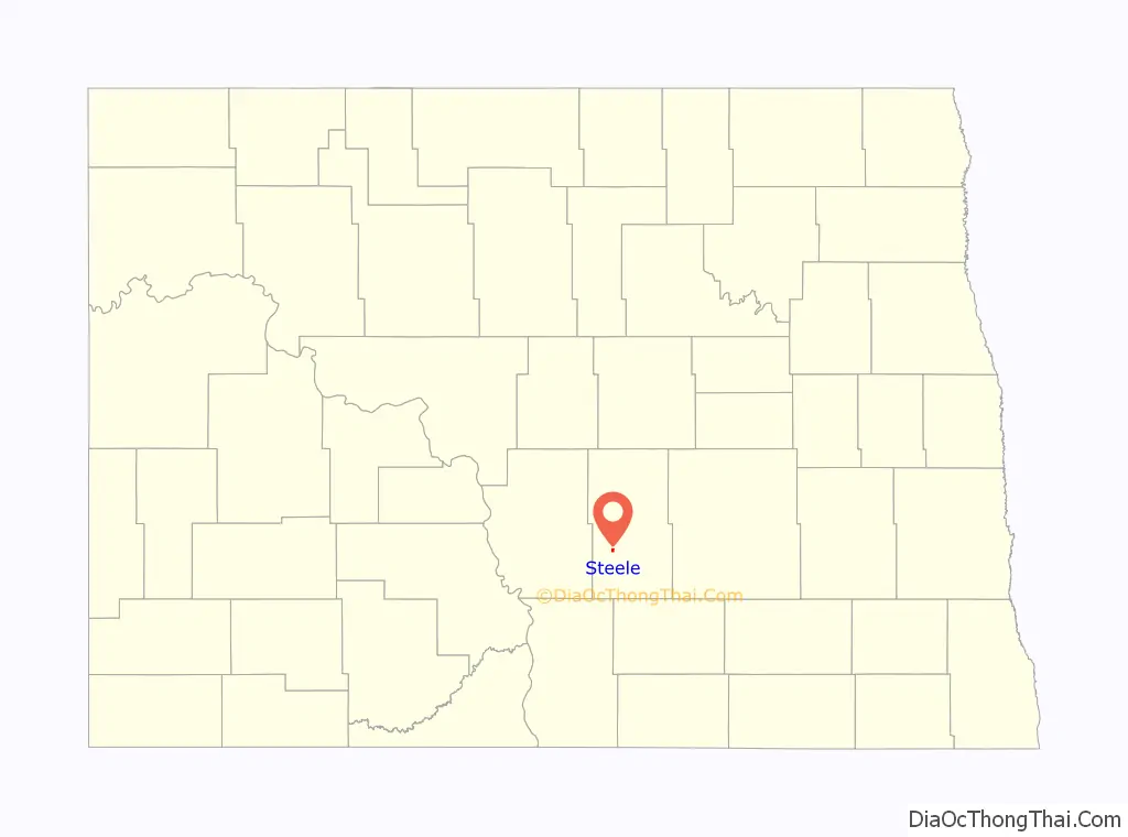
Steele is a city in Kidder County, North Dakota, United States. It is the county seat of Kidder County. The population was 665 at the 2020 census.
Although they bear the same name, the city of Steele is not in Steele County.
| Name: | Steele city |
|---|---|
| LSAD Code: | 25 |
| LSAD Description: | city (suffix) |
| State: | North Dakota |
| County: | Kidder County |
| Elevation: | 1,860 ft (567 m) |
| Total Area: | 0.56 sq mi (1.44 km²) |
| Land Area: | 0.56 sq mi (1.44 km²) |
| Water Area: | 0.00 sq mi (0.00 km²) |
| Total Population: | 665 |
| Population Density: | 1,198.20/sq mi (462.36/km²) |
| ZIP code: | 58482 |
| Area code: | 701 |
| FIPS code: | 3875780 |
| GNISfeature ID: | 1032298 |
| Website: | steelend.com |
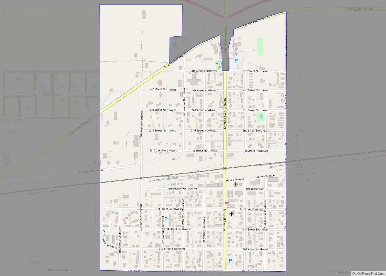
Online Interactive Map
Click on ![]() to view map in "full screen" mode.
to view map in "full screen" mode.
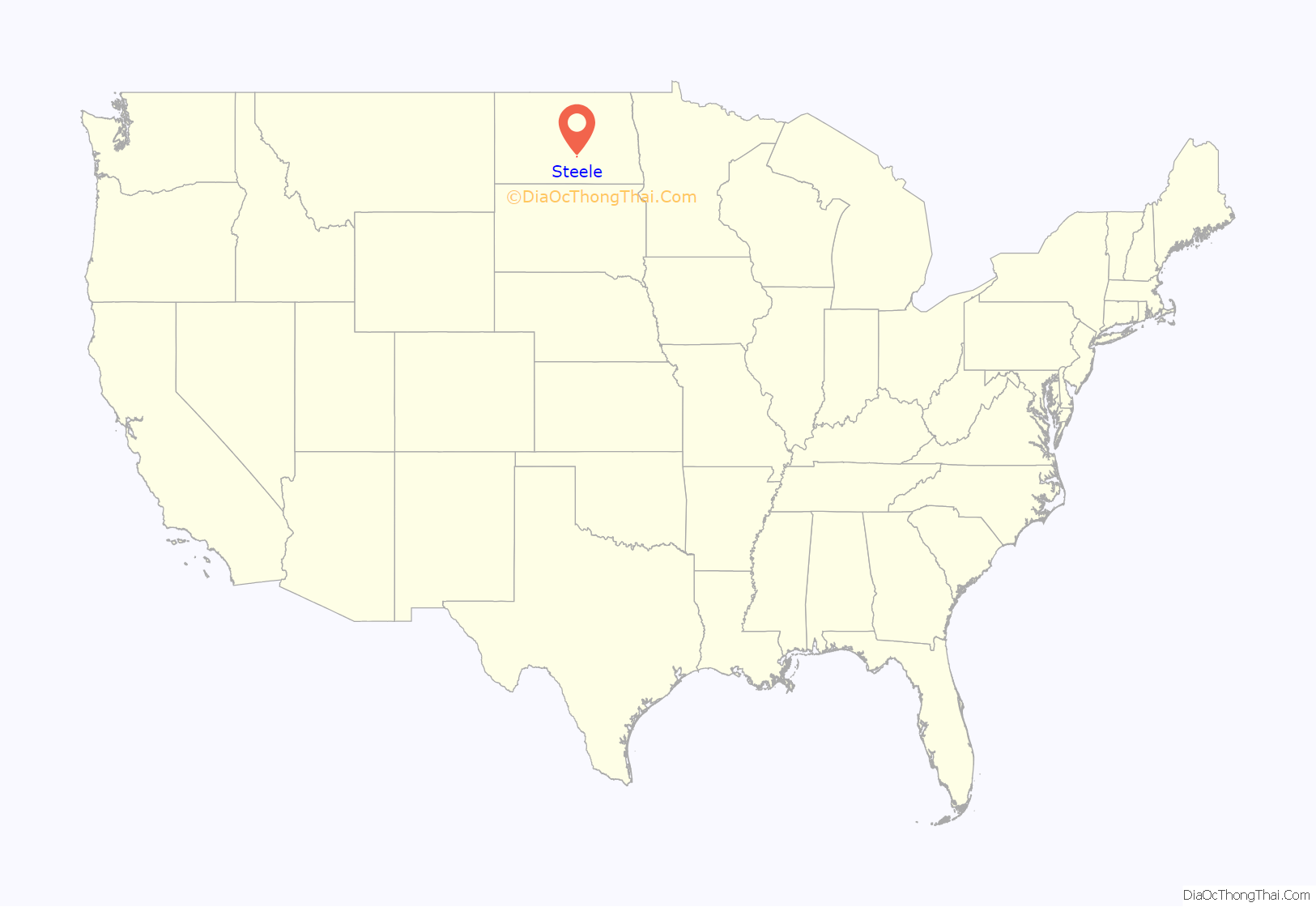
Steele location map. Where is Steele city?
History
Steele was platted in 1878 by Wilbur F. Steele, and named for him. The community got its start soon after the railroad was extended to that point. A post office has been in operation at Steele since 1880. The Kidder County Courthouse was built in 1883.
The high temperature was 121 degrees Fahrenheit in Steele, N.D. in July 1936.
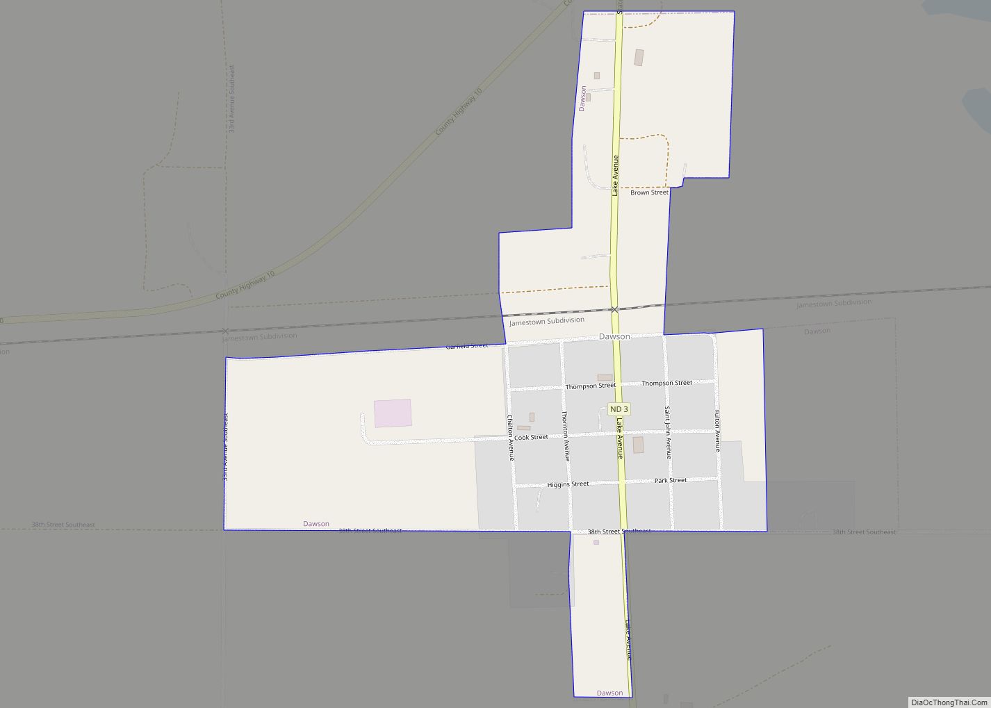
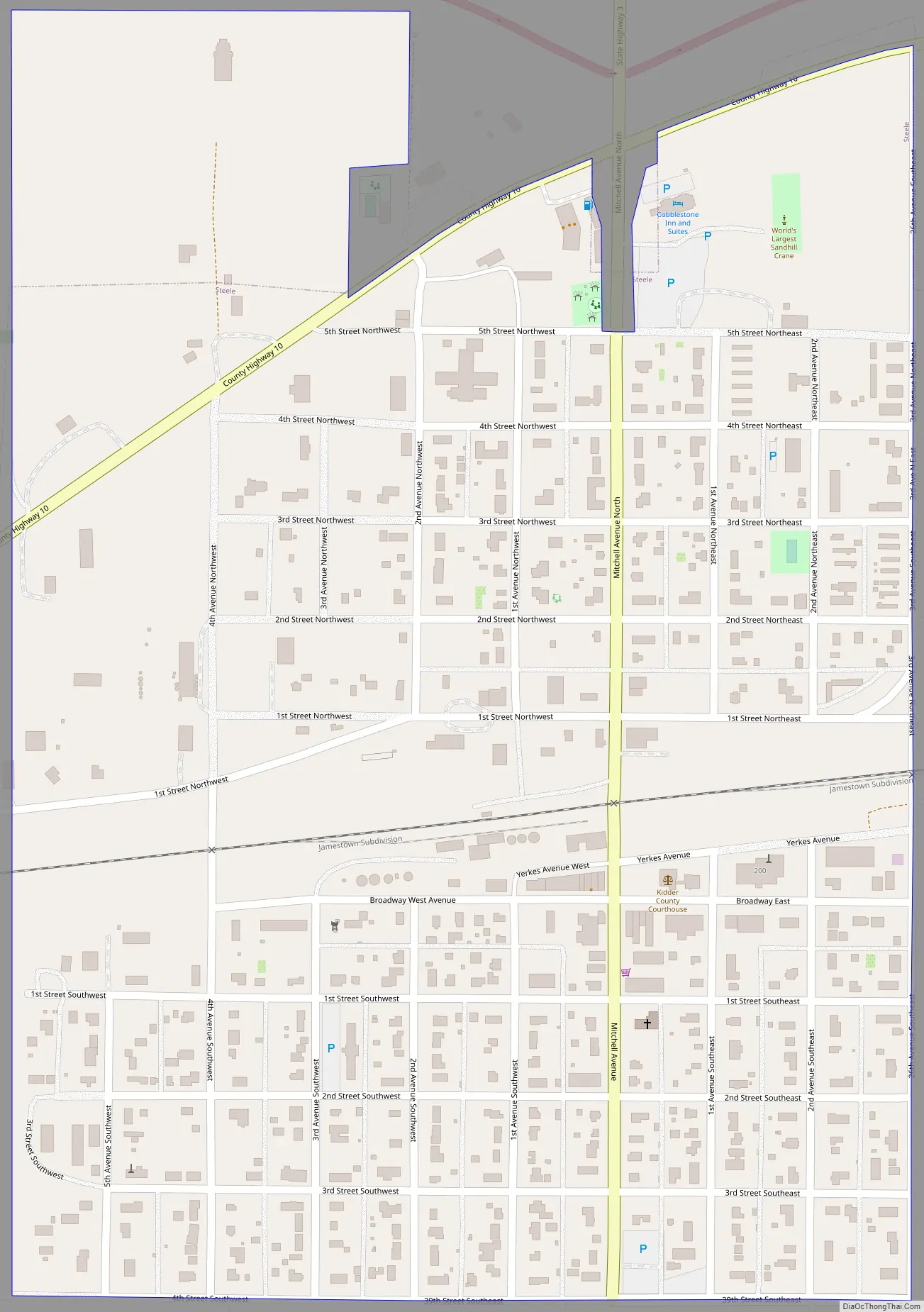
Steele Road Map
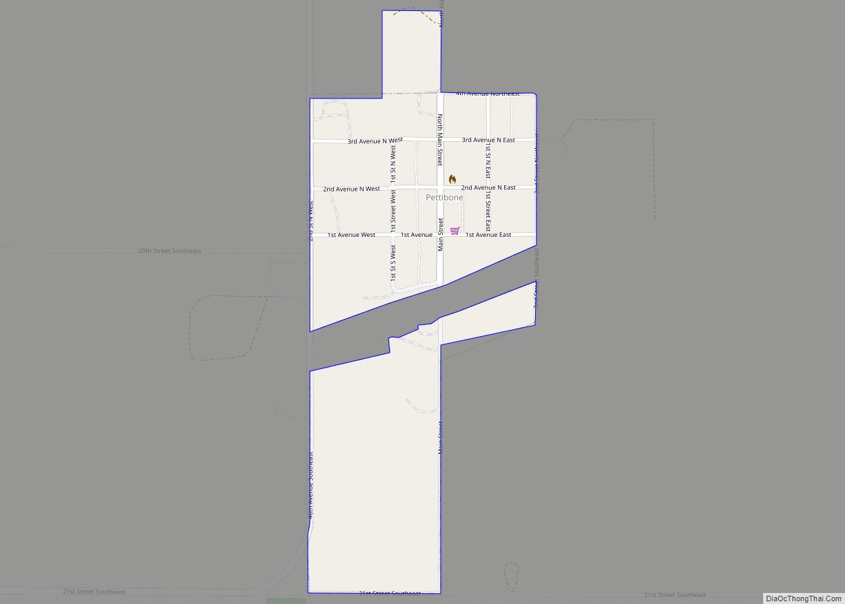
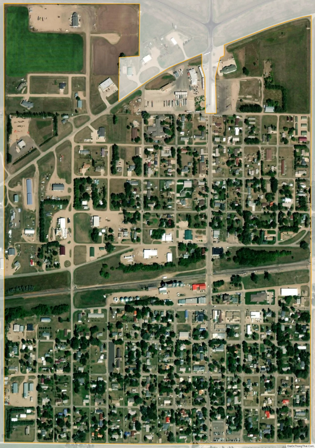
Steele city Satellite Map
Geography
Steele is located at 46°51′22″N 99°55′00″W / 46.856066°N 99.916606°W / 46.856066; -99.916606Coordinates: 46°51′22″N 99°55′00″W / 46.856066°N 99.916606°W / 46.856066; -99.916606 (46.856066, -99.916606).
According to the United States Census Bureau, the city has a total area of 0.57 square miles (1.48 km), all land.
See also
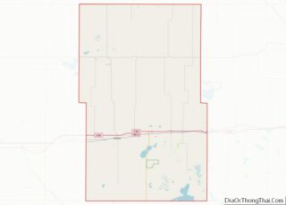
Map of North Dakota State and its subdivision:- Adams
- Barnes
- Benson
- Billings
- Bottineau
- Bowman
- Burke
- Burleigh
- Cass
- Cavalier
- Dickey
- Divide
- Dunn
- Eddy
- Emmons
- Foster
- Golden Valley
- Grand Forks
- Grant
- Griggs
- Hettinger
- Kidder
- Lamoure
- Logan
- McHenry
- McIntosh
- McKenzie
- McLean
- Mercer
- Morton
- Mountrail
- Nelson
- Oliver
- Pembina
- Pierce
- Ramsey
- Ransom
- Renville
- Richland
- Rolette
- Sargent
- Sheridan
- Sioux
- Slope
- Stark
- Steele
- Stutsman
- Towner
- Traill
- Walsh
- Ward
- Wells
- Williams
- Alabama
- Alaska
- Arizona
- Arkansas
- California
- Colorado
- Connecticut
- Delaware
- District of Columbia
- Florida
- Georgia
- Hawaii
- Idaho
- Illinois
- Indiana
- Iowa
- Kansas
- Kentucky
- Louisiana
- Maine
- Maryland
- Massachusetts
- Michigan
- Minnesota
- Mississippi
- Missouri
- Montana
- Nebraska
- Nevada
- New Hampshire
- New Jersey
- New Mexico
- New York
- North Carolina
- North Dakota
- Ohio
- Oklahoma
- Oregon
- Pennsylvania
- Rhode Island
- South Carolina
- South Dakota
- Tennessee
- Texas
- Utah
- Vermont
- Virginia
- Washington
- West Virginia
- Wisconsin
- Wyoming