Streeter is a city in Stutsman County, North Dakota, United States. The population was 149 at the 2020 census. Founded in 1905, Streeter celebrated its centennial in July 2005 with a weekend festival.
The city is at one end of what is considered the straightest road in America, with the other end being Hickson. The road consists of Highway 30 in the west to Highway 46 in the east.
| Name: | Streeter city |
|---|---|
| LSAD Code: | 25 |
| LSAD Description: | city (suffix) |
| State: | North Dakota |
| County: | Stutsman County |
| Elevation: | 1,923 ft (586 m) |
| Total Area: | 0.36 sq mi (0.92 km²) |
| Land Area: | 0.36 sq mi (0.92 km²) |
| Water Area: | 0.00 sq mi (0.00 km²) |
| Total Population: | 149 |
| Population Density: | 417.37/sq mi (161.12/km²) |
| ZIP code: | 58483 |
| Area code: | 701 |
| FIPS code: | 3876620 |
| GNISfeature ID: | 1032372 |
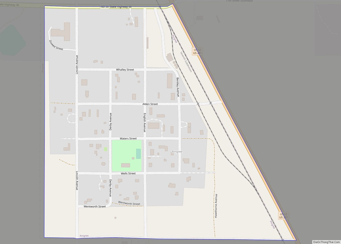
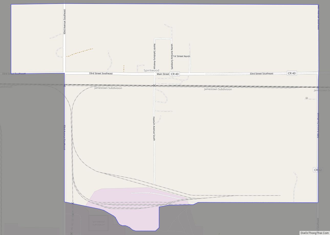
Online Interactive Map
Click on ![]() to view map in "full screen" mode.
to view map in "full screen" mode.
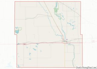
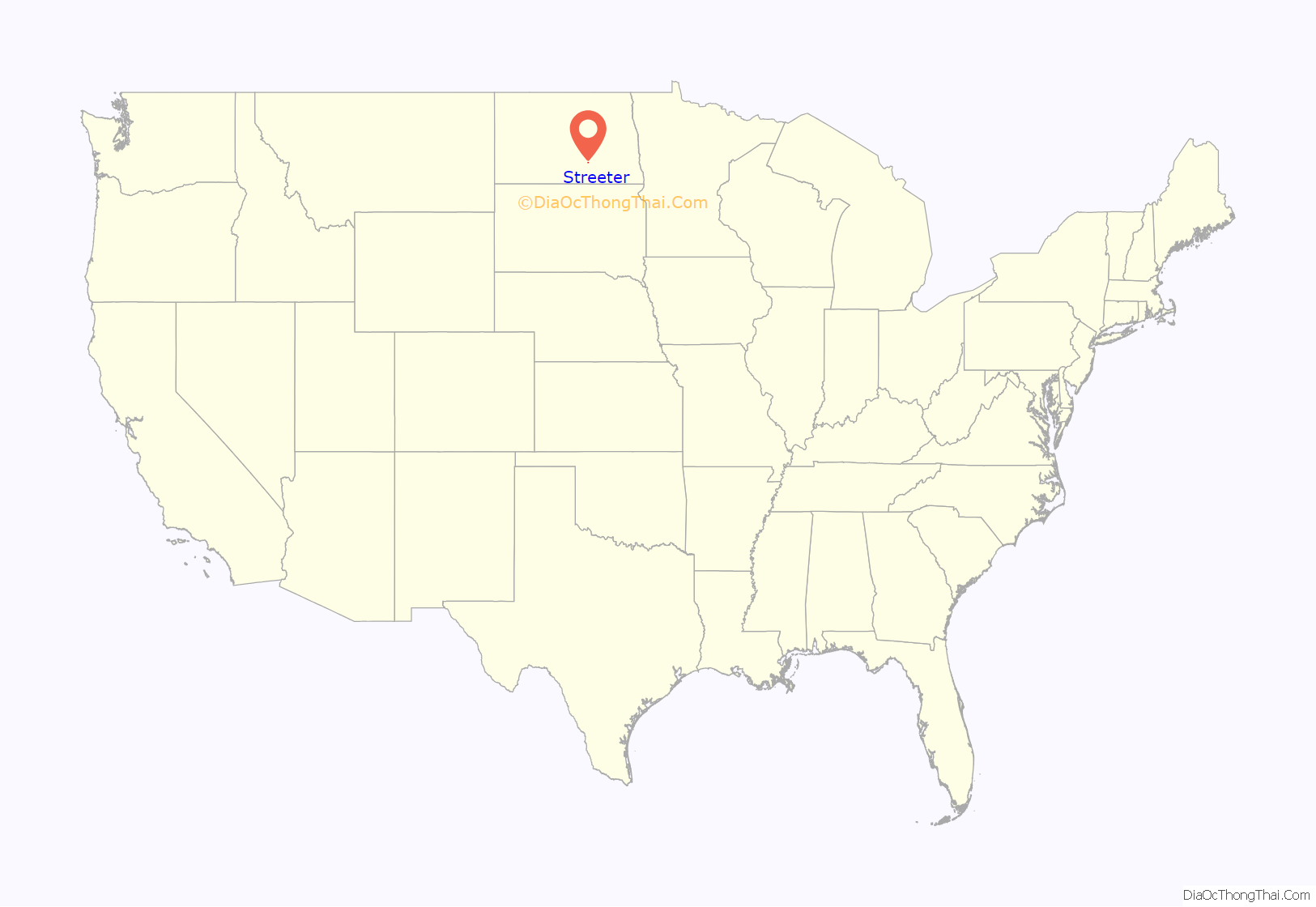
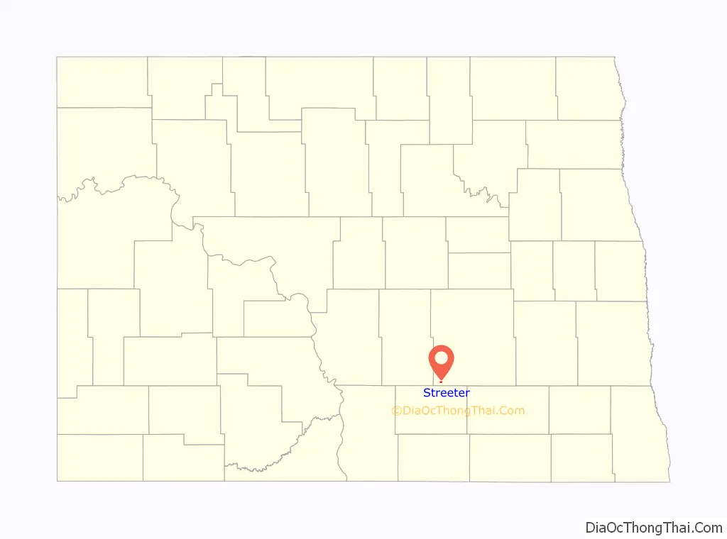
Streeter location map. Where is Streeter city?
History
The post office at present-day Streeter was established as Bloomenfield on February 28, 1893, and the town was founded and named Streeter in the spring of 1905, when the homestead owned by Alex Anderson was plotted and sold to the public. The first streets in the city were named after Anderson’s two daughters, Frances and Florence. Streeter was named in honor of Darwin Reed Streeter, a pioneer newspaper editor and legislator from Emmons County, who was very well known throughout the state.
The town experienced a severe fire on January 12, 1911, which destroyed the city’s bank, two general stores, and a drug store.
Streeter officially became a city in 1950, and its first mayor was Oscar Seher. The city reached a peak population of 602 that year, a number which has since fallen considerably. In 1955, the community’s business infrastructure consisted of five churches, three general stores, a drug store, bank, locker plant, two hardware stores, two cream stations, two electric stores, three service stations, two implement dealers, three bulk stations, two cafes, one hotel, one movie theater, a recreation hall, two blacksmith shops, a plumbing supply shop, barber shop, four grain elevators, a lumber yard, a poultry egg and feed store, and two taverns.
The Streeter Centennial was held over the weekend of July 1–3 in 2005. The festivities included class reunions, a parade, flea markets, and antique galleries. It concluded with a golf tournament, and a church service. An estimated 4,000 people attended the three-day event, including 700 Streeter alumni.
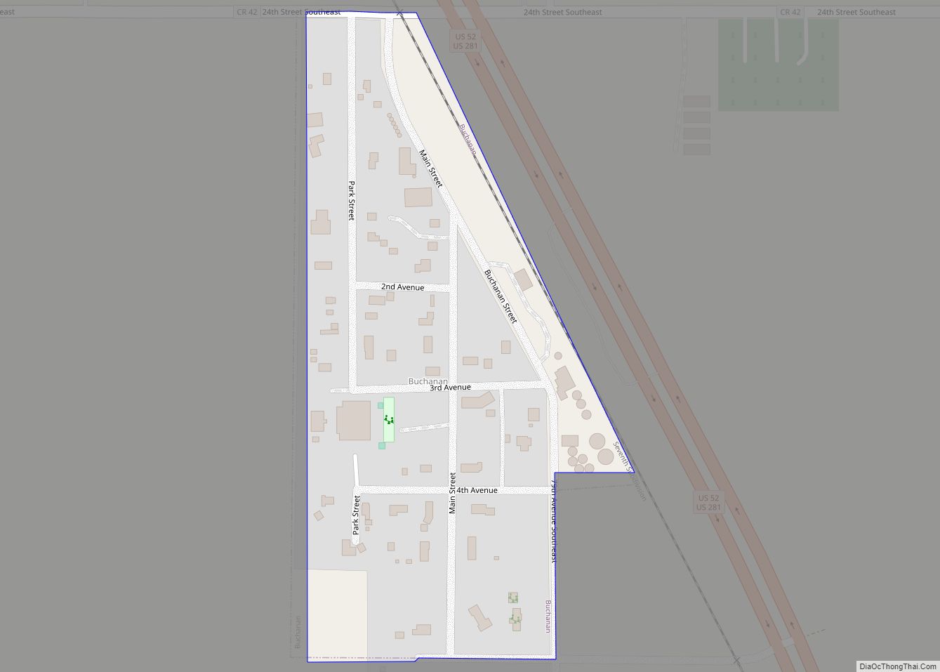
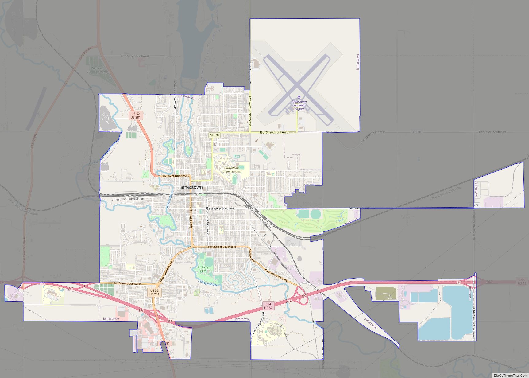
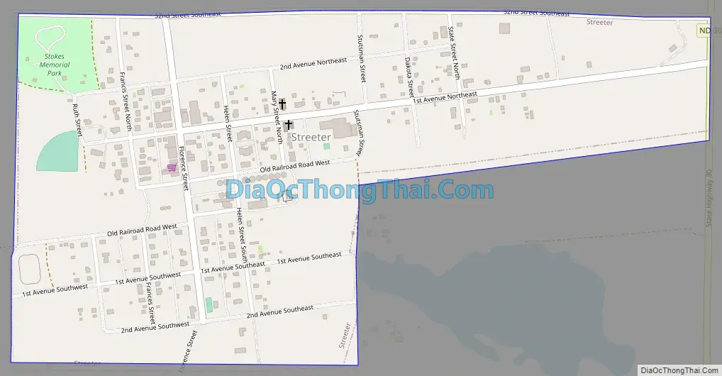
Streeter Road Map
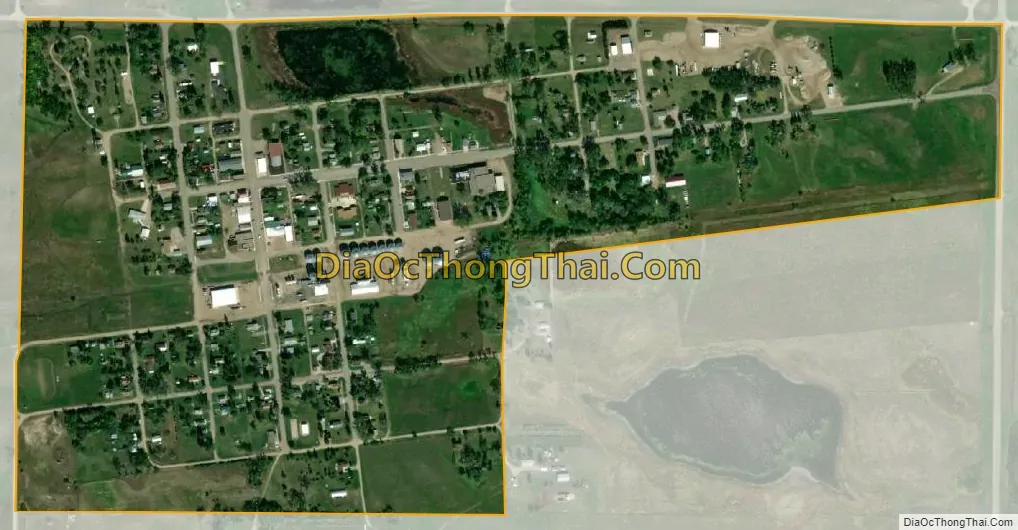
Streeter city Satellite Map
Geography
Streeter is located at 46°39′28″N 99°21′28″W / 46.65778°N 99.35778°W / 46.65778; -99.35778 (46.657646, -99.357841).
According to the United States Census Bureau, the city has a total area of 0.35 square miles (0.91 km), all land.
See also
Map of North Dakota State and its subdivision:- Adams
- Barnes
- Benson
- Billings
- Bottineau
- Bowman
- Burke
- Burleigh
- Cass
- Cavalier
- Dickey
- Divide
- Dunn
- Eddy
- Emmons
- Foster
- Golden Valley
- Grand Forks
- Grant
- Griggs
- Hettinger
- Kidder
- Lamoure
- Logan
- McHenry
- McIntosh
- McKenzie
- McLean
- Mercer
- Morton
- Mountrail
- Nelson
- Oliver
- Pembina
- Pierce
- Ramsey
- Ransom
- Renville
- Richland
- Rolette
- Sargent
- Sheridan
- Sioux
- Slope
- Stark
- Steele
- Stutsman
- Towner
- Traill
- Walsh
- Ward
- Wells
- Williams
- Alabama
- Alaska
- Arizona
- Arkansas
- California
- Colorado
- Connecticut
- Delaware
- District of Columbia
- Florida
- Georgia
- Hawaii
- Idaho
- Illinois
- Indiana
- Iowa
- Kansas
- Kentucky
- Louisiana
- Maine
- Maryland
- Massachusetts
- Michigan
- Minnesota
- Mississippi
- Missouri
- Montana
- Nebraska
- Nevada
- New Hampshire
- New Jersey
- New Mexico
- New York
- North Carolina
- North Dakota
- Ohio
- Oklahoma
- Oregon
- Pennsylvania
- Rhode Island
- South Carolina
- South Dakota
- Tennessee
- Texas
- Utah
- Vermont
- Virginia
- Washington
- West Virginia
- Wisconsin
- Wyoming