White Earth is one of the oldest cities in Mountrail County, North Dakota, United States. The population was 100 at the 2020 census. White Earth township was founded in 1887.
The community’s recent growth due to the North Dakota oil boom is the subject of an Academy Award–nominated short documentary film, White Earth.
| Name: | White Earth city |
|---|---|
| LSAD Code: | 25 |
| LSAD Description: | city (suffix) |
| State: | North Dakota |
| County: | Mountrail County |
| Founded: | 1887 |
| Elevation: | 2,087 ft (636 m) |
| Total Area: | 1.50 sq mi (3.88 km²) |
| Land Area: | 1.50 sq mi (3.88 km²) |
| Water Area: | 0.00 sq mi (0.00 km²) |
| Total Population: | 100 |
| Population Density: | 66.76/sq mi (25.78/km²) |
| ZIP code: | 58794 |
| Area code: | 701 |
| FIPS code: | 3885540 |
| GNISfeature ID: | 1032777 |
Online Interactive Map
Click on ![]() to view map in "full screen" mode.
to view map in "full screen" mode.
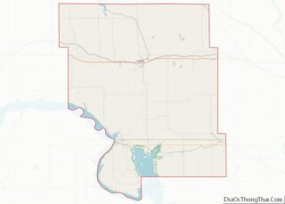
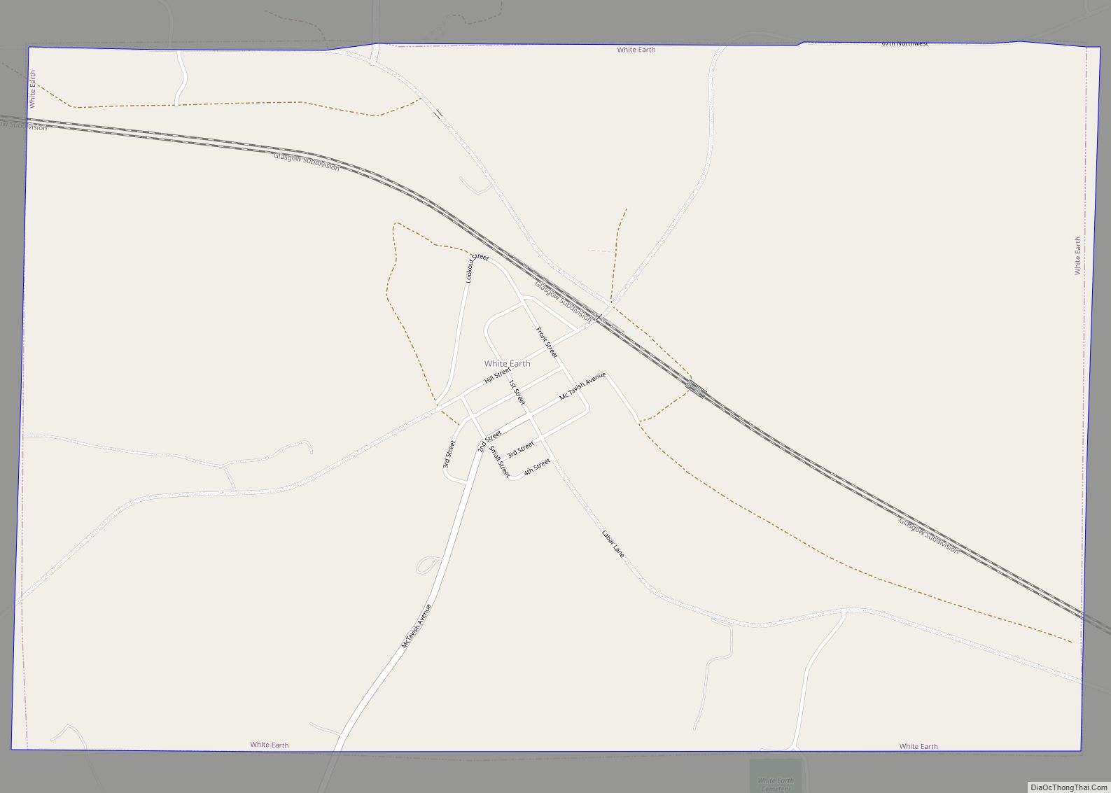
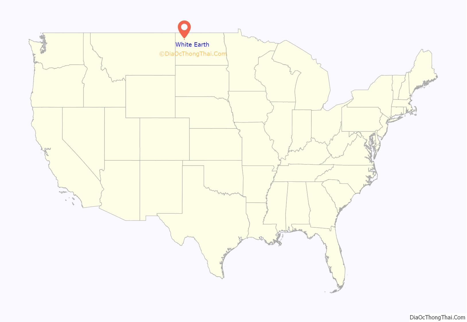
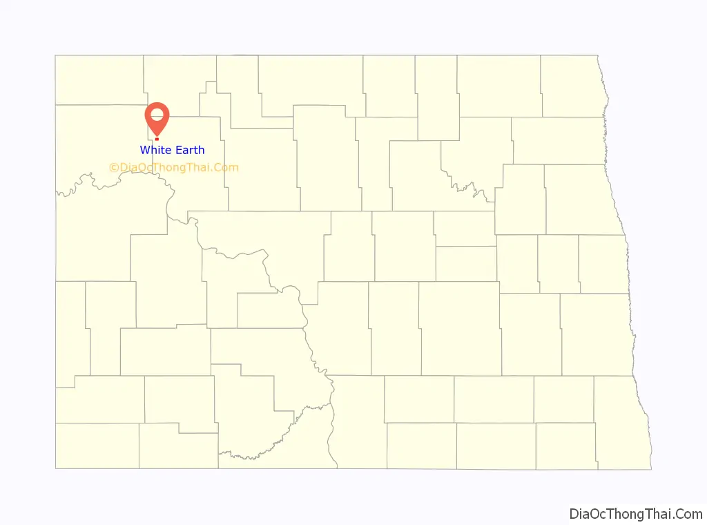
White Earth location map. Where is White Earth city?
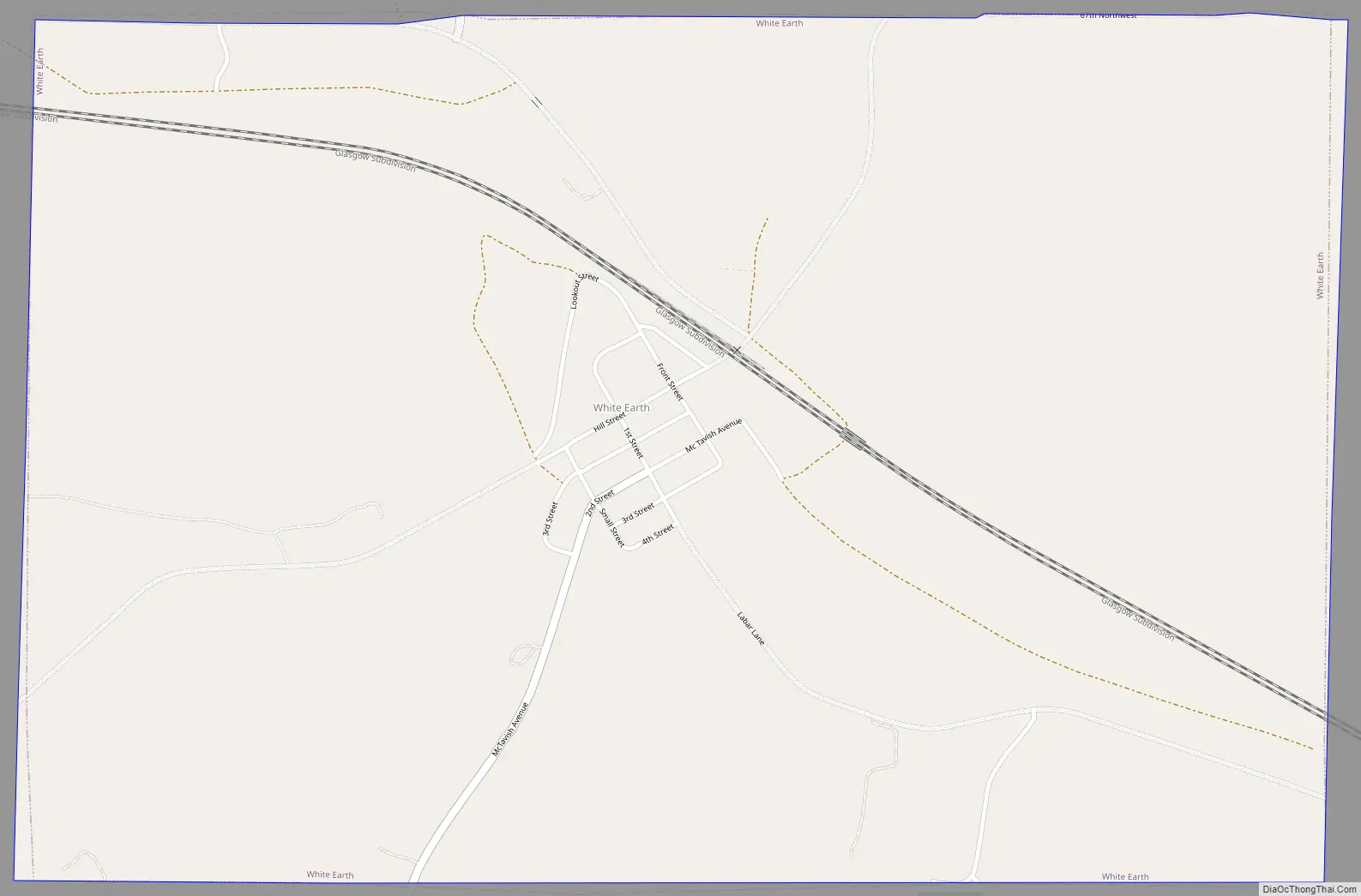
White Earth Road Map
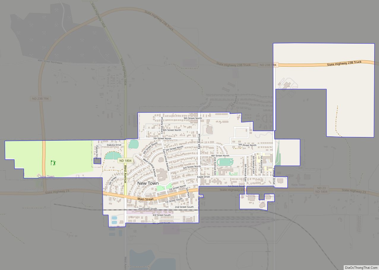
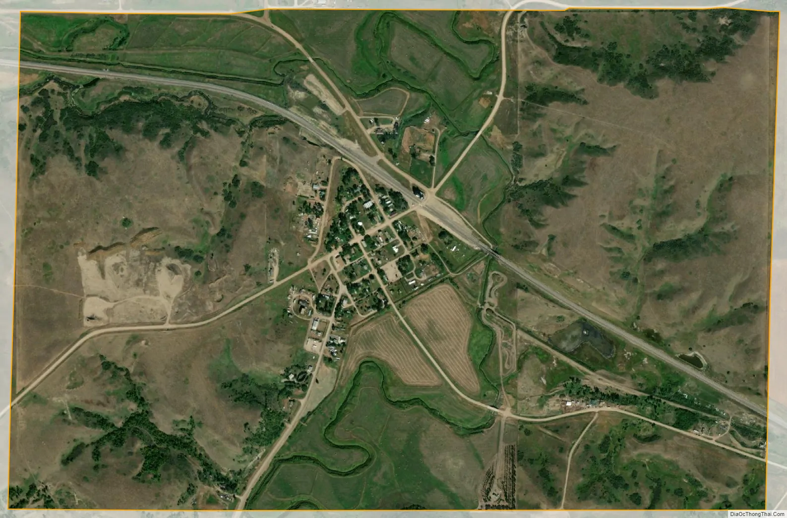
White Earth city Satellite Map
Geography
White Earth is located at 48°22′52″N 102°46′23″W / 48.38111°N 102.77306°W / 48.38111; -102.77306 (48.381049, -102.772969).
According to the United States Census Bureau, the city has a total area of 1.50 square miles (3.88 km), all land.
See also
Map of North Dakota State and its subdivision:- Adams
- Barnes
- Benson
- Billings
- Bottineau
- Bowman
- Burke
- Burleigh
- Cass
- Cavalier
- Dickey
- Divide
- Dunn
- Eddy
- Emmons
- Foster
- Golden Valley
- Grand Forks
- Grant
- Griggs
- Hettinger
- Kidder
- Lamoure
- Logan
- McHenry
- McIntosh
- McKenzie
- McLean
- Mercer
- Morton
- Mountrail
- Nelson
- Oliver
- Pembina
- Pierce
- Ramsey
- Ransom
- Renville
- Richland
- Rolette
- Sargent
- Sheridan
- Sioux
- Slope
- Stark
- Steele
- Stutsman
- Towner
- Traill
- Walsh
- Ward
- Wells
- Williams
- Alabama
- Alaska
- Arizona
- Arkansas
- California
- Colorado
- Connecticut
- Delaware
- District of Columbia
- Florida
- Georgia
- Hawaii
- Idaho
- Illinois
- Indiana
- Iowa
- Kansas
- Kentucky
- Louisiana
- Maine
- Maryland
- Massachusetts
- Michigan
- Minnesota
- Mississippi
- Missouri
- Montana
- Nebraska
- Nevada
- New Hampshire
- New Jersey
- New Mexico
- New York
- North Carolina
- North Dakota
- Ohio
- Oklahoma
- Oregon
- Pennsylvania
- Rhode Island
- South Carolina
- South Dakota
- Tennessee
- Texas
- Utah
- Vermont
- Virginia
- Washington
- West Virginia
- Wisconsin
- Wyoming