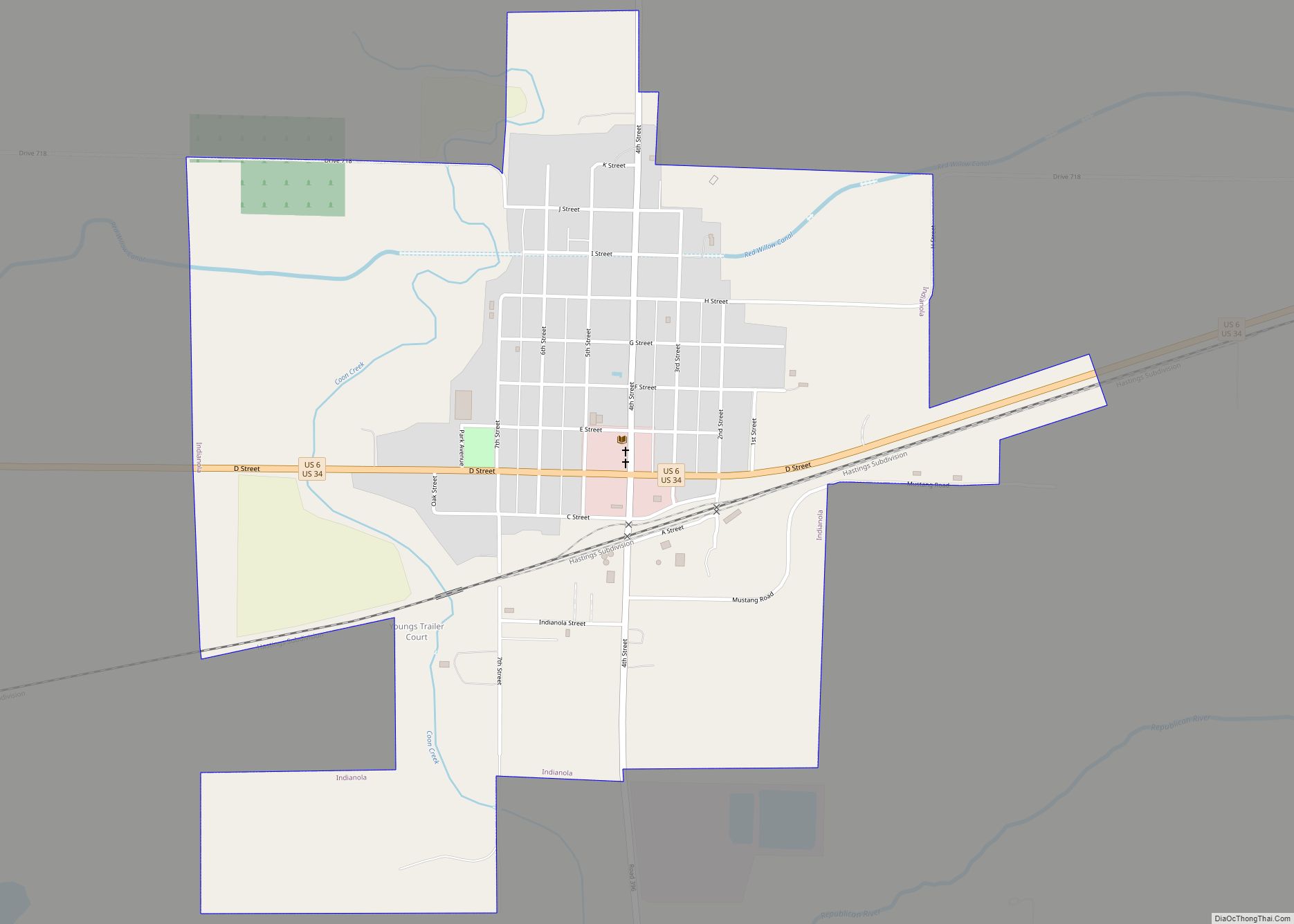
Indianola is a city in Red Willow County, Nebraska, United States. The population was 584 at the 2010 census.
| Name: | Indianola city |
|---|---|
| LSAD Code: | 25 |
| LSAD Description: | city (suffix) |
| State: | Nebraska |
| County: | Red Willow County |
| Elevation: | 2,382 ft (726 m) |
| Total Area: | 1.25 sq mi (3.23 km²) |
| Land Area: | 1.25 sq mi (3.23 km²) |
| Water Area: | 0.00 sq mi (0.00 km²) |
| Total Population: | 524 |
| Population Density: | 419.87/sq mi (162.14/km²) |
| ZIP code: | 69034 |
| Area code: | 308 |
| FIPS code: | 3123830 |
| GNISfeature ID: | 0830293 |
Online Interactive Map
Click on ![]() to view map in "full screen" mode.
to view map in "full screen" mode.
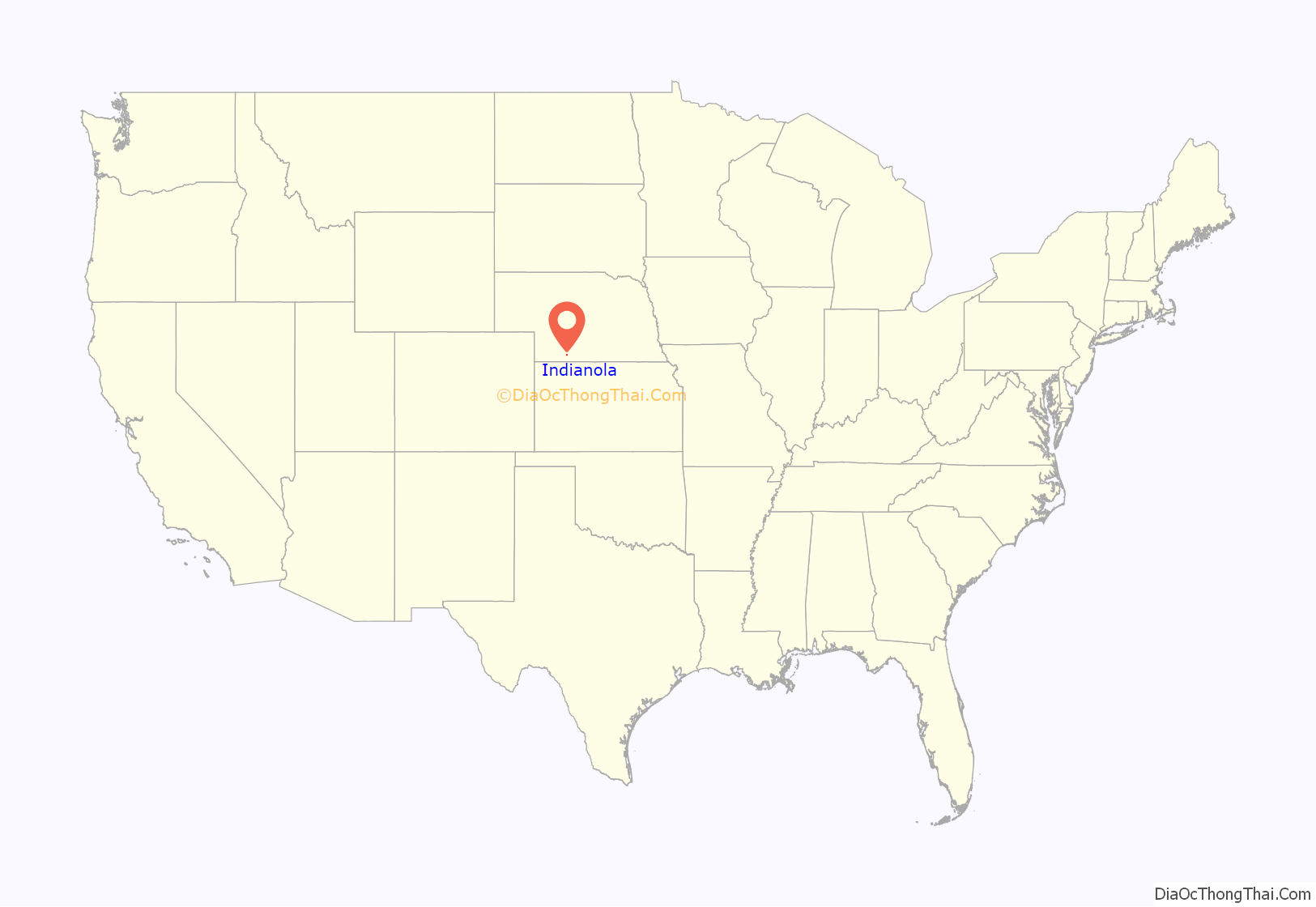
Indianola location map. Where is Indianola city?
History
Indianola was platted in 1873. The community was named after Indianola, Iowa, the former hometown of an early settler. In its early days, Indianola was the county seat of Red Willow County. After the railroad opted to locate its midpoint terminal on the Omaha to Denver route in McCook rather than in Indianola, the seat was moved there and Indianola declined.
Located in the City Park of Indianola is the grave of a Pawnee woman who died of wounds received at the battle between the Sioux and Pawnee tribes at Massacre Canyon, just east of Trenton. The woman was originally buried northwest of town on a bluff overlooking Coon Creek. In the 1970s, it became obvious that erosion would eventually destroy her gravesite, and in 1975 she was reburied in the park, with representatives of the Pawnee tribe participating in the ceremony.
Indianola Road Map
Indianola city Satellite Map
Geography
Indianola is located at 40°14′9″N 100°25′9″W / 40.23583°N 100.41917°W / 40.23583; -100.41917 (40.235822, -100.419296).
According to the United States Census Bureau, the city has a total area of 1.25 square miles (3.24 km), all land.
See also
Map of Nebraska State and its subdivision:- Adams
- Antelope
- Arthur
- Banner
- Blaine
- Boone
- Box Butte
- Boyd
- Brown
- Buffalo
- Burt
- Butler
- Cass
- Cedar
- Chase
- Cherry
- Cheyenne
- Clay
- Colfax
- Cuming
- Custer
- Dakota
- Dawes
- Dawson
- Deuel
- Dixon
- Dodge
- Douglas
- Dundy
- Fillmore
- Franklin
- Frontier
- Furnas
- Gage
- Garden
- Garfield
- Gosper
- Grant
- Greeley
- Hall
- Hamilton
- Harlan
- Hayes
- Hitchcock
- Holt
- Hooker
- Howard
- Jefferson
- Johnson
- Kearney
- Keith
- Keya Paha
- Kimball
- Knox
- Lancaster
- Lincoln
- Logan
- Loup
- Madison
- McPherson
- Merrick
- Morrill
- Nance
- Nemaha
- Nuckolls
- Otoe
- Pawnee
- Perkins
- Phelps
- Pierce
- Platte
- Polk
- Red Willow
- Richardson
- Rock
- Saline
- Sarpy
- Saunders
- Scotts Bluff
- Seward
- Sheridan
- Sherman
- Sioux
- Stanton
- Thayer
- Thomas
- Thurston
- Valley
- Washington
- Wayne
- Webster
- Wheeler
- York
- Alabama
- Alaska
- Arizona
- Arkansas
- California
- Colorado
- Connecticut
- Delaware
- District of Columbia
- Florida
- Georgia
- Hawaii
- Idaho
- Illinois
- Indiana
- Iowa
- Kansas
- Kentucky
- Louisiana
- Maine
- Maryland
- Massachusetts
- Michigan
- Minnesota
- Mississippi
- Missouri
- Montana
- Nebraska
- Nevada
- New Hampshire
- New Jersey
- New Mexico
- New York
- North Carolina
- North Dakota
- Ohio
- Oklahoma
- Oregon
- Pennsylvania
- Rhode Island
- South Carolina
- South Dakota
- Tennessee
- Texas
- Utah
- Vermont
- Virginia
- Washington
- West Virginia
- Wisconsin
- Wyoming
