Morrill is a village located in Scotts Bluff County, in the western Panhandle, in the northwestern portion of the United States state of Nebraska. Morrill is part of the Scottsbluff, Nebraska Micropolitan Statistical Area. The population was 921 at the 2010 census.
| Name: | Morrill village |
|---|---|
| LSAD Code: | 47 |
| LSAD Description: | village (suffix) |
| State: | Nebraska |
| County: | Scotts Bluff County |
| Elevation: | 3,989 ft (1,216 m) |
| Total Area: | 0.61 sq mi (1.58 km²) |
| Land Area: | 0.61 sq mi (1.58 km²) |
| Water Area: | 0.00 sq mi (0.00 km²) |
| Total Population: | 934 |
| Population Density: | 1,536.18/sq mi (592.90/km²) |
| ZIP code: | 69358 |
| Area code: | 308 |
| FIPS code: | 3132830 |
| GNISfeature ID: | 0831427 |
| Website: | villageofmorrill.com |
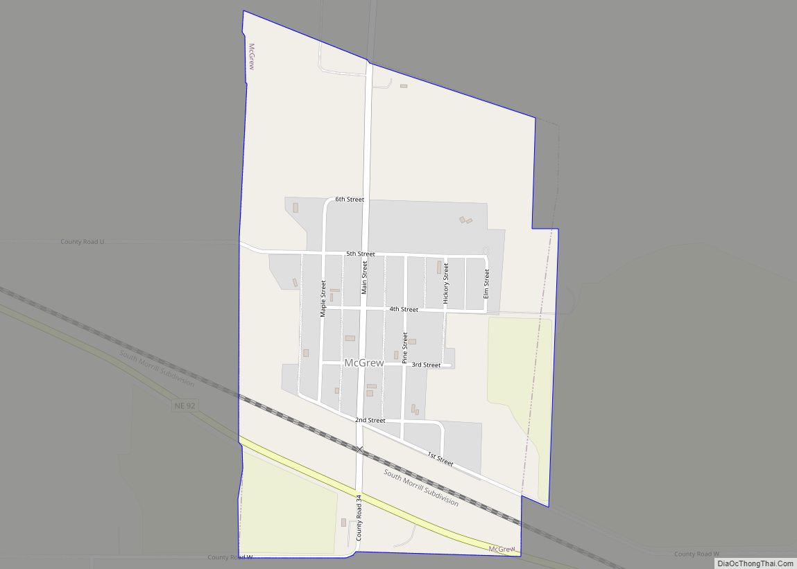
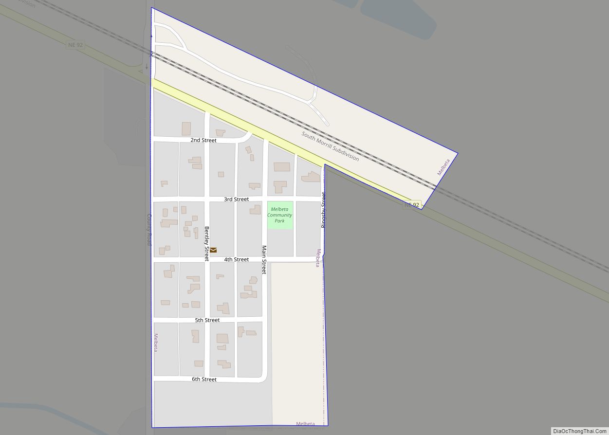
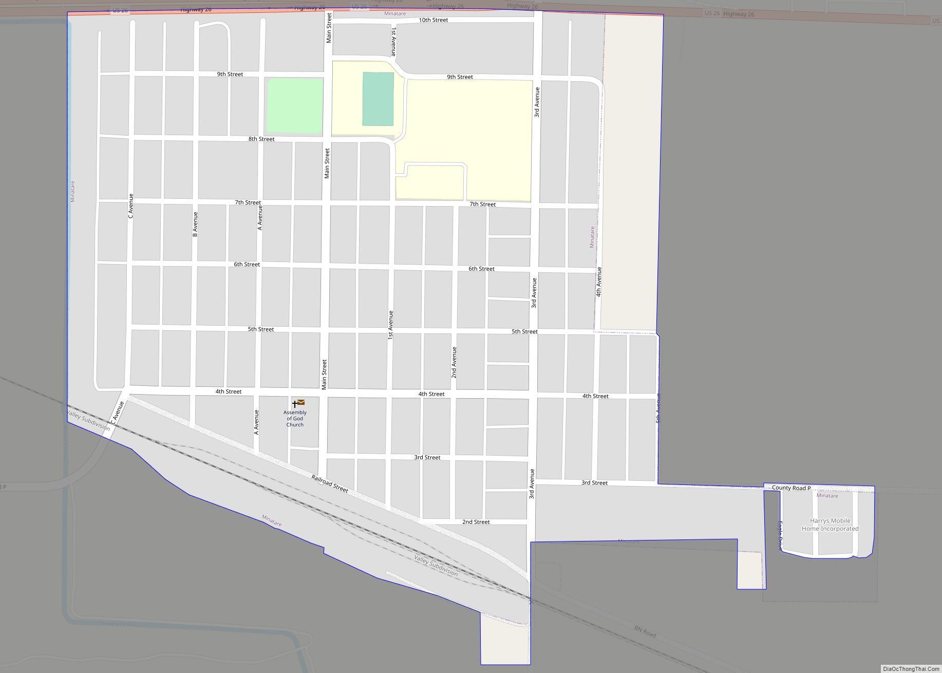
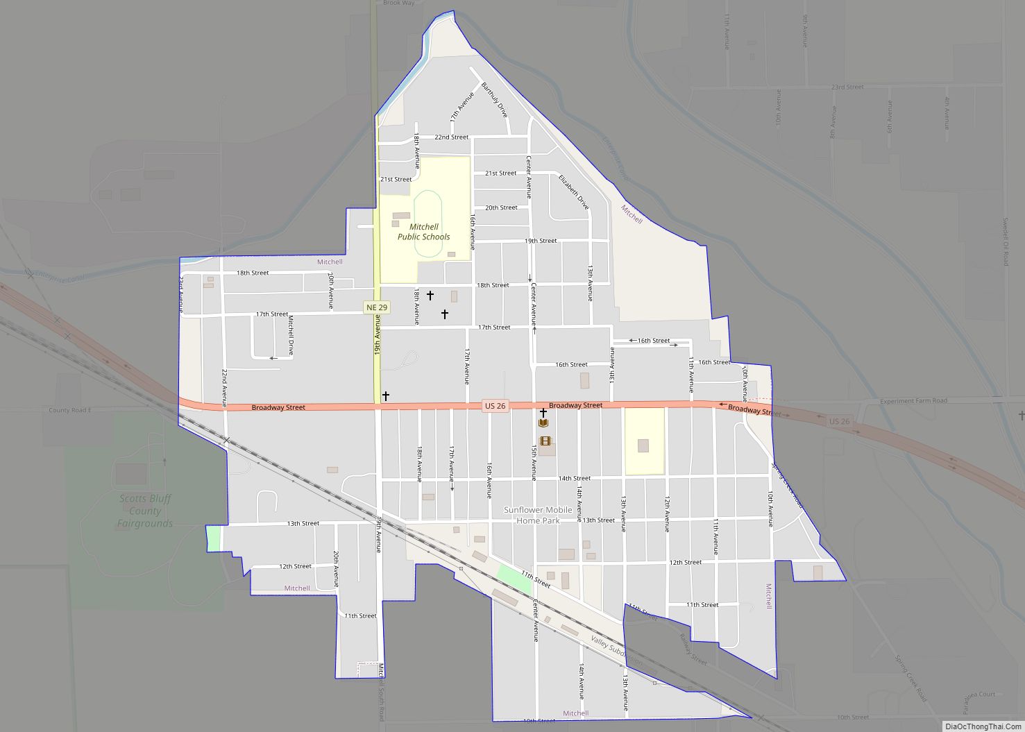
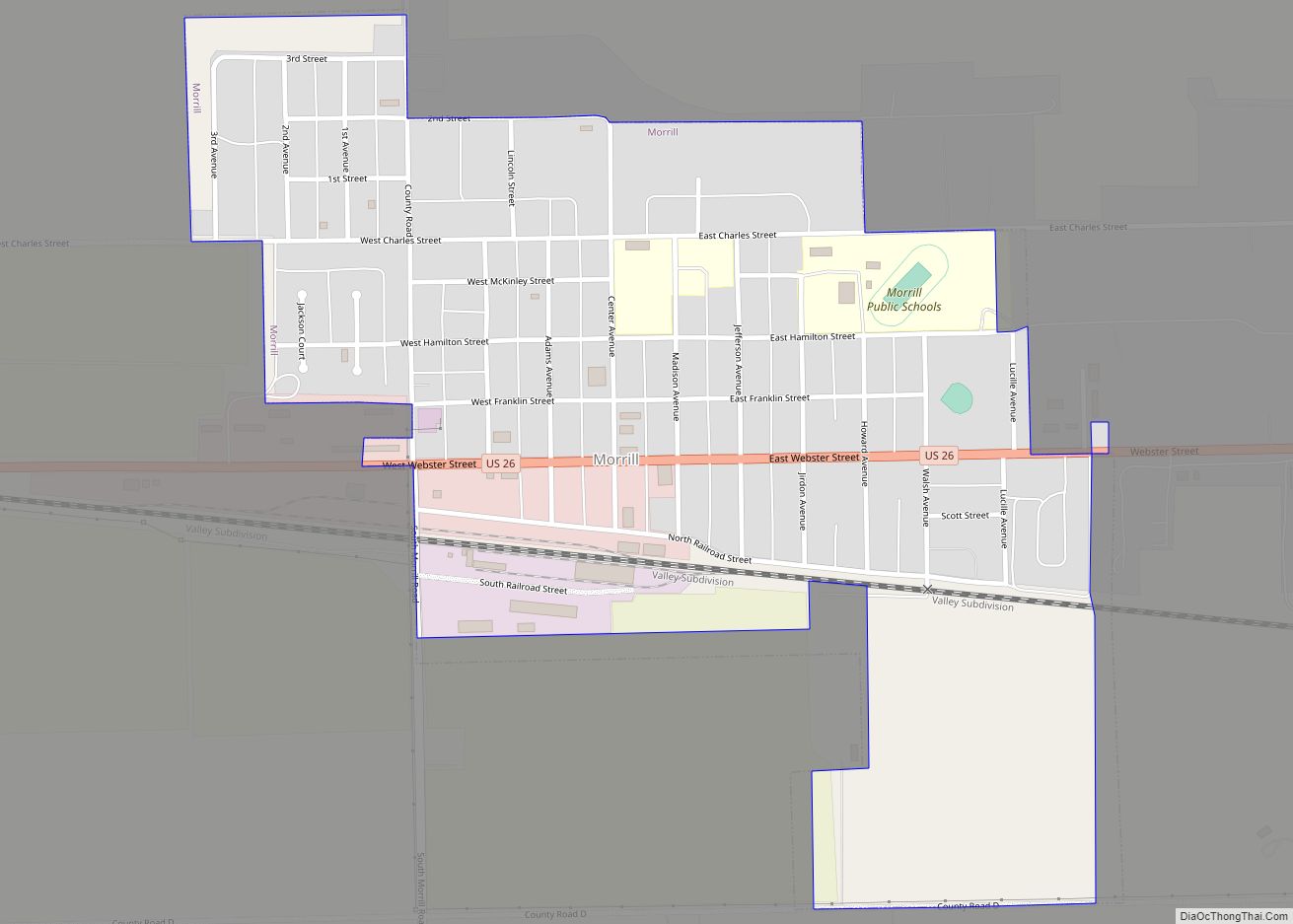
Online Interactive Map
Click on ![]() to view map in "full screen" mode.
to view map in "full screen" mode.
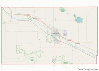
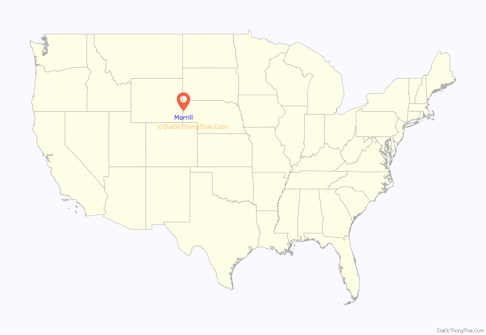
Morrill location map. Where is Morrill village?
History
In 1886, settlers from the vicinity of Fort Collins, Colorado found a fertile valley at the mouth of the Sheep Creek draw about a mile north of present-day Morrill. There, they established a settlement to which they gave the name of Collins.
In the early 1900s, the impending arrival of the Burlington Railroad in the vicinity prompted the relocation of the town. Spurred by the rumor that a depot would be built in the area, Charles Henry Morrill, president of the Lincoln Land Company, platted the new townsite about a mile from Collins. The new settlement, which bore Morrill’s name, was incorporated in 1907.
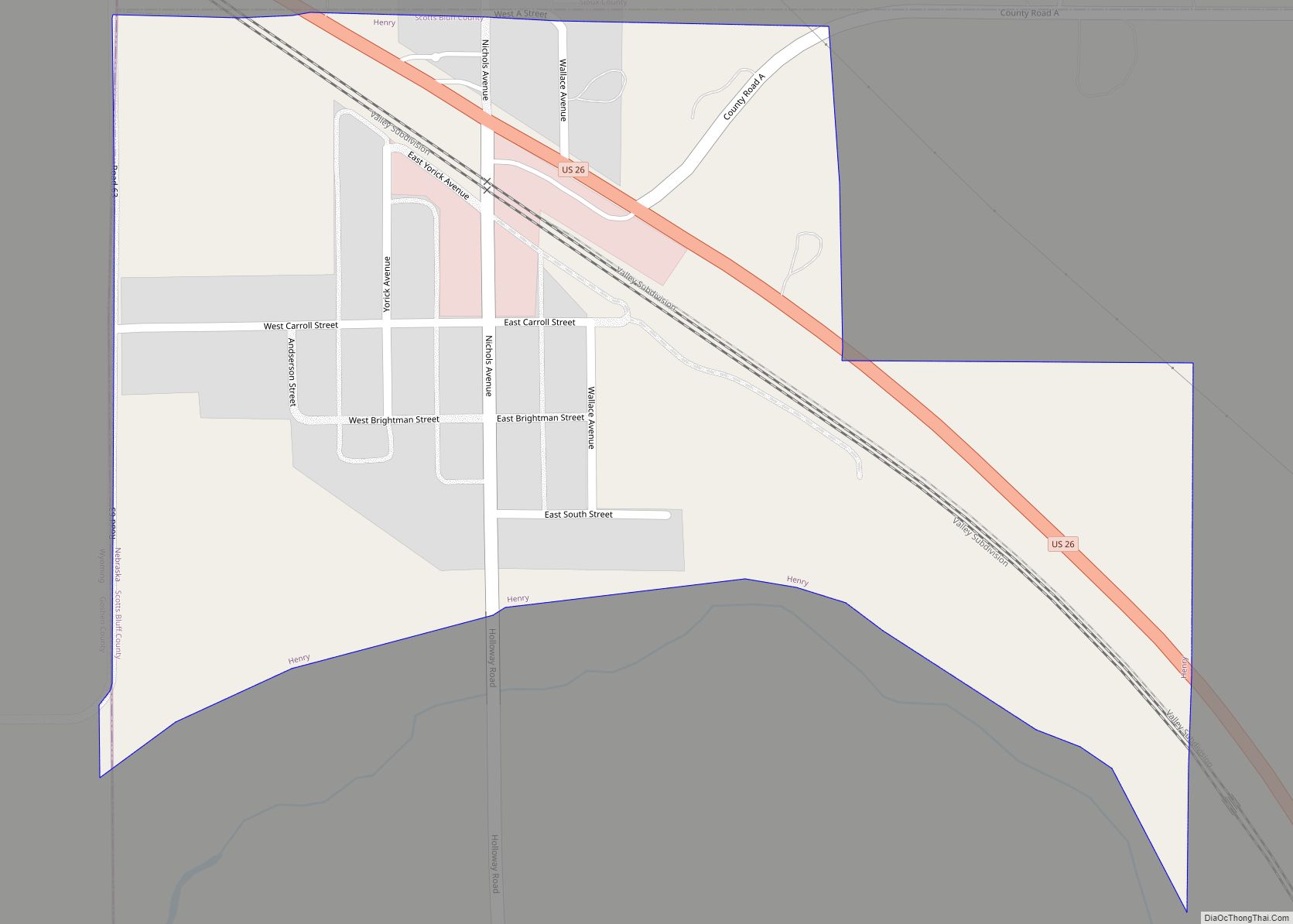
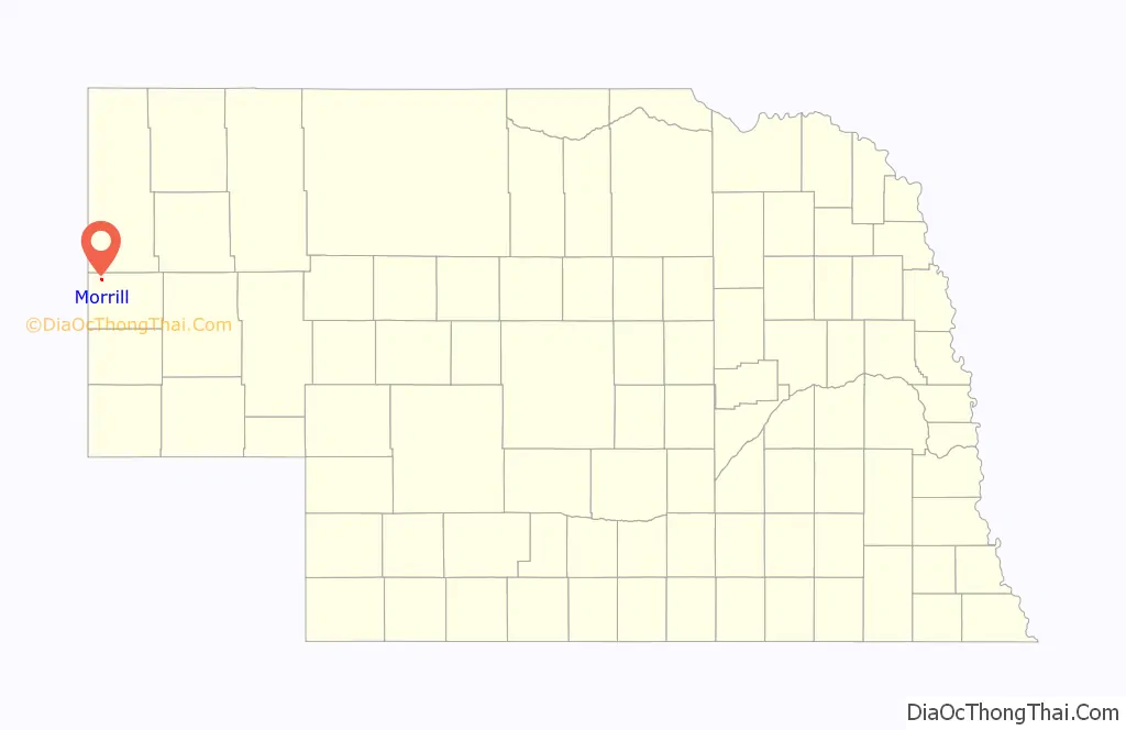
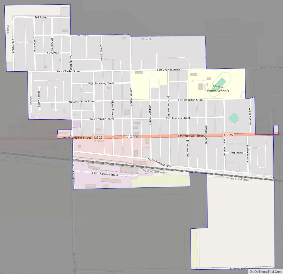
Morrill Road Map
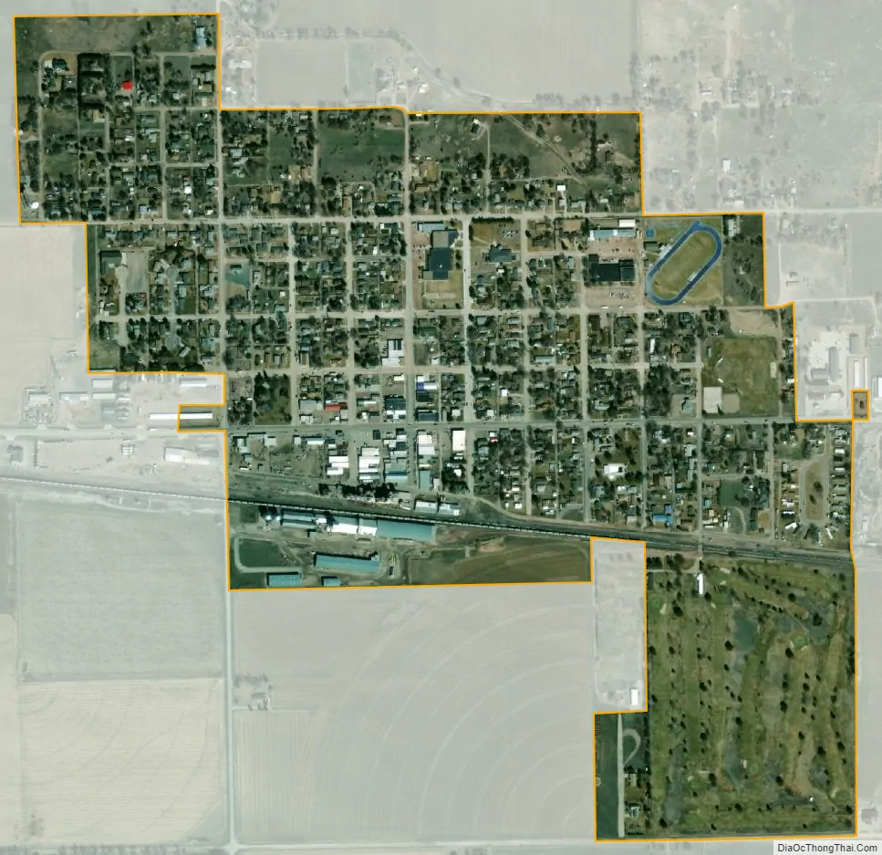
Morrill city Satellite Map
Geography
Morrill is located at 41°57′54″N 103°55′33″W / 41.96500°N 103.92583°W / 41.96500; -103.92583 (41.964919, -103.925711).
According to the United States Census Bureau, the village has a total area of 0.60 square miles (1.55 km), all land.
See also
Map of Nebraska State and its subdivision:- Adams
- Antelope
- Arthur
- Banner
- Blaine
- Boone
- Box Butte
- Boyd
- Brown
- Buffalo
- Burt
- Butler
- Cass
- Cedar
- Chase
- Cherry
- Cheyenne
- Clay
- Colfax
- Cuming
- Custer
- Dakota
- Dawes
- Dawson
- Deuel
- Dixon
- Dodge
- Douglas
- Dundy
- Fillmore
- Franklin
- Frontier
- Furnas
- Gage
- Garden
- Garfield
- Gosper
- Grant
- Greeley
- Hall
- Hamilton
- Harlan
- Hayes
- Hitchcock
- Holt
- Hooker
- Howard
- Jefferson
- Johnson
- Kearney
- Keith
- Keya Paha
- Kimball
- Knox
- Lancaster
- Lincoln
- Logan
- Loup
- Madison
- McPherson
- Merrick
- Morrill
- Nance
- Nemaha
- Nuckolls
- Otoe
- Pawnee
- Perkins
- Phelps
- Pierce
- Platte
- Polk
- Red Willow
- Richardson
- Rock
- Saline
- Sarpy
- Saunders
- Scotts Bluff
- Seward
- Sheridan
- Sherman
- Sioux
- Stanton
- Thayer
- Thomas
- Thurston
- Valley
- Washington
- Wayne
- Webster
- Wheeler
- York
- Alabama
- Alaska
- Arizona
- Arkansas
- California
- Colorado
- Connecticut
- Delaware
- District of Columbia
- Florida
- Georgia
- Hawaii
- Idaho
- Illinois
- Indiana
- Iowa
- Kansas
- Kentucky
- Louisiana
- Maine
- Maryland
- Massachusetts
- Michigan
- Minnesota
- Mississippi
- Missouri
- Montana
- Nebraska
- Nevada
- New Hampshire
- New Jersey
- New Mexico
- New York
- North Carolina
- North Dakota
- Ohio
- Oklahoma
- Oregon
- Pennsylvania
- Rhode Island
- South Carolina
- South Dakota
- Tennessee
- Texas
- Utah
- Vermont
- Virginia
- Washington
- West Virginia
- Wisconsin
- Wyoming