Ord is a city in Valley County, Nebraska, United States. The population was 2,112 at the 2010 census. It is the county seat of Valley County.
| Name: | Ord city |
|---|---|
| LSAD Code: | 25 |
| LSAD Description: | city (suffix) |
| State: | Nebraska |
| County: | Valley County |
| Elevation: | 2,051 ft (625 m) |
| Total Area: | 2.10 sq mi (5.44 km²) |
| Land Area: | 2.10 sq mi (5.44 km²) |
| Water Area: | 0.00 sq mi (0.00 km²) |
| Total Population: | 2,113 |
| Population Density: | 1,005.71/sq mi (388.31/km²) |
| ZIP code: | 68862 |
| Area code: | 308 |
| FIPS code: | 3137280 |
| GNISfeature ID: | 0831890 |
| Website: | ordnebraska.com |
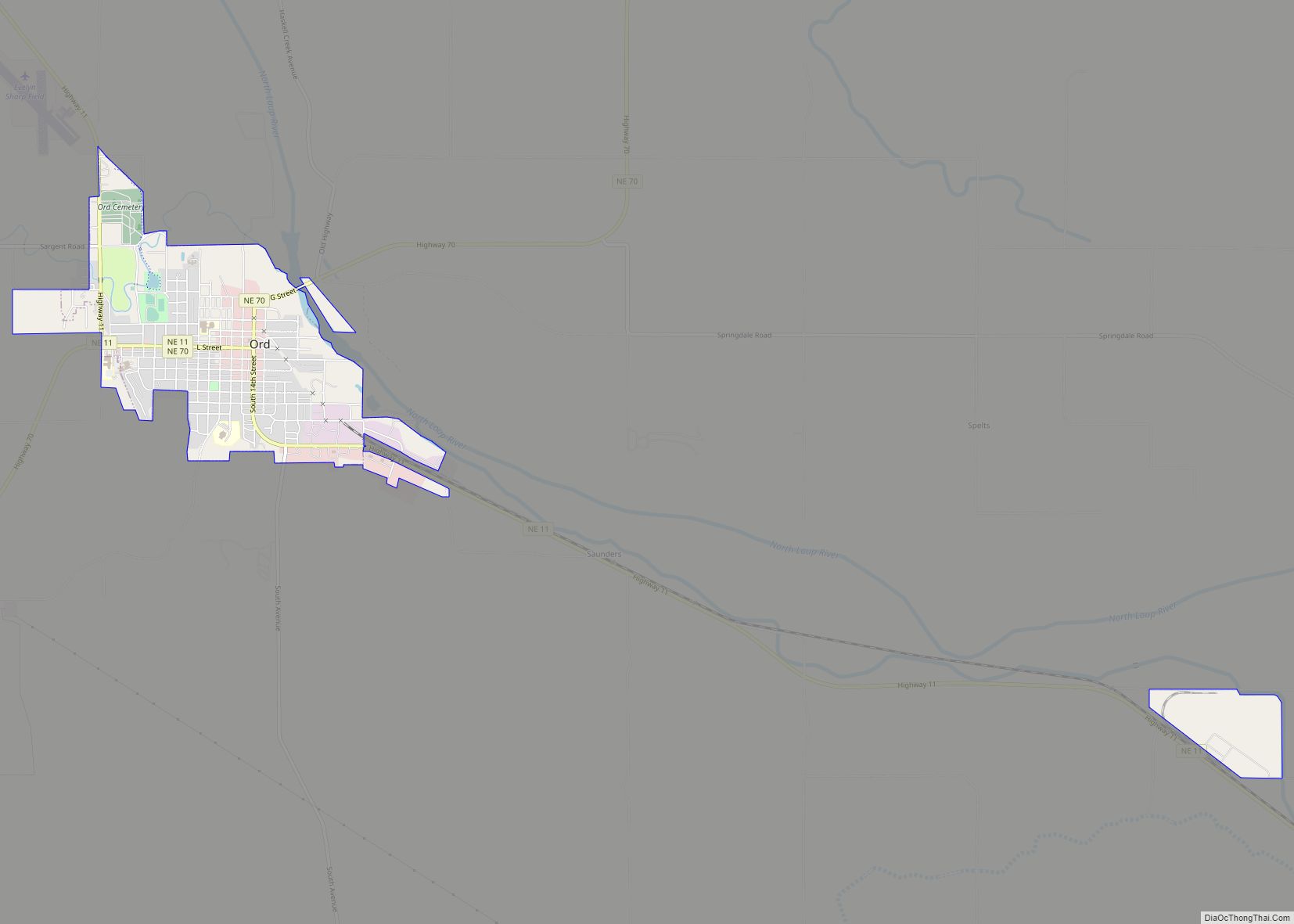
Online Interactive Map
Click on ![]() to view map in "full screen" mode.
to view map in "full screen" mode.
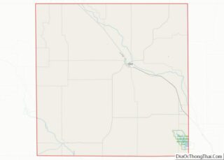
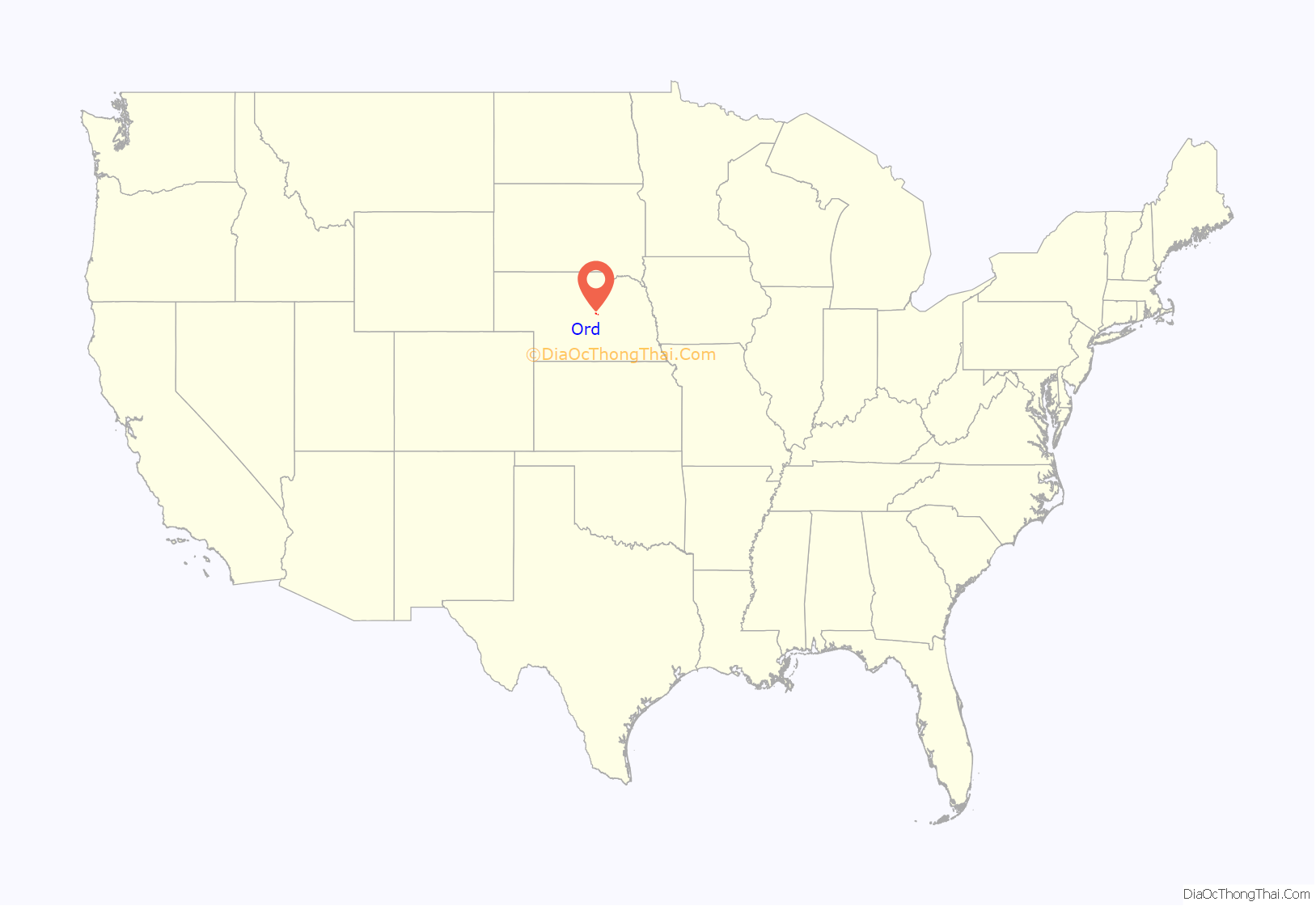
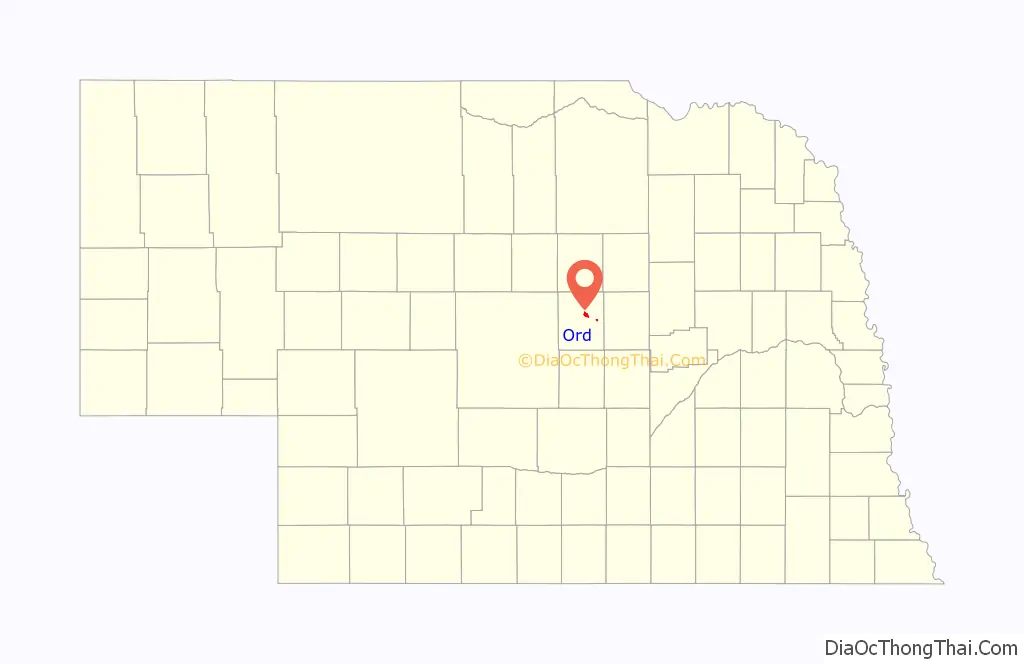
Ord location map. Where is Ord city?
History
Ord was platted in 1874. It is named in honor of Civil War general Edward O. C. Ord. Under the Union Pacific Railroad, the Omaha and Republican Valley Railway established the 59-mile Ord Subdivision between Grand Island and Ord in 1886. Today, the subdivision is serviced by the Nebraska Central Railroad, a subsidiary of the Rio Grande Pacific Corporation. The railway currently connects to Union Pacific’s nationwide rail system and serves as a means of transportation for the agricultural produce of the Valley County area.
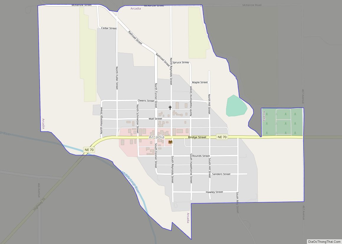
Ord Road Map

Ord city Satellite Map

Geography
Ord is located at 41°36′9″N 98°55′48″W / 41.60250°N 98.93000°W / 41.60250; -98.93000 (41.602553, -98.929962).
According to the United States Census Bureau, the city has a total area of 1.94 square miles (5.02 km), all of it land.
See also
Map of Nebraska State and its subdivision:- Adams
- Antelope
- Arthur
- Banner
- Blaine
- Boone
- Box Butte
- Boyd
- Brown
- Buffalo
- Burt
- Butler
- Cass
- Cedar
- Chase
- Cherry
- Cheyenne
- Clay
- Colfax
- Cuming
- Custer
- Dakota
- Dawes
- Dawson
- Deuel
- Dixon
- Dodge
- Douglas
- Dundy
- Fillmore
- Franklin
- Frontier
- Furnas
- Gage
- Garden
- Garfield
- Gosper
- Grant
- Greeley
- Hall
- Hamilton
- Harlan
- Hayes
- Hitchcock
- Holt
- Hooker
- Howard
- Jefferson
- Johnson
- Kearney
- Keith
- Keya Paha
- Kimball
- Knox
- Lancaster
- Lincoln
- Logan
- Loup
- Madison
- McPherson
- Merrick
- Morrill
- Nance
- Nemaha
- Nuckolls
- Otoe
- Pawnee
- Perkins
- Phelps
- Pierce
- Platte
- Polk
- Red Willow
- Richardson
- Rock
- Saline
- Sarpy
- Saunders
- Scotts Bluff
- Seward
- Sheridan
- Sherman
- Sioux
- Stanton
- Thayer
- Thomas
- Thurston
- Valley
- Washington
- Wayne
- Webster
- Wheeler
- York
- Alabama
- Alaska
- Arizona
- Arkansas
- California
- Colorado
- Connecticut
- Delaware
- District of Columbia
- Florida
- Georgia
- Hawaii
- Idaho
- Illinois
- Indiana
- Iowa
- Kansas
- Kentucky
- Louisiana
- Maine
- Maryland
- Massachusetts
- Michigan
- Minnesota
- Mississippi
- Missouri
- Montana
- Nebraska
- Nevada
- New Hampshire
- New Jersey
- New Mexico
- New York
- North Carolina
- North Dakota
- Ohio
- Oklahoma
- Oregon
- Pennsylvania
- Rhode Island
- South Carolina
- South Dakota
- Tennessee
- Texas
- Utah
- Vermont
- Virginia
- Washington
- West Virginia
- Wisconsin
- Wyoming