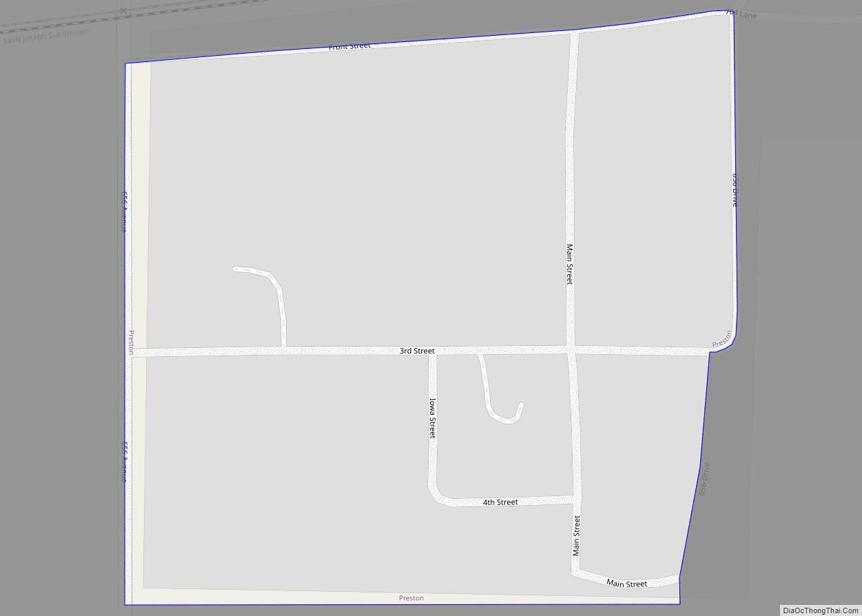
Preston is a village in Richardson County in Southeastern Nebraska, United States. It is located within the Sac and Fox Reservation. The population was 19 at the 2020 census.
| Name: | Preston village |
|---|---|
| LSAD Code: | 47 |
| LSAD Description: | village (suffix) |
| State: | Nebraska |
| County: | Richardson County |
| Elevation: | 938 ft (286 m) |
| Total Area: | 0.06 sq mi (0.15 km²) |
| Land Area: | 0.06 sq mi (0.15 km²) |
| Water Area: | 0.00 sq mi (0.00 km²) |
| Total Population: | 19 |
| Population Density: | 333.33/sq mi (128.78/km²) |
| ZIP code: | 68355 |
| Area code: | 402 |
| FIPS code: | 3140325 |
| GNISfeature ID: | 2399023 |
Online Interactive Map
Click on ![]() to view map in "full screen" mode.
to view map in "full screen" mode.
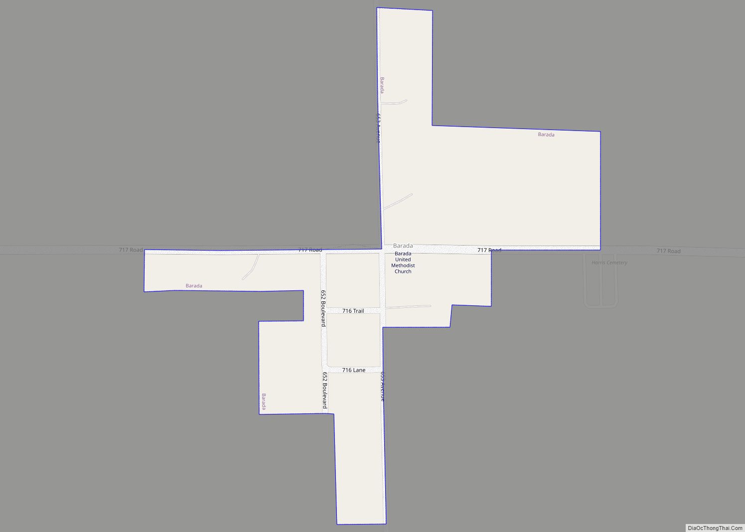
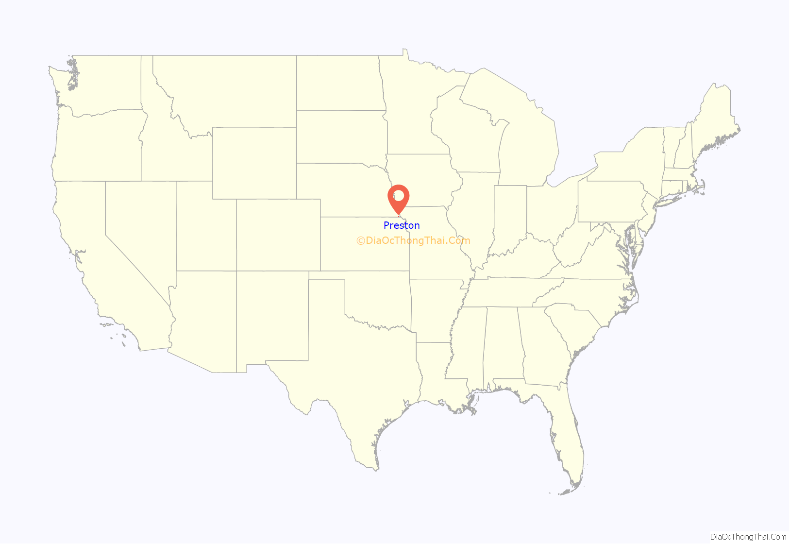
Preston location map. Where is Preston village?

History
The Sac Post Office, established in 1874, was named for the Sac and Fox Indian tribes that live in this area. The offspring of mixed marriages (primarily progeny of early French trappers and adventurers) were given land on the Half-Breed Tract. Some of their descendants still live there, while others sold their land and moved on.
Preston was platted in 1878 when the Atchison & Nebraska Railroad was extended to that point. In February 1880 Philip R. Shelly, the town’s founder, built a store and applied for a post office. However, the postal authorities rejected the proposed name of “Blufton”, since there was another one in Sherman County. James Eatough, who worked for Shelly, had come from Preston, England, so he suggested that name. On June 23, 1881, “Preston” was accepted by both post office and railroad. The town was then platted on a total of approximately 40 acres in 1881 by Shelly from a point running along the railroad tracks, where a siding was available, to the south. An elevator and a depot were built along the tracks for commerce and travelers. A. D. McAlpine, a telegraph operator from Canada, was the first railroad station agent.
Shelly was the first postmaster. He built one of the general stores and a drugstore, ran the saloon, and owned a livery stable. In addition, he bought and sold cattle and hogs, shipping them to markets in St. Joseph (MO), Kansas City (KS), and Chicago (IL). On Monday and Tuesday nights, the rail yards were busy as men loaded two or three carloads of livestock. The town had a bank, three general stores, two barber shops, two drug stores, two livery stables, two blacksmiths, and two hotels. One of the two harness shops employed six girls to make fly nets for horses.
Preston’s first one-room school served the community until 1889, when a larger schoolhouse was built. The grounds were fenced with four-foot woven wire to keep animals out. In the 1920s, several other districts consolidated with Preston and operated a three-year high school.
Preston’s peak came in 1890 with a population of 150. The people of Preston represented a wide variety of occupations and avocations. Each helped the town to grow through their business and patronage. It was a center for farmers to market their produce as well as to buy needed supplies. The two two-story hotels provided traveling men a place to stay overnight while selling their wares to the local merchants. The proprietor who ran the business at the Central Hotel couldn’t read or write, so he made an “X” whenever his written approval was needed.
Residents and visitors enjoyed a variety of entertainment. There was a dance floor above the bank, which also served as a community opera house. Programs ranged from skits and readings, to debates on pertinent topics. “Medicine shows” were also held here. The local school provided a place for public events such as political debates at Third and Russell Streets. Preston’s post office was on Iowa Street not far from the railroad depot and the German Evangelical Church was further south at Third and Iowa Streets. The Bethel Dunkard Society held services at the schoolhouse in German.
The infamous cyclone of May 17, 1896 nearly destroyed Preston (and severely damaged much of southeast Richardson County and northeast Kansas, including several fatalities). Almost every building in town was blown away, or needed repairs. Fires also took their toll including when the Shelly & Rieger general store burned in 1891 and in 1903 when the harness shop caught fire and burned most of the block, including four or five businesses and the Lindell Hotel. Residents could take the train to Falls City for 17 cents and this mode of transportation, both in convenience and low cost, further added to Preston’s decline since people could travel more easily to “the big city” of Falls City.
After the cyclone and then the fires, the town started to “dismantle.” The Central Hotel and Farmers National Bank were torn down and moved to Falls City. When the automobile became popular, people drove to Falls City to get whatever was needed. Local stores could not compete, so one-by-one they all closed.
In 1928, Preston’s elementary school still operated, but the community held its last high school class that year.
Shelly’s General Store, then owned by Ryan (or Bryon) Shelly, operated as late as 1933 and in 1928 it was twice victimized by burglars during a rash of burglaries of small stores across the county.
By 1969 the only thing left was the post office, the elementary school, and a voting hall. The post office was made a rural branch in 1974 and the elementary school merged with Falls City. The depot closed in 1953, although coal trains continue to rumble along the north side of town on a regular schedule.
Preston Road Map
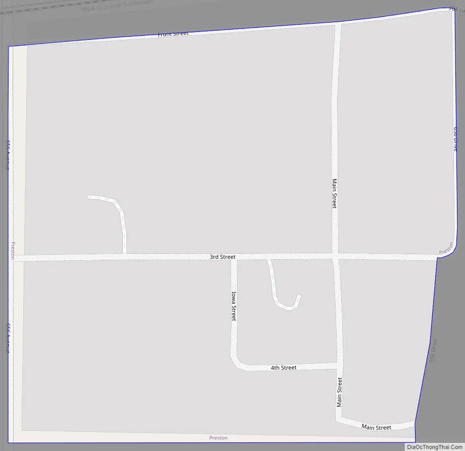
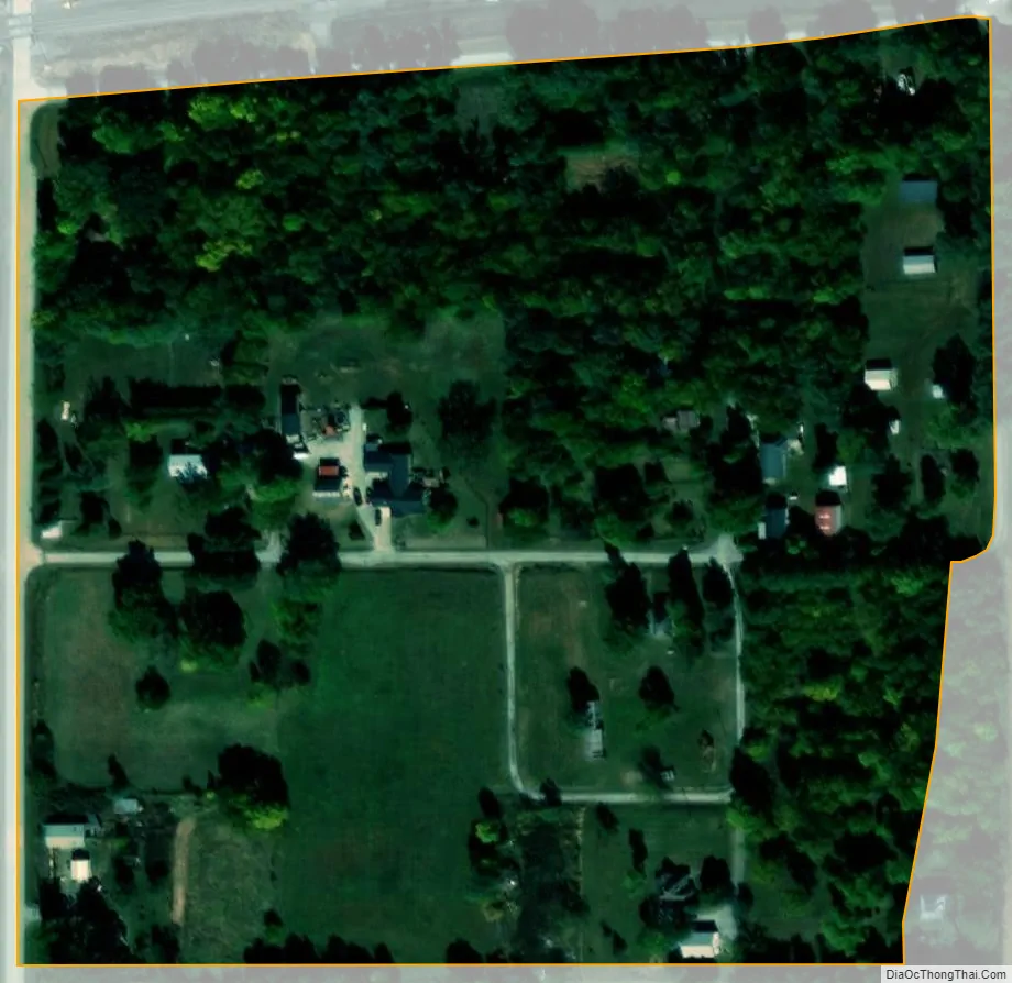
Preston city Satellite Map
Geography
According to the United States Census Bureau, the village has a total area of 0.06 square miles (0.16 km), all land.
See also
Map of Nebraska State and its subdivision:- Adams
- Antelope
- Arthur
- Banner
- Blaine
- Boone
- Box Butte
- Boyd
- Brown
- Buffalo
- Burt
- Butler
- Cass
- Cedar
- Chase
- Cherry
- Cheyenne
- Clay
- Colfax
- Cuming
- Custer
- Dakota
- Dawes
- Dawson
- Deuel
- Dixon
- Dodge
- Douglas
- Dundy
- Fillmore
- Franklin
- Frontier
- Furnas
- Gage
- Garden
- Garfield
- Gosper
- Grant
- Greeley
- Hall
- Hamilton
- Harlan
- Hayes
- Hitchcock
- Holt
- Hooker
- Howard
- Jefferson
- Johnson
- Kearney
- Keith
- Keya Paha
- Kimball
- Knox
- Lancaster
- Lincoln
- Logan
- Loup
- Madison
- McPherson
- Merrick
- Morrill
- Nance
- Nemaha
- Nuckolls
- Otoe
- Pawnee
- Perkins
- Phelps
- Pierce
- Platte
- Polk
- Red Willow
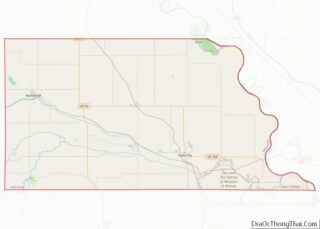
- Richardson
- Rock
- Saline
- Sarpy
- Saunders
- Scotts Bluff
- Seward
- Sheridan
- Sherman
- Sioux
- Stanton
- Thayer
- Thomas
- Thurston
- Valley
- Washington
- Wayne
- Webster
- Wheeler
- York
- Alabama
- Alaska
- Arizona
- Arkansas
- California
- Colorado
- Connecticut
- Delaware
- District of Columbia
- Florida
- Georgia
- Hawaii
- Idaho
- Illinois
- Indiana
- Iowa
- Kansas
- Kentucky
- Louisiana
- Maine
- Maryland
- Massachusetts
- Michigan
- Minnesota
- Mississippi
- Missouri
- Montana
- Nebraska
- Nevada
- New Hampshire
- New Jersey
- New Mexico
- New York
- North Carolina
- North Dakota
- Ohio
- Oklahoma
- Oregon
- Pennsylvania
- Rhode Island
- South Carolina
- South Dakota
- Tennessee
- Texas
- Utah
- Vermont
- Virginia
- Washington
- West Virginia
- Wisconsin
- Wyoming