Shelton is a village in Buffalo and Hall counties, Nebraska, United States. It is part of the Kearney, Nebraska Micropolitan Statistical Area. The population was 1,059 at the 2010 census. It is located west of Grand Island along both the Union Pacific Railroad and U.S. Route 30. Nebraska Link 10-D connects Shelton with Interstate 80.
| Name: | Shelton village |
|---|---|
| LSAD Code: | 47 |
| LSAD Description: | village (suffix) |
| State: | Nebraska |
| County: | Buffalo County |
| Elevation: | 2,018 ft (615 m) |
| Total Area: | 0.97 sq mi (2.52 km²) |
| Land Area: | 0.97 sq mi (2.52 km²) |
| Water Area: | 0.00 sq mi (0.00 km²) |
| Total Population: | 1,034 |
| Population Density: | 1,063.79/sq mi (410.82/km²) |
| ZIP code: | 68876 |
| Area code: | 308 |
| FIPS code: | 3144700 |
| GNISfeature ID: | 0833382 |
| Website: | villageofshelton.com |
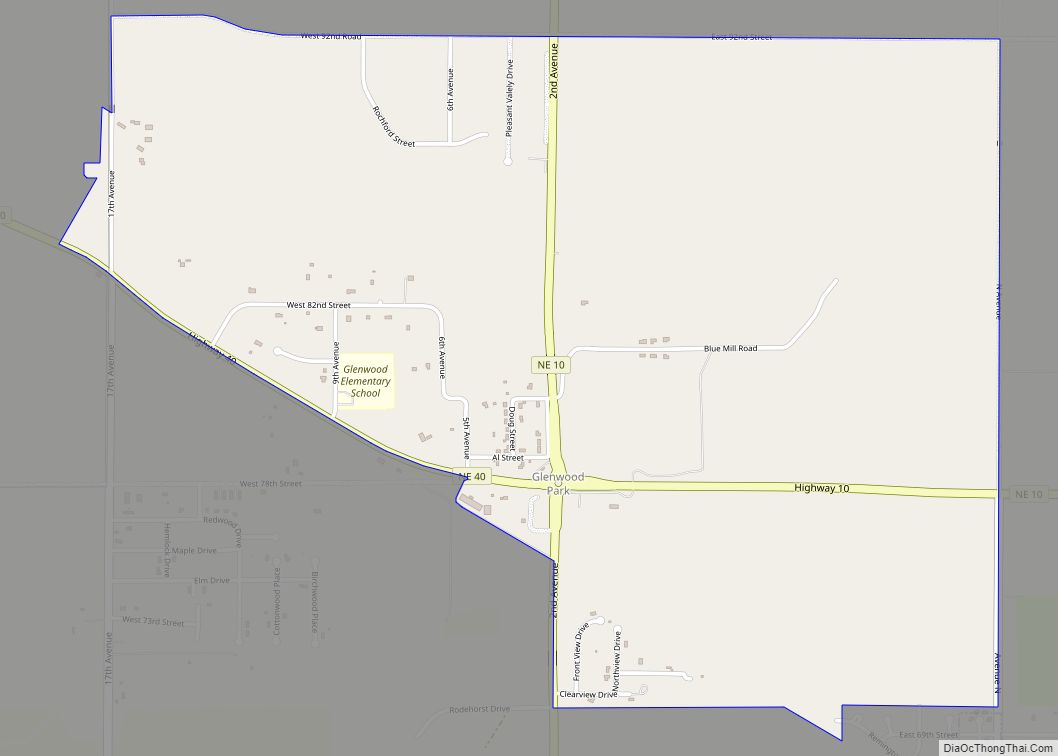
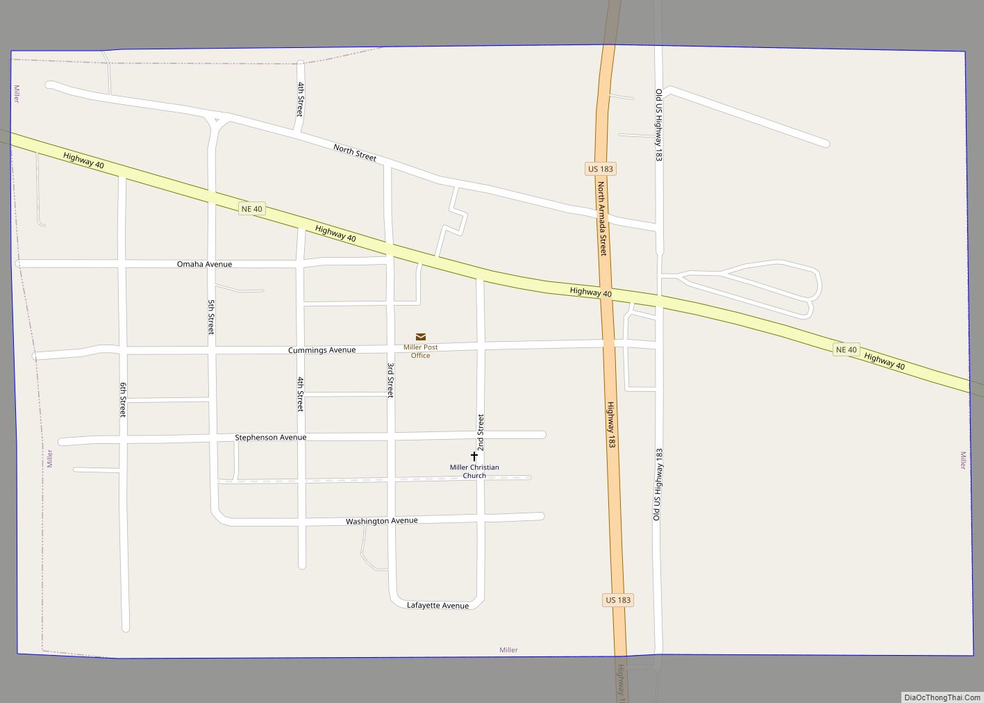
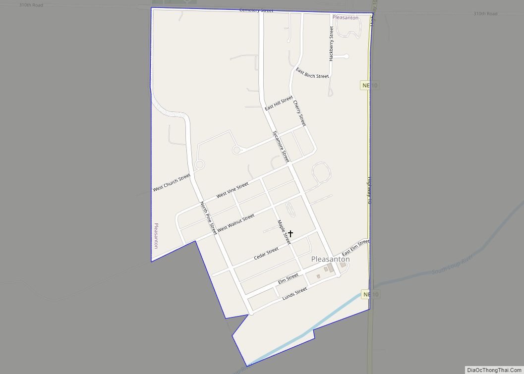
Online Interactive Map
Click on ![]() to view map in "full screen" mode.
to view map in "full screen" mode.
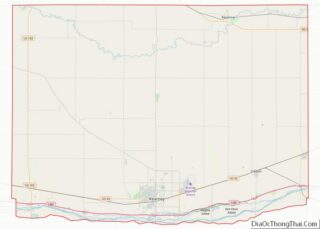
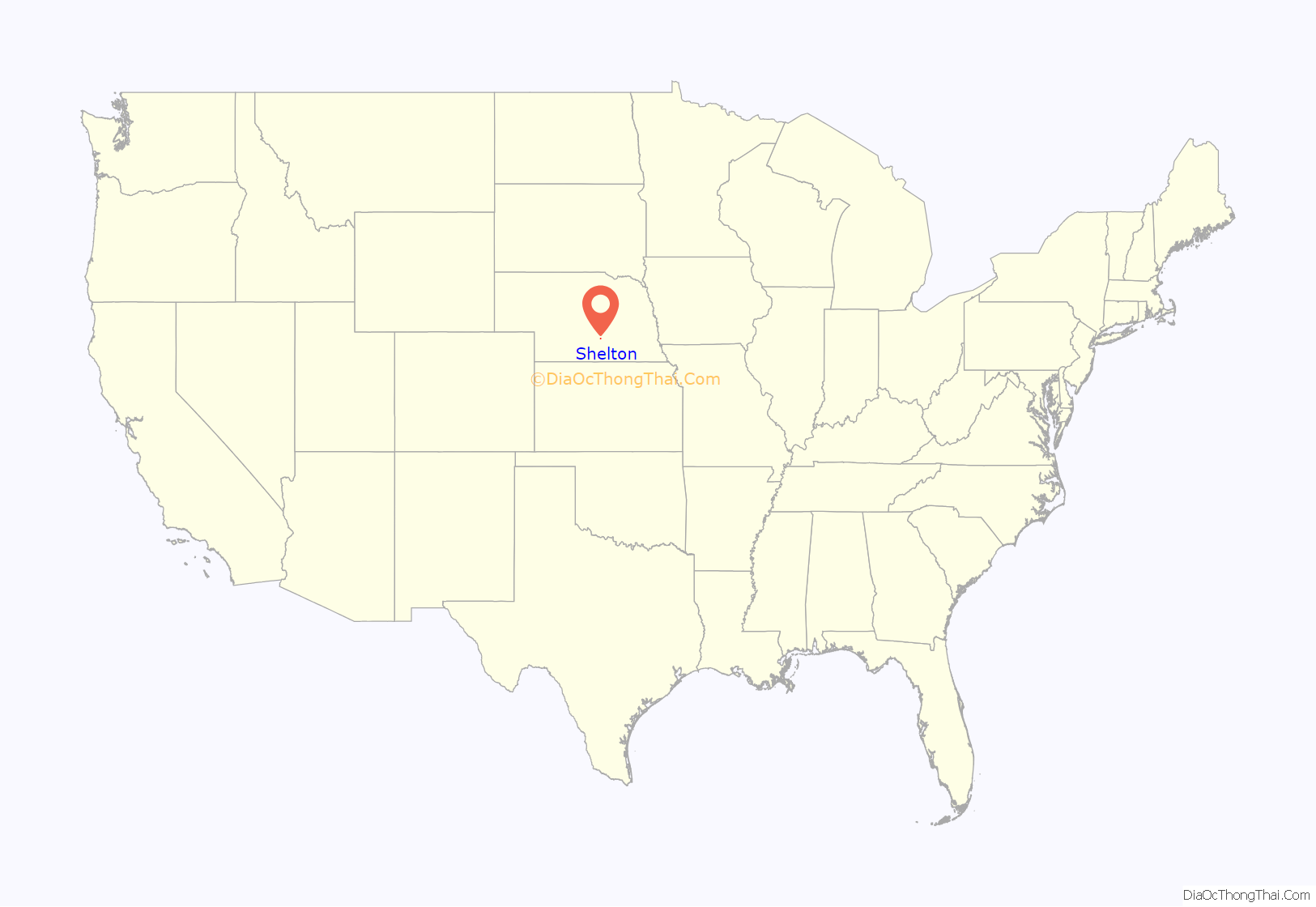
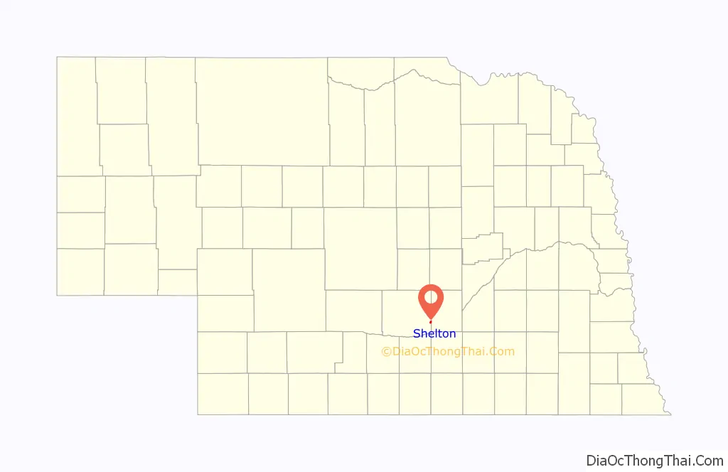
Shelton location map. Where is Shelton village?
History
Shelton, evolving from Wood River Centre, is one of the older communities in Nebraska. The first European settler to live in the area was a Mormon by the name of Joseph Johnson in 1858. His store, blacksmithery, wagon repair shop, tintype gallery, bakery, place where meals could be obtained, and printing office served early pioneers. The “Huntsman’s Echo”, his publication, was the first newspaper west of Omaha and was established in April 1860. His establishment (Johnson’s Ranche) found itself as an important point of supply serving Mormons and other travelers on the Council Bluffs Road.
Prior to service by the railroad, The Great Western Stage Company established a stage station at Wood River Center in 1860 to serve its Fort Kearny route. The Union Pacific Railroad came to the area in 1866; with additional settlers, the need to establish government was realized. Patrick Walsh, Martin Slattery, and a Sergeant Cody petitioned the governor to organize Buffalo County in 1869. Wood River Centre (Shelton) was selected through election to be the county seat. Within a year, the seat was moved to Gibbon.
Patrick Walsh, the community postman, wrote the Postmaster General in 1873 with the plea to change the name of Wood River Centre to Shelton to avoid confusion with Wood River, a community to the east. The post office name was changed from Wood River Center to Shelton on February 3, 1873. Shelton held the name of Wood River Center from 1860 to about 1873. No further correspondence about the naming of Shelton is recorded. The name, Shelton, is derived from the name of an auditor for the Union Pacific Railroad, Nathan Shelton.
The original townsite was surveyed from the homestead farm of Patrick Walsh, followed by a survey from the Union Pacific Railway Company. It was 1876 before the Union Pacific established a station. With incorporation in 1882, the community grew and was home to “The Shelton Clipper” formerly “The Shelton Clarion”, several banks, and a community school. As early as 1866, people of the Shelton area organized together to form the first schoolhouse in Buffalo County. By 1876, a new school district was organized; it was legally known as No. 19 in Buffalo County. In January 1908, the community library was officially organized as the Shelton Public Library with a village tax being levied for its support. A Carnegie Library building was funded on April 7, 1913.
The population of Shelton has been relatively consistent since its early years, always maintaining a population around 1,000 individuals. The population of Shelton in 1910 was 1,005.
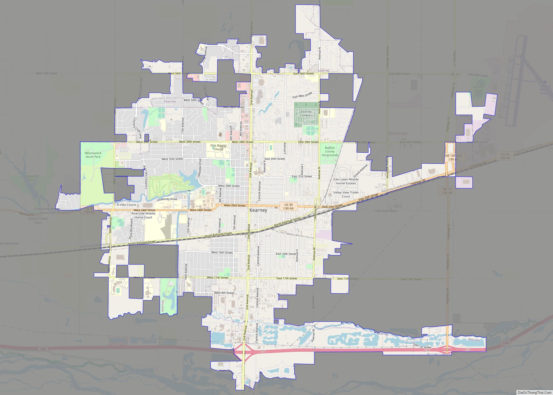
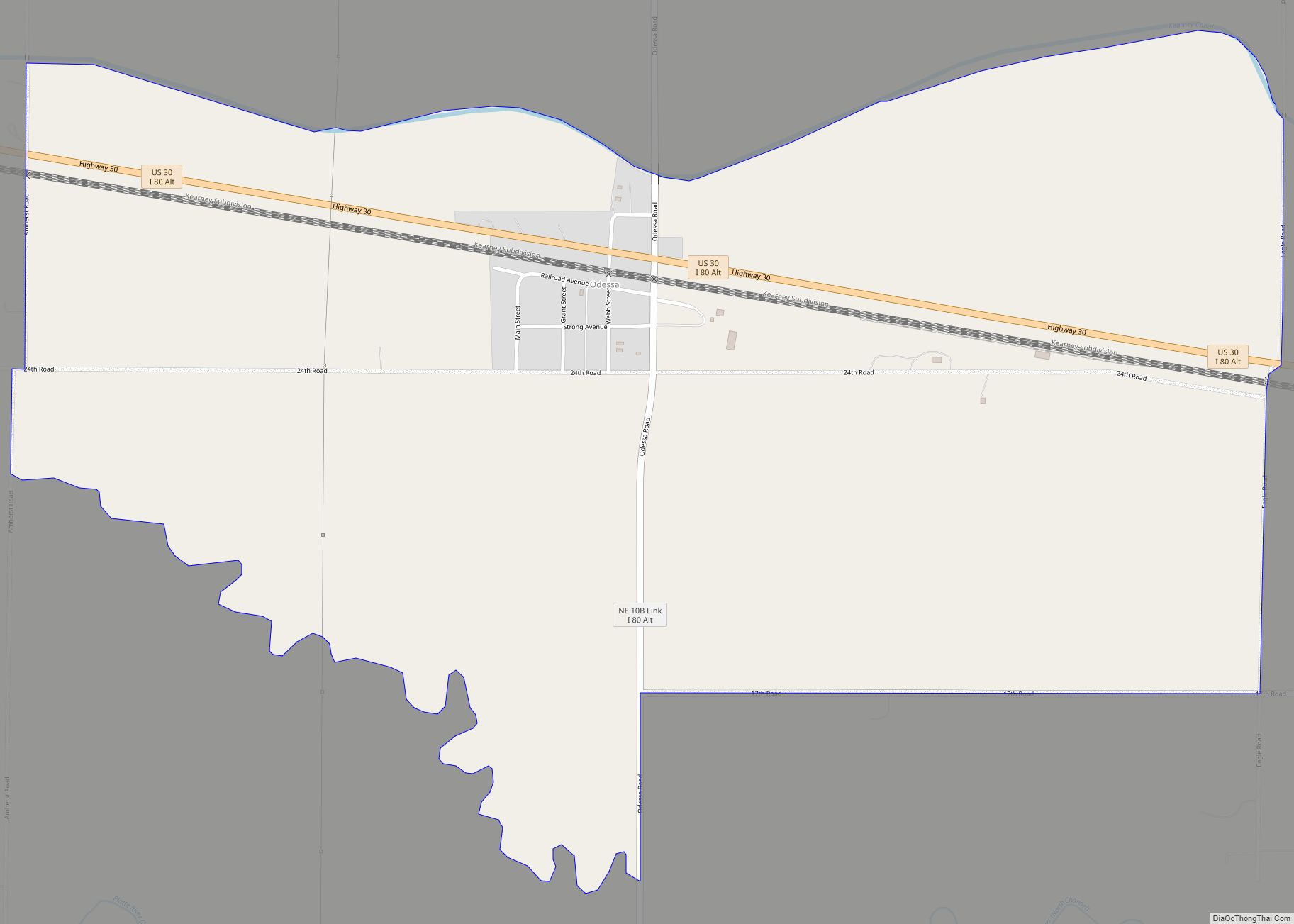
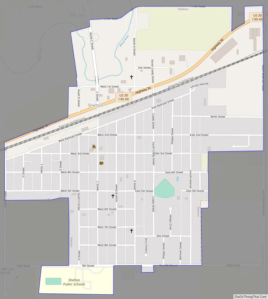
Shelton Road Map
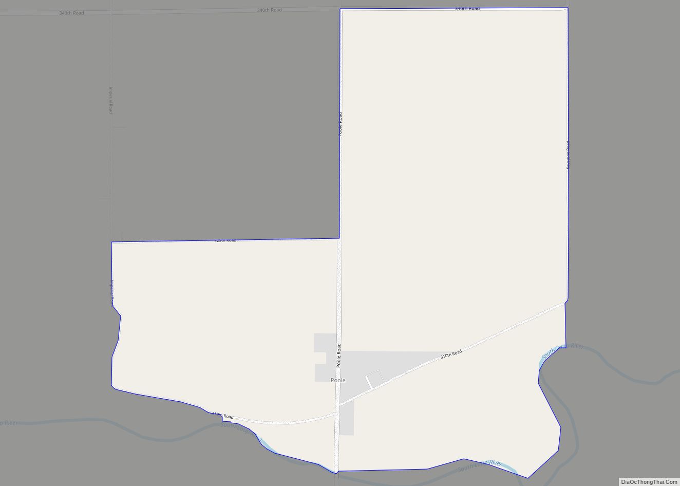
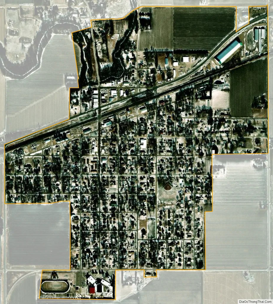
Shelton city Satellite Map
Geography
Shelton is located at 40°46′39″N 98°44′0″W / 40.77750°N 98.73333°W / 40.77750; -98.73333 (40.777487, -98.733282).
According to the United States Census Bureau, the village has a total area of 0.73 square miles (1.89 km), all land.
The downtown business district is situated near the banks of the Wood River and the historic Lincoln Highway (now U.S. Highway 30) passes through Shelton.
See also
Map of Nebraska State and its subdivision:- Adams
- Antelope
- Arthur
- Banner
- Blaine
- Boone
- Box Butte
- Boyd
- Brown
- Buffalo
- Burt
- Butler
- Cass
- Cedar
- Chase
- Cherry
- Cheyenne
- Clay
- Colfax
- Cuming
- Custer
- Dakota
- Dawes
- Dawson
- Deuel
- Dixon
- Dodge
- Douglas
- Dundy
- Fillmore
- Franklin
- Frontier
- Furnas
- Gage
- Garden
- Garfield
- Gosper
- Grant
- Greeley
- Hall
- Hamilton
- Harlan
- Hayes
- Hitchcock
- Holt
- Hooker
- Howard
- Jefferson
- Johnson
- Kearney
- Keith
- Keya Paha
- Kimball
- Knox
- Lancaster
- Lincoln
- Logan
- Loup
- Madison
- McPherson
- Merrick
- Morrill
- Nance
- Nemaha
- Nuckolls
- Otoe
- Pawnee
- Perkins
- Phelps
- Pierce
- Platte
- Polk
- Red Willow
- Richardson
- Rock
- Saline
- Sarpy
- Saunders
- Scotts Bluff
- Seward
- Sheridan
- Sherman
- Sioux
- Stanton
- Thayer
- Thomas
- Thurston
- Valley
- Washington
- Wayne
- Webster
- Wheeler
- York
- Alabama
- Alaska
- Arizona
- Arkansas
- California
- Colorado
- Connecticut
- Delaware
- District of Columbia
- Florida
- Georgia
- Hawaii
- Idaho
- Illinois
- Indiana
- Iowa
- Kansas
- Kentucky
- Louisiana
- Maine
- Maryland
- Massachusetts
- Michigan
- Minnesota
- Mississippi
- Missouri
- Montana
- Nebraska
- Nevada
- New Hampshire
- New Jersey
- New Mexico
- New York
- North Carolina
- North Dakota
- Ohio
- Oklahoma
- Oregon
- Pennsylvania
- Rhode Island
- South Carolina
- South Dakota
- Tennessee
- Texas
- Utah
- Vermont
- Virginia
- Washington
- West Virginia
- Wisconsin
- Wyoming