Tarnov is a village in Platte County, Nebraska, United States. The population was 46 at the 2010 census.
| Name: | Tarnov village |
|---|---|
| LSAD Code: | 47 |
| LSAD Description: | village (suffix) |
| State: | Nebraska |
| County: | Platte County |
| Elevation: | 1,650 ft (503 m) |
| Total Area: | 0.03 sq mi (0.08 km²) |
| Land Area: | 0.03 sq mi (0.08 km²) |
| Water Area: | 0.00 sq mi (0.00 km²) |
| Total Population: | 52 |
| Population Density: | 1,625.00/sq mi (632.10/km²) |
| ZIP code: | 68642 |
| Area code: | 402 |
| FIPS code: | 3148410 |
| GNISfeature ID: | 0834038 |
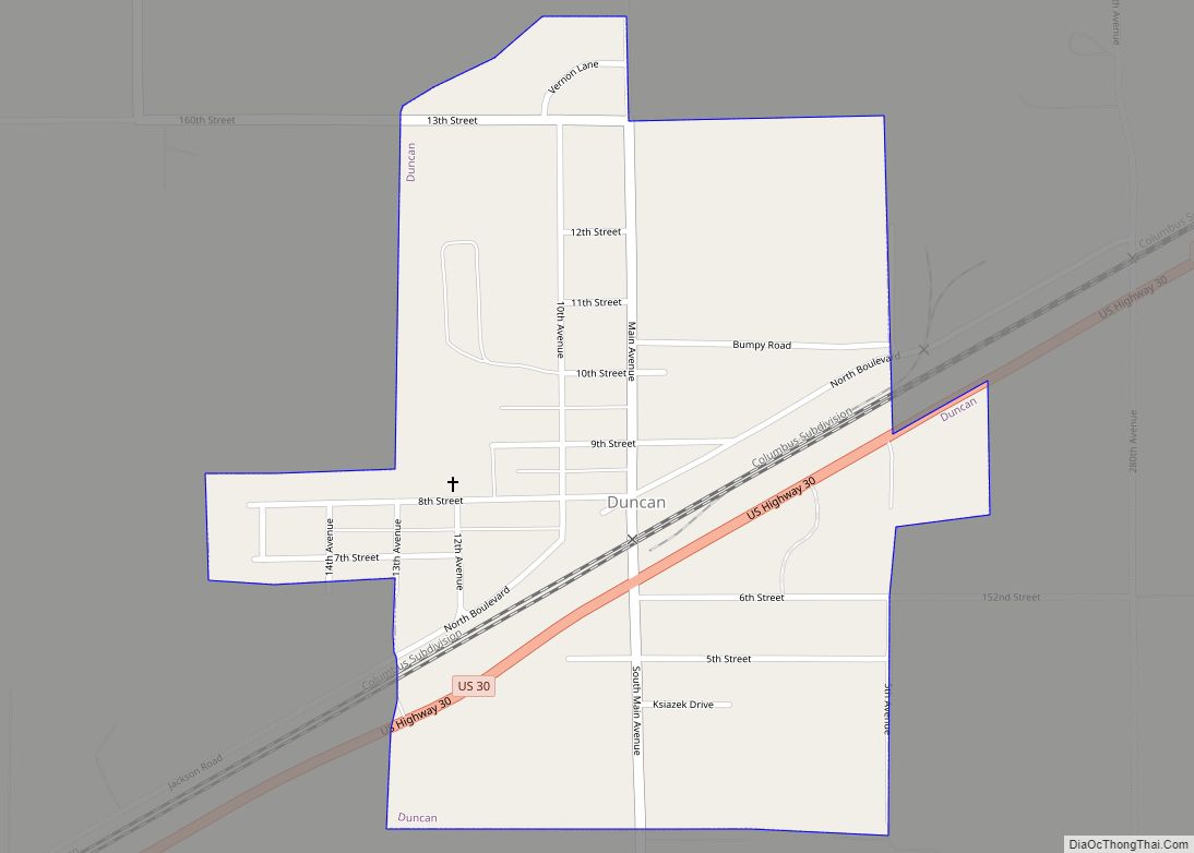
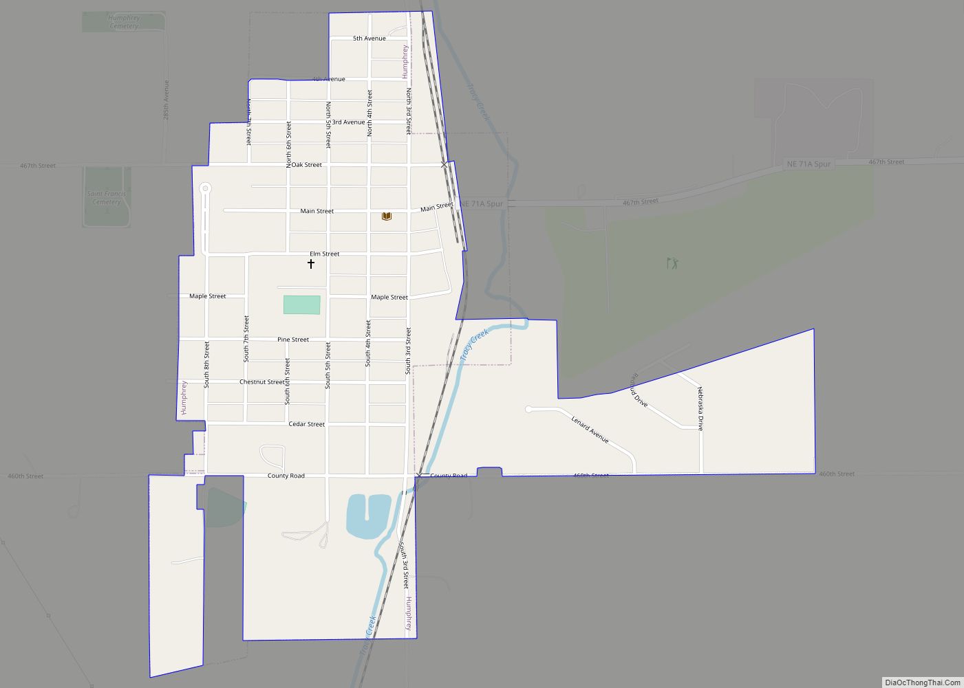
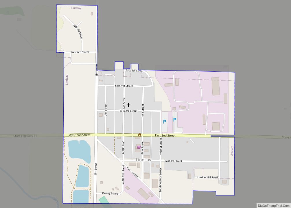
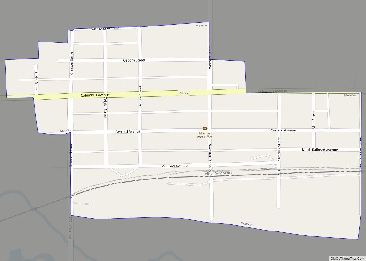
Online Interactive Map
Click on ![]() to view map in "full screen" mode.
to view map in "full screen" mode.
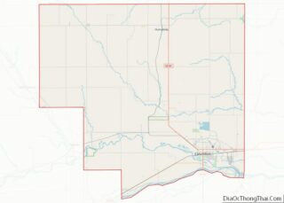
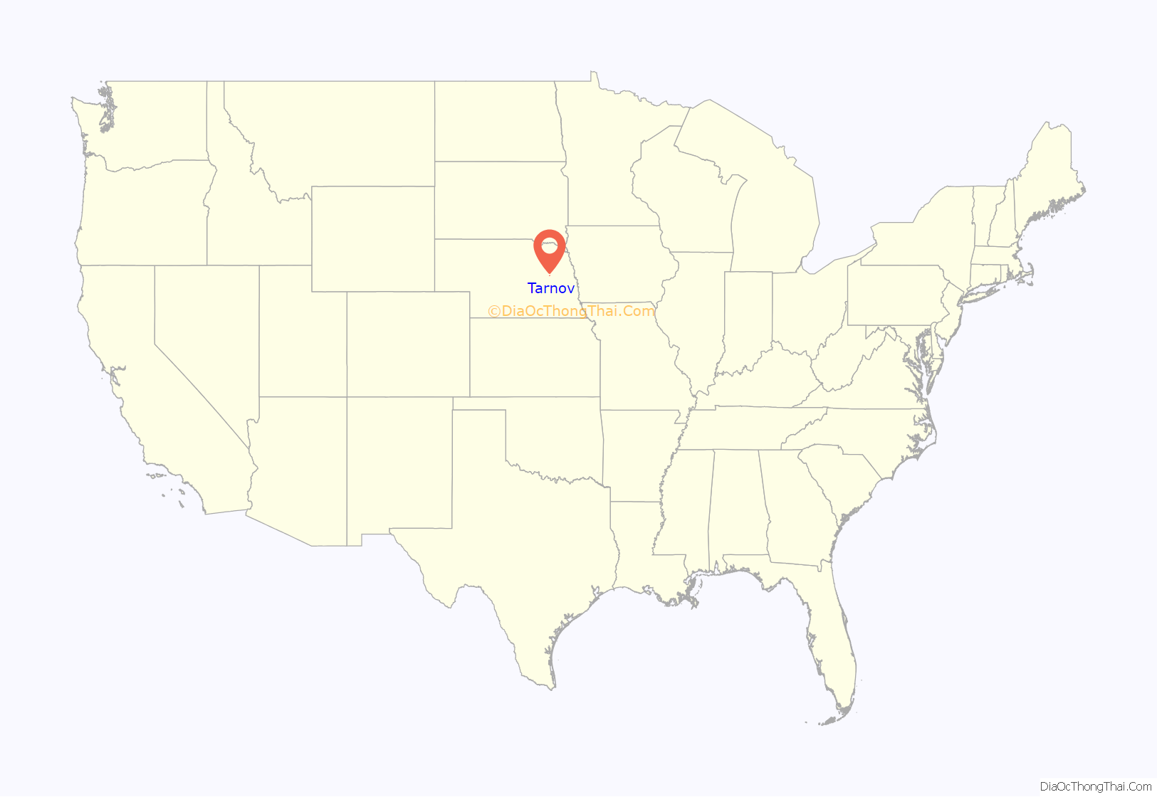
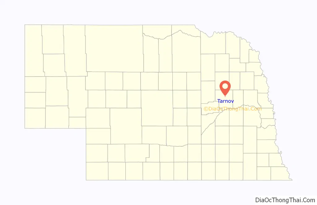
Tarnov location map. Where is Tarnov village?
History
Tarnov was laid out in 1889. A large share of the early settlers being natives of Tarnów, Poland, caused the name to be selected.
A post office was established at Tarnov in 1891, and remained in operation until it was discontinued in 1969.
On August 19, 1943, the U.S. Army dropped seven practice bombs on Tarnov, mistaking it for either the Stanton Bombing Range, which was located 25 miles to the northeast, or a bombing range to the southwest, near Silver Creek. The B-17s, from the Sioux City, Iowa, Army Air Field, did little damage and no one was injured or killed.
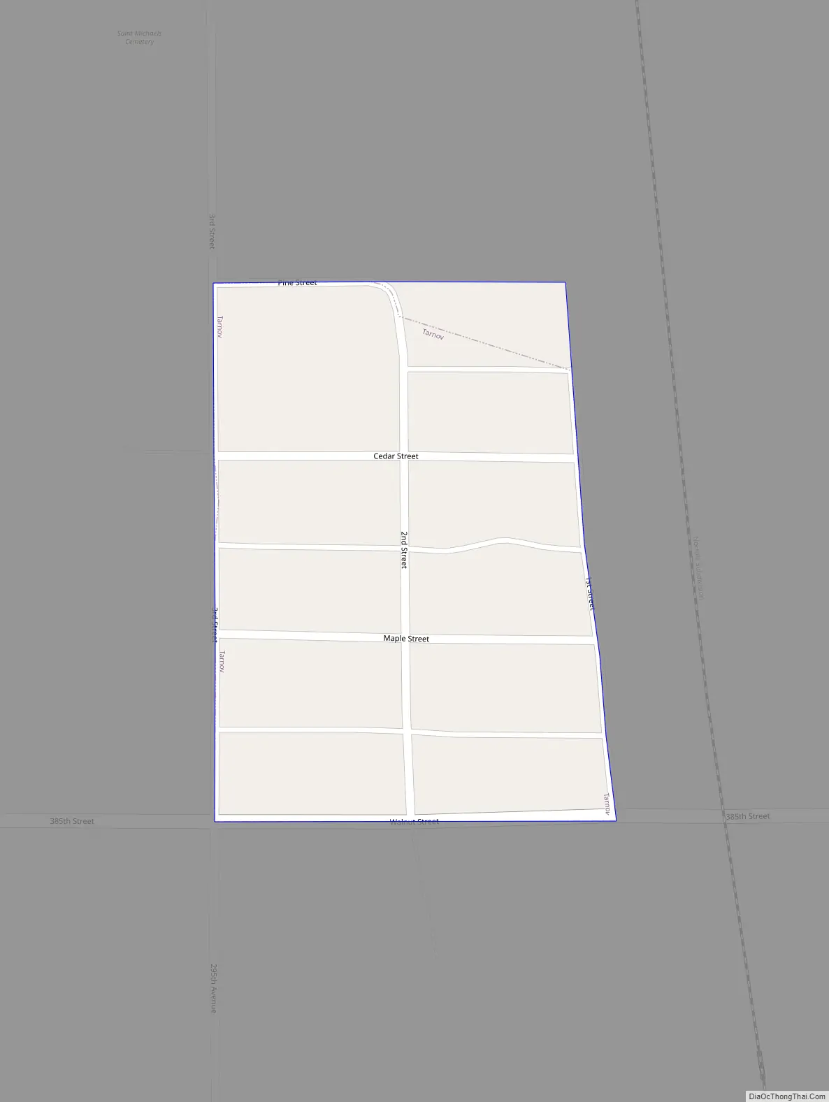
Tarnov Road Map
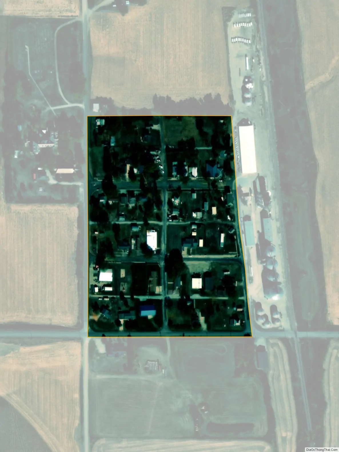
Tarnov city Satellite Map
Geography
Tarnov is located at 41°36′54″N 97°30′11″W / 41.61500°N 97.50306°W / 41.61500; -97.50306 (41.614893, -97.503162).
According to the United States Census Bureau, the village has a total area of 0.03 square miles (0.08 km), all land.
See also
Map of Nebraska State and its subdivision:- Adams
- Antelope
- Arthur
- Banner
- Blaine
- Boone
- Box Butte
- Boyd
- Brown
- Buffalo
- Burt
- Butler
- Cass
- Cedar
- Chase
- Cherry
- Cheyenne
- Clay
- Colfax
- Cuming
- Custer
- Dakota
- Dawes
- Dawson
- Deuel
- Dixon
- Dodge
- Douglas
- Dundy
- Fillmore
- Franklin
- Frontier
- Furnas
- Gage
- Garden
- Garfield
- Gosper
- Grant
- Greeley
- Hall
- Hamilton
- Harlan
- Hayes
- Hitchcock
- Holt
- Hooker
- Howard
- Jefferson
- Johnson
- Kearney
- Keith
- Keya Paha
- Kimball
- Knox
- Lancaster
- Lincoln
- Logan
- Loup
- Madison
- McPherson
- Merrick
- Morrill
- Nance
- Nemaha
- Nuckolls
- Otoe
- Pawnee
- Perkins
- Phelps
- Pierce
- Platte
- Polk
- Red Willow
- Richardson
- Rock
- Saline
- Sarpy
- Saunders
- Scotts Bluff
- Seward
- Sheridan
- Sherman
- Sioux
- Stanton
- Thayer
- Thomas
- Thurston
- Valley
- Washington
- Wayne
- Webster
- Wheeler
- York
- Alabama
- Alaska
- Arizona
- Arkansas
- California
- Colorado
- Connecticut
- Delaware
- District of Columbia
- Florida
- Georgia
- Hawaii
- Idaho
- Illinois
- Indiana
- Iowa
- Kansas
- Kentucky
- Louisiana
- Maine
- Maryland
- Massachusetts
- Michigan
- Minnesota
- Mississippi
- Missouri
- Montana
- Nebraska
- Nevada
- New Hampshire
- New Jersey
- New Mexico
- New York
- North Carolina
- North Dakota
- Ohio
- Oklahoma
- Oregon
- Pennsylvania
- Rhode Island
- South Carolina
- South Dakota
- Tennessee
- Texas
- Utah
- Vermont
- Virginia
- Washington
- West Virginia
- Wisconsin
- Wyoming