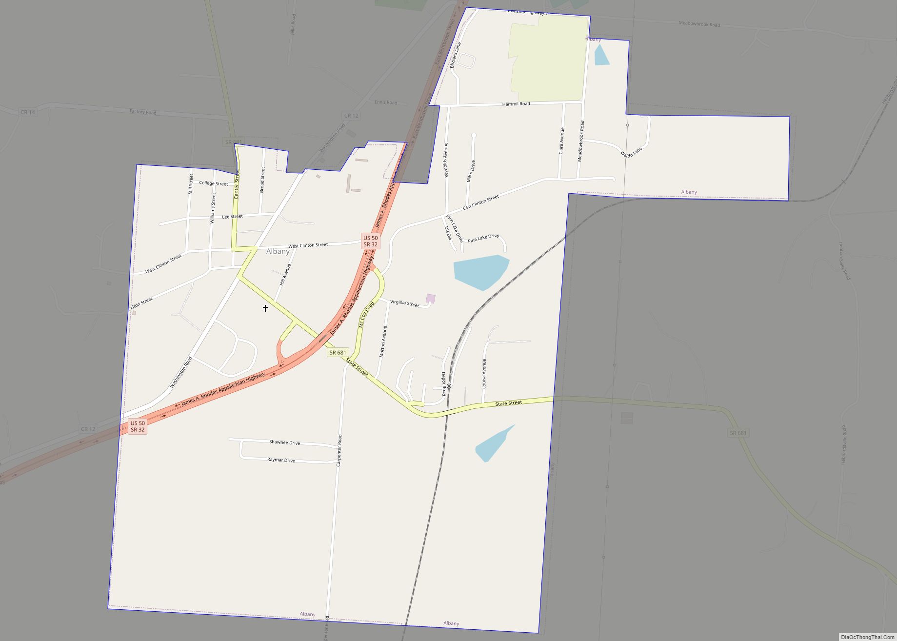
Albany is a village in Athens County, Ohio, United States. The population was 917 at the 2020 census.
| Name: | Albany village |
|---|---|
| LSAD Code: | 47 |
| LSAD Description: | village (suffix) |
| State: | Ohio |
| County: | Athens County |
| Elevation: | 758 ft (231 m) |
| Total Area: | 1.35 sq mi (3.49 km²) |
| Land Area: | 1.33 sq mi (3.45 km²) |
| Water Area: | 0.01 sq mi (0.04 km²) |
| Total Population: | 917 |
| Population Density: | 688.44/sq mi (265.72/km²) |
| ZIP code: | 45710 |
| Area code: | 740 |
| FIPS code: | 3901042 |
| GNISfeature ID: | 1060817 |
| Website: | www.albanyoh.org |
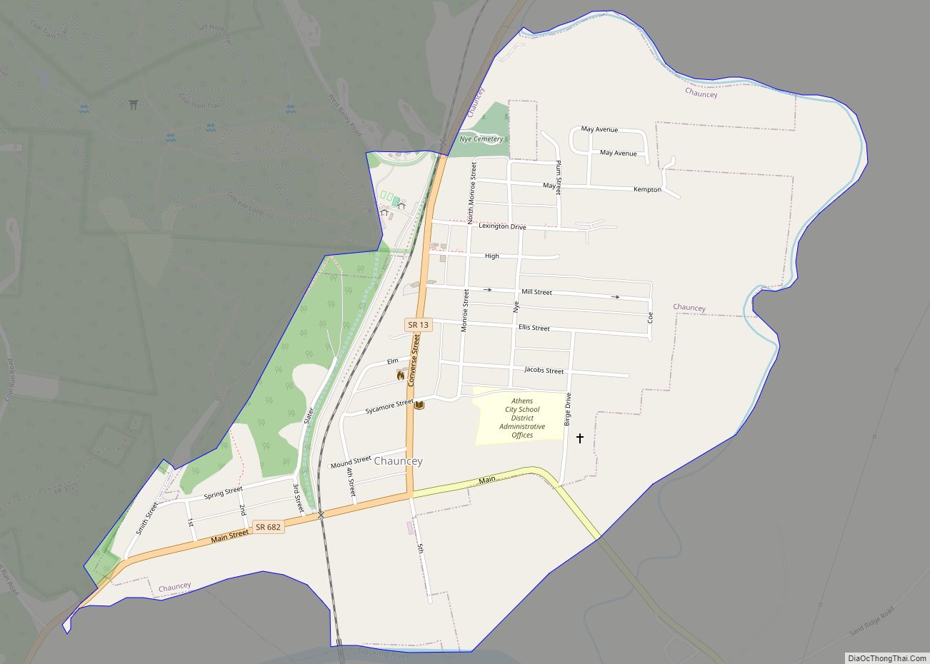
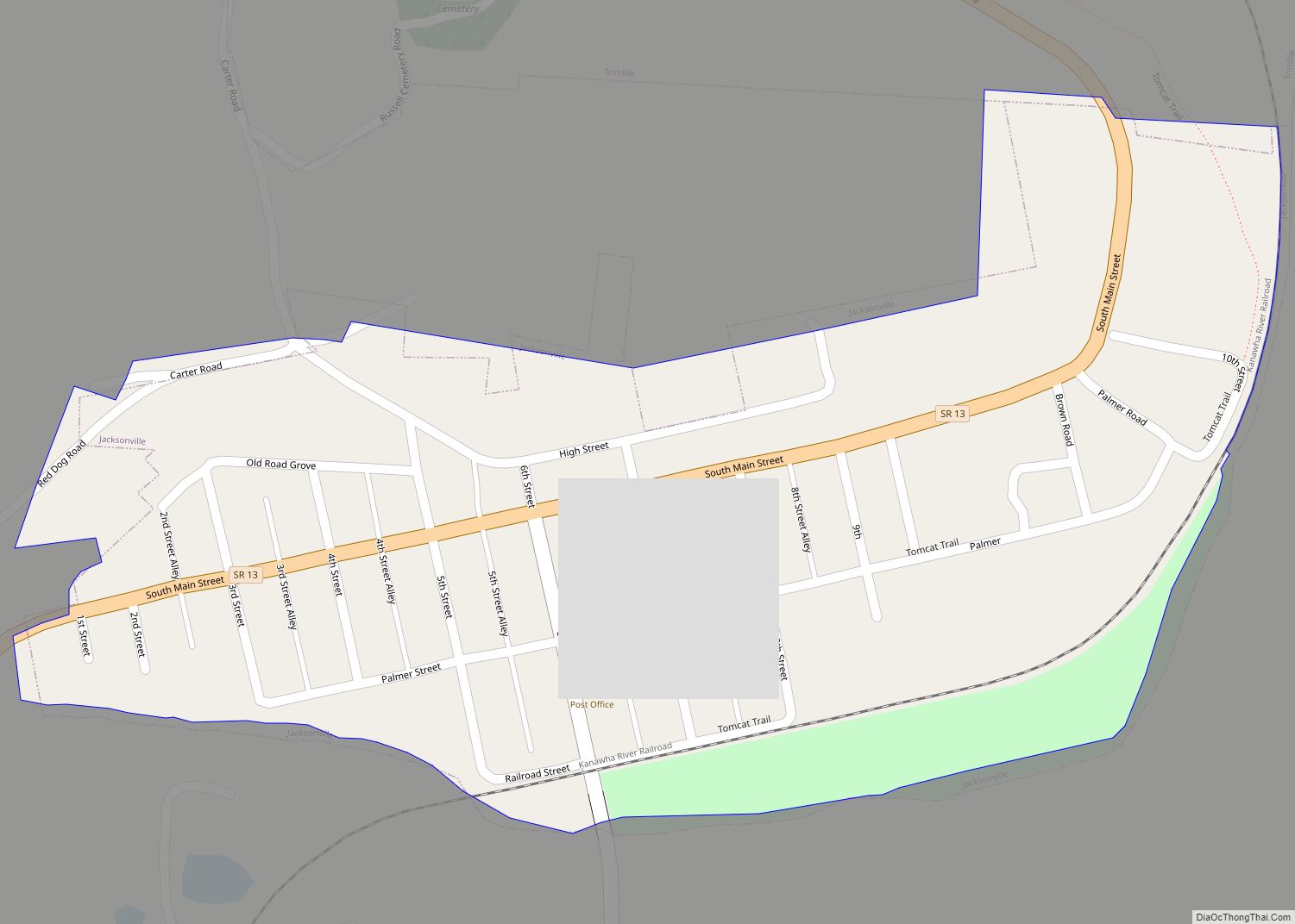
Online Interactive Map
Click on ![]() to view map in "full screen" mode.
to view map in "full screen" mode.
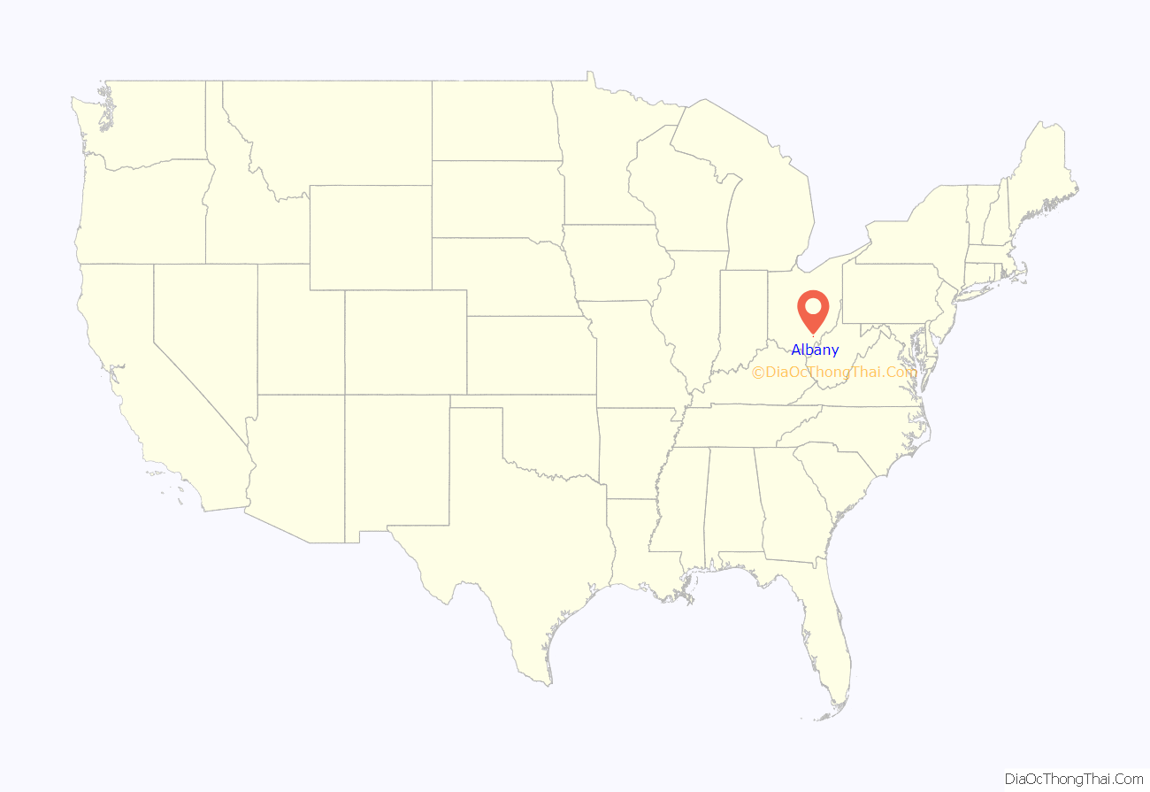
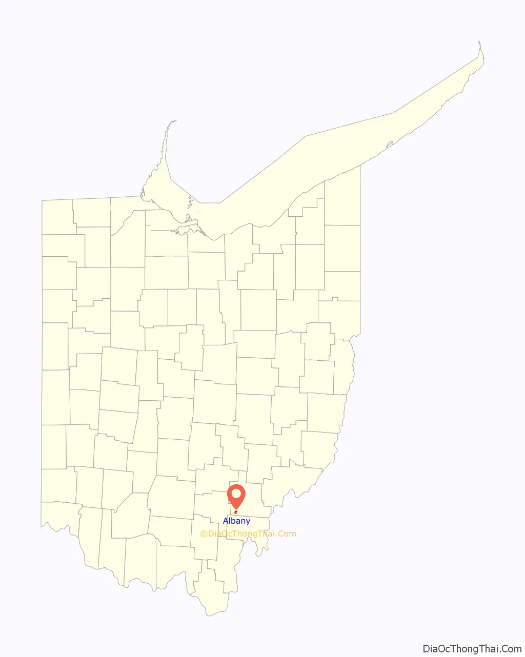
Albany location map. Where is Albany village?
History
Albany was laid out in about 1832. It was incorporated as a village in 1842.
The small rural village became one of several stops in Athens County for the Underground Railroad, as fugitives could come upriver on the Hocking River from the Ohio River. Free blacks, many of whom had migrated from the Upper South to escape its discrimination, also settled the village in the mid-19th century.
The black population increased during the 1850s from four in the township to 174 by 1860. In 1860, 70 members of the black community were from the South: 53 from Virginia and 17 from other slave states.
African American education in Albany
Although Ohio laws made attending public schools difficult for African-American children, private schools in Albany offered educational opportunities to them that were unavailable in most parts of the state.
In 1848, William S. Lewis founded the Lewis Academy, which admitted students regardless of race or gender. Lewis’s admission policies were influenced by the liberal ideals of Oberlin College, which he had attended as a student.
In 1850, a joint-stock company took over administration of Lewis Academy, and the name was changed to the Albany Manual Labor Academy, and then later to the Albany Manual Labor University (AMLU). The school continued to admit students of all genders and races. Slaveholders were not permitted to become shareholders. Students with financial need could borrow money from the institution and repay their tuition by working two hours a day in the manual labor department: farming land owned by the school, operating the school’s saw-mill, or making bricks.
The academy’s constitution stated that the institution’s primary goal was:
The constitution also required that one woman and one African American sit on the board. Philip Clay, a former slave from Virginia who was a successful shoemaker in Albany, was one of the first members of the board. Notable Ohio abolitionists served as trustees and board members, including John Brown, an Albany merchant and activist with the Underground Railroad, and Salmon P. Chase, twice U.S. Senator from Ohio, Governor of Ohio and future Chief Justice of the Supreme Court.
AMLU had its peak enrollment of 284 students in 1857, but suffered financial problems. In 1862, a denominational church group, Albany’s Free Will Baptists, took over management of the school. They ended the admission of African Americans. The outbreak of the Civil War resulted in a decline in the number of students, and the academy closed.
To ensure the education of their children, African Americans from the county and state founded the private Albany Enterprise Academy in 1862. It was the first school in Athens County founded exclusively by and for African Americans. It operated until 1886. Founders included leaders of the black community such as Thomas Jefferson Furguson (co-founder of the Ohio Colored Teacher’s Association, member of the Albany City Council, and the first black to serve on a jury in Athens County), Cornelius Berry (father of Edward Berry of the Berry Hotel), Philip Clay, David Norman, Woodrow Wiley, and Jackson Wiley. A two-story building was constructed and the school opened in 1864, with 49 students already enrolled.
In 1864, the board advertised their academy in a broadsheet, saying:
The Enterprise Academy had in “excess of one hundred students” in its early years of operation (for comparison, about the same number then enrolled at Ohio University at the same time). With the increase in students, a second building for a girl’s dormitory was built in 1870. By the late 1870s, many blacks had left the area for work in larger cities and local public integrated schools were available. As a result, the Enterprise Academy suffered declining enrollment; it closed in 1886.
May 1911 Fire
In the predawn hours of May 2, 1911, one of the most disastrous fires to ever happen in the village destroyed an entire block in downtown Albany. Six stores, a hotel, and several residences burned to the ground. A strong wind helped the fire grow throughout the wood-framed structures. Within just an hour and a half all of the buildings on that side of Main Street were destroyed except for the post office and telephone building. The heat was so intense that buildings across the street were threatened and many windows were broken. Scores of men worked several hours to contain the fire and keep it from spreading further.
14 years earlier the other side of this block burned and most of those buildings were rebuilt with brick structures.
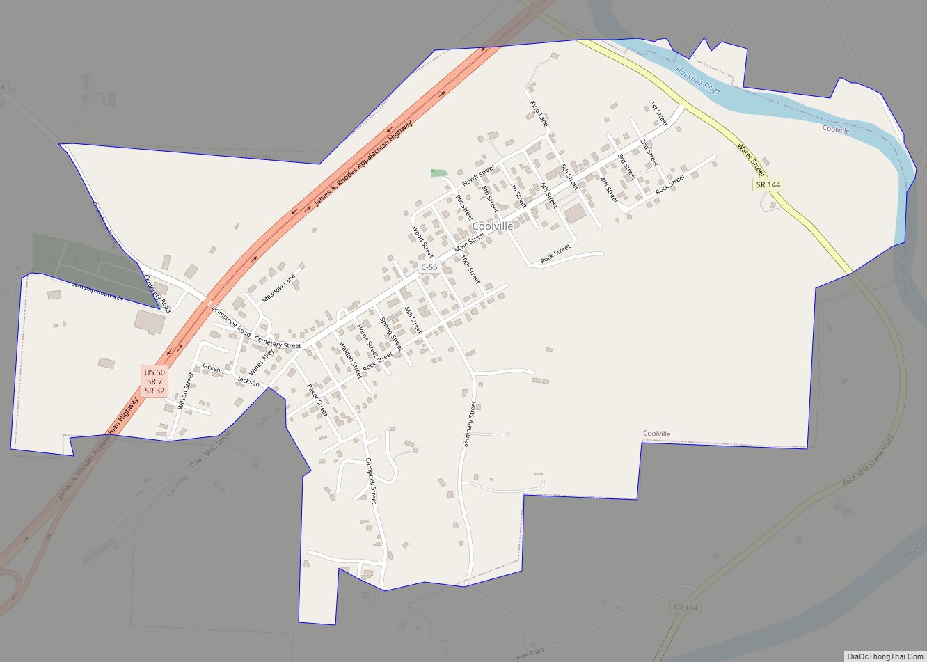
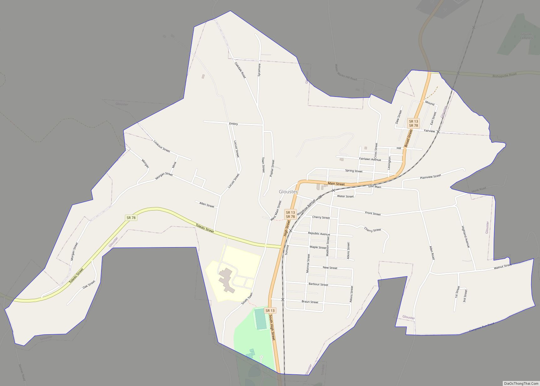
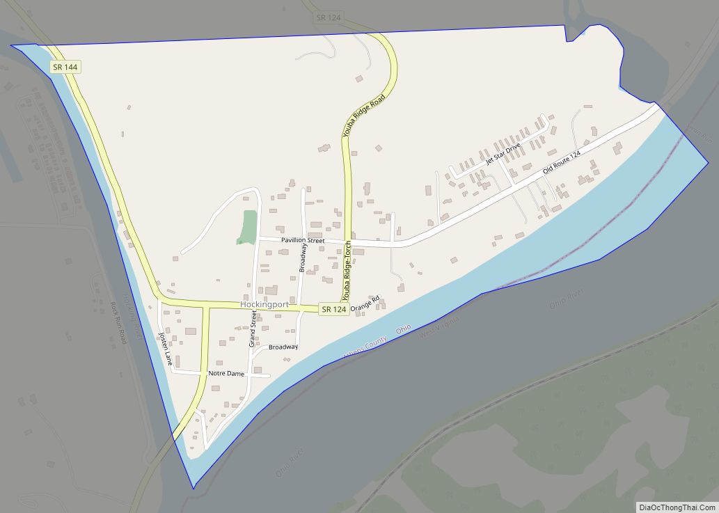
Albany Road Map
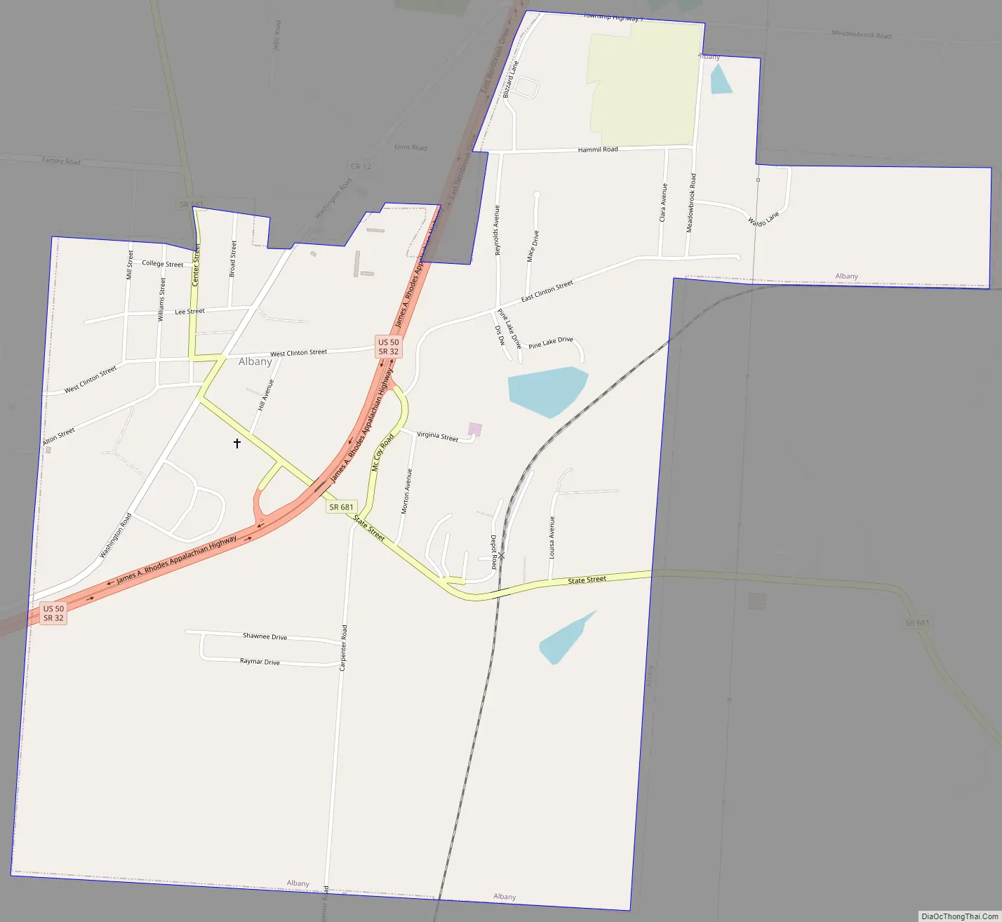
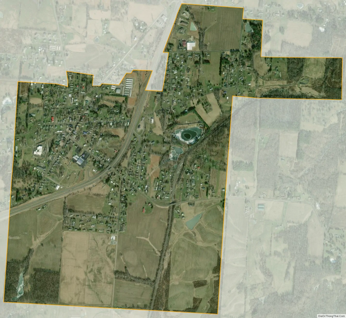
Albany city Satellite Map
Geography
Albany is located at 39°13′44″N 82°12′1″W / 39.22889°N 82.20028°W / 39.22889; -82.20028 (39.228787, -82.200363).
According to the United States Census Bureau, the village has a total area of 1.27 square miles (3.29 km), of which 1.25 square miles (3.24 km) is land and 0.02 square miles (0.05 km) is water.
See also
Map of Ohio State and its subdivision:- Adams
- Allen
- Ashland
- Ashtabula
- Athens
- Auglaize
- Belmont
- Brown
- Butler
- Carroll
- Champaign
- Clark
- Clermont
- Clinton
- Columbiana
- Coshocton
- Crawford
- Cuyahoga
- Darke
- Defiance
- Delaware
- Erie
- Fairfield
- Fayette
- Franklin
- Fulton
- Gallia
- Geauga
- Greene
- Guernsey
- Hamilton
- Hancock
- Hardin
- Harrison
- Henry
- Highland
- Hocking
- Holmes
- Huron
- Jackson
- Jefferson
- Knox
- Lake
- Lake Erie
- Lawrence
- Licking
- Logan
- Lorain
- Lucas
- Madison
- Mahoning
- Marion
- Medina
- Meigs
- Mercer
- Miami
- Monroe
- Montgomery
- Morgan
- Morrow
- Muskingum
- Noble
- Ottawa
- Paulding
- Perry
- Pickaway
- Pike
- Portage
- Preble
- Putnam
- Richland
- Ross
- Sandusky
- Scioto
- Seneca
- Shelby
- Stark
- Summit
- Trumbull
- Tuscarawas
- Union
- Van Wert
- Vinton
- Warren
- Washington
- Wayne
- Williams
- Wood
- Wyandot
- Alabama
- Alaska
- Arizona
- Arkansas
- California
- Colorado
- Connecticut
- Delaware
- District of Columbia
- Florida
- Georgia
- Hawaii
- Idaho
- Illinois
- Indiana
- Iowa
- Kansas
- Kentucky
- Louisiana
- Maine
- Maryland
- Massachusetts
- Michigan
- Minnesota
- Mississippi
- Missouri
- Montana
- Nebraska
- Nevada
- New Hampshire
- New Jersey
- New Mexico
- New York
- North Carolina
- North Dakota
- Ohio
- Oklahoma
- Oregon
- Pennsylvania
- Rhode Island
- South Carolina
- South Dakota
- Tennessee
- Texas
- Utah
- Vermont
- Virginia
- Washington
- West Virginia
- Wisconsin
- Wyoming