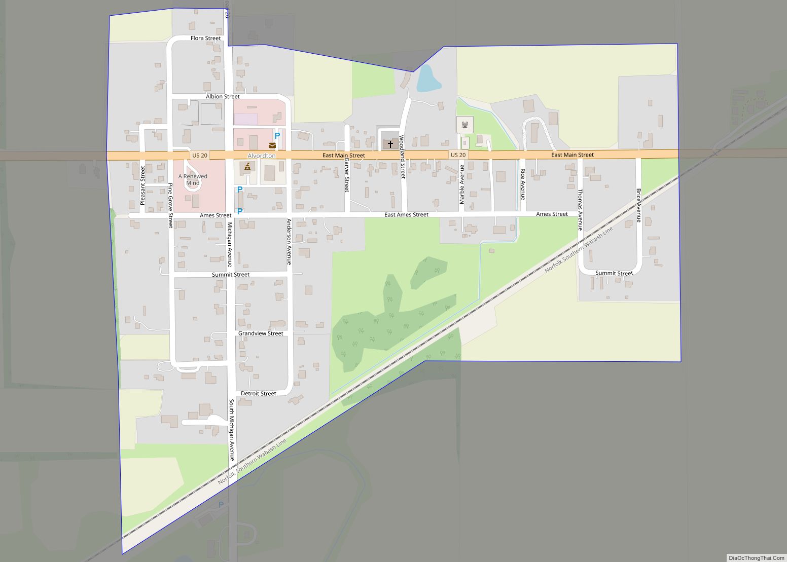
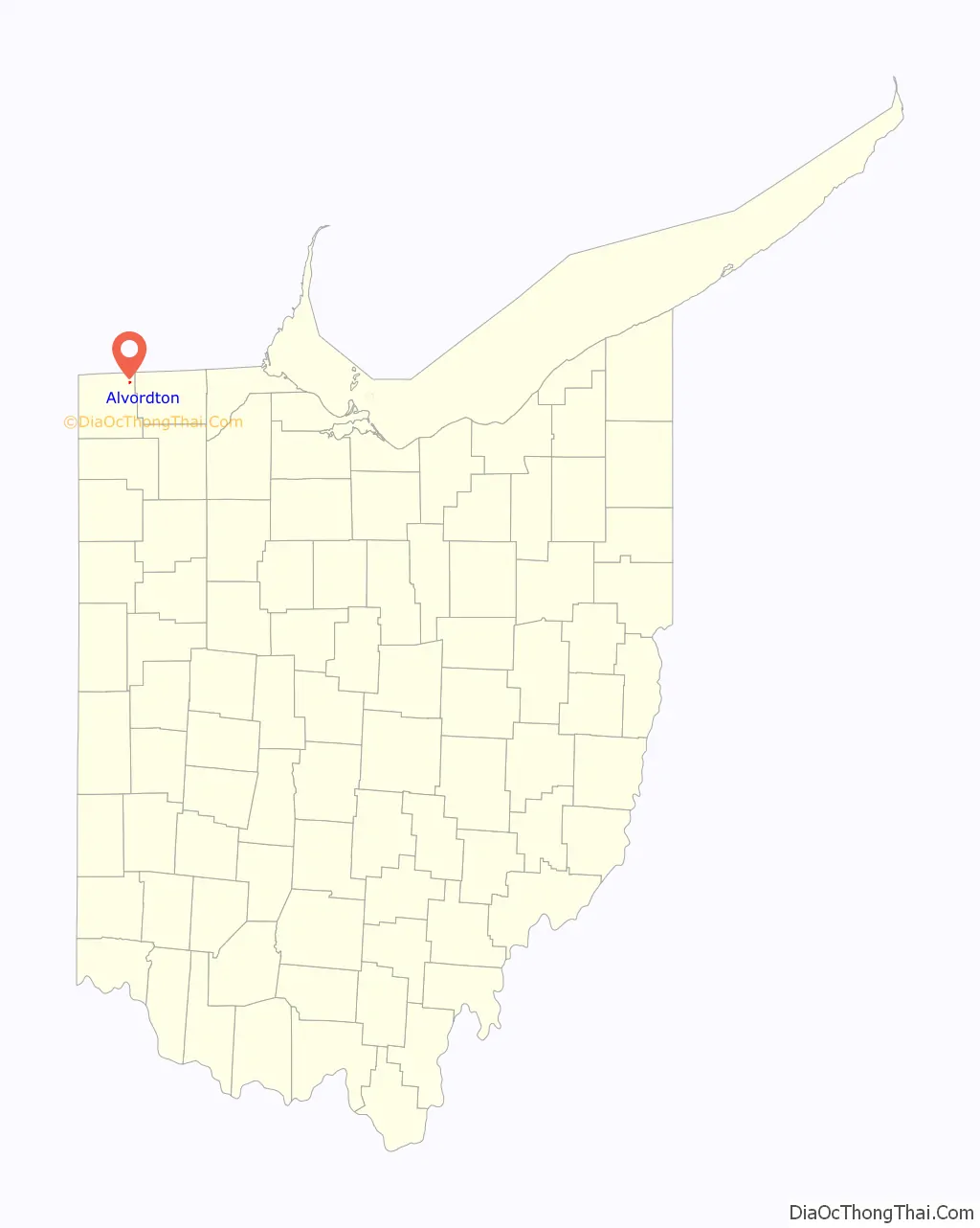
Alvordton is a census-designated place in central Mill Creek Township, Williams County, Ohio, United States. The population was 305 at the 2000 census, at which time it was a village. In 2010, the U.S. Census Bureau listed Alvordton as a census-designated place.
| Name: | Alvordton CDP |
|---|---|
| LSAD Code: | 57 |
| LSAD Description: | CDP (suffix) |
| State: | Ohio |
| County: | Williams County |
| Elevation: | 860 ft (262 m) |
| Total Area: | 0.25 sq mi (0.65 km²) |
| Land Area: | 0.25 sq mi (0.65 km²) |
| Water Area: | 0.00 sq mi (0.00 km²) |
| Total Population: | 200 |
| Population Density: | 793.65/sq mi (306.39/km²) |
| ZIP code: | 43501 |
| Area code: | 419 |
| FIPS code: | 3901588 |
| GNISfeature ID: | 1064318 |
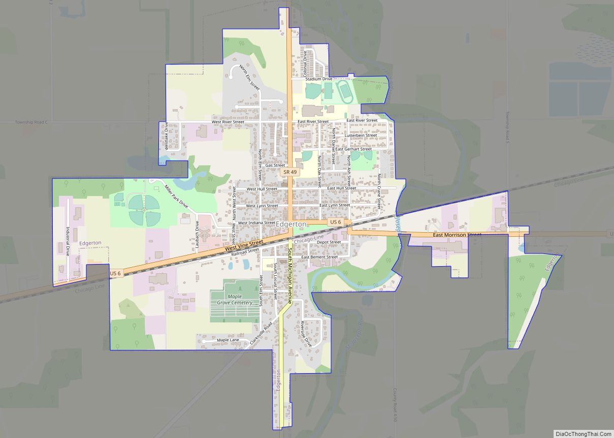
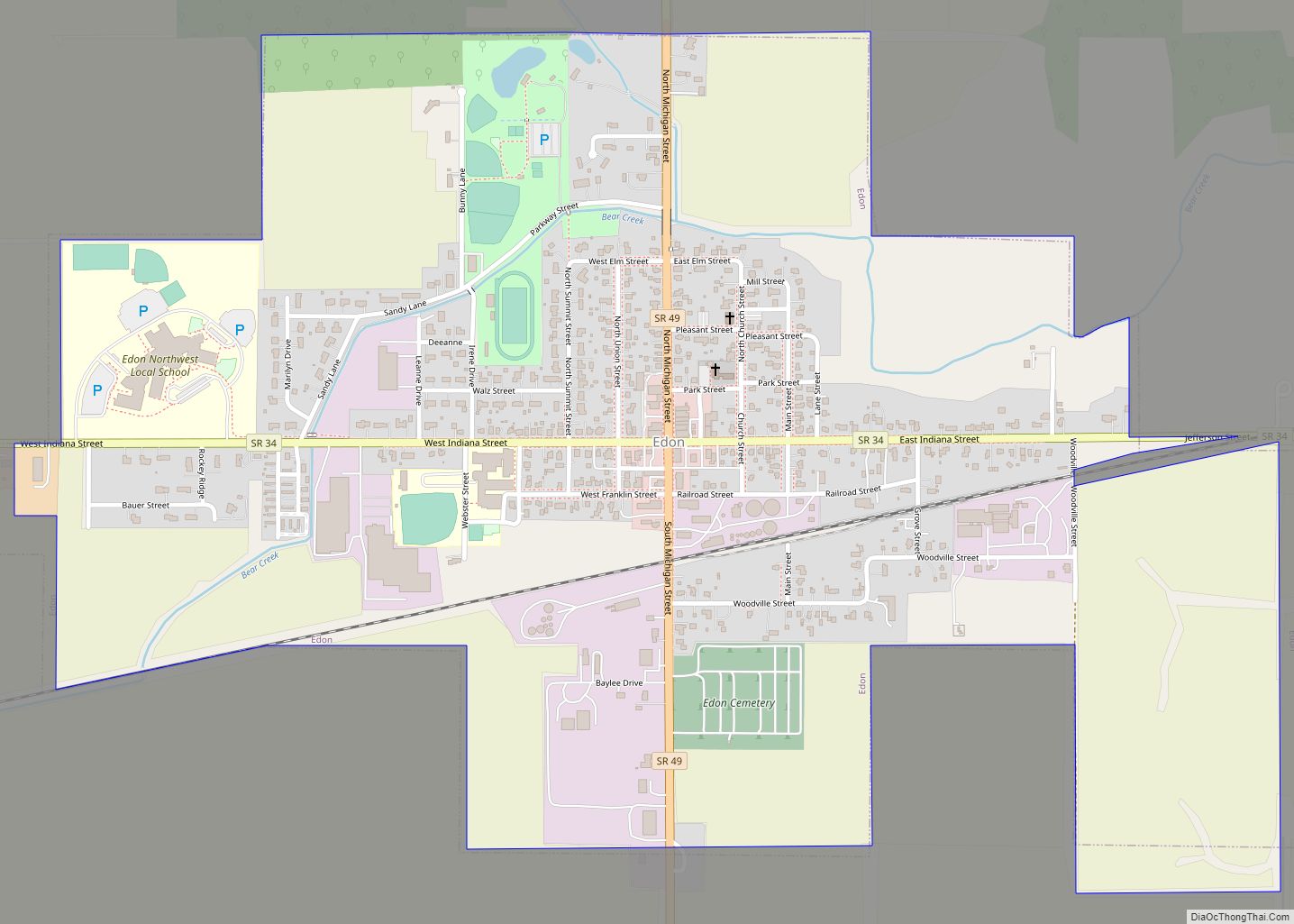
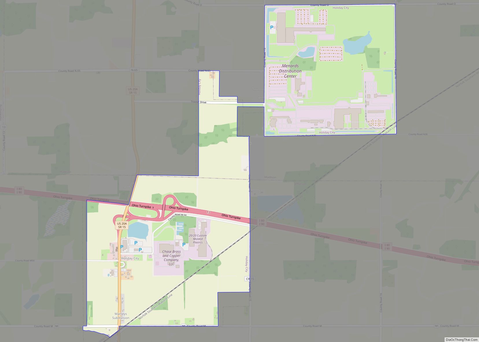
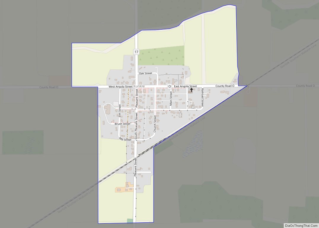
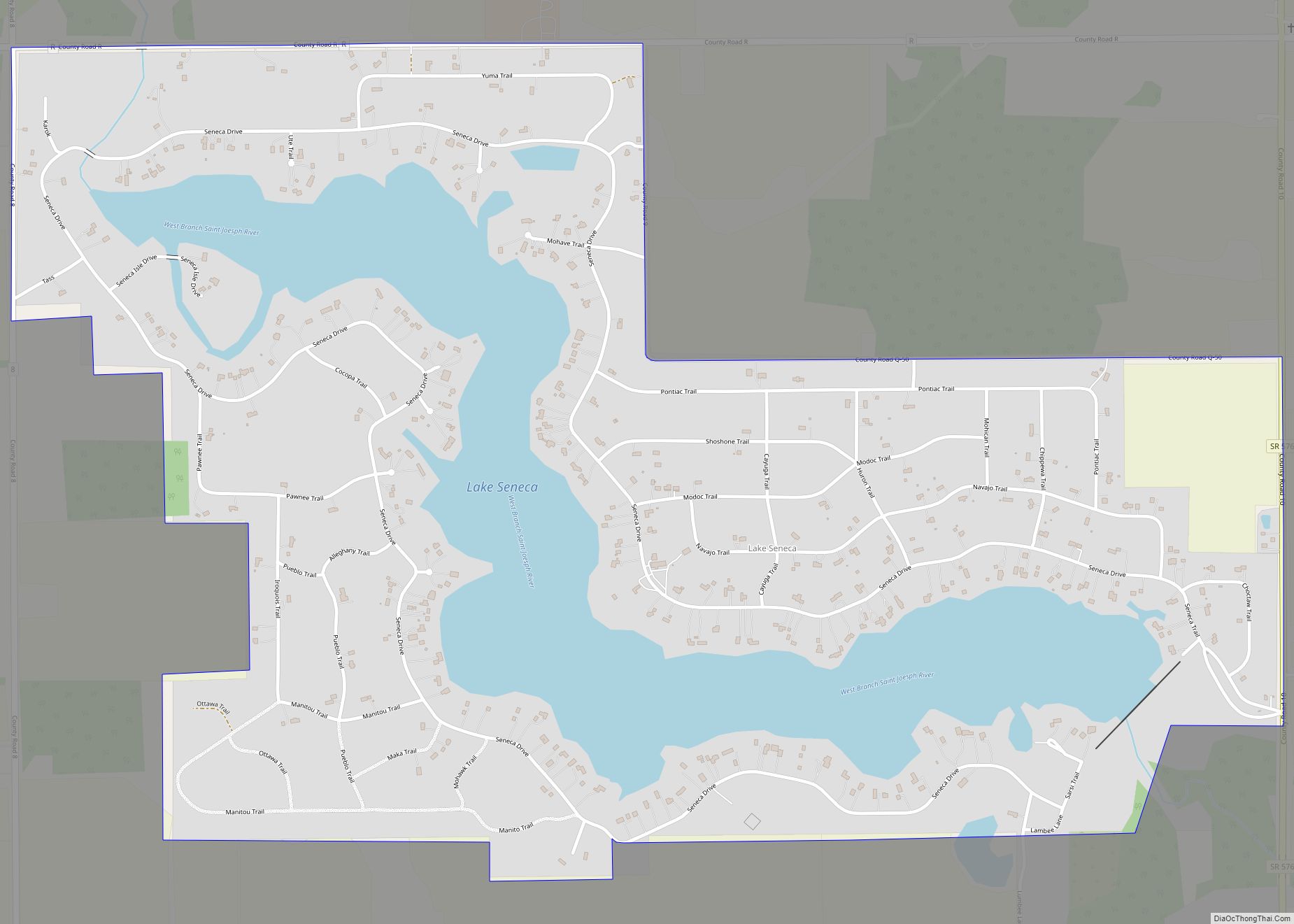
Online Interactive Map
Click on ![]() to view map in "full screen" mode.
to view map in "full screen" mode.
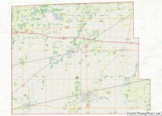
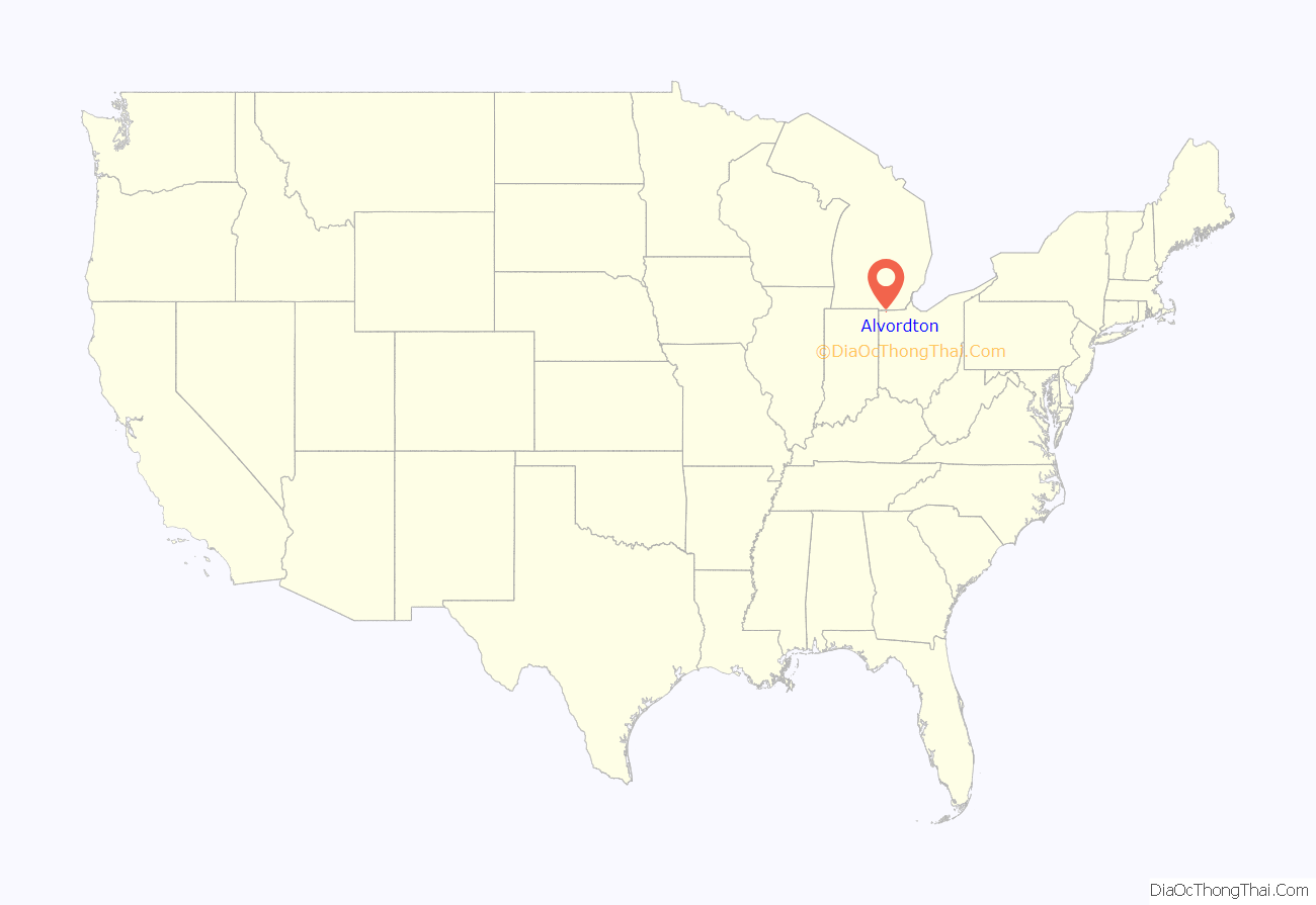
Alvordton location map. Where is Alvordton CDP?
History
Alvordton had its start when the railroad was extended to that point. Alvordton was platted in 1881 by Henry D. Alvord, and named for him. A post office has been in operation at Alvordton since 1881. The community incorporated as a village in 1891. Municipal status continued until 2007, when voters overwhelmingly approved a measure to disincorporate.
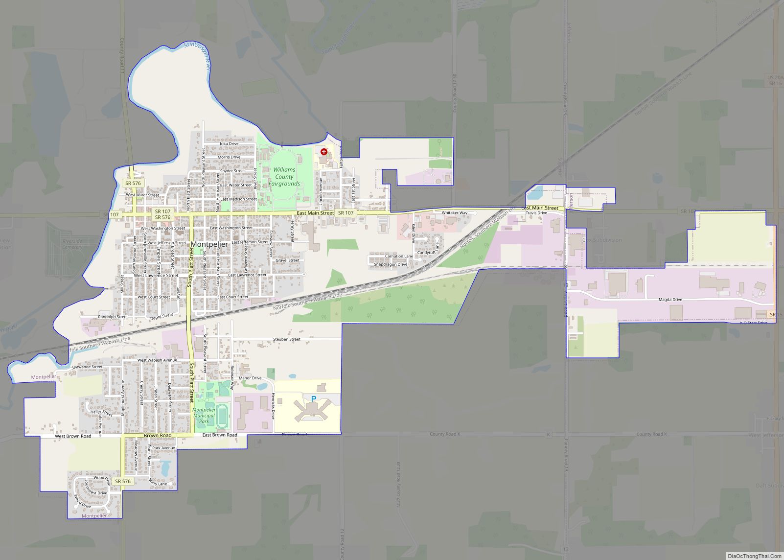
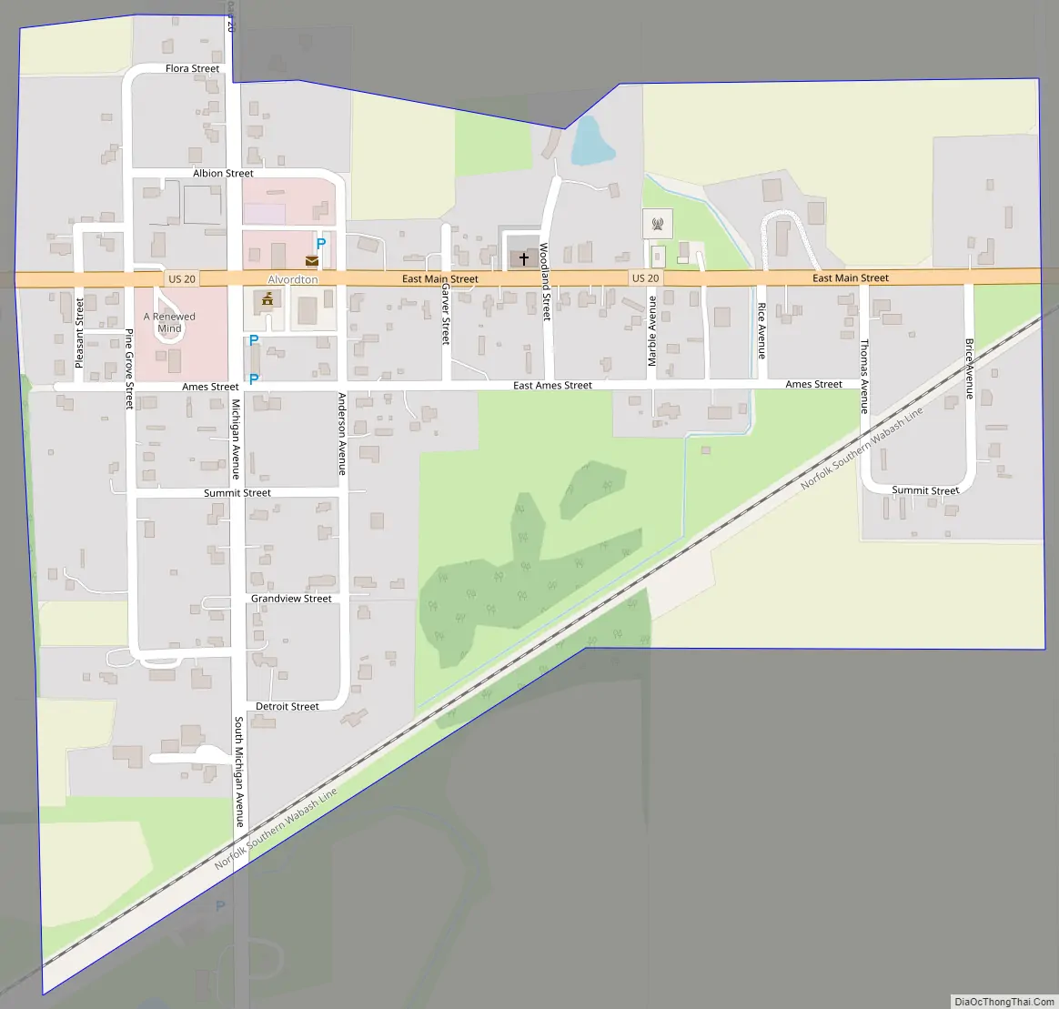
Alvordton Road Map
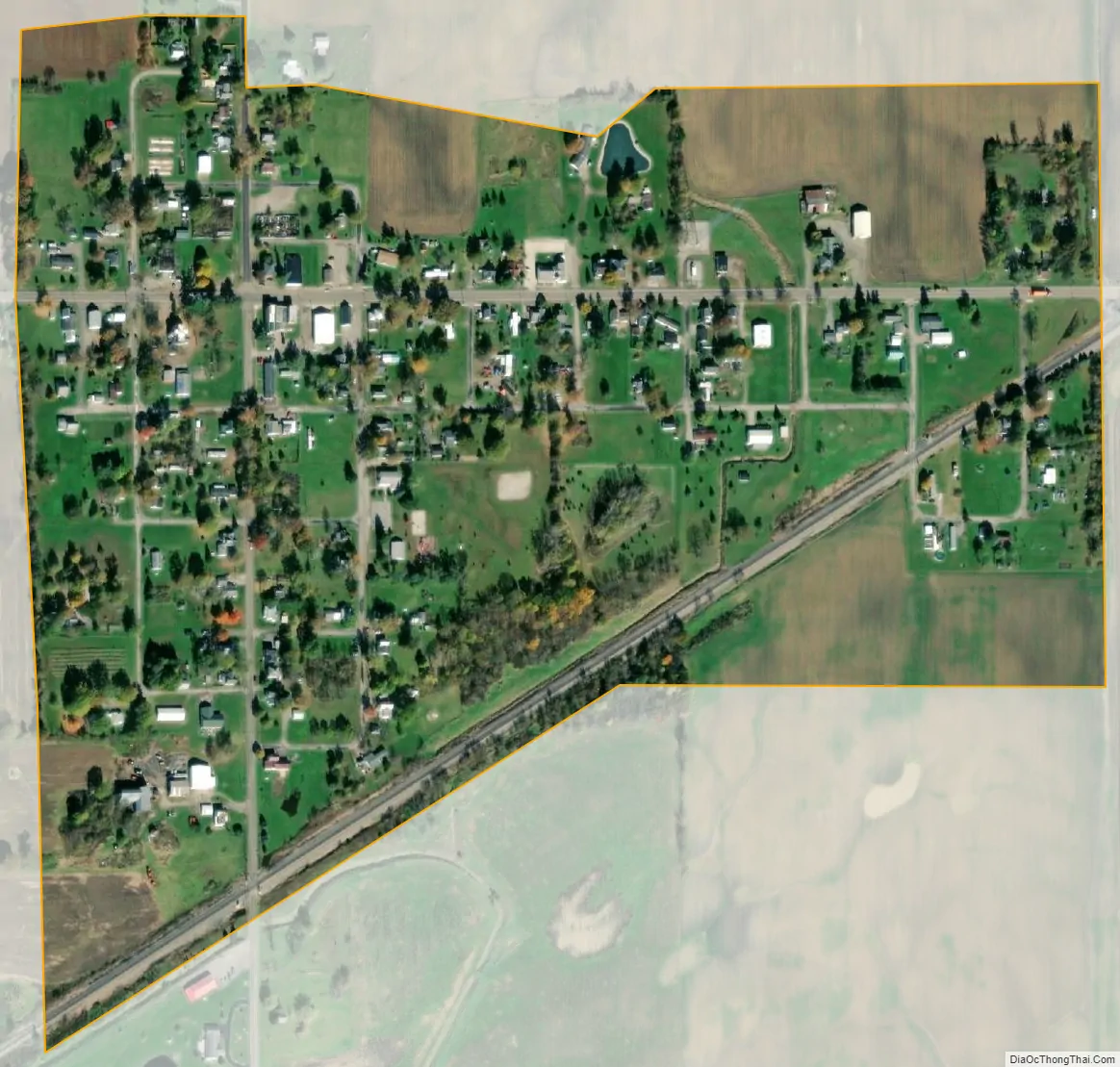
Alvordton city Satellite Map
Geography
Alvordton is located at 41°39′55″N 84°26′7″W / 41.66528°N 84.43528°W / 41.66528; -84.43528 (41.665177, -84.435265).
According to the 2010 census, the CDP has a total area of 0.25 square miles (0.65 km), all land.
See also
Map of Ohio State and its subdivision:- Adams
- Allen
- Ashland
- Ashtabula
- Athens
- Auglaize
- Belmont
- Brown
- Butler
- Carroll
- Champaign
- Clark
- Clermont
- Clinton
- Columbiana
- Coshocton
- Crawford
- Cuyahoga
- Darke
- Defiance
- Delaware
- Erie
- Fairfield
- Fayette
- Franklin
- Fulton
- Gallia
- Geauga
- Greene
- Guernsey
- Hamilton
- Hancock
- Hardin
- Harrison
- Henry
- Highland
- Hocking
- Holmes
- Huron
- Jackson
- Jefferson
- Knox
- Lake
- Lake Erie
- Lawrence
- Licking
- Logan
- Lorain
- Lucas
- Madison
- Mahoning
- Marion
- Medina
- Meigs
- Mercer
- Miami
- Monroe
- Montgomery
- Morgan
- Morrow
- Muskingum
- Noble
- Ottawa
- Paulding
- Perry
- Pickaway
- Pike
- Portage
- Preble
- Putnam
- Richland
- Ross
- Sandusky
- Scioto
- Seneca
- Shelby
- Stark
- Summit
- Trumbull
- Tuscarawas
- Union
- Van Wert
- Vinton
- Warren
- Washington
- Wayne
- Williams
- Wood
- Wyandot
- Alabama
- Alaska
- Arizona
- Arkansas
- California
- Colorado
- Connecticut
- Delaware
- District of Columbia
- Florida
- Georgia
- Hawaii
- Idaho
- Illinois
- Indiana
- Iowa
- Kansas
- Kentucky
- Louisiana
- Maine
- Maryland
- Massachusetts
- Michigan
- Minnesota
- Mississippi
- Missouri
- Montana
- Nebraska
- Nevada
- New Hampshire
- New Jersey
- New Mexico
- New York
- North Carolina
- North Dakota
- Ohio
- Oklahoma
- Oregon
- Pennsylvania
- Rhode Island
- South Carolina
- South Dakota
- Tennessee
- Texas
- Utah
- Vermont
- Virginia
- Washington
- West Virginia
- Wisconsin
- Wyoming