Amelia is an unincorporated community and former village in Pierce and Batavia townships in Clermont County, Ohio, United States. The population was 12,575 at the 2020 census. Amelia incorporated in 1900. In November 2019, residents voted to dissolve the village over the imposition of a local income tax. Amelia was by far the most populous village in state history to be dissolved and the first to be partitioned between two townships.
| Name: | Amelia village |
|---|---|
| LSAD Code: | 47 |
| LSAD Description: | village (suffix) |
| State: | Ohio |
| County: | Clermont County |
| Incorporated: | December 20, 1900 |
| Elevation: | 876 ft (267 m) |
| Total Area: | 5.55 sq mi (14.38 km²) |
| Land Area: | 5.54 sq mi (14.33 km²) |
| Water Area: | 0.02 sq mi (0.05 km²) |
| Total Population: | 12,575 |
| Population Density: | 2,271.91/sq mi (877.26/km²) |
| ZIP code: | 45102 |
| Area code: | 513 |
| FIPS code: | 3901742 |
| GNISfeature ID: | 1064319 |
| Website: | www.ameliavillage.com |
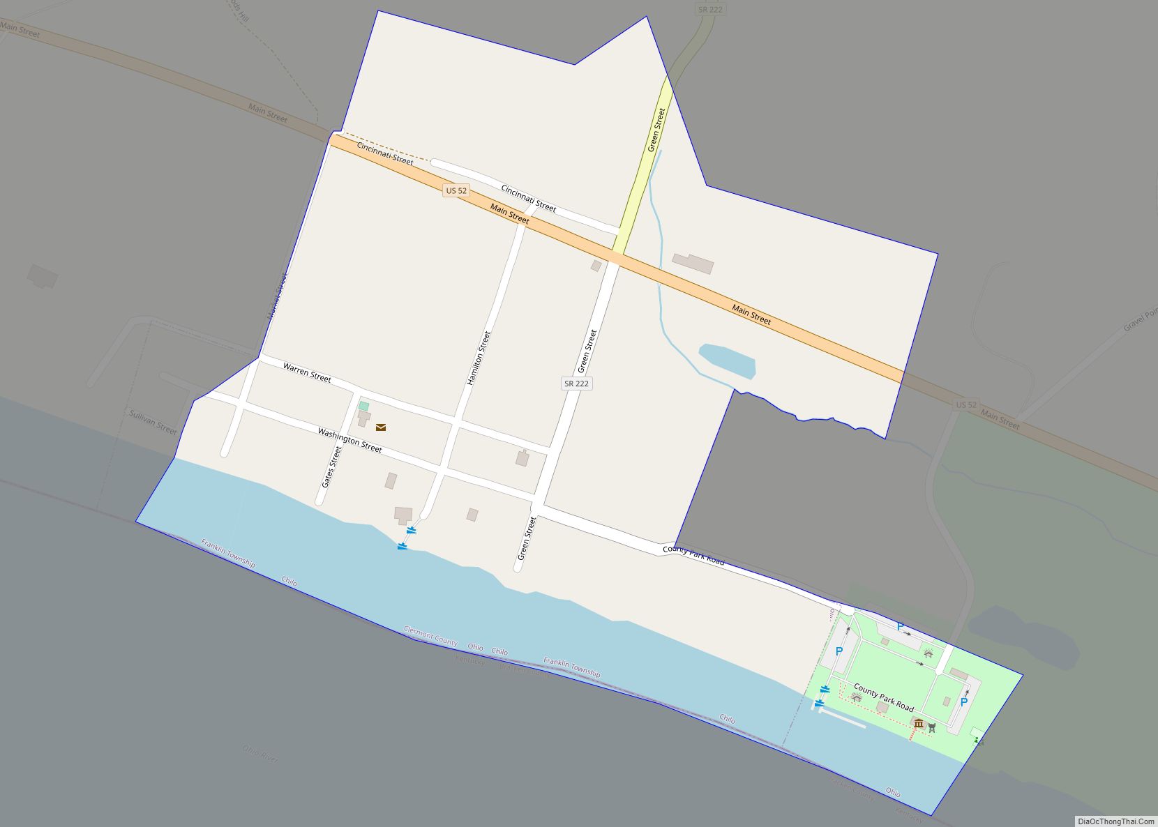
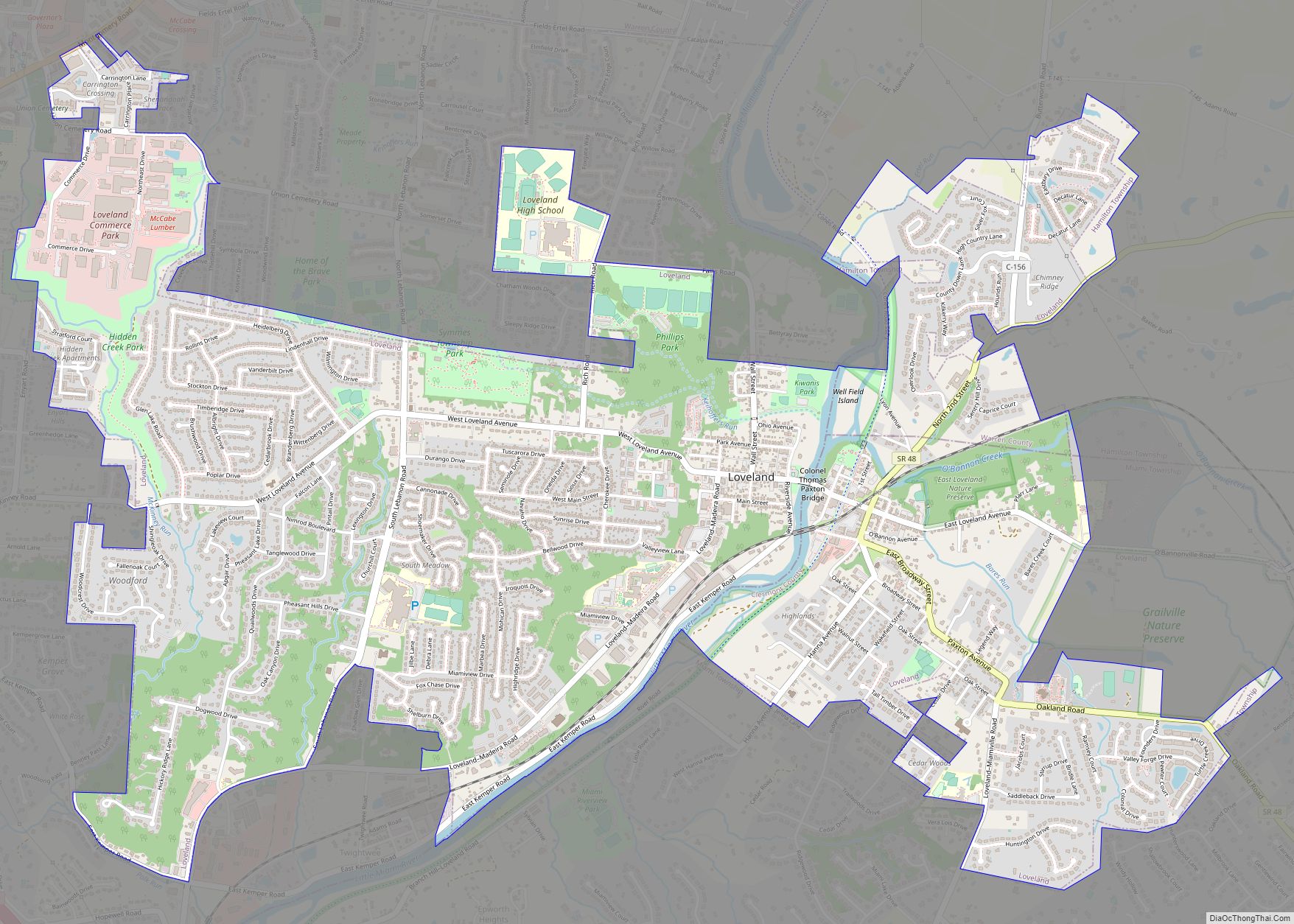
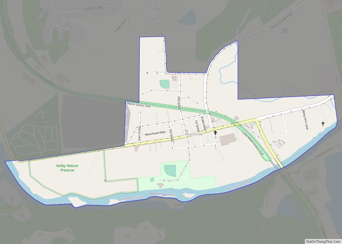
Online Interactive Map
Click on ![]() to view map in "full screen" mode.
to view map in "full screen" mode.
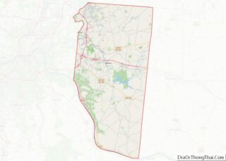
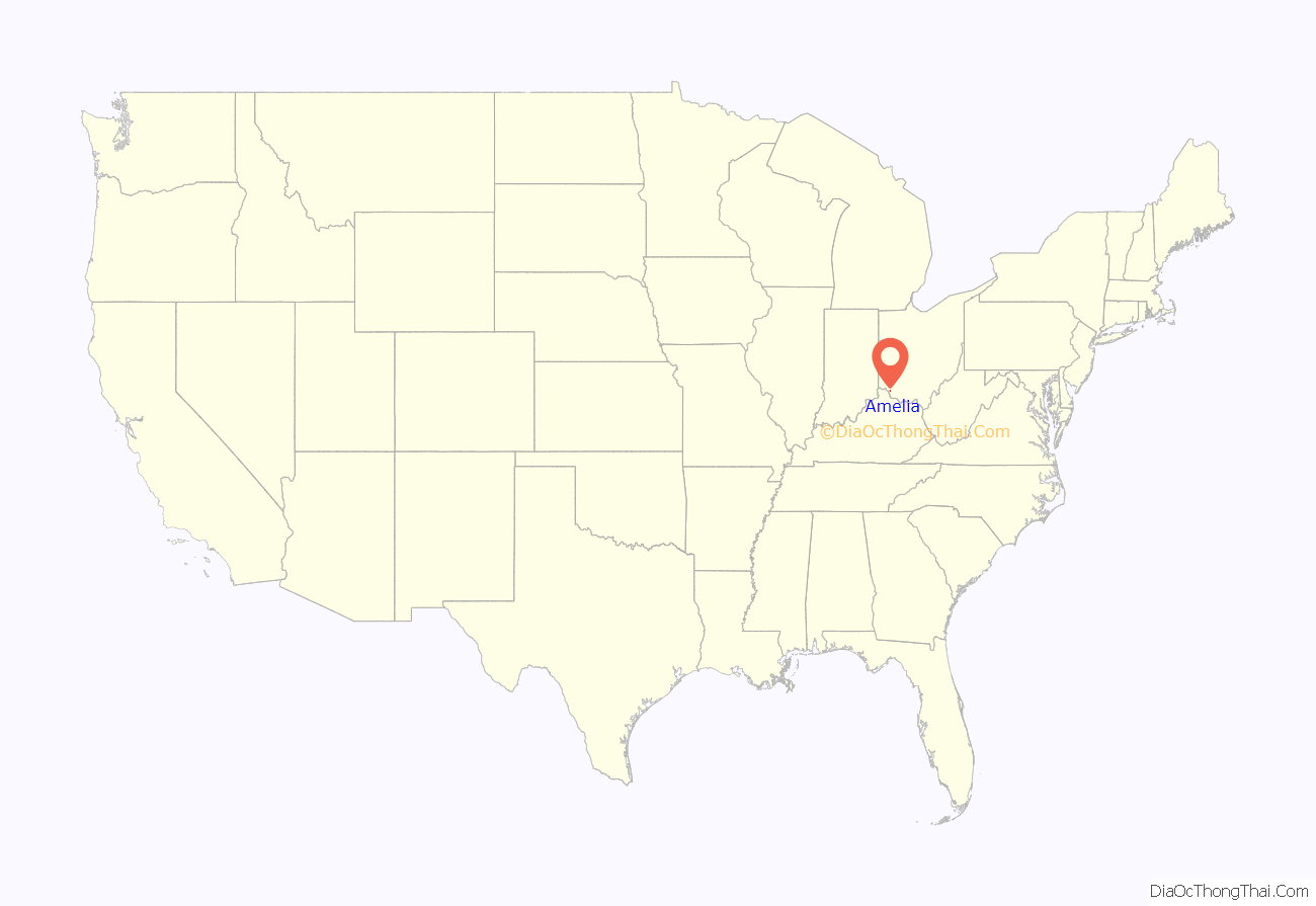
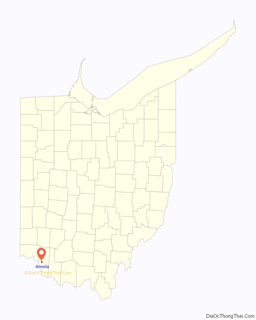
Amelia location map. Where is Amelia village?
History
Amelia was not officially platted. The area was originally called Milltown, later shortened to Milton. However, when a post office was established in 1836, there was already a Milton Post Office in the state. Various accounts state that the post office was named Amelia after Amelia Bowdoin, a well known and popular tollkeeper on the Ohio Turnpike (present-day State Route 125). Her home is now known as the Amelia Bowdoin House and stands at 94 West Main Street, across the street from its original location. However, there is no census record of an Amelia Bowdoin; Amelia may have been a corruption of the name of Armilla Bodin, the wife of a tollkeeper. Amelia was incorporated as a village on December 20, 1900.
Amelia’s population rose from 4,801 in the 2010 census to an estimated 5,009 in 2018. Under state law, the village would have been required to become a city after it posted a population over 5,000 in the 2020 census. In preparation for becoming a city, it adopted a charter in November 2017, though the change in status was not reflected in the Ohio Secretary of State’s roster of municipalities. Among other changes, becoming a city would have protected Amelia from dissolution.
Dissolution
In 2008, Amelia Village Council proposed a one-percent income tax to cover maintenance of Ohio State Route 125 within the village. In response to the proposal, Amelia Residents for Fiscal Responsibility gathered a petition to dissolve the village into Pierce and Batavia townships. The Clermont County Board of Elections initially rejected the petition after invalidating many of the signatures, but the group succeeded in adding the initiative to a May 5, 2009, special election. Amelia survived the election by a margin of 865 to 401.
On February 5, 2018, the council unanimously adopted the proposed one-percent income tax in an emergency ordinance, without the usual three readings, to meet a deadline imposed by the Regional Income Tax Authority. The tax went into effect on July 1, 2018, making Amelia the last village in Clermont County to impose an income tax after cuts to the state’s local government fund and one of more than 600 cities and villages in Ohio that tax income. Former councilmember Renee Gerber subsequently led a petition drive for dissolution. A June 29 council meeting became heated over the tax and dissolution campaign.
On November 5, 2019, residents voted to dissolve the village by a margin of 843 to 479. Amelia was split between Pierce and Batavia townships along State Route 125. Newtonsville residents voted for dissolution the same day. Dissolution took effect at 10:00 AM on November 25, 2019, when the election results were certified. Gerber was elected to serve as the village’s final mayor during a yearlong transition period under the oversight of the Ohio State Auditor, but upon the auditor’s advice, Hart was retained to carry out the village’s remaining administrative responsibilities. Amelia residents will continue to pay the one-percent income tax until at least $3 million in debt is paid off. Amelia was by far the most populous village in state history to be dissolved and the first to be partitioned between two townships.
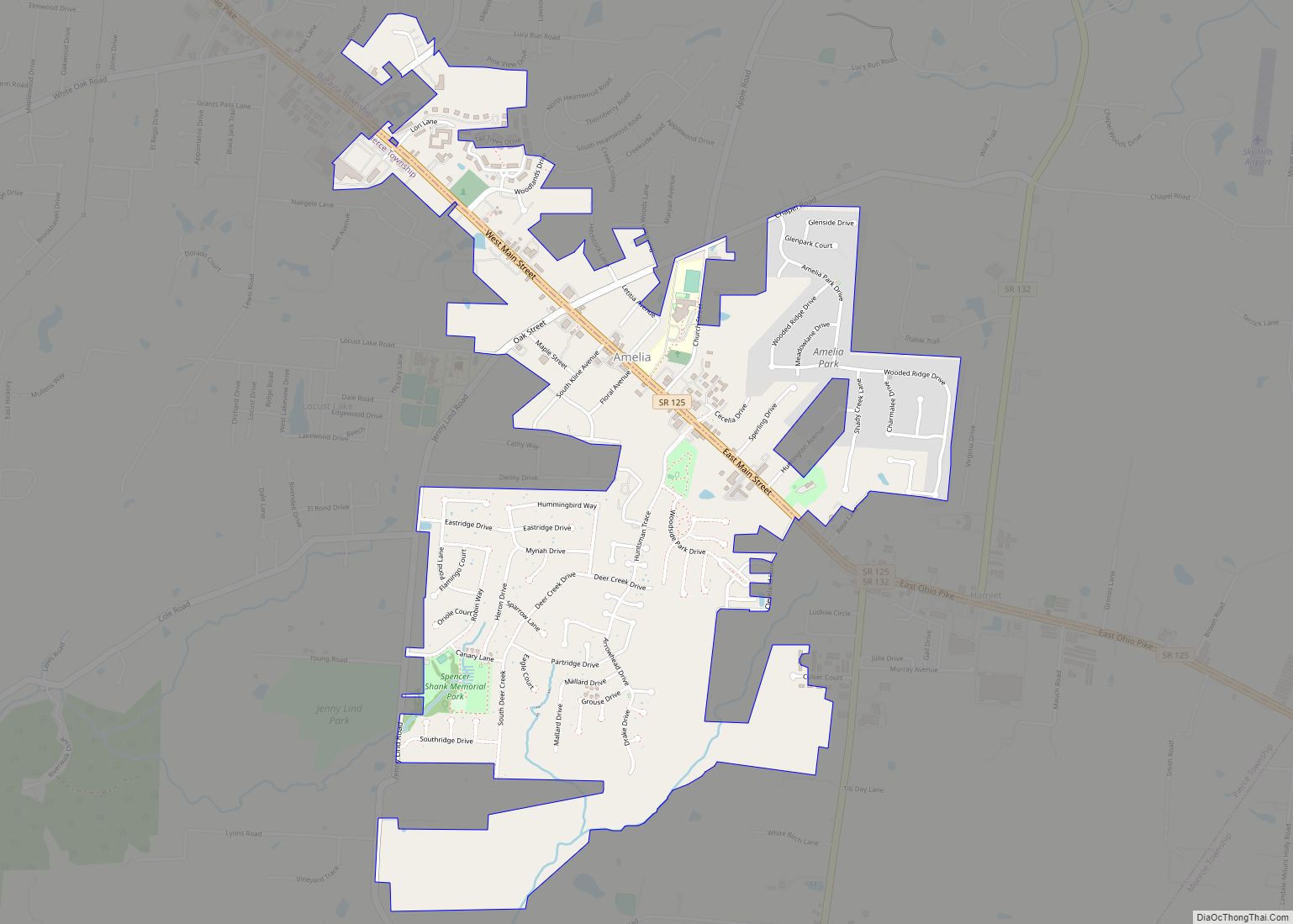
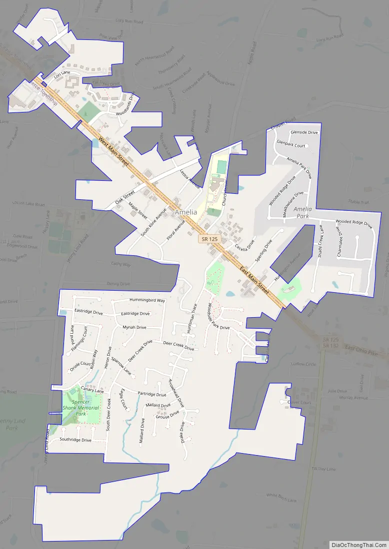
Amelia Road Map
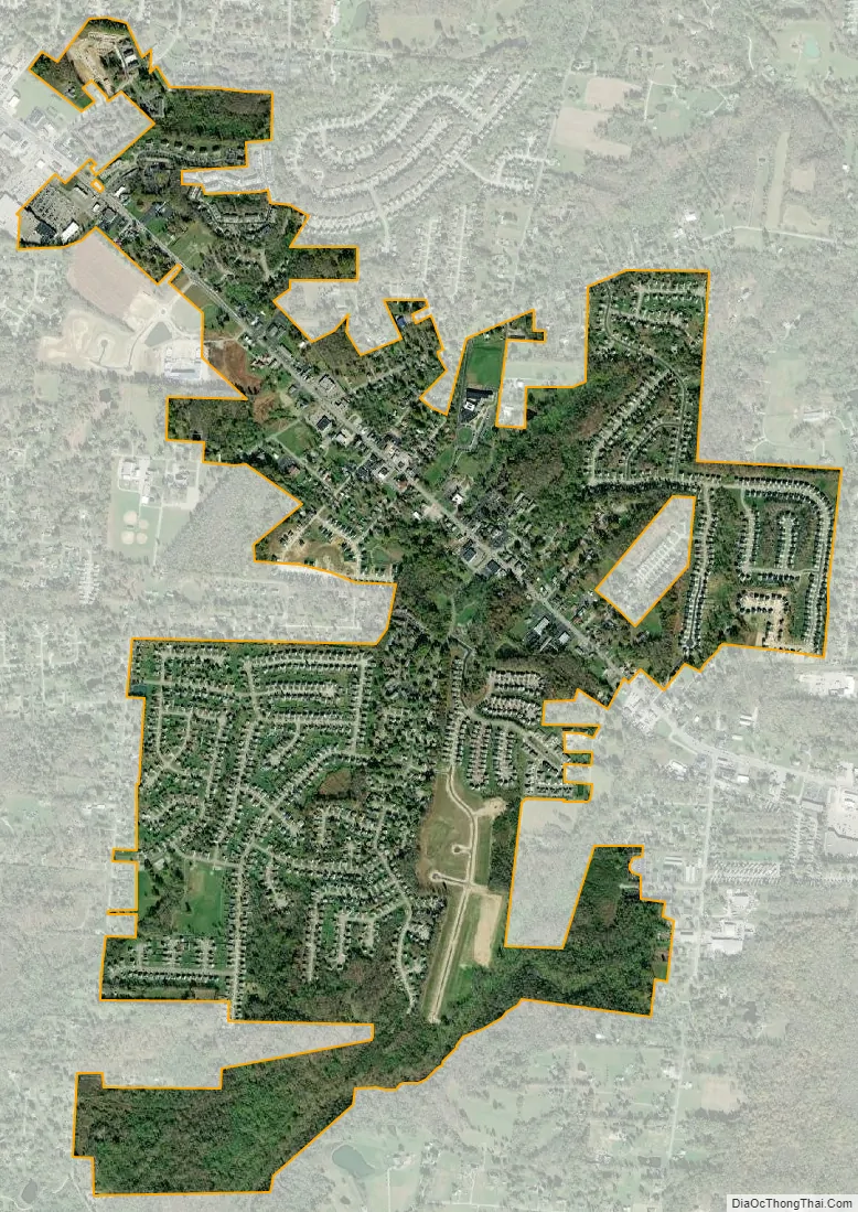
Amelia city Satellite Map
Geography
Amelia is located at 39°1′45″N 84°13′16″W / 39.02917°N 84.22111°W / 39.02917; -84.22111 (39.029123, -84.221111).
According to the United States Census Bureau, the village had a total area of 1.79 square miles (4.64 km), all land.
See also
Map of Ohio State and its subdivision:- Adams
- Allen
- Ashland
- Ashtabula
- Athens
- Auglaize
- Belmont
- Brown
- Butler
- Carroll
- Champaign
- Clark
- Clermont
- Clinton
- Columbiana
- Coshocton
- Crawford
- Cuyahoga
- Darke
- Defiance
- Delaware
- Erie
- Fairfield
- Fayette
- Franklin
- Fulton
- Gallia
- Geauga
- Greene
- Guernsey
- Hamilton
- Hancock
- Hardin
- Harrison
- Henry
- Highland
- Hocking
- Holmes
- Huron
- Jackson
- Jefferson
- Knox
- Lake
- Lake Erie
- Lawrence
- Licking
- Logan
- Lorain
- Lucas
- Madison
- Mahoning
- Marion
- Medina
- Meigs
- Mercer
- Miami
- Monroe
- Montgomery
- Morgan
- Morrow
- Muskingum
- Noble
- Ottawa
- Paulding
- Perry
- Pickaway
- Pike
- Portage
- Preble
- Putnam
- Richland
- Ross
- Sandusky
- Scioto
- Seneca
- Shelby
- Stark
- Summit
- Trumbull
- Tuscarawas
- Union
- Van Wert
- Vinton
- Warren
- Washington
- Wayne
- Williams
- Wood
- Wyandot
- Alabama
- Alaska
- Arizona
- Arkansas
- California
- Colorado
- Connecticut
- Delaware
- District of Columbia
- Florida
- Georgia
- Hawaii
- Idaho
- Illinois
- Indiana
- Iowa
- Kansas
- Kentucky
- Louisiana
- Maine
- Maryland
- Massachusetts
- Michigan
- Minnesota
- Mississippi
- Missouri
- Montana
- Nebraska
- Nevada
- New Hampshire
- New Jersey
- New Mexico
- New York
- North Carolina
- North Dakota
- Ohio
- Oklahoma
- Oregon
- Pennsylvania
- Rhode Island
- South Carolina
- South Dakota
- Tennessee
- Texas
- Utah
- Vermont
- Virginia
- Washington
- West Virginia
- Wisconsin
- Wyoming