Amesville /ˈeɪmzvɪl/ is a village in Athens County, Ohio, United States, located on Federal Creek. The population was 171 at the 2020 census.
| Name: | Amesville village |
|---|---|
| LSAD Code: | 47 |
| LSAD Description: | village (suffix) |
| State: | Ohio |
| County: | Athens County |
| Elevation: | 633 ft (193 m) |
| Total Area: | 0.23 sq mi (0.60 km²) |
| Land Area: | 0.23 sq mi (0.59 km²) |
| Water Area: | 0.00 sq mi (0.01 km²) |
| Total Population: | 171 |
| Population Density: | 753.30/sq mi (290.49/km²) |
| ZIP code: | 45711, 45777 |
| Area code: | 740 |
| FIPS code: | 3901784 |
| GNISfeature ID: | 1075260 |
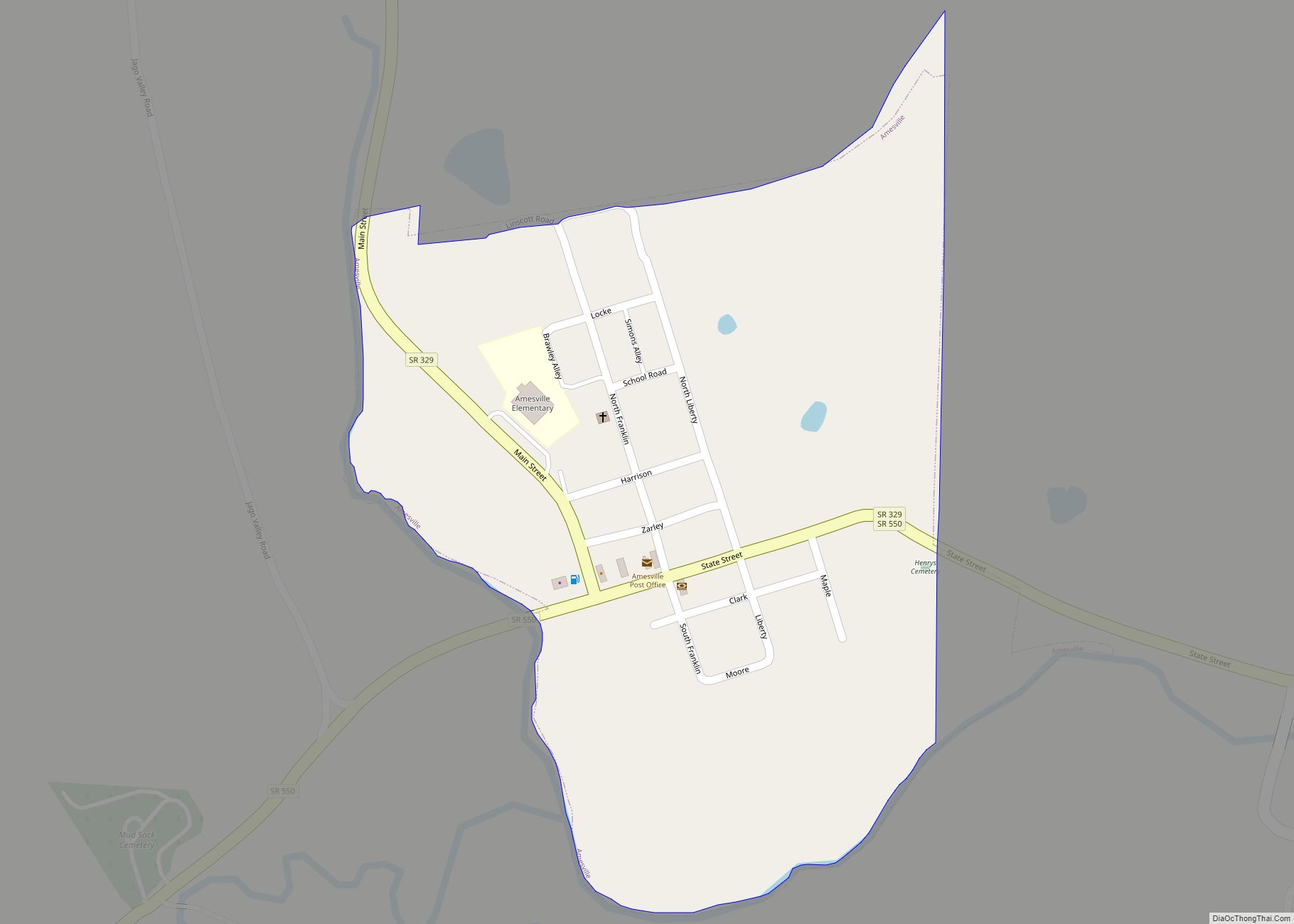
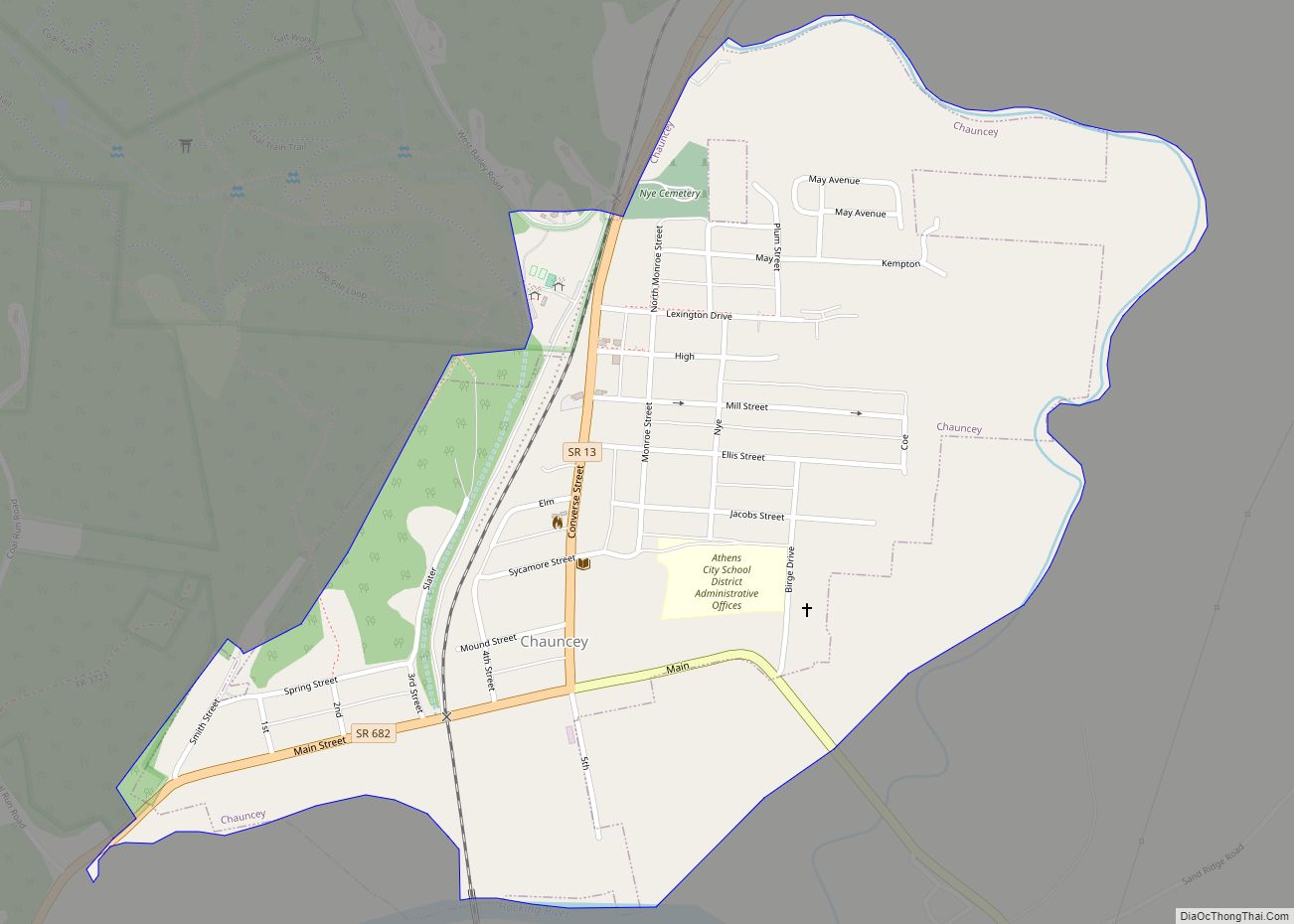
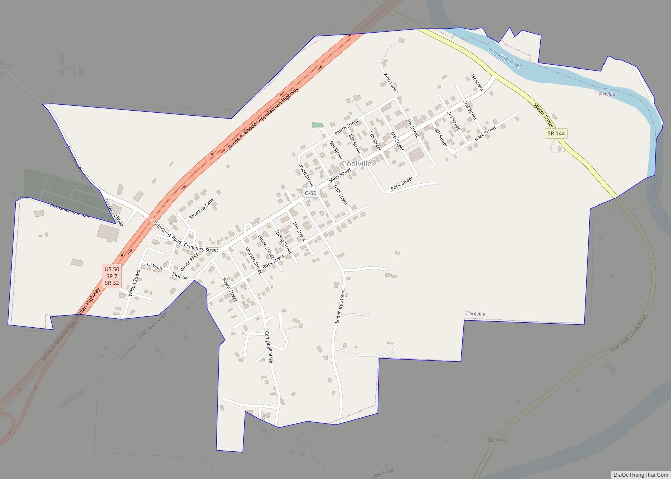
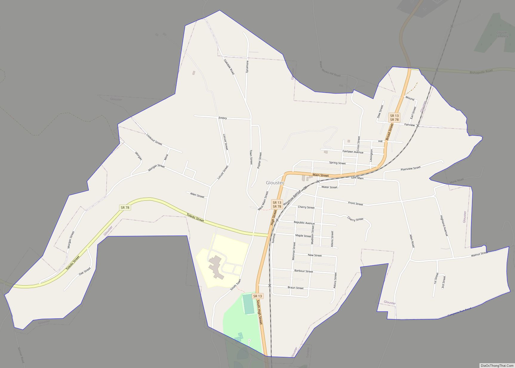
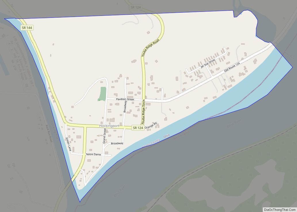
Online Interactive Map
Click on ![]() to view map in "full screen" mode.
to view map in "full screen" mode.
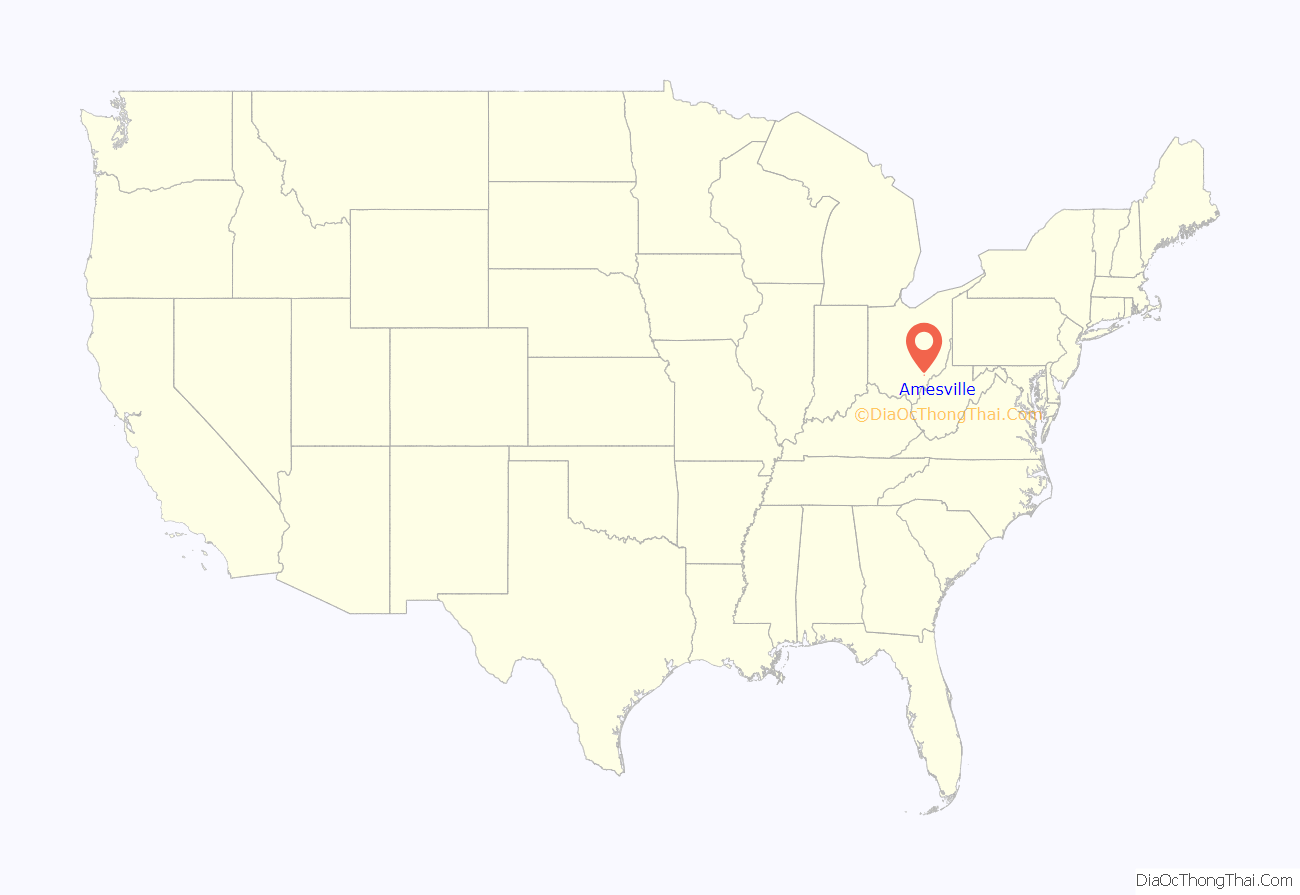
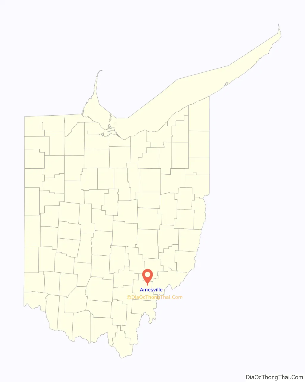
Amesville location map. Where is Amesville village?
History
Amesville was laid out in 1837. The village derives its name from Fisher Ames who was instrumental in gaining federal support for the Ohio Company of Associates which managed much of the settlement in the area.
Amesville is perhaps best known for the Coonskin Library. At an 1803 town meeting—held to discuss roads—settlers talked about their desire for books and their lack of money to pay for them. Most of the business was done by barter, so little money was in circulation. However, the surrounding forest had pelts that could be sold in the East to buy books. In the spring of 1804, Samuel B. Brown was given the pelts and, accompanied by Ephraim Cutler, went east to bring back books for the town. Fifty-one books—mostly on religion, travel, biography and history—were purchased for $73.50. These books were passed from home to home until Ephraim Cutler was elected librarian in 1804. The original books can be found at the Ohio Historical Society, as well as Ohio University’s Alden Library. A commemorative marker, placed by the Nabby Lee Ames D.A.R. Chapter of Athens in 1925, is located near the Community Bank on State Street. The Coonskin Library Museum opened in May 1994 in the former cafeteria of the Amesville Grade School.
A post office called Amesville was established 1820.
Mayor Alonzo Weed
Another unique feature of Amesville history was the election of Alonzo Weed as mayor in 1903. Research by Tyler Buchanon, of the Athens Messenger, tells the story of a wandering hobo that became mayor of the village. Alonzo Weed was likely born somewhere on the west coast around 1850. Amesville residents found Weed a strange, but friendly figure. It’s hard to say for sure what first prompted his name to get placed on the ballot. In many versions, he was nominated by a few friends on Election Day as a joke.
One way or another, Weed’s name was indeed placed on the mayoral ballot of April 1903. The election the election ended in a tie. Weed and Gibson both received exactly 21 votes. Weed was sworn in as the new mayor of Amesville after a tie-breaker. He proved to be unqualified for the job. He was an alcoholic in a dry town, a drifter with little appreciation or experience with municipal government.
Eventually, Alonzo left town, but not after becoming the center of news stories all across the country.
June 1998 Flood
On June 28, 1998, a storm front stalled over Federal Creek and dropped over 10 inches of rain. Quickly, Federal Creek rose beyond its banks and crossed State Street and Main Street. It reached a depth of 15 feet at the restaurant on the corner of those two roads. When the water receded it had devastated most of the businesses and houses on the south side of the village. The majority of these buildings were demolished (through FEMA grants) and the resulting open land became Gifford Park.
21st century
In 2007 Amesville became the first village in Ohio to pioneer a new, aerobic wastewater treatment system. As taken from the Athens News,
“On Tuesday, the Athens County village of Amesville unveiled an approach to sewage treatment that state and federal officials say could be a harbinger of things to come for small, rural communities. The village has received the first state permit ever for what is called a “clustered” waste-water treatment facility.
Rather than having a single, centralized treatment plant, the system will feature three separate discharge points placed at strategic locations around the village. The points have been sited to take maximum advantage of gravity for moving waste water, and thus reduce the need for pumping.
The waste water will be treated in large, partially underground bins containing micro-organisms embedded in fabric sheets.
TAM Construction of Lancaster began work on the project the week of July 23. On Tuesday, the village held a ceremony to introduce the project at Amesville Elementary School – site of one of the three treatment fields.
Mayor Frank Hare said the village has been grappling with the waste-water issue since at least 1959, when a village ordinance was passed addressing the question, following the contamination of some wells by sewage.”
Current mayor, Gary Goosman (first elected in 2012) has carried on the Amesville tradition of innovation and collaboration. As reported in the Athens Messenger in December of 2021,
“A nearly $1 million project promises to bring reliable, high speed internet to Amesville, which currently experiences among the slowest internet speeds in the county.
“We have a fairly low cost of living in our area and beautiful countryside, so I think instead of young people moving away, I could see more people deciding to live here and start businesses,” said Amesville Mayor Gary Goosman. “I think young people will do a lot of innovative things because they have access to high-quality broadband.”
The Appalachian Regional Commission awarded a $750,000 grant to the Athens County Commissioners for the project, with the county providing $216,320 in local funds according to a press release from U.S. Senator Sherrod Brown’s office. Athens County Commissioner Chris Chmiel said local funds will be provided through the county’s American Recovery Plan Act dollars.”
Amesville Road Map
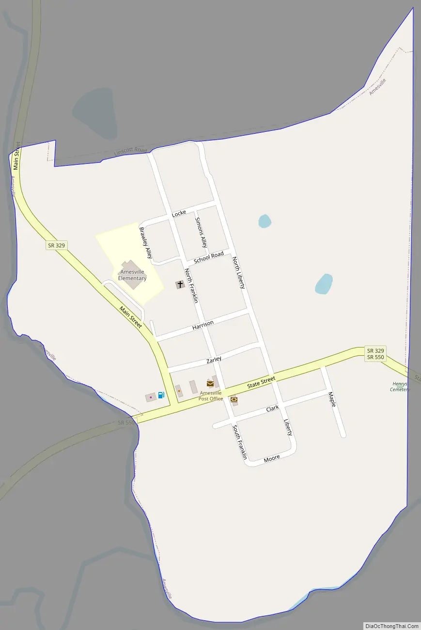
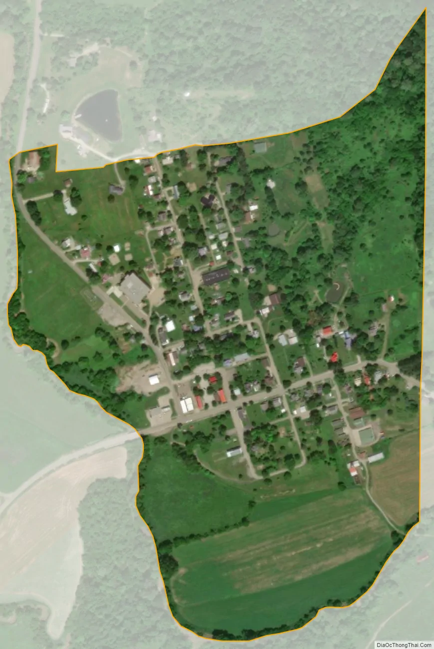
Amesville city Satellite Map
Geography
Amesville is located at 39°24′5″N 81°57′18″W / 39.40139°N 81.95500°W / 39.40139; -81.95500 (39.401497, -81.955134).
Amesville is situated in the foothills of the Appalachian Mountains, approximately 45 miles south by southeast of the terminal moraine, a topographical feature often associated with the boundaries of glaciers, and is surrounded by wooded hills, narrow valleys, and numerous creeks flanked by lowland pastures and farmland.
These features are largely indicative of the areas in the State of Ohio that fall to the south of the terminal moraine. The terminal moraine in the State of Ohio, and to the north of Amesville, effectively serves to bisect the state along a line running on a west to east axis across the south by southeastern third of Ohio thereby contributing to certain distinctive topographical, socio-economic, and cultural attributes on either side of this feature.
According to the United States Census Bureau, the village has a total area of 0.22 square miles (0.57 km), all land.
See also
Map of Ohio State and its subdivision:- Adams
- Allen
- Ashland
- Ashtabula
- Athens
- Auglaize
- Belmont
- Brown
- Butler
- Carroll
- Champaign
- Clark
- Clermont
- Clinton
- Columbiana
- Coshocton
- Crawford
- Cuyahoga
- Darke
- Defiance
- Delaware
- Erie
- Fairfield
- Fayette
- Franklin
- Fulton
- Gallia
- Geauga
- Greene
- Guernsey
- Hamilton
- Hancock
- Hardin
- Harrison
- Henry
- Highland
- Hocking
- Holmes
- Huron
- Jackson
- Jefferson
- Knox
- Lake
- Lake Erie
- Lawrence
- Licking
- Logan
- Lorain
- Lucas
- Madison
- Mahoning
- Marion
- Medina
- Meigs
- Mercer
- Miami
- Monroe
- Montgomery
- Morgan
- Morrow
- Muskingum
- Noble
- Ottawa
- Paulding
- Perry
- Pickaway
- Pike
- Portage
- Preble
- Putnam
- Richland
- Ross
- Sandusky
- Scioto
- Seneca
- Shelby
- Stark
- Summit
- Trumbull
- Tuscarawas
- Union
- Van Wert
- Vinton
- Warren
- Washington
- Wayne
- Williams
- Wood
- Wyandot
- Alabama
- Alaska
- Arizona
- Arkansas
- California
- Colorado
- Connecticut
- Delaware
- District of Columbia
- Florida
- Georgia
- Hawaii
- Idaho
- Illinois
- Indiana
- Iowa
- Kansas
- Kentucky
- Louisiana
- Maine
- Maryland
- Massachusetts
- Michigan
- Minnesota
- Mississippi
- Missouri
- Montana
- Nebraska
- Nevada
- New Hampshire
- New Jersey
- New Mexico
- New York
- North Carolina
- North Dakota
- Ohio
- Oklahoma
- Oregon
- Pennsylvania
- Rhode Island
- South Carolina
- South Dakota
- Tennessee
- Texas
- Utah
- Vermont
- Virginia
- Washington
- West Virginia
- Wisconsin
- Wyoming