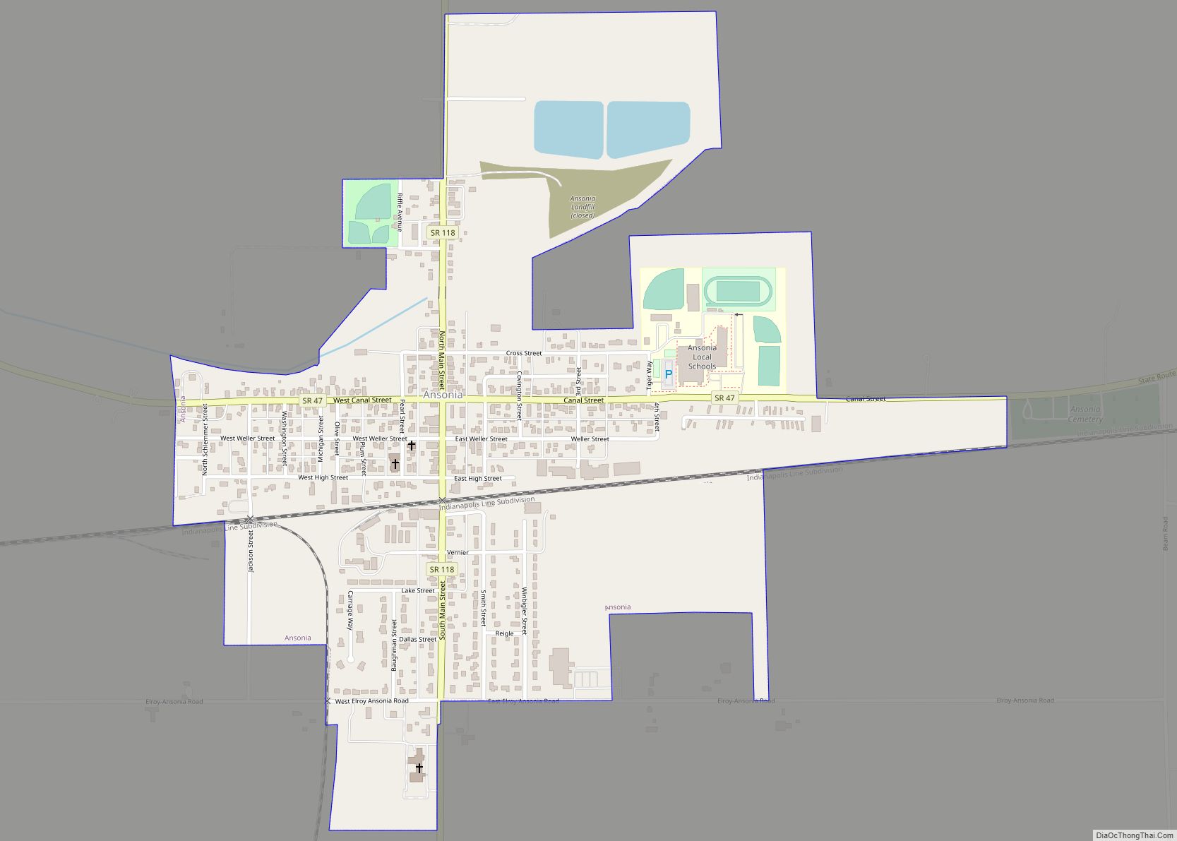
Ansonia is a village in Darke County, Ohio, United States. The population was 1,174 at the 2010 census.
| Name: | Ansonia village |
|---|---|
| LSAD Code: | 47 |
| LSAD Description: | village (suffix) |
| State: | Ohio |
| County: | Darke County |
| Elevation: | 997 ft (304 m) |
| Total Area: | 0.67 sq mi (1.73 km²) |
| Land Area: | 0.65 sq mi (1.68 km²) |
| Water Area: | 0.02 sq mi (0.05 km²) |
| Total Population: | 1,160 |
| Population Density: | 1,792.89/sq mi (691.83/km²) |
| ZIP code: | 45303 |
| FIPS code: | 3902120 |
| GNISfeature ID: | 1064333 |
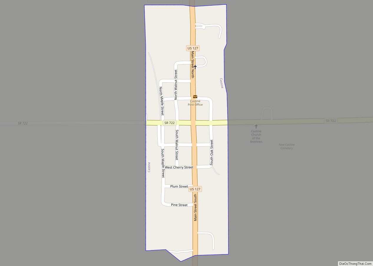
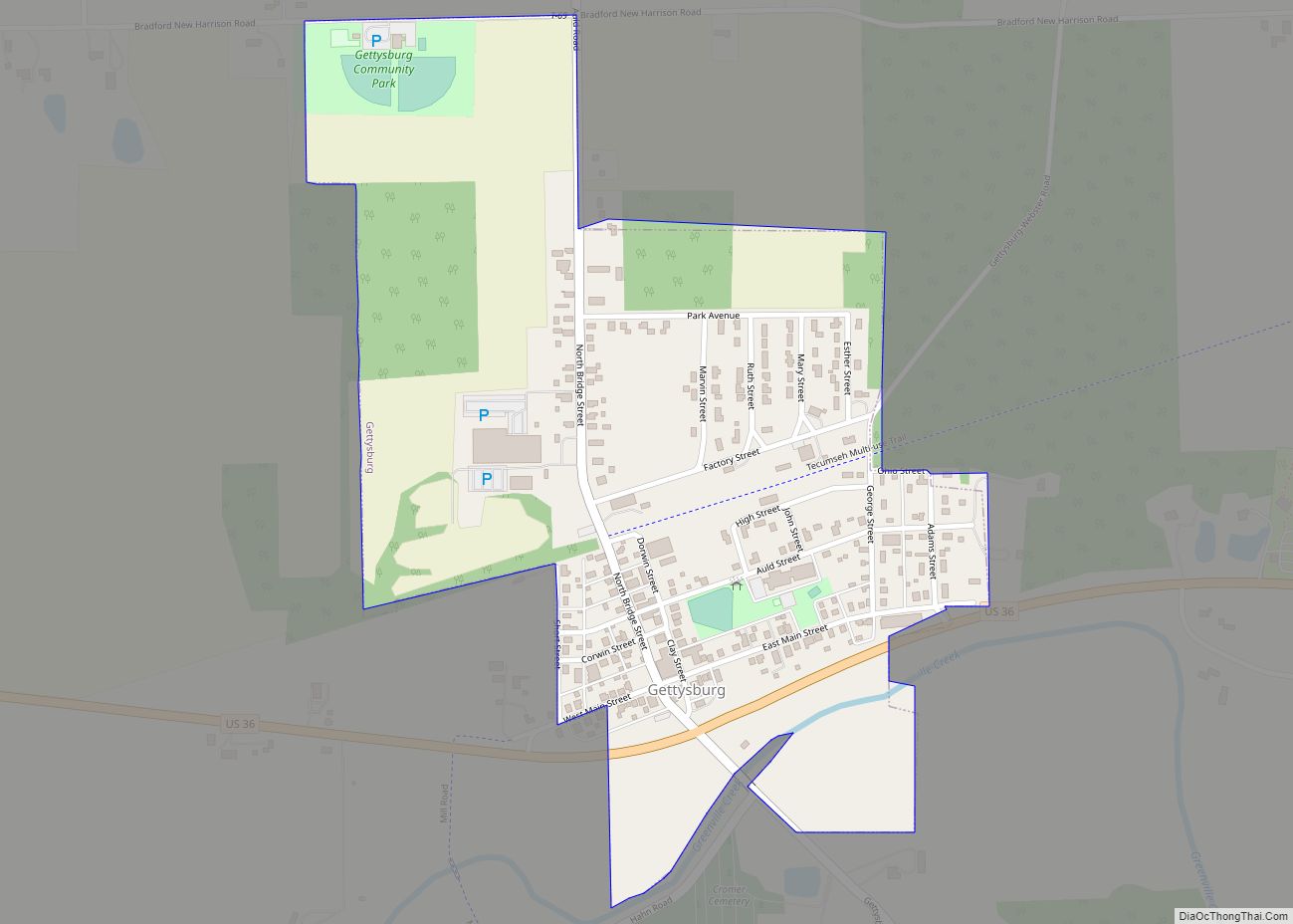
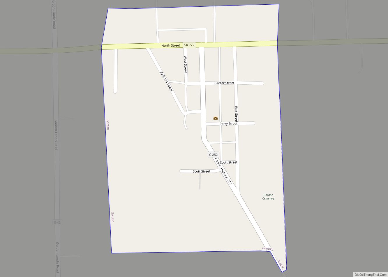
Online Interactive Map
Click on ![]() to view map in "full screen" mode.
to view map in "full screen" mode.
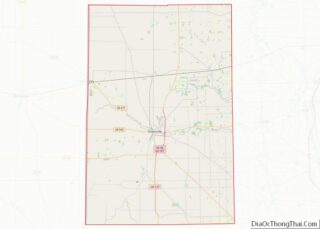
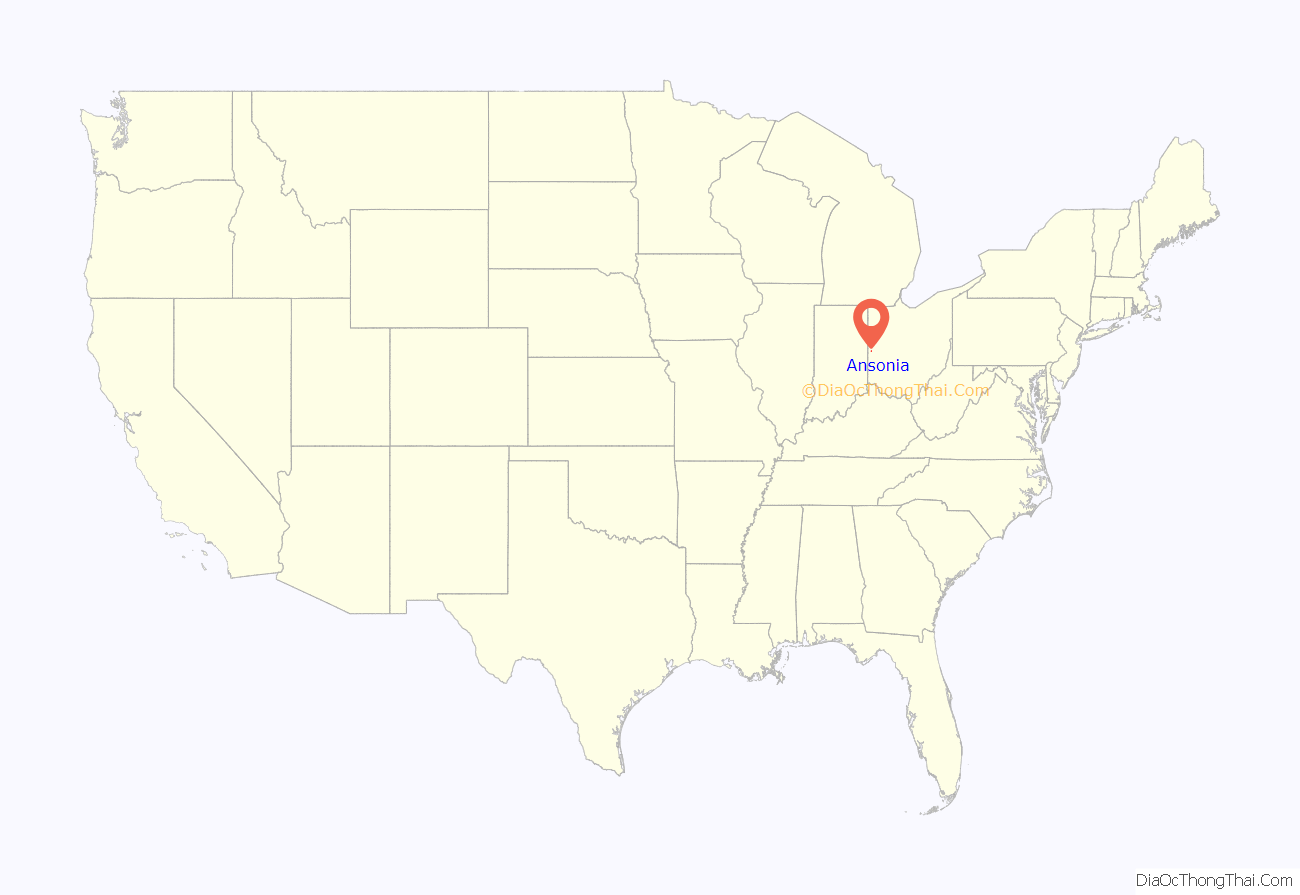
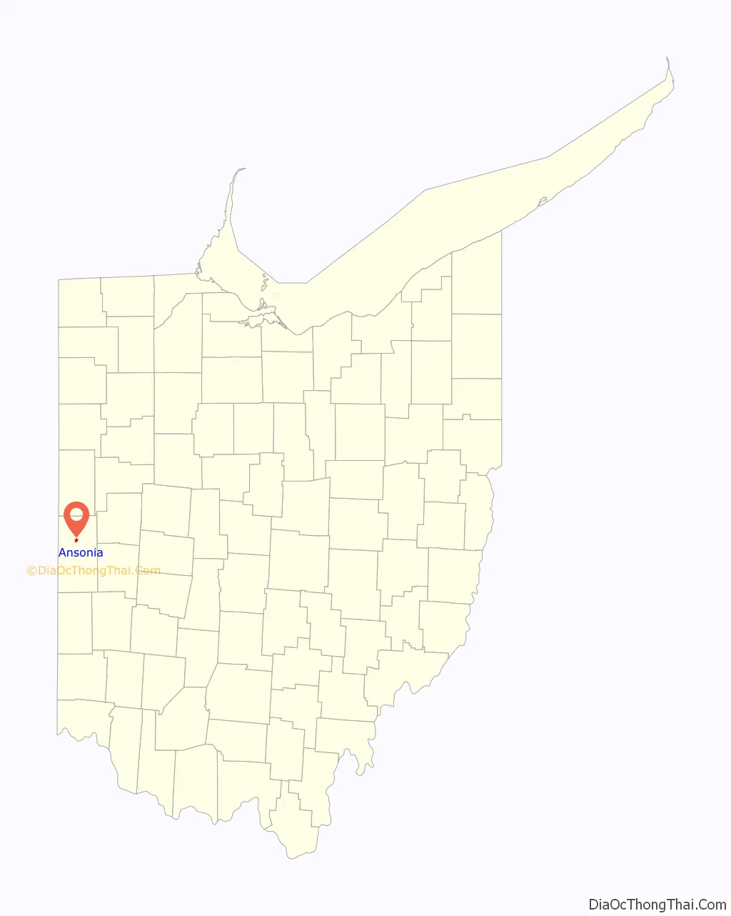
Ansonia location map. Where is Ansonia village?
History
Ansonia was founded in 1845 under the name of “Dallas.” The village initially grew slowly; significant expansion only came after the coming of a railroad in 1852. Because dense swamps hindered settlement in the vicinity, woodland was plentiful, and Ansonia became a center of manufacturing for hardwood products. In 1873, the residents replaced their old school with a substantial two-story building at the cost of ten thousand dollars; this building was the first home of Ansonia High School, which was founded in that year. In turn, this building was demolished and a replacement erected in 1903. Another prominent structure in the village was a mausoleum; built of marble in 1911, it was the first mausoleum in Darke County.
In its early decades, Ansonia was heavily influenced by Freemasonry. The community’s first lodge was chartered on October 21, 1874, with a membership of sixteen; in its first forty years, this lodge expanded nearly eightfold. An IOOF lodge was instituted on June 18, 1875, with sixteen members; it grew nearly sevenfold in its first forty years. Sixteen women in the community founded a chapter of the Daughters of Rebekah in 1894, and a lodge of the Knights of Pythias was also established in the village in 1889.
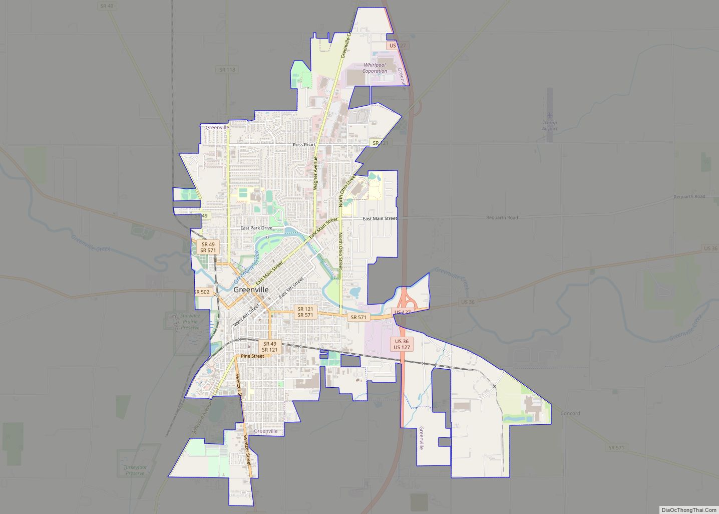
Ansonia Road Map
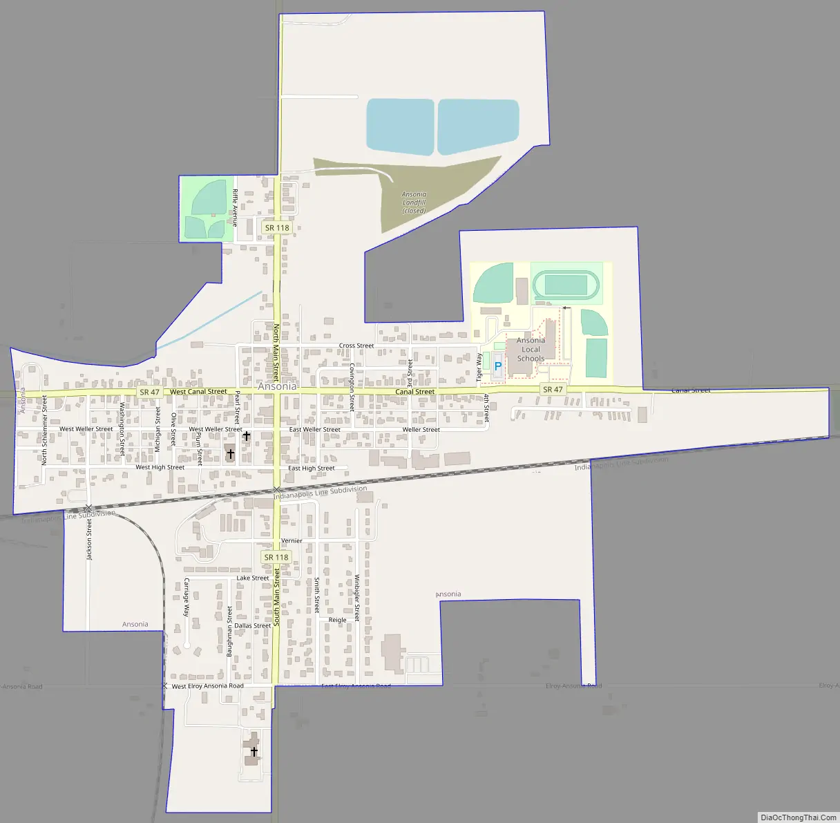
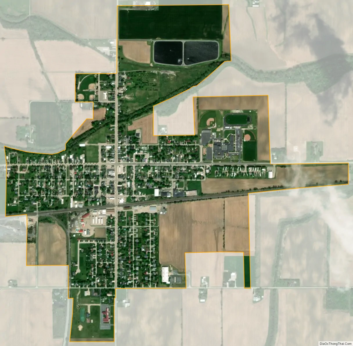
Ansonia city Satellite Map
Geography
Ansonia is located at 40°12′48″N 84°38′17″W / 40.21333°N 84.63806°W / 40.21333; -84.63806 (40.213200, -84.637978).
According to the United States Census Bureau, the village has a total area of 0.81 square miles (2.10 km), of which 0.79 square miles (2.05 km) is land and 0.02 square miles (0.05 km) is water. It is approximately six miles north of the county seat of Greenville.
See also
Map of Ohio State and its subdivision:- Adams
- Allen
- Ashland
- Ashtabula
- Athens
- Auglaize
- Belmont
- Brown
- Butler
- Carroll
- Champaign
- Clark
- Clermont
- Clinton
- Columbiana
- Coshocton
- Crawford
- Cuyahoga
- Darke
- Defiance
- Delaware
- Erie
- Fairfield
- Fayette
- Franklin
- Fulton
- Gallia
- Geauga
- Greene
- Guernsey
- Hamilton
- Hancock
- Hardin
- Harrison
- Henry
- Highland
- Hocking
- Holmes
- Huron
- Jackson
- Jefferson
- Knox
- Lake
- Lake Erie
- Lawrence
- Licking
- Logan
- Lorain
- Lucas
- Madison
- Mahoning
- Marion
- Medina
- Meigs
- Mercer
- Miami
- Monroe
- Montgomery
- Morgan
- Morrow
- Muskingum
- Noble
- Ottawa
- Paulding
- Perry
- Pickaway
- Pike
- Portage
- Preble
- Putnam
- Richland
- Ross
- Sandusky
- Scioto
- Seneca
- Shelby
- Stark
- Summit
- Trumbull
- Tuscarawas
- Union
- Van Wert
- Vinton
- Warren
- Washington
- Wayne
- Williams
- Wood
- Wyandot
- Alabama
- Alaska
- Arizona
- Arkansas
- California
- Colorado
- Connecticut
- Delaware
- District of Columbia
- Florida
- Georgia
- Hawaii
- Idaho
- Illinois
- Indiana
- Iowa
- Kansas
- Kentucky
- Louisiana
- Maine
- Maryland
- Massachusetts
- Michigan
- Minnesota
- Mississippi
- Missouri
- Montana
- Nebraska
- Nevada
- New Hampshire
- New Jersey
- New Mexico
- New York
- North Carolina
- North Dakota
- Ohio
- Oklahoma
- Oregon
- Pennsylvania
- Rhode Island
- South Carolina
- South Dakota
- Tennessee
- Texas
- Utah
- Vermont
- Virginia
- Washington
- West Virginia
- Wisconsin
- Wyoming