Antwerp is a village in Paulding County, Ohio, United States, along the Maumee River. Antwerp is home of the Antwerp Archers. The population was 1,736 at the 2010 census.
Antwerp is the nearest village to the Six Mile Reservoir, the site of the Reservoir War in 1887. Antwerp is the birthplace of Asa Long, the checkers player. The place is named after the Belgian city of Antwerp.
| Name: | Antwerp village |
|---|---|
| LSAD Code: | 47 |
| LSAD Description: | village (suffix) |
| State: | Ohio |
| County: | Paulding County |
| Elevation: | 728 ft (222 m) |
| Total Area: | 1.33 sq mi (3.45 km²) |
| Land Area: | 1.33 sq mi (3.45 km²) |
| Water Area: | 0.00 sq mi (0.00 km²) |
| Total Population: | 1,676 |
| Population Density: | 1,258.26/sq mi (485.76/km²) |
| ZIP code: | 45813 |
| Area code: | 419 |
| FIPS code: | 3902204 |
| GNISfeature ID: | 1037451 |
| Website: | www.antwerpohio.com |
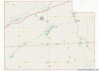
Online Interactive Map
Click on ![]() to view map in "full screen" mode.
to view map in "full screen" mode.
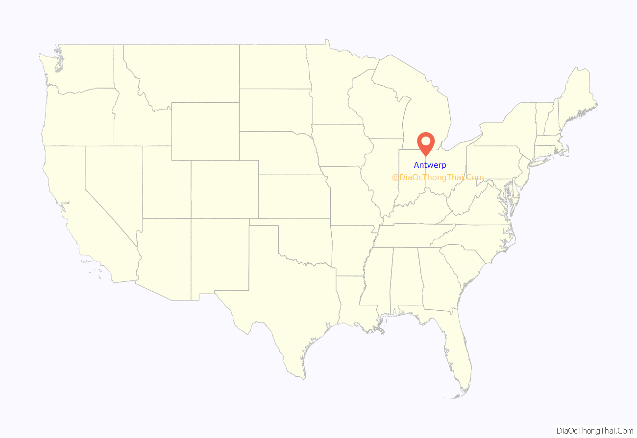
Antwerp location map. Where is Antwerp village?
History
Antwerp is located in the former wetland region known until the 19th century as the Great Black Swamp. Antwerp was founded in 1841 on the Wabash and Erie canal and the center of town moved to its present location when the railroad was extended to that point. The village was named after Antwerp, in Belgium.
In the late 19th century, Antwerp was the largest village in Paulding County; its economy was driven by lucrative local logging and tile mill industries. Accordingly, when the Wabash, St. Louis and Pacific Railway decided to erect a train station in the village, it was built larger than stations in most other communities in the region. After the train station closed in 1976, it was purchased by the local historical society; today, it is listed on the National Register of Historic Places as the Antwerp Norfolk and Western Depot.
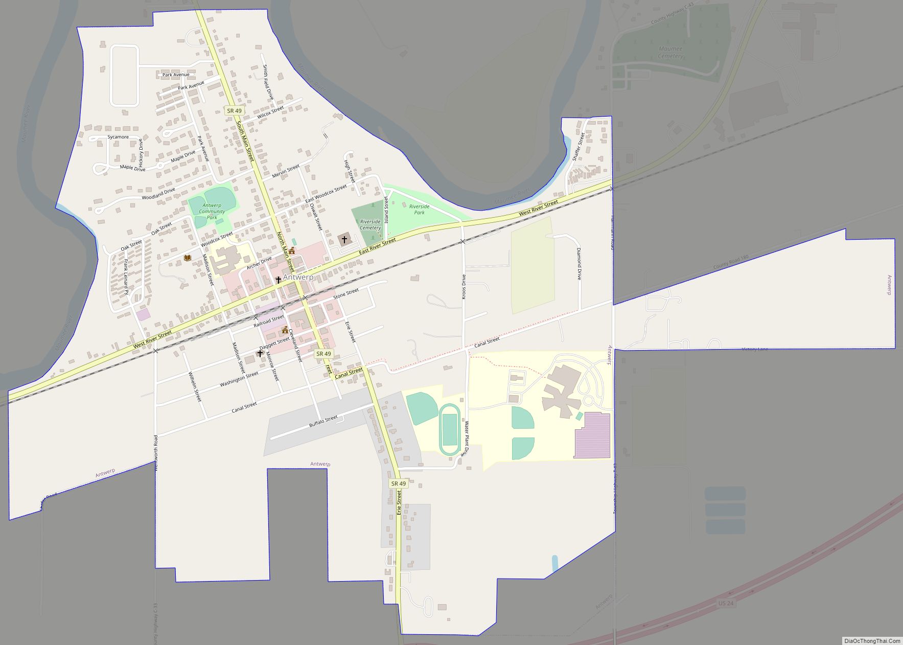
Antwerp Road Map
Antwerp city Satellite Map
Geography
According to the United States Census Bureau, the village has a total area of 1.33 square miles (3.44 km), all land.
See also
Map of Ohio State and its subdivision:- Adams
- Allen
- Ashland
- Ashtabula
- Athens
- Auglaize
- Belmont
- Brown
- Butler
- Carroll
- Champaign
- Clark
- Clermont
- Clinton
- Columbiana
- Coshocton
- Crawford
- Cuyahoga
- Darke
- Defiance
- Delaware
- Erie
- Fairfield
- Fayette
- Franklin
- Fulton
- Gallia
- Geauga
- Greene
- Guernsey
- Hamilton
- Hancock
- Hardin
- Harrison
- Henry
- Highland
- Hocking
- Holmes
- Huron
- Jackson
- Jefferson
- Knox
- Lake
- Lake Erie
- Lawrence
- Licking
- Logan
- Lorain
- Lucas
- Madison
- Mahoning
- Marion
- Medina
- Meigs
- Mercer
- Miami
- Monroe
- Montgomery
- Morgan
- Morrow
- Muskingum
- Noble
- Ottawa
- Paulding
- Perry
- Pickaway
- Pike
- Portage
- Preble
- Putnam
- Richland
- Ross
- Sandusky
- Scioto
- Seneca
- Shelby
- Stark
- Summit
- Trumbull
- Tuscarawas
- Union
- Van Wert
- Vinton
- Warren
- Washington
- Wayne
- Williams
- Wood
- Wyandot
- Alabama
- Alaska
- Arizona
- Arkansas
- California
- Colorado
- Connecticut
- Delaware
- District of Columbia
- Florida
- Georgia
- Hawaii
- Idaho
- Illinois
- Indiana
- Iowa
- Kansas
- Kentucky
- Louisiana
- Maine
- Maryland
- Massachusetts
- Michigan
- Minnesota
- Mississippi
- Missouri
- Montana
- Nebraska
- Nevada
- New Hampshire
- New Jersey
- New Mexico
- New York
- North Carolina
- North Dakota
- Ohio
- Oklahoma
- Oregon
- Pennsylvania
- Rhode Island
- South Carolina
- South Dakota
- Tennessee
- Texas
- Utah
- Vermont
- Virginia
- Washington
- West Virginia
- Wisconsin
- Wyoming
