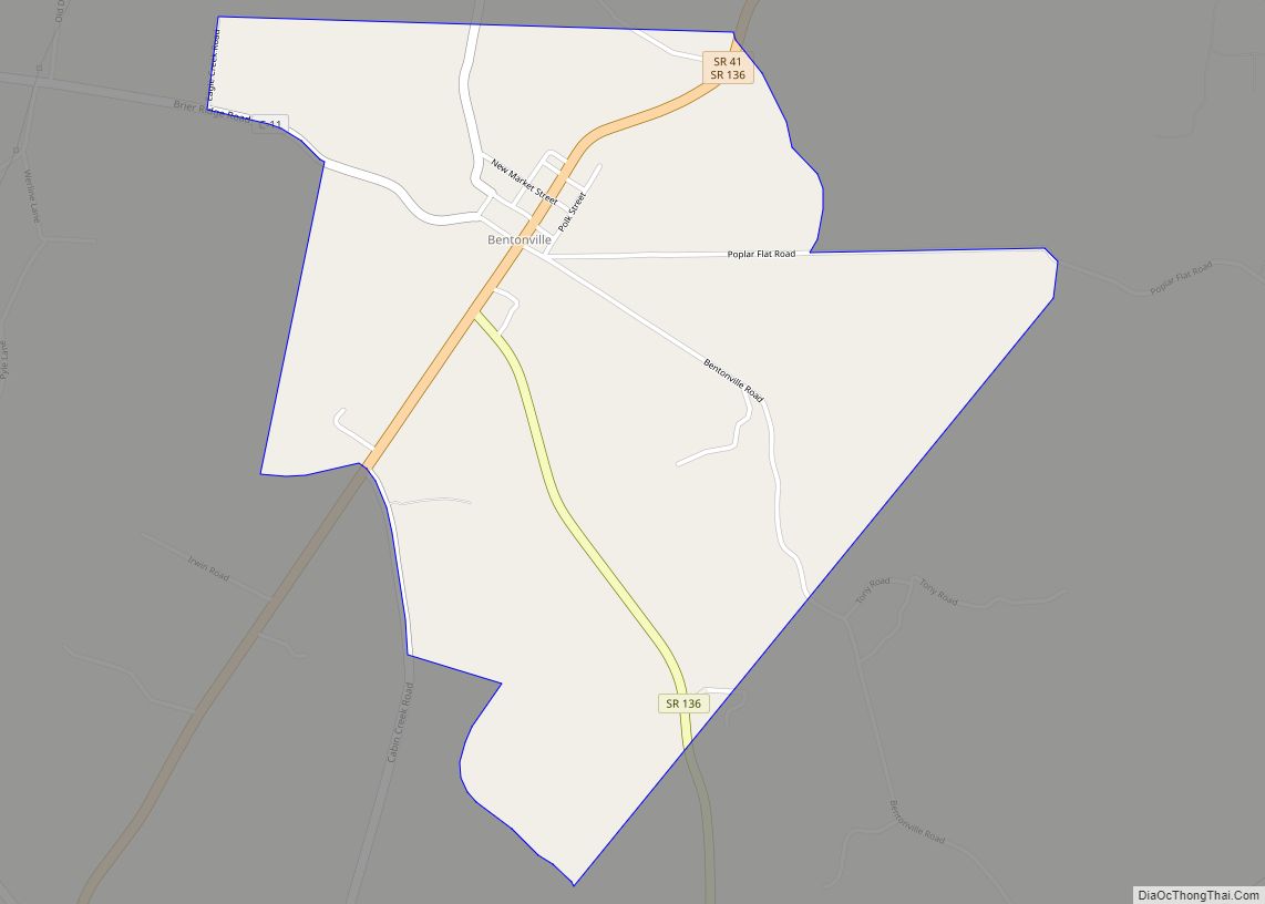
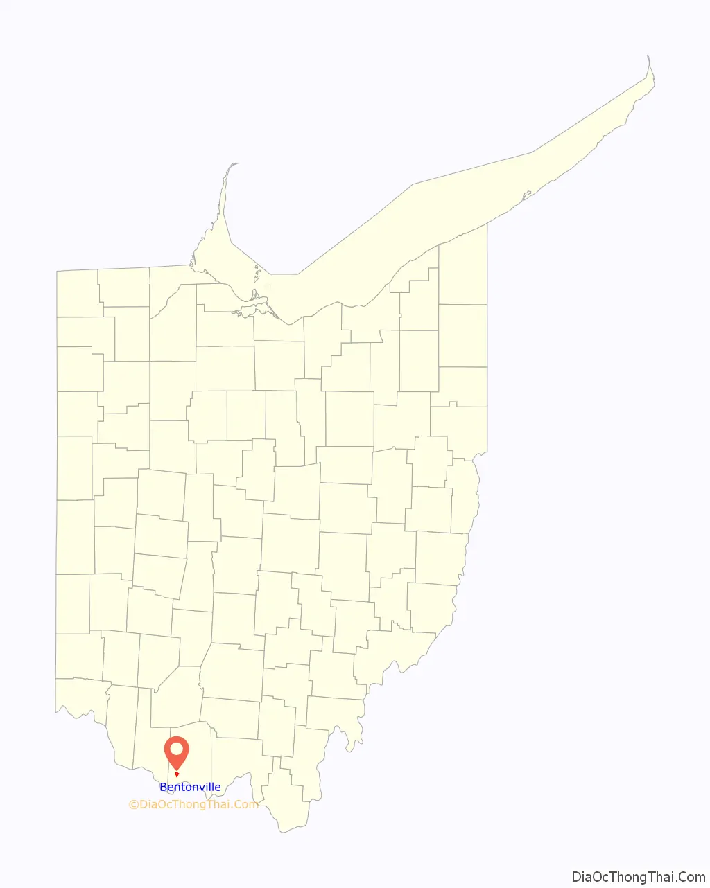
Bentonville is a census-designated place in northern Sprigg Township, Adams County, Ohio, United States. The population was 253 at the 2020 census. It has a post office with the ZIP code 45105.
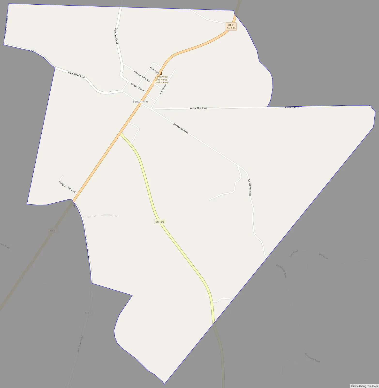
Bentonville is located on State Routes 41 and 136. They run concurrently through the community, splitting into separate routes at the south edge of Bentonville.
| Name: | Bentonville CDP |
|---|---|
| LSAD Code: | 57 |
| LSAD Description: | CDP (suffix) |
| State: | Ohio |
| County: | Adams County |
| Total Area: | 253 |
| ZIP code: | 45105 |
| Area code: | 937, 326 |
| FIPS code: | 3905676 |
Online Interactive Map
Click on ![]() to view map in "full screen" mode.
to view map in "full screen" mode.
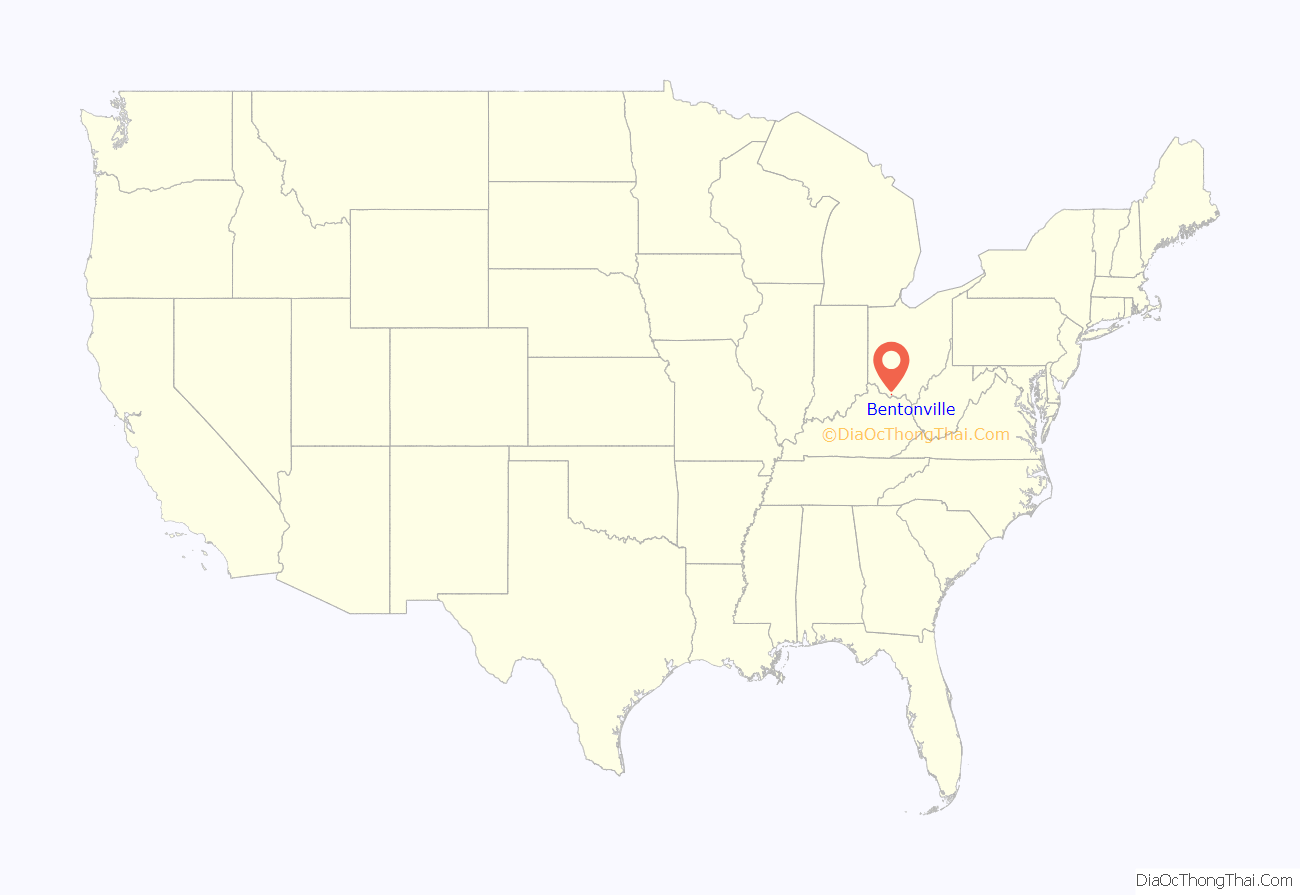
Bentonville location map. Where is Bentonville CDP?
History
Bentonville was laid out in 1839. It is named for Thomas Hart Benton, a senator from Missouri. A post office has been in operation at Bentonville since 1842.
Bentonville is the home of the Anti-Horse Thief Society monument. Horse theft is no longer a problem in Adams County. However, the Society continues to exist and hold meetings.
Verna Naylor, a former postmaster of Bentonville, was the oldest postmaster in the nation and the oldest employee of the U.S. Postal Service when she died on July 6, 2010, at the age of 94. She ran the one-person post office from her home for more than 40 years after she took over the position from her husband, the former postmaster.
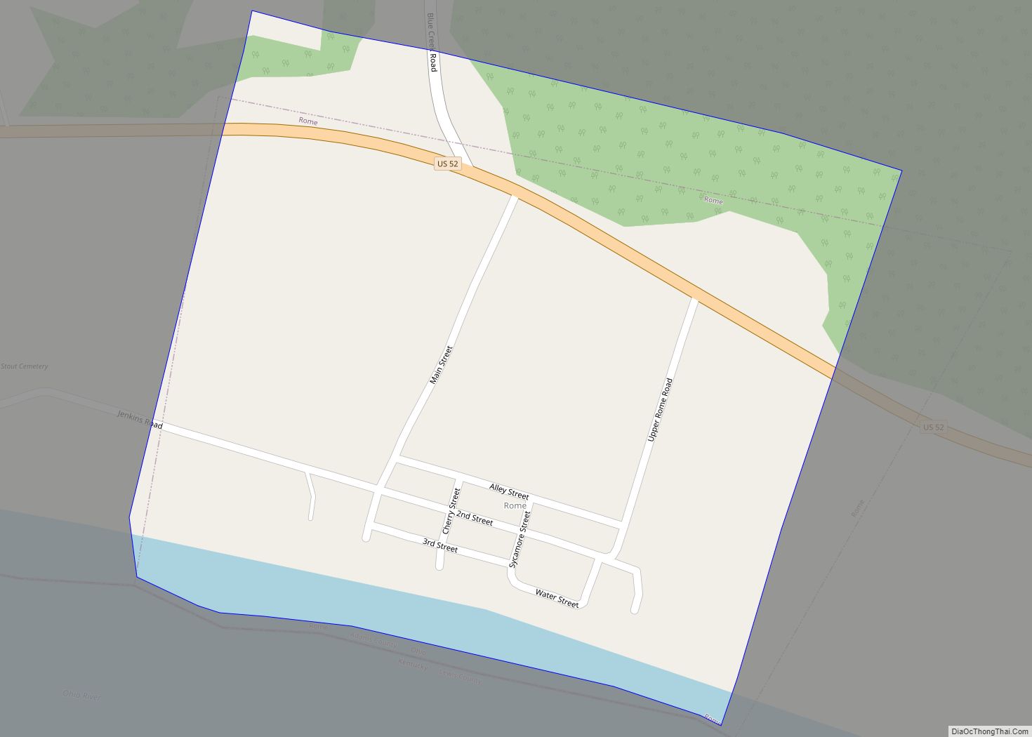
Bentonville Road Map
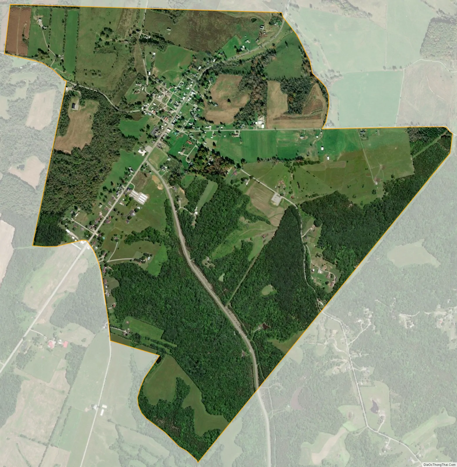
Bentonville city Satellite Map
See also
Map of Ohio State and its subdivision:- Adams
- Allen
- Ashland
- Ashtabula
- Athens
- Auglaize
- Belmont
- Brown
- Butler
- Carroll
- Champaign
- Clark
- Clermont
- Clinton
- Columbiana
- Coshocton
- Crawford
- Cuyahoga
- Darke
- Defiance
- Delaware
- Erie
- Fairfield
- Fayette
- Franklin
- Fulton
- Gallia
- Geauga
- Greene
- Guernsey
- Hamilton
- Hancock
- Hardin
- Harrison
- Henry
- Highland
- Hocking
- Holmes
- Huron
- Jackson
- Jefferson
- Knox
- Lake
- Lake Erie
- Lawrence
- Licking
- Logan
- Lorain
- Lucas
- Madison
- Mahoning
- Marion
- Medina
- Meigs
- Mercer
- Miami
- Monroe
- Montgomery
- Morgan
- Morrow
- Muskingum
- Noble
- Ottawa
- Paulding
- Perry
- Pickaway
- Pike
- Portage
- Preble
- Putnam
- Richland
- Ross
- Sandusky
- Scioto
- Seneca
- Shelby
- Stark
- Summit
- Trumbull
- Tuscarawas
- Union
- Van Wert
- Vinton
- Warren
- Washington
- Wayne
- Williams
- Wood
- Wyandot
- Alabama
- Alaska
- Arizona
- Arkansas
- California
- Colorado
- Connecticut
- Delaware
- District of Columbia
- Florida
- Georgia
- Hawaii
- Idaho
- Illinois
- Indiana
- Iowa
- Kansas
- Kentucky
- Louisiana
- Maine
- Maryland
- Massachusetts
- Michigan
- Minnesota
- Mississippi
- Missouri
- Montana
- Nebraska
- Nevada
- New Hampshire
- New Jersey
- New Mexico
- New York
- North Carolina
- North Dakota
- Ohio
- Oklahoma
- Oregon
- Pennsylvania
- Rhode Island
- South Carolina
- South Dakota
- Tennessee
- Texas
- Utah
- Vermont
- Virginia
- Washington
- West Virginia
- Wisconsin
- Wyoming