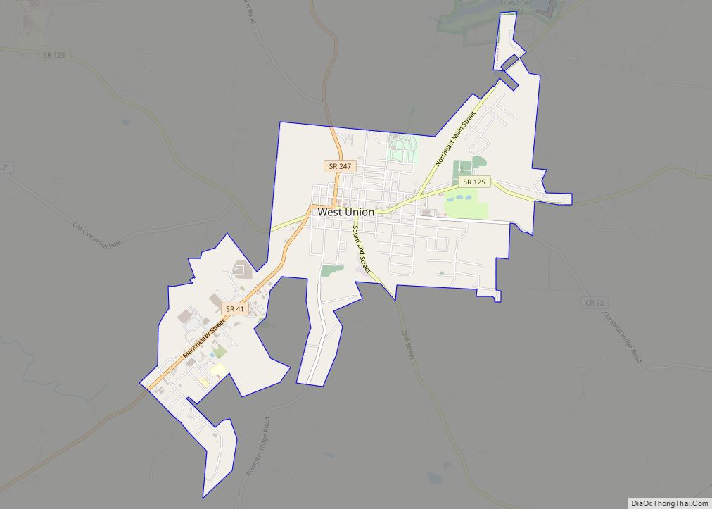
West Union is a village in Adams County, Ohio, United States, about 55 miles (89 km) southeast of Cincinnati. The population was 3,004 at the 2020 census. It is the county seat of Adams County. West Union is served by West Union High School, the Adams County/Ohio Valley School District, and the West Union Public Library, a branch of the Adams County Public Library.
| Name: | West Union village |
|---|---|
| LSAD Code: | 47 |
| LSAD Description: | village (suffix) |
| State: | Ohio |
| County: | Adams County |
| Elevation: | 906 ft (276 m) |
| Total Area: | 2.83 sq mi (7.33 km²) |
| Land Area: | 2.83 sq mi (7.33 km²) |
| Water Area: | 0.00 sq mi (0.00 km²) |
| Total Population: | 3,004 |
| Population Density: | 1,061.11/sq mi (409.71/km²) |
| ZIP code: | 45693 |
| Area code: | 937, 326 |
| FIPS code: | 3984294 |
| GNISfeature ID: | 1058010 |
| Website: | www.westunionoh.net |
Online Interactive Map
Click on ![]() to view map in "full screen" mode.
to view map in "full screen" mode.
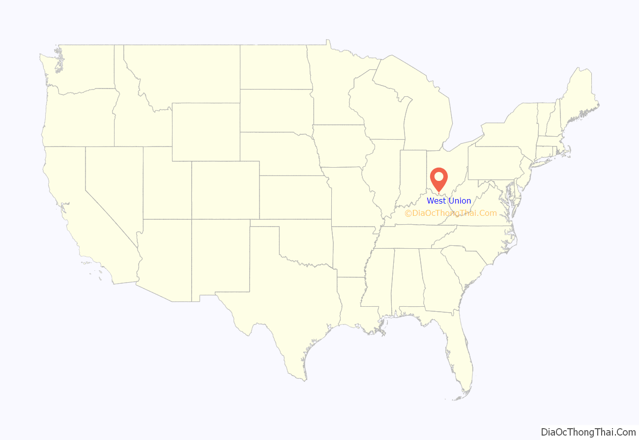
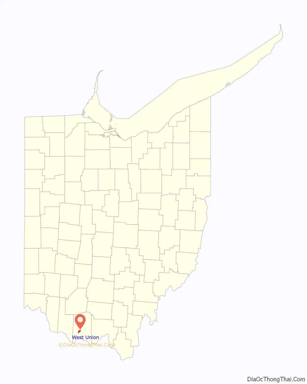
West Union location map. Where is West Union village?
History
West Union was laid out in 1803. A post office called West Union has been in operation since 1805. The village was incorporated in 1859.
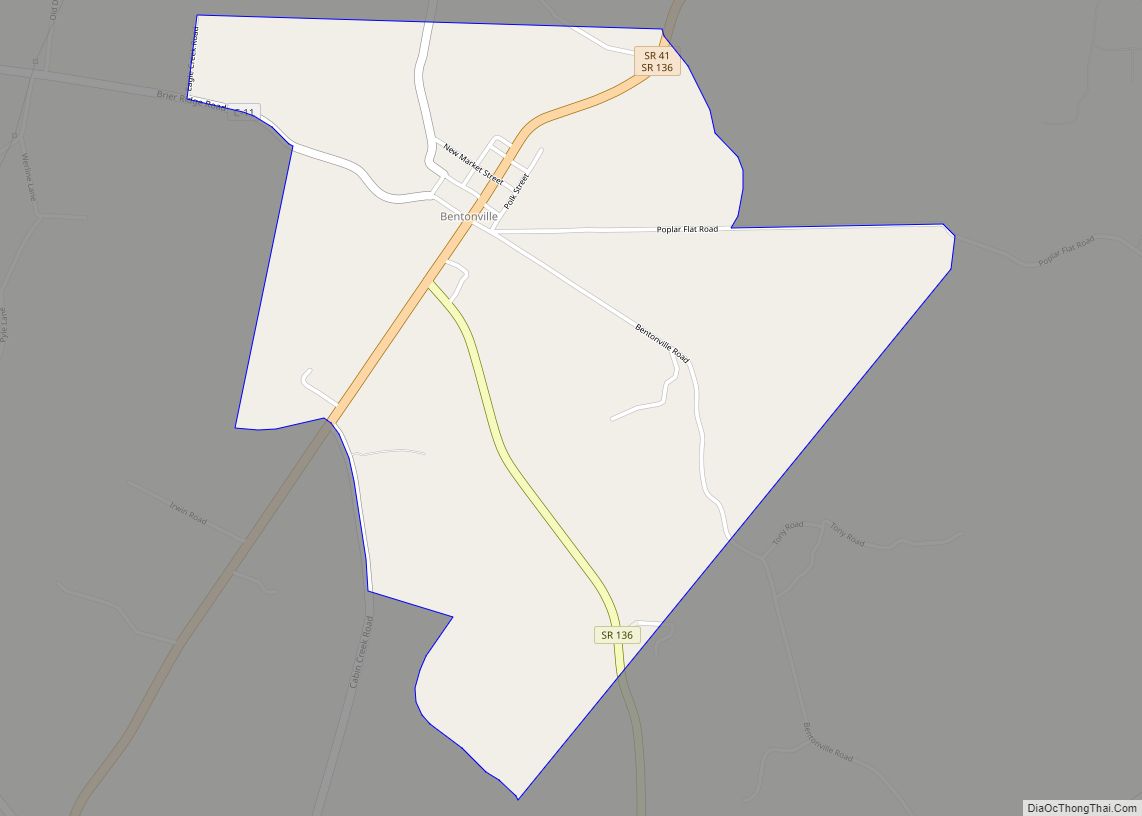
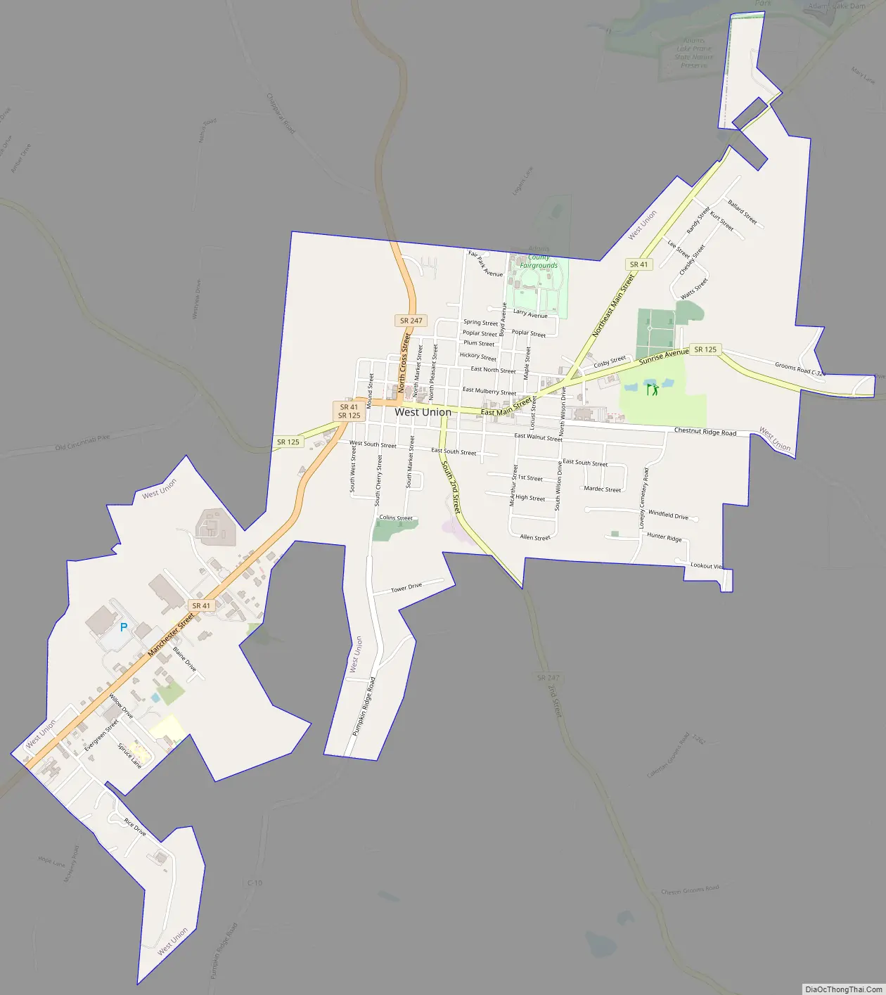
West Union Road Map
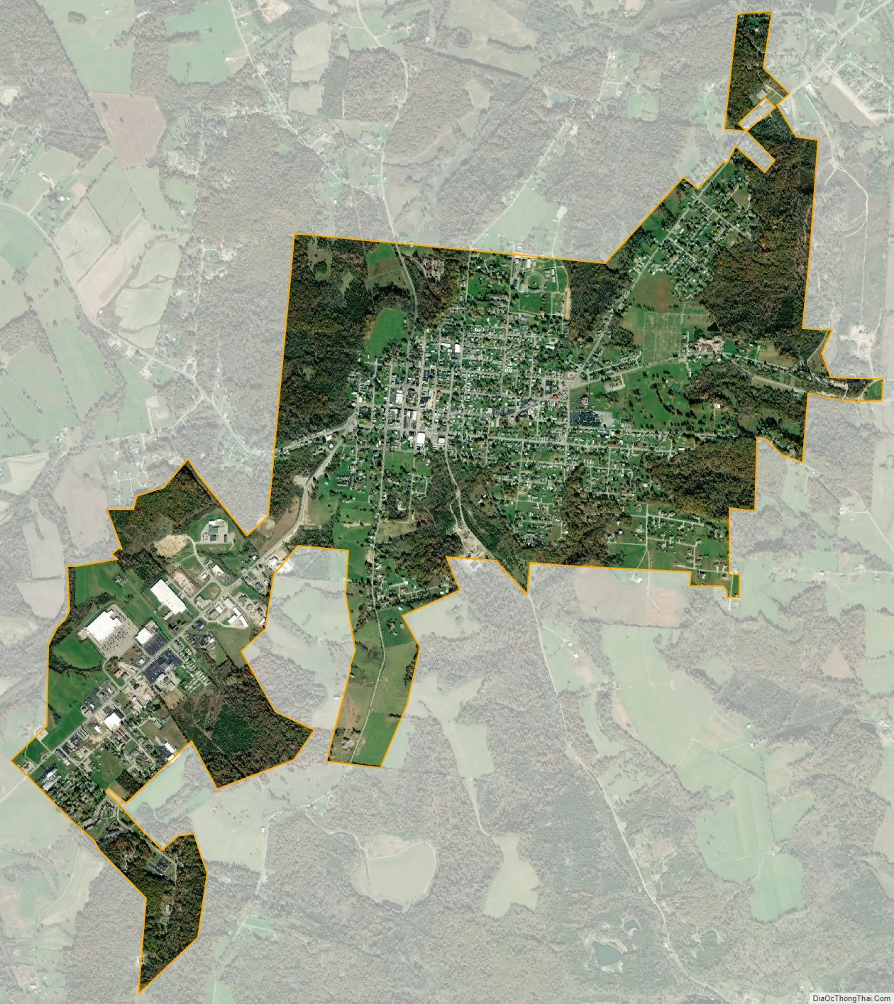
West Union city Satellite Map
Geography
West Union is located at 38°47′38″N 83°32′38″W / 38.79389°N 83.54389°W / 38.79389; -83.54389 (38.793979, -83.543500).
According to the United States Census Bureau, the village has a total area of 2.83 square miles (7.33 km), all land.
State Routes 41, 125, and 247 all intersect and run concurrently through the downtown area.
Ironically, West Union lies east of Union, Ohio, a city in Montgomery County approximately 10 miles north of Dayton. West Union and Union are not adjacent to each other, actually being approximately 120 miles from each other.
See also
Map of Ohio State and its subdivision:- Adams
- Allen
- Ashland
- Ashtabula
- Athens
- Auglaize
- Belmont
- Brown
- Butler
- Carroll
- Champaign
- Clark
- Clermont
- Clinton
- Columbiana
- Coshocton
- Crawford
- Cuyahoga
- Darke
- Defiance
- Delaware
- Erie
- Fairfield
- Fayette
- Franklin
- Fulton
- Gallia
- Geauga
- Greene
- Guernsey
- Hamilton
- Hancock
- Hardin
- Harrison
- Henry
- Highland
- Hocking
- Holmes
- Huron
- Jackson
- Jefferson
- Knox
- Lake
- Lake Erie
- Lawrence
- Licking
- Logan
- Lorain
- Lucas
- Madison
- Mahoning
- Marion
- Medina
- Meigs
- Mercer
- Miami
- Monroe
- Montgomery
- Morgan
- Morrow
- Muskingum
- Noble
- Ottawa
- Paulding
- Perry
- Pickaway
- Pike
- Portage
- Preble
- Putnam
- Richland
- Ross
- Sandusky
- Scioto
- Seneca
- Shelby
- Stark
- Summit
- Trumbull
- Tuscarawas
- Union
- Van Wert
- Vinton
- Warren
- Washington
- Wayne
- Williams
- Wood
- Wyandot
- Alabama
- Alaska
- Arizona
- Arkansas
- California
- Colorado
- Connecticut
- Delaware
- District of Columbia
- Florida
- Georgia
- Hawaii
- Idaho
- Illinois
- Indiana
- Iowa
- Kansas
- Kentucky
- Louisiana
- Maine
- Maryland
- Massachusetts
- Michigan
- Minnesota
- Mississippi
- Missouri
- Montana
- Nebraska
- Nevada
- New Hampshire
- New Jersey
- New Mexico
- New York
- North Carolina
- North Dakota
- Ohio
- Oklahoma
- Oregon
- Pennsylvania
- Rhode Island
- South Carolina
- South Dakota
- Tennessee
- Texas
- Utah
- Vermont
- Virginia
- Washington
- West Virginia
- Wisconsin
- Wyoming