Berlin is an unincorporated community and census-designated place in central Berlin Township, Holmes County, Ohio, United States. As of the 2020 census it had a population of 1,447. Located in Ohio’s Amish Country, the village is part of a large regional tourism industry.
| Name: | Berlin CDP |
|---|---|
| LSAD Code: | 57 |
| LSAD Description: | CDP (suffix) |
| State: | Ohio |
| County: | Holmes County |
| Elevation: | 1,285 ft (392 m) |
| Total Area: | 3.83 sq mi (9.91 km²) |
| Land Area: | 3.82 sq mi (9.89 km²) |
| Water Area: | 0.01 sq mi (0.02 km²) |
| Total Population: | 1,447 |
| Population Density: | 378.89/sq mi (146.31/km²) |
| ZIP code: | 44610 |
| Area code: | 330 |
| FIPS code: | 3905816 |
| GNISfeature ID: | 1048519 |
Online Interactive Map
Click on ![]() to view map in "full screen" mode.
to view map in "full screen" mode.
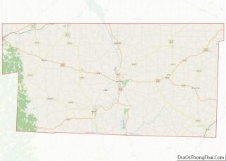
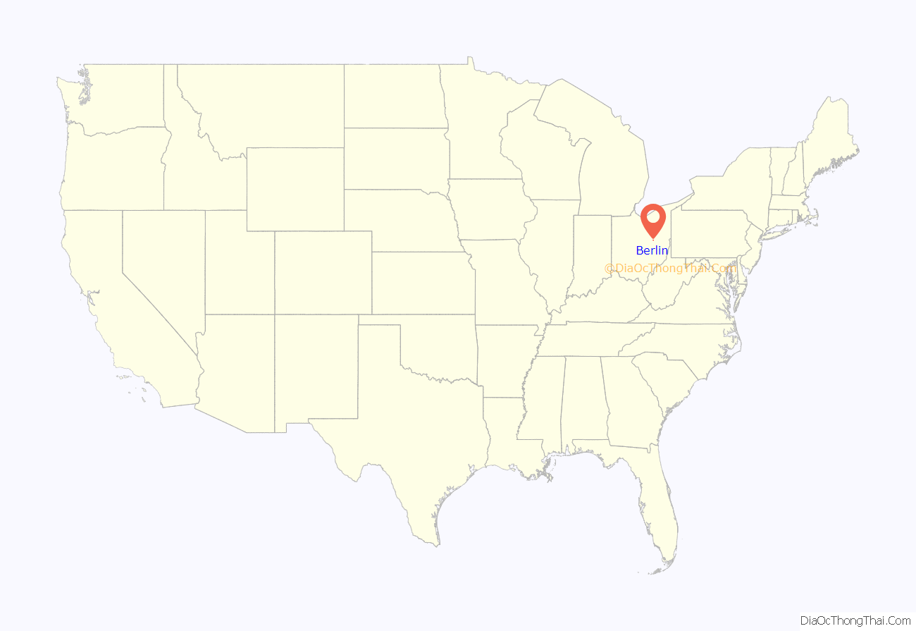
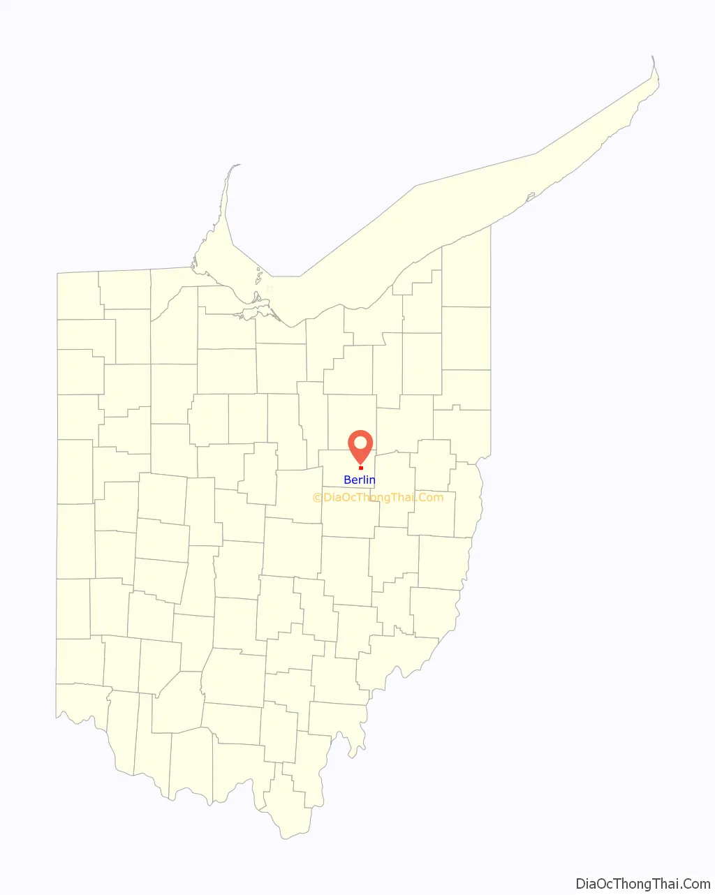
Berlin location map. Where is Berlin CDP?
History
The village of Berlin – the oldest existing village in Holmes County – was first planned on July 2, 1816, by John Swigert, a native of Berlin, Germany. Swigert’s plan provided for 108 lots to be arrayed along two streets, one north-south and the other east-west. Another early settler, Joseph Troyer, hailed from Berlin, Pennsylvania, and together Swigert and Troyer bestowed upon the new settlement the shared name of their respective home towns. Berlin is located at a high point in Holmes County, and local legend holds that Swigert chose the site because, thus situated, the town could be more readily defended against Indian attack.
A large share of the early settlers of the Berlin area were of German or Swiss ancestry and came to Ohio via Pennsylvania.
In 1818, a school was established in Berlin and in 1822 a post office. These were soon followed by Methodist, Presbyterian, Baptist and Mennonite churches. Later, Amish settlers began to arrive. Berlin enjoyed commercial and industrial growth, and during the 19th century was home to machine shops, a foundry, blacksmith shops, a hat factory, hotels, an auction house, and a variety of retail establishments. Berlin was described in 1833 as having 21 residential houses, two stores, two taverns and a physician.
Today, Berlin is in the center of Ohio’s largest Amish community and is home to the Amish and Mennonite Heritage Center, featuring the Amish and Anabaptist history cyclorama, Behalt. Ohio has about 56,000 Amish residents, an increase of 60 percent since 1992.
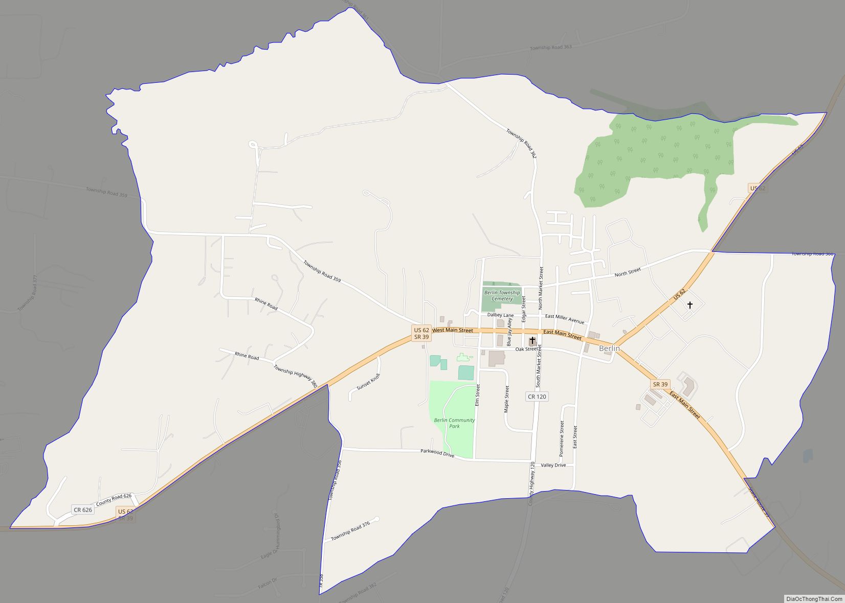
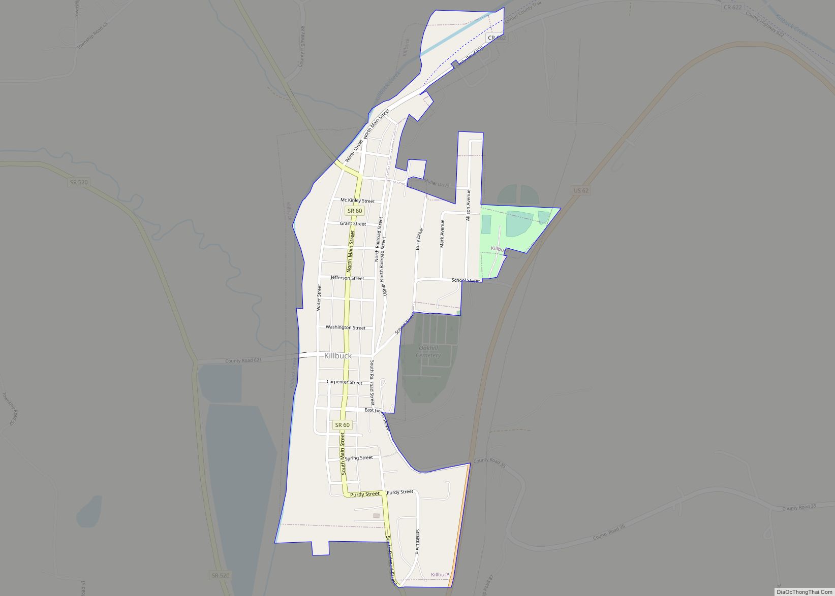
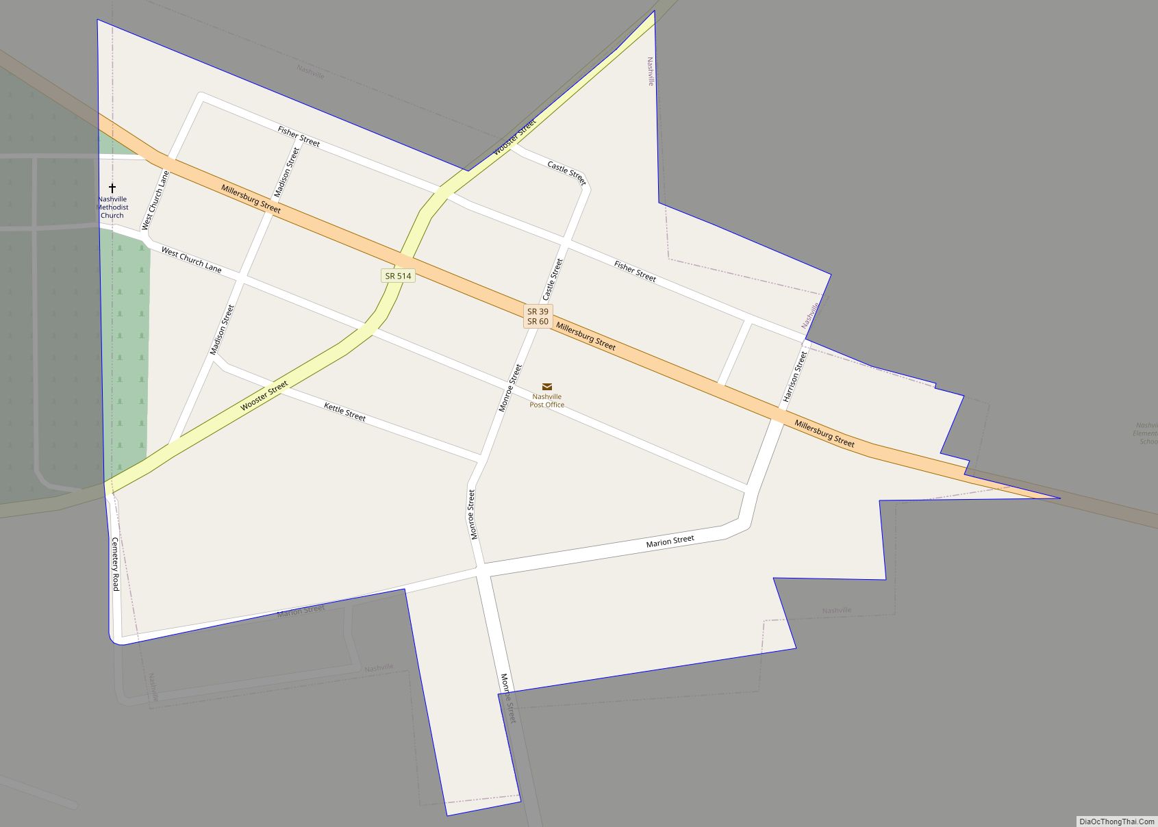
Berlin Road Map
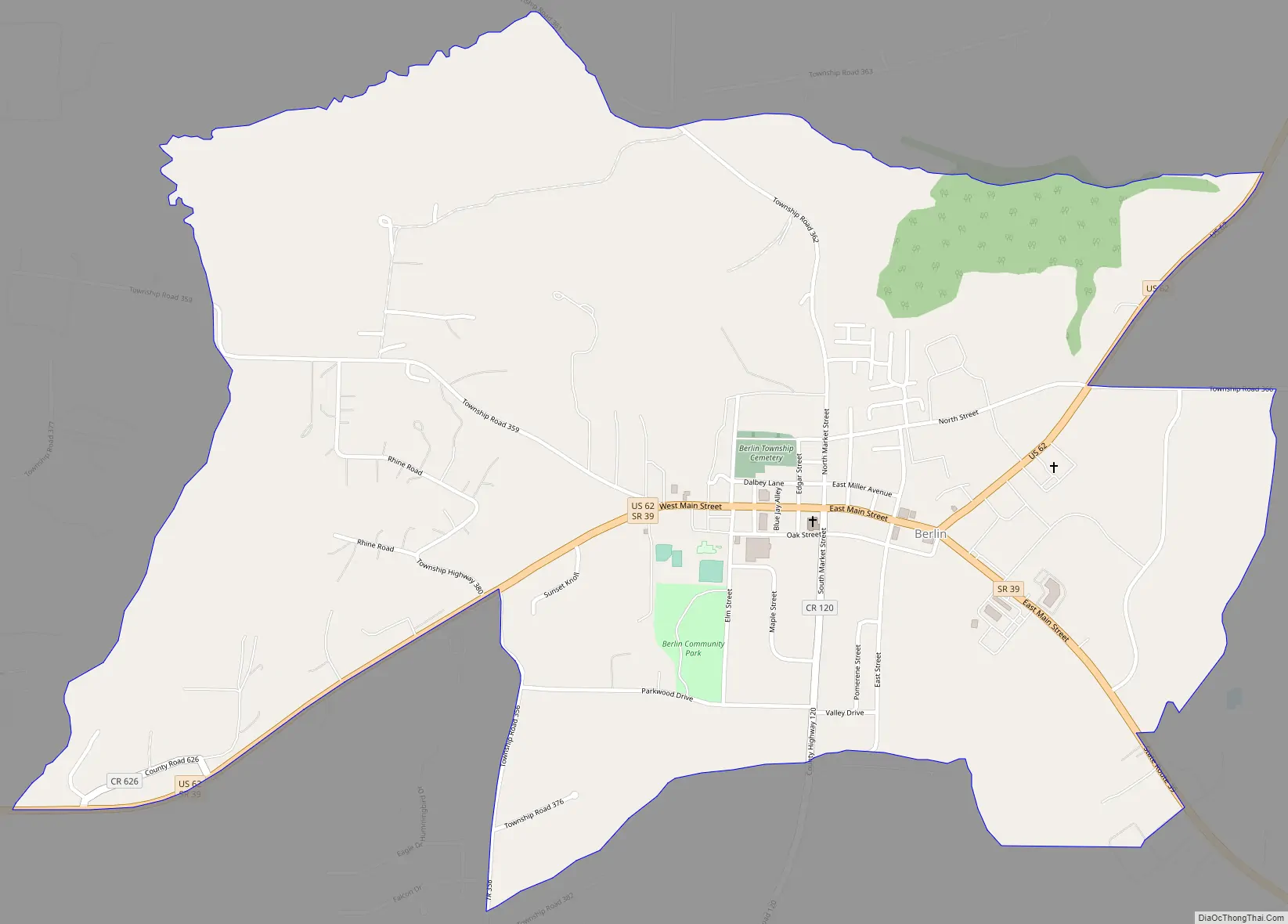
Berlin city Satellite Map
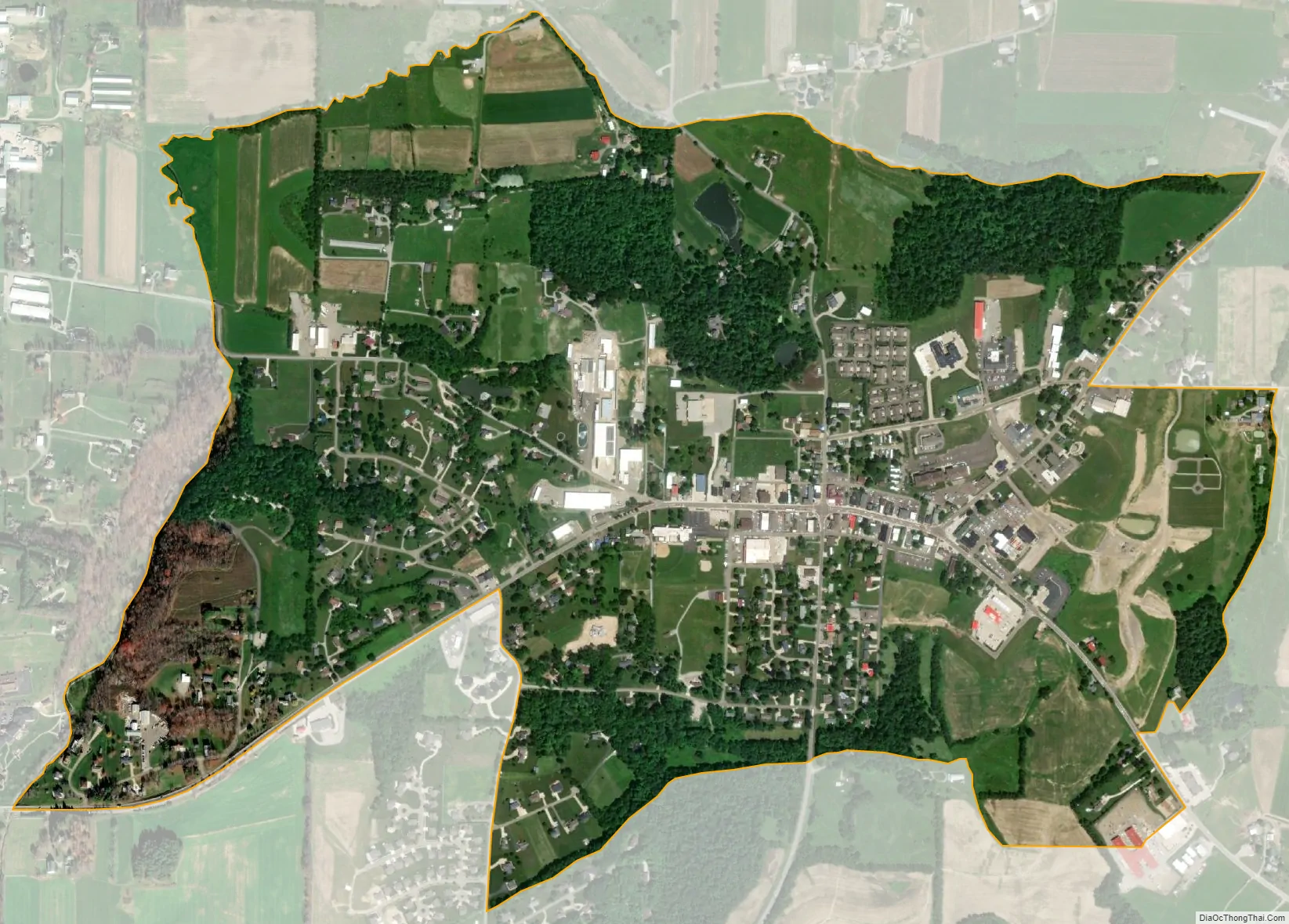
Geography
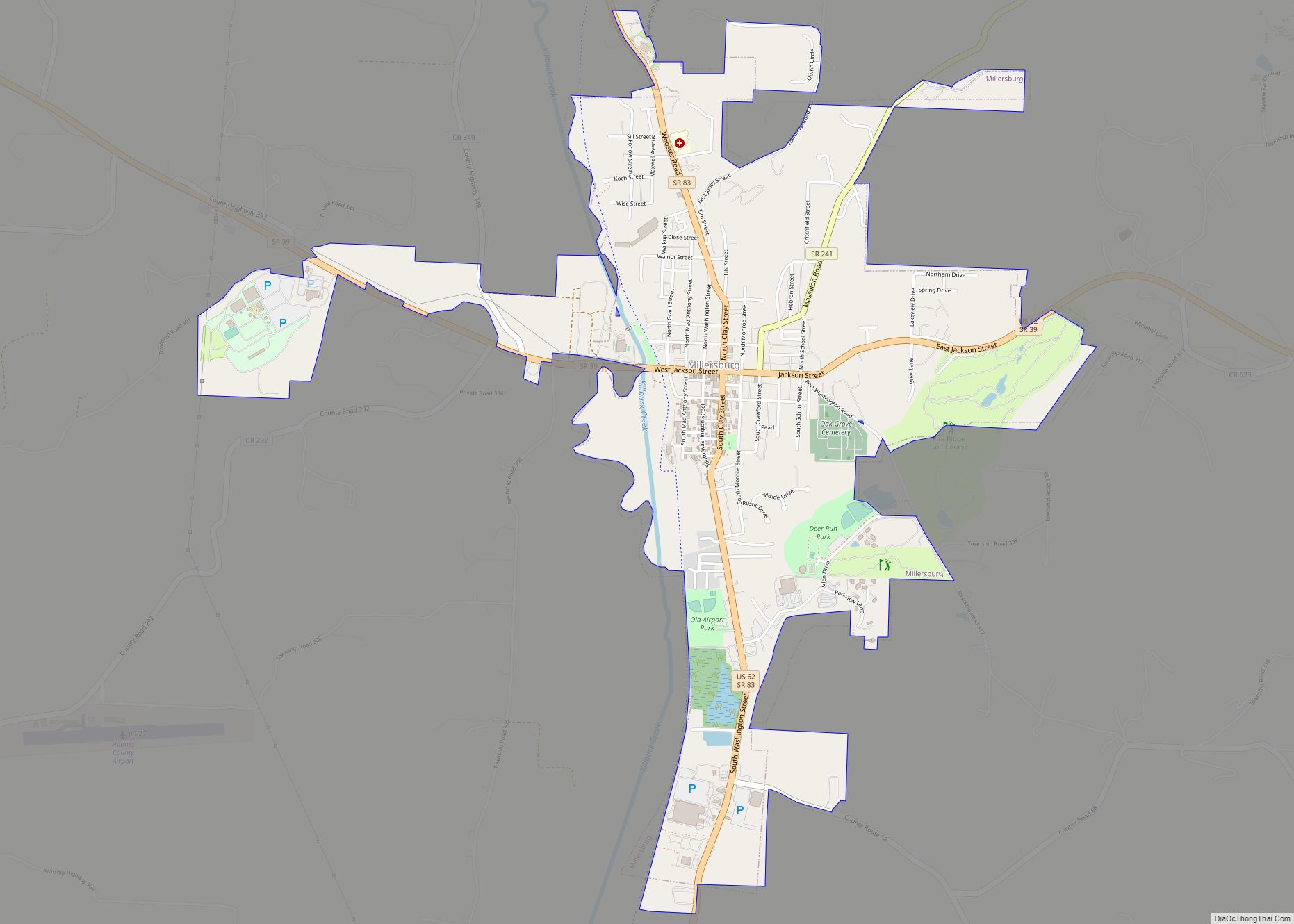
Berlin is situated in east-central Holmes County at the junction of U.S. Route 62 and State Route 39. US-62 leads northeast 11 miles (18 km) to Wilmot, and State Route 39 leads southeast 10 miles (16 km) to Sugarcreek. Together, the two highways lead west 7 miles (11 km) to Millersburg, the Holmes county seat.
Berlin is located at latitude 40° 33′ 40″ north and longitude 81° 47′ 40″ west. The ZIP code is 44610 and the FIPS place code is 05816. The elevation ranges from 1,200 to 1,280 feet (370 to 390 m) above sea level.
See also
Map of Ohio State and its subdivision:- Adams
- Allen
- Ashland
- Ashtabula
- Athens
- Auglaize
- Belmont
- Brown
- Butler
- Carroll
- Champaign
- Clark
- Clermont
- Clinton
- Columbiana
- Coshocton
- Crawford
- Cuyahoga
- Darke
- Defiance
- Delaware
- Erie
- Fairfield
- Fayette
- Franklin
- Fulton
- Gallia
- Geauga
- Greene
- Guernsey
- Hamilton
- Hancock
- Hardin
- Harrison
- Henry
- Highland
- Hocking
- Holmes
- Huron
- Jackson
- Jefferson
- Knox
- Lake
- Lake Erie
- Lawrence
- Licking
- Logan
- Lorain
- Lucas
- Madison
- Mahoning
- Marion
- Medina
- Meigs
- Mercer
- Miami
- Monroe
- Montgomery
- Morgan
- Morrow
- Muskingum
- Noble
- Ottawa
- Paulding
- Perry
- Pickaway
- Pike
- Portage
- Preble
- Putnam
- Richland
- Ross
- Sandusky
- Scioto
- Seneca
- Shelby
- Stark
- Summit
- Trumbull
- Tuscarawas
- Union
- Van Wert
- Vinton
- Warren
- Washington
- Wayne
- Williams
- Wood
- Wyandot
- Alabama
- Alaska
- Arizona
- Arkansas
- California
- Colorado
- Connecticut
- Delaware
- District of Columbia
- Florida
- Georgia
- Hawaii
- Idaho
- Illinois
- Indiana
- Iowa
- Kansas
- Kentucky
- Louisiana
- Maine
- Maryland
- Massachusetts
- Michigan
- Minnesota
- Mississippi
- Missouri
- Montana
- Nebraska
- Nevada
- New Hampshire
- New Jersey
- New Mexico
- New York
- North Carolina
- North Dakota
- Ohio
- Oklahoma
- Oregon
- Pennsylvania
- Rhode Island
- South Carolina
- South Dakota
- Tennessee
- Texas
- Utah
- Vermont
- Virginia
- Washington
- West Virginia
- Wisconsin
- Wyoming