Blakeslee is a village in Williams County, Ohio, United States. The population was 104 at the 2020 census. The town motto is, “A Half Mile Of Smile”. Popular restaurant, Sam’s Place, celebrated its 100 yr. anniversary in 2022.
| Name: | Blakeslee village |
|---|---|
| LSAD Code: | 47 |
| LSAD Description: | village (suffix) |
| State: | Ohio |
| County: | Williams County |
| Elevation: | 863 ft (263 m) |
| Total Area: | 0.09 sq mi (0.24 km²) |
| Land Area: | 0.09 sq mi (0.24 km²) |
| Water Area: | 0.00 sq mi (0.00 km²) |
| Total Population: | 104 |
| Population Density: | 1,106.38/sq mi (425.89/km²) |
| ZIP code: | 43505 |
| Area code: | 419 |
| FIPS code: | 3906810 |
| GNISfeature ID: | 1064447 |
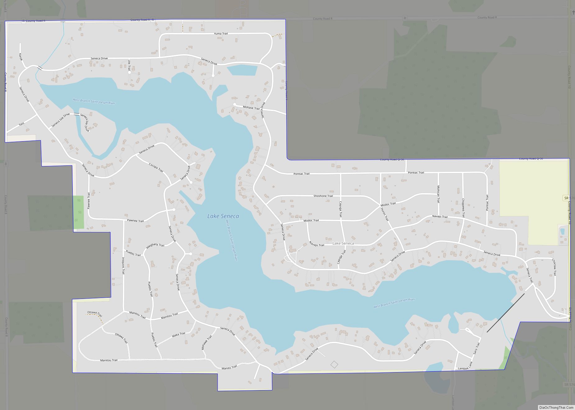
Online Interactive Map
Click on ![]() to view map in "full screen" mode.
to view map in "full screen" mode.
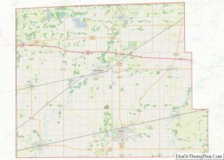
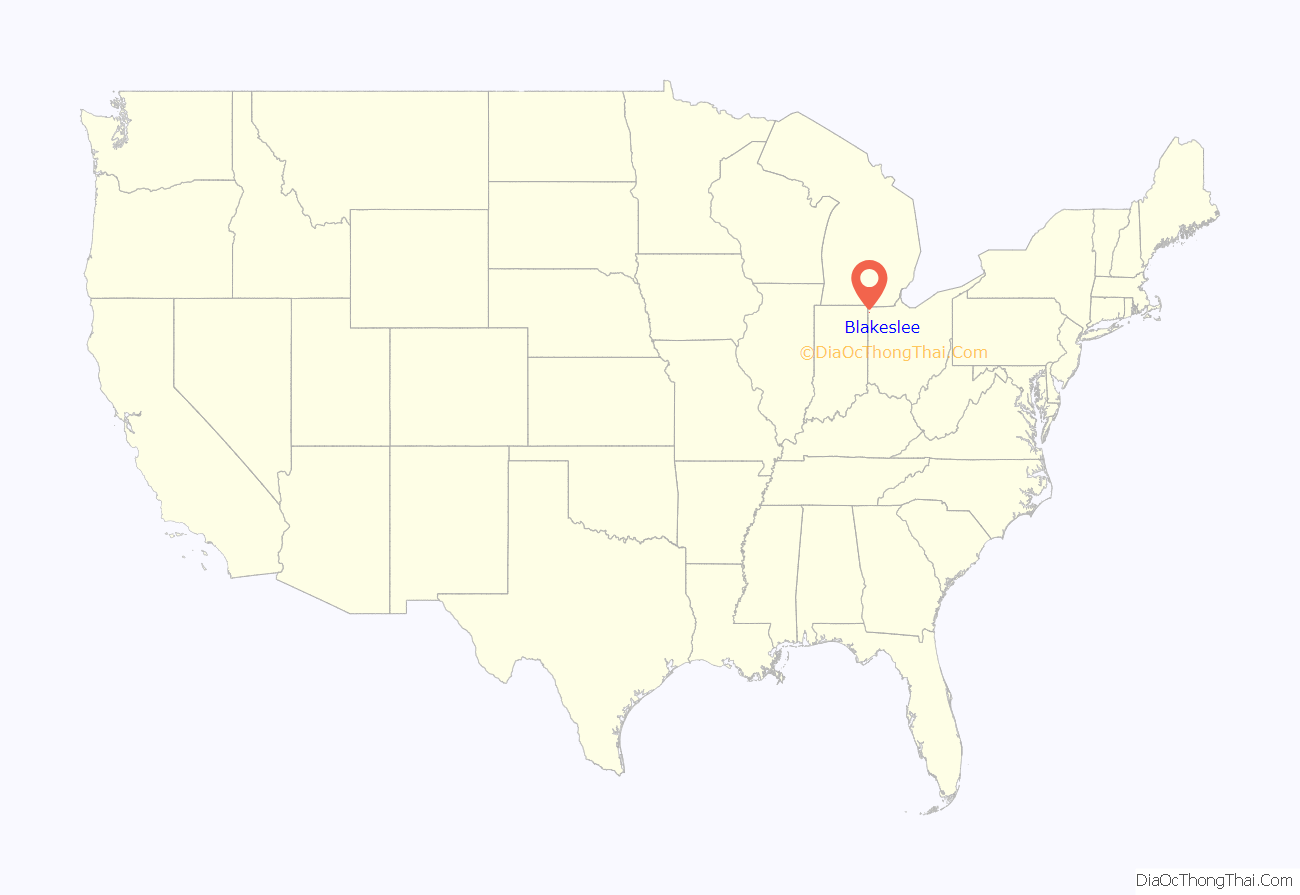
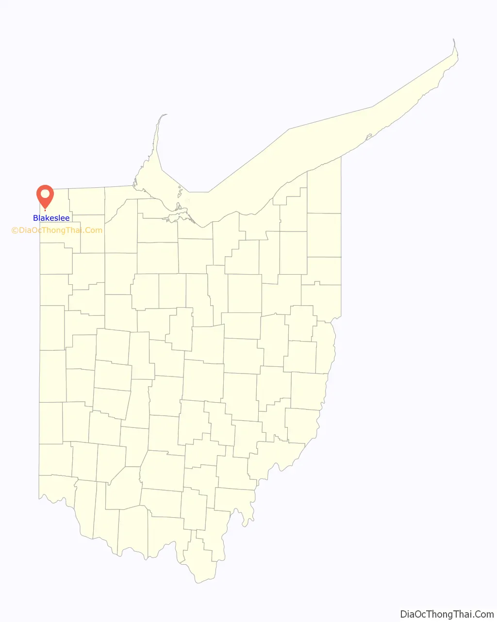
Blakeslee location map. Where is Blakeslee village?
History
Blakeslee was platted in 1880. The village was named for Schuyler E. Blakeslee, a local attorney. A post office has been in operation at Blakeslee since 1880.
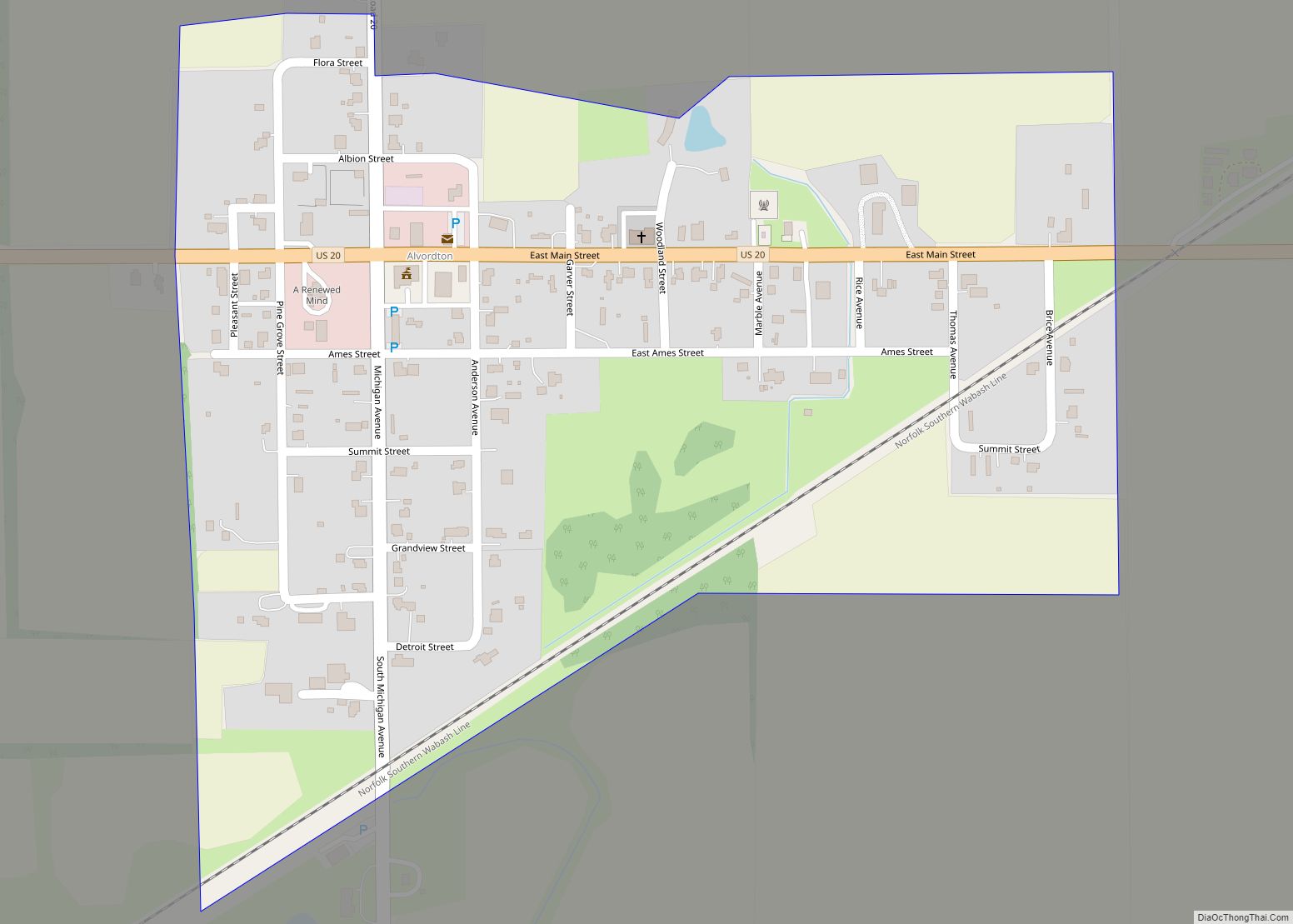
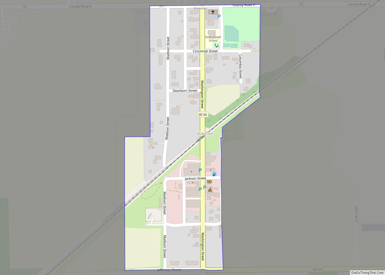
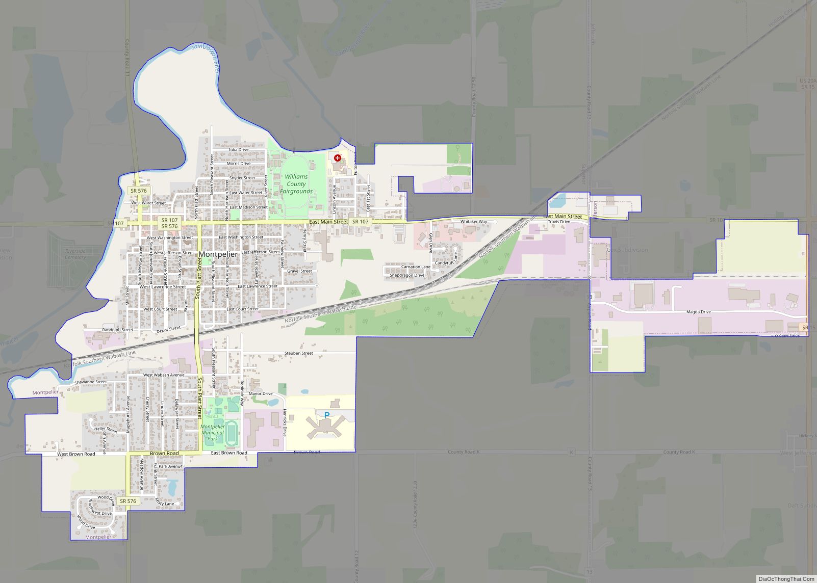
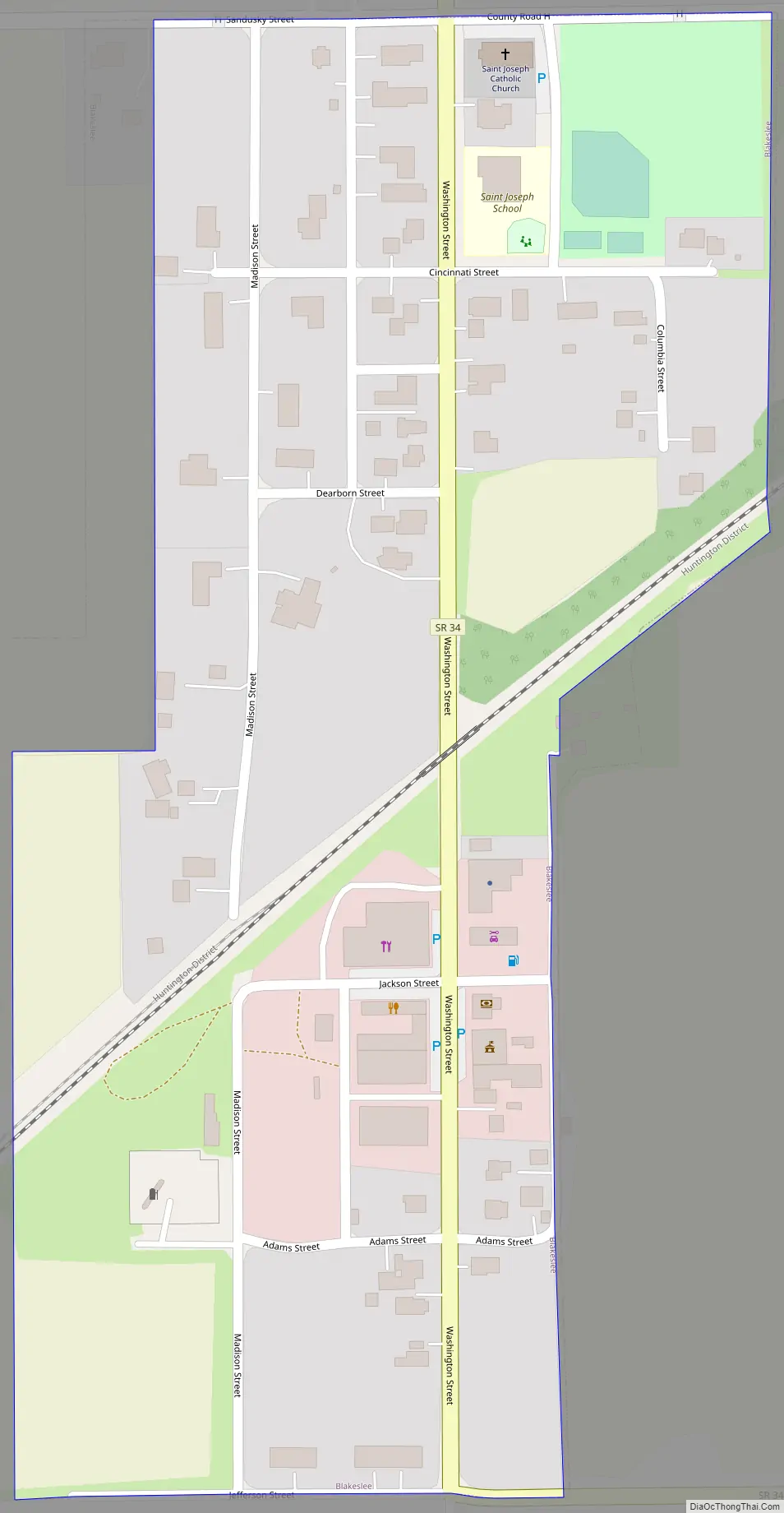
Blakeslee Road Map
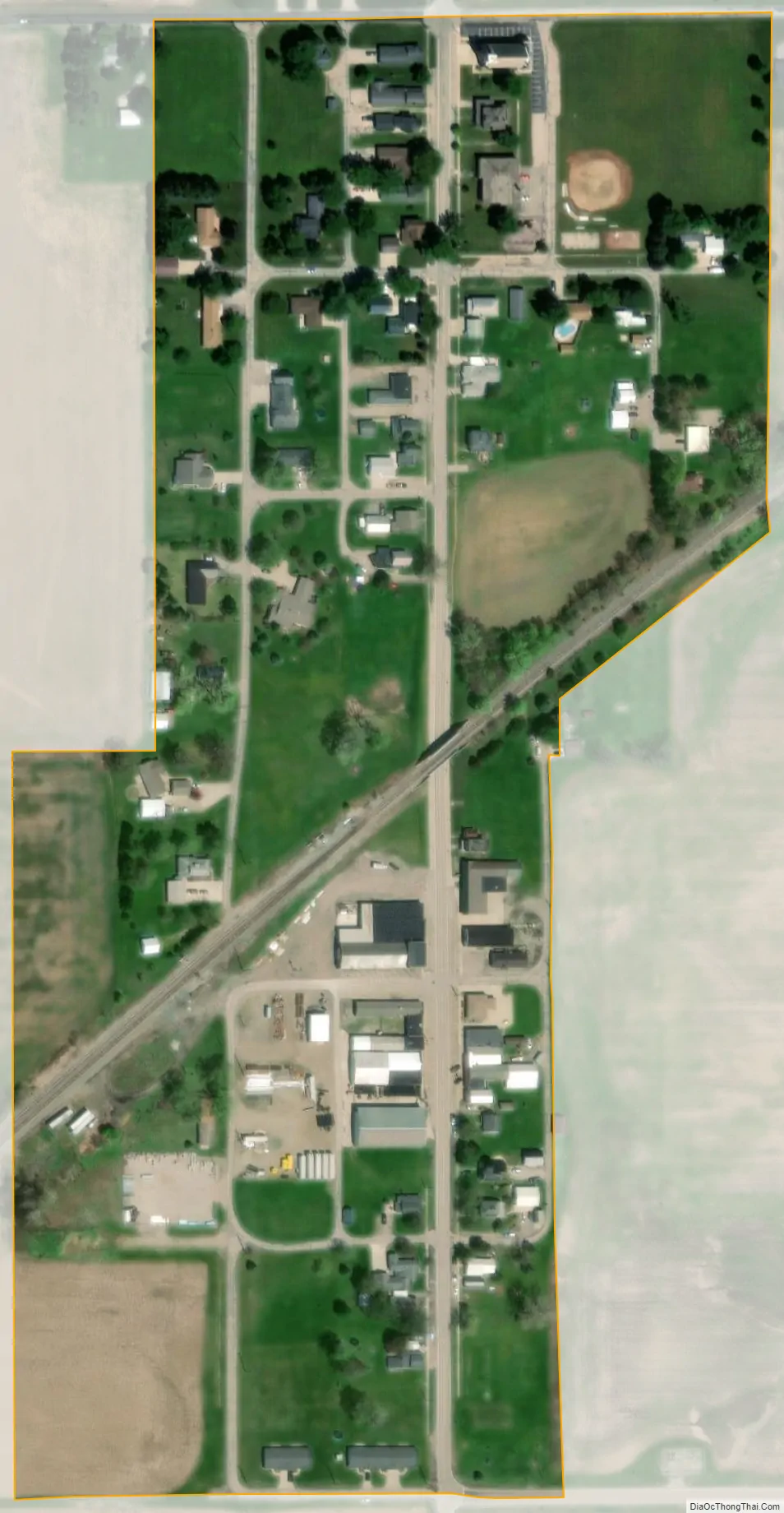
Blakeslee city Satellite Map
Geography
Blakeslee is located at 41°31′25″N 84°43′48″W / 41.52361°N 84.73000°W / 41.52361; -84.73000 (41.523639, -84.730014).
According to the United States Census Bureau, the village has a total area of 0.11 square miles (0.28 km), all land.
See also
Map of Ohio State and its subdivision:- Adams
- Allen
- Ashland
- Ashtabula
- Athens
- Auglaize
- Belmont
- Brown
- Butler
- Carroll
- Champaign
- Clark
- Clermont
- Clinton
- Columbiana
- Coshocton
- Crawford
- Cuyahoga
- Darke
- Defiance
- Delaware
- Erie
- Fairfield
- Fayette
- Franklin
- Fulton
- Gallia
- Geauga
- Greene
- Guernsey
- Hamilton
- Hancock
- Hardin
- Harrison
- Henry
- Highland
- Hocking
- Holmes
- Huron
- Jackson
- Jefferson
- Knox
- Lake
- Lake Erie
- Lawrence
- Licking
- Logan
- Lorain
- Lucas
- Madison
- Mahoning
- Marion
- Medina
- Meigs
- Mercer
- Miami
- Monroe
- Montgomery
- Morgan
- Morrow
- Muskingum
- Noble
- Ottawa
- Paulding
- Perry
- Pickaway
- Pike
- Portage
- Preble
- Putnam
- Richland
- Ross
- Sandusky
- Scioto
- Seneca
- Shelby
- Stark
- Summit
- Trumbull
- Tuscarawas
- Union
- Van Wert
- Vinton
- Warren
- Washington
- Wayne
- Williams
- Wood
- Wyandot
- Alabama
- Alaska
- Arizona
- Arkansas
- California
- Colorado
- Connecticut
- Delaware
- District of Columbia
- Florida
- Georgia
- Hawaii
- Idaho
- Illinois
- Indiana
- Iowa
- Kansas
- Kentucky
- Louisiana
- Maine
- Maryland
- Massachusetts
- Michigan
- Minnesota
- Mississippi
- Missouri
- Montana
- Nebraska
- Nevada
- New Hampshire
- New Jersey
- New Mexico
- New York
- North Carolina
- North Dakota
- Ohio
- Oklahoma
- Oregon
- Pennsylvania
- Rhode Island
- South Carolina
- South Dakota
- Tennessee
- Texas
- Utah
- Vermont
- Virginia
- Washington
- West Virginia
- Wisconsin
- Wyoming