Bowerston is a village in Harrison County, Ohio, United States. The population was 356 at the 2020 census.
| Name: | Bowerston village |
|---|---|
| LSAD Code: | 47 |
| LSAD Description: | village (suffix) |
| State: | Ohio |
| County: | Harrison County |
| Elevation: | 951 ft (290 m) |
| Total Area: | 0.51 sq mi (1.31 km²) |
| Land Area: | 0.51 sq mi (1.31 km²) |
| Water Area: | 0.00 sq mi (0.00 km²) |
| Total Population: | 356 |
| Population Density: | 703.56/sq mi (271.43/km²) |
| ZIP code: | 44695 |
| Area code: | 740 |
| FIPS code: | 3907916 |
| GNISfeature ID: | 1048536 |
Online Interactive Map
Click on ![]() to view map in "full screen" mode.
to view map in "full screen" mode.
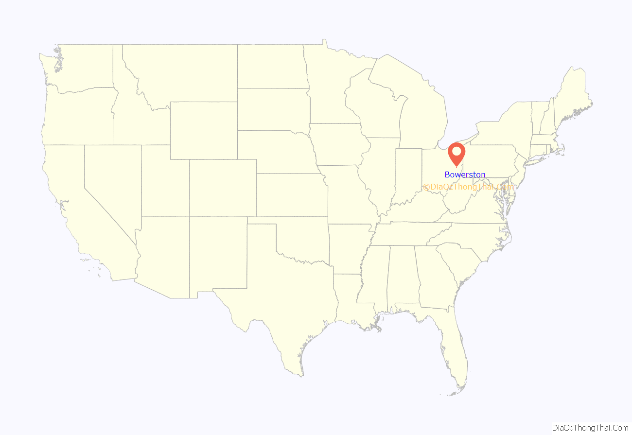
Bowerston location map. Where is Bowerston village?
History
The village of Bowerston was settled in the early 19th century by Barnhard Bower and his brother John. When they first moved to the area, two mills were already built on the south side of Conotton Creek. One mill was a sawmill, the other a gristmill, and in 1804, the Bower brothers began to rebuild the mills. In 1816, the settlement called Bower’s Mills was laid out and later it was called Bowersville and finally Bowerston. Bowerston was platted by David Bower, Henry Hoover, and Nathaniel Bower on August 21, 1851, and was filed in court August 2, 1852. The village was incorporated April 2, 1883.
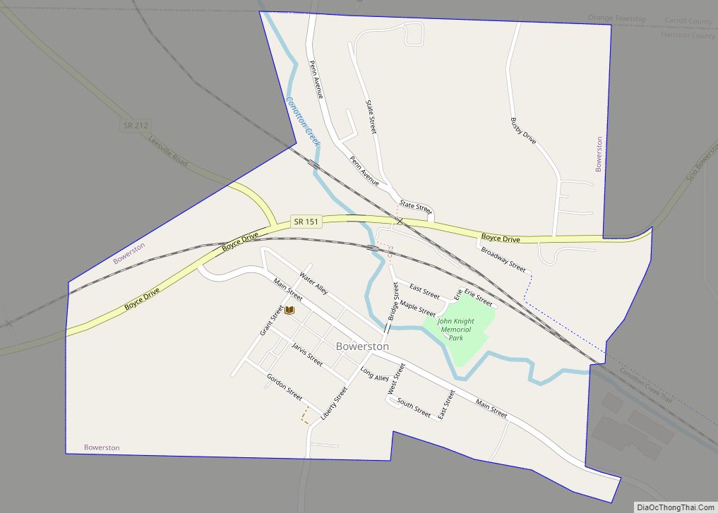
Bowerston Road Map
Bowerston city Satellite Map
Geography
Bowerston is located at 40°25′37″N 81°11′15″W / 40.42694°N 81.18750°W / 40.42694; -81.18750 (40.426806, -81.187523).
According to the United States Census Bureau, the village has a total area of 0.51 square miles (1.32 km), all land.
See also
Map of Ohio State and its subdivision:- Adams
- Allen
- Ashland
- Ashtabula
- Athens
- Auglaize
- Belmont
- Brown
- Butler
- Carroll
- Champaign
- Clark
- Clermont
- Clinton
- Columbiana
- Coshocton
- Crawford
- Cuyahoga
- Darke
- Defiance
- Delaware
- Erie
- Fairfield
- Fayette
- Franklin
- Fulton
- Gallia
- Geauga
- Greene
- Guernsey
- Hamilton
- Hancock
- Hardin
- Harrison
- Henry
- Highland
- Hocking
- Holmes
- Huron
- Jackson
- Jefferson
- Knox
- Lake
- Lake Erie
- Lawrence
- Licking
- Logan
- Lorain
- Lucas
- Madison
- Mahoning
- Marion
- Medina
- Meigs
- Mercer
- Miami
- Monroe
- Montgomery
- Morgan
- Morrow
- Muskingum
- Noble
- Ottawa
- Paulding
- Perry
- Pickaway
- Pike
- Portage
- Preble
- Putnam
- Richland
- Ross
- Sandusky
- Scioto
- Seneca
- Shelby
- Stark
- Summit
- Trumbull
- Tuscarawas
- Union
- Van Wert
- Vinton
- Warren
- Washington
- Wayne
- Williams
- Wood
- Wyandot
- Alabama
- Alaska
- Arizona
- Arkansas
- California
- Colorado
- Connecticut
- Delaware
- District of Columbia
- Florida
- Georgia
- Hawaii
- Idaho
- Illinois
- Indiana
- Iowa
- Kansas
- Kentucky
- Louisiana
- Maine
- Maryland
- Massachusetts
- Michigan
- Minnesota
- Mississippi
- Missouri
- Montana
- Nebraska
- Nevada
- New Hampshire
- New Jersey
- New Mexico
- New York
- North Carolina
- North Dakota
- Ohio
- Oklahoma
- Oregon
- Pennsylvania
- Rhode Island
- South Carolina
- South Dakota
- Tennessee
- Texas
- Utah
- Vermont
- Virginia
- Washington
- West Virginia
- Wisconsin
- Wyoming
