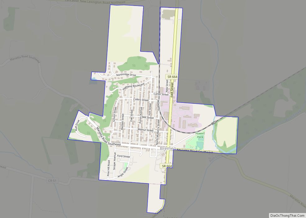
Bremen /ˈbrɛmən/ is a village in Fairfield County, Ohio, United States. The population was 1,425 at the 2010 census.
| Name: | Bremen village |
|---|---|
| LSAD Code: | 47 |
| LSAD Description: | village (suffix) |
| State: | Ohio |
| County: | Fairfield County |
| Elevation: | 768 ft (234 m) |
| Total Area: | 0.86 sq mi (2.24 km²) |
| Land Area: | 0.86 sq mi (2.23 km²) |
| Water Area: | 0.00 sq mi (0.01 km²) |
| Total Population: | 1,479 |
| Population Density: | 1,717.77/sq mi (662.86/km²) |
| ZIP code: | 43107 |
| Area code: | 740 |
| FIPS code: | 3908392 |
| GNISfeature ID: | 1048544 |
Online Interactive Map
Click on ![]() to view map in "full screen" mode.
to view map in "full screen" mode.
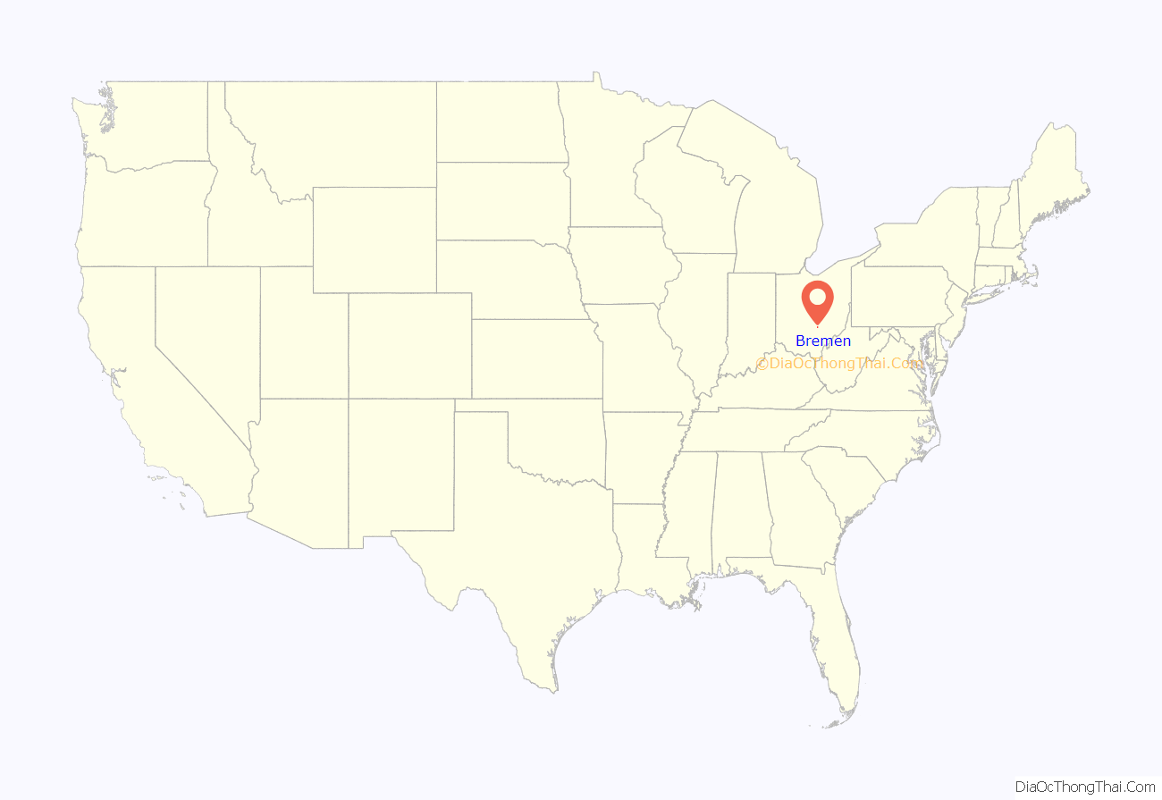
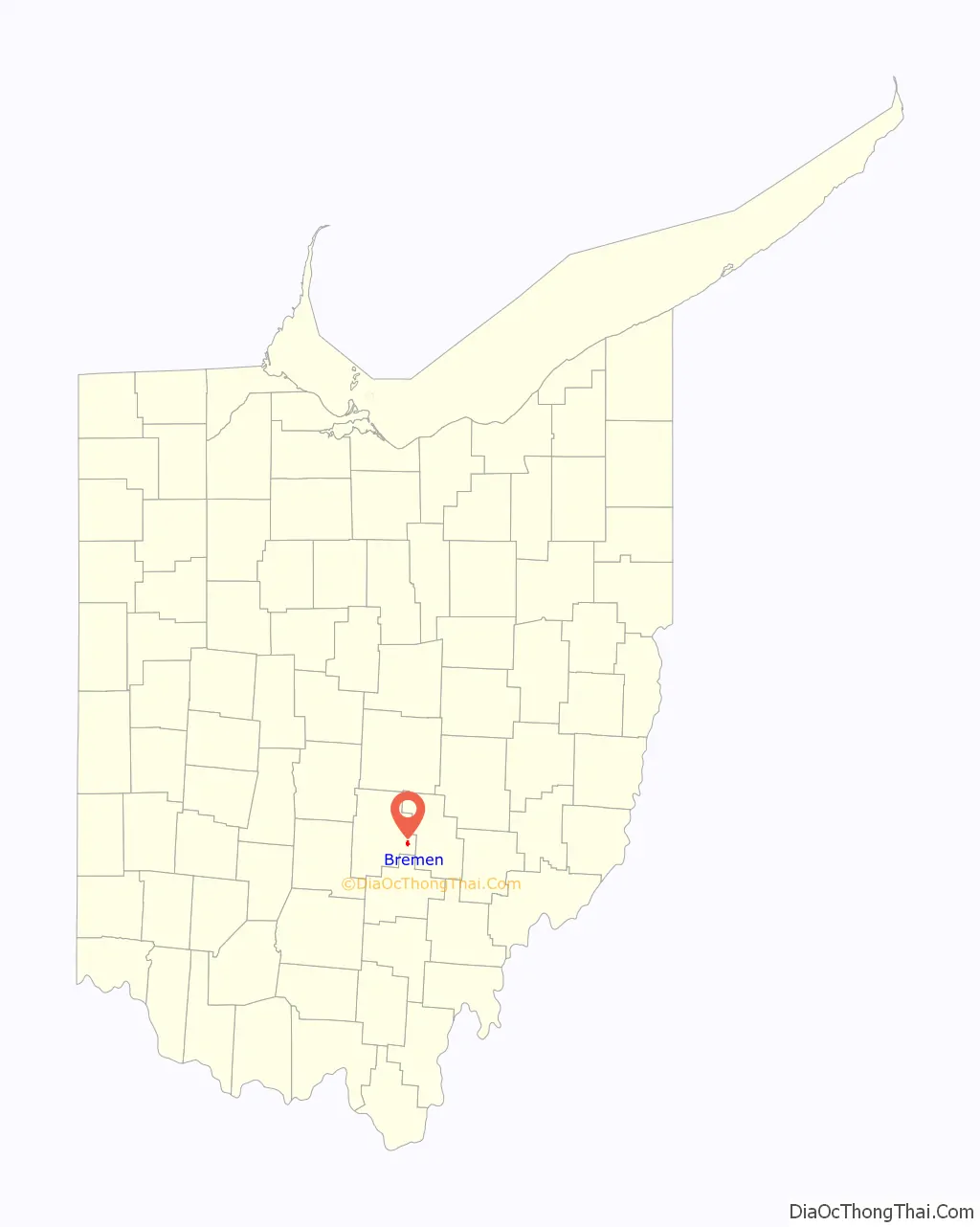
Bremen location map. Where is Bremen village?
History
Bremen was platted in 1834. The village was named after Bremen, in Germany.
The Bremen Oil Field was discovered in 1907, setting off an oil boom, which lasted until the early 1920s. Oil Derrick Days are celebrated every September, as a way for the town to remember its oil industry heritage.
Bremen Road Map
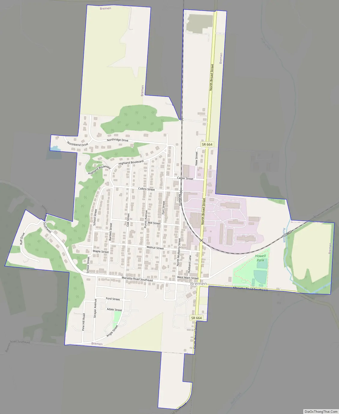
Bremen city Satellite Map

Geography
Bremen is located at 39°42′16″N 82°25′49″W / 39.70444°N 82.43028°W / 39.70444; -82.43028 (39.704366, -82.430149).
According to the United States Census Bureau, the village has a total area of 0.86 square miles (2.23 km), all land.
See also
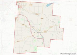
Map of Ohio State and its subdivision:- Adams
- Allen
- Ashland
- Ashtabula
- Athens
- Auglaize
- Belmont
- Brown
- Butler
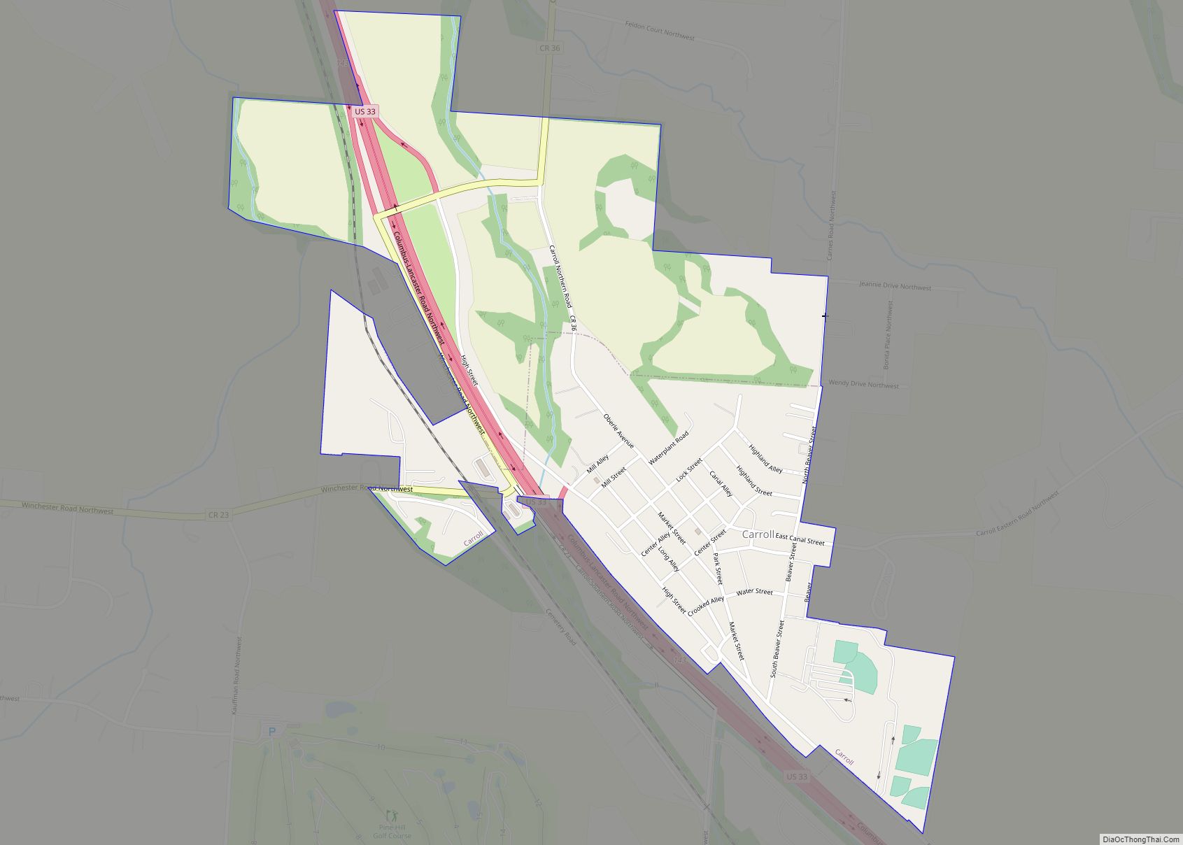
- Carroll
- Champaign
- Clark
- Clermont
- Clinton
- Columbiana
- Coshocton
- Crawford
- Cuyahoga
- Darke
- Defiance
- Delaware
- Erie
- Fairfield
- Fayette
- Franklin
- Fulton
- Gallia
- Geauga
- Greene
- Guernsey
- Hamilton
- Hancock
- Hardin
- Harrison
- Henry
- Highland
- Hocking
- Holmes
- Huron
- Jackson
- Jefferson
- Knox
- Lake
- Lake Erie
- Lawrence
- Licking
- Logan
- Lorain
- Lucas
- Madison
- Mahoning
- Marion
- Medina
- Meigs
- Mercer
- Miami
- Monroe
- Montgomery
- Morgan
- Morrow
- Muskingum
- Noble
- Ottawa
- Paulding
- Perry
- Pickaway
- Pike
- Portage
- Preble
- Putnam
- Richland
- Ross
- Sandusky
- Scioto
- Seneca
- Shelby
- Stark
- Summit
- Trumbull
- Tuscarawas
- Union
- Van Wert
- Vinton
- Warren
- Washington
- Wayne
- Williams
- Wood
- Wyandot
- Alabama
- Alaska
- Arizona
- Arkansas
- California
- Colorado
- Connecticut
- Delaware
- District of Columbia
- Florida
- Georgia
- Hawaii
- Idaho
- Illinois
- Indiana
- Iowa
- Kansas
- Kentucky
- Louisiana
- Maine
- Maryland
- Massachusetts
- Michigan
- Minnesota
- Mississippi
- Missouri
- Montana
- Nebraska
- Nevada
- New Hampshire
- New Jersey
- New Mexico
- New York
- North Carolina
- North Dakota
- Ohio
- Oklahoma
- Oregon
- Pennsylvania
- Rhode Island
- South Carolina
- South Dakota
- Tennessee
- Texas
- Utah
- Vermont
- Virginia
- Washington
- West Virginia
- Wisconsin
- Wyoming