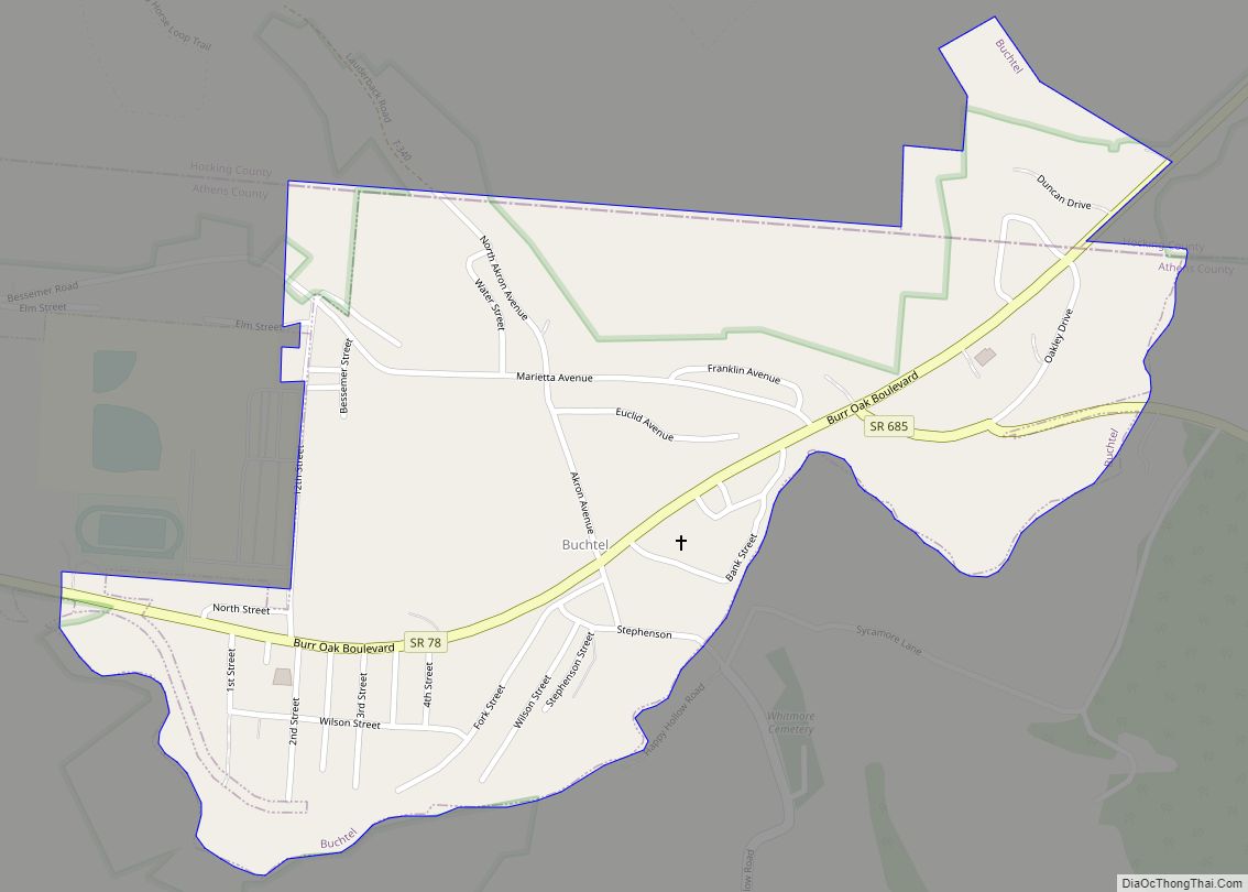
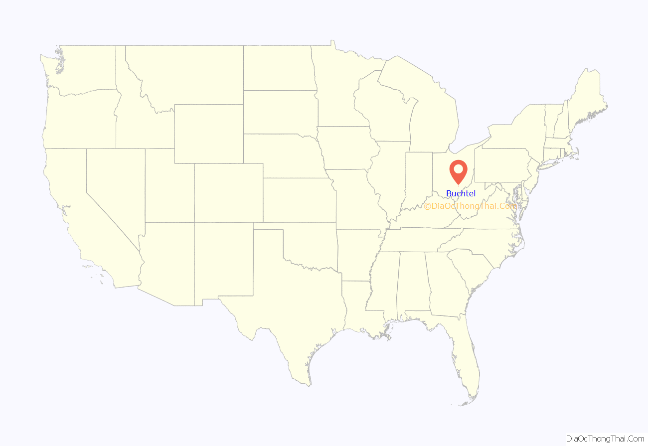
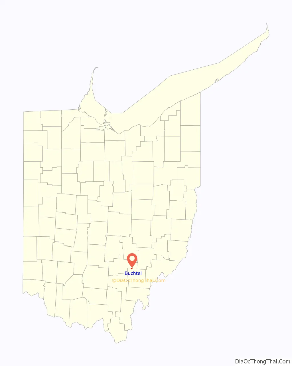
Buchtel is a village in Athens and Hocking counties in the U.S. state of Ohio, just northeast of Nelsonville. Located in the Hocking Valley, it was a center of coal mining in the late 19th and early 20th centuries. The population was 518 at the 2020 census. A former name for the village is Bessemer.
| Name: | Buchtel village |
|---|---|
| LSAD Code: | 47 |
| LSAD Description: | village (suffix) |
| State: | Ohio |
| County: | Athens County, Hocking County |
| Elevation: | 676 ft (206 m) |
| Total Area: | 0.47 sq mi (1.22 km²) |
| Land Area: | 0.47 sq mi (1.22 km²) |
| Water Area: | 0.00 sq mi (0.00 km²) |
| Total Population: | 518 |
| Population Density: | 1,102.13/sq mi (425.90/km²) |
| ZIP code: | 45716 |
| Area code: | 740 |
| FIPS code: | 3909834 |
| GNISfeature ID: | 1075462 |
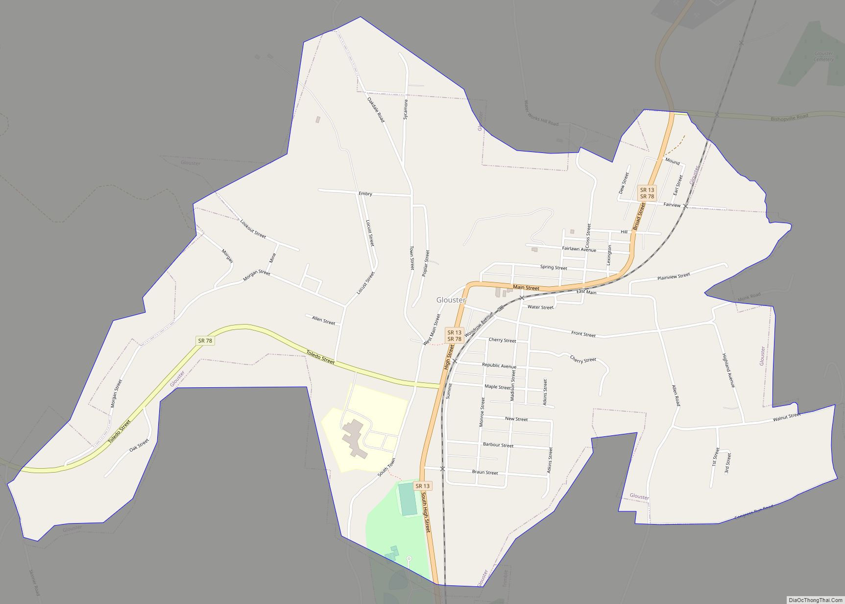
Online Interactive Map
Click on ![]() to view map in "full screen" mode.
to view map in "full screen" mode.
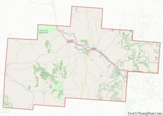
Buchtel location map. Where is Buchtel village?
History
Buchtel was laid out in 1876, and named for John R. Buchtel, a representative of the Akron Iron Company, which owned a large amount of land in the vicinity, included within the Hocking Valley. A post office called Buchtel has been in operation since 1879.
The village was developed to support coal mining in the area. In 1884 mine workers in Buchtel went out on strike, and the company hired Pinkerton guards to protect replacement workers, known as strikebreakers or “Blacklegs”. Such workers were strongly resisted by union workers, and strikes were often accompanied by violence.
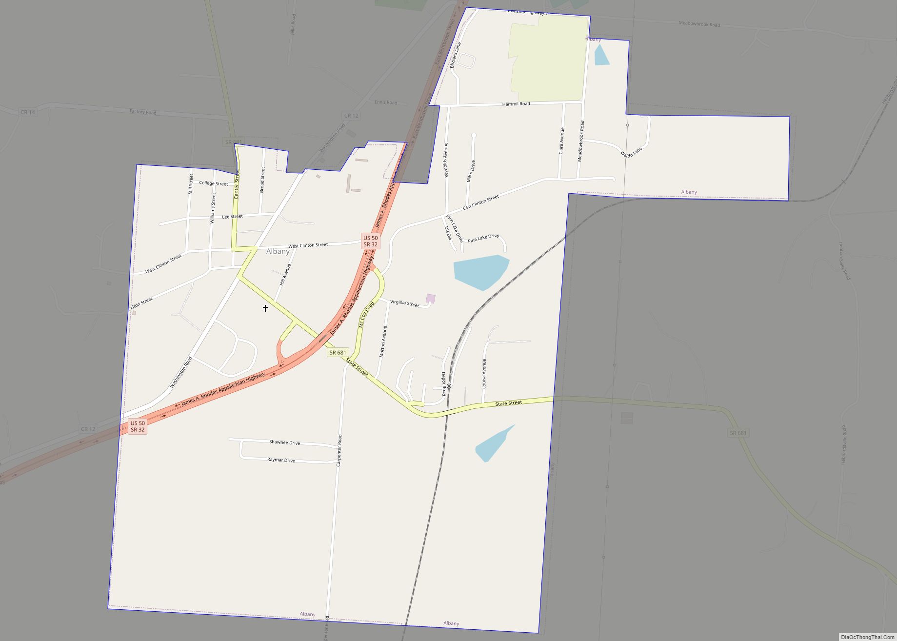
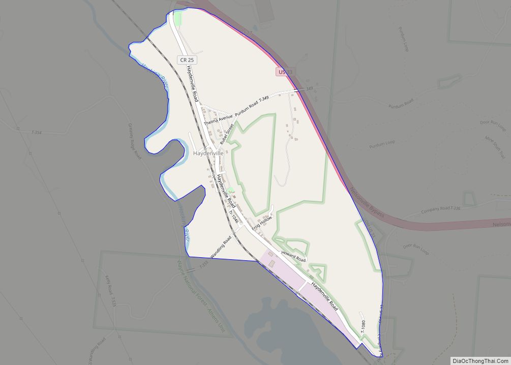
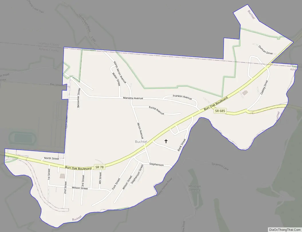
Buchtel Road Map
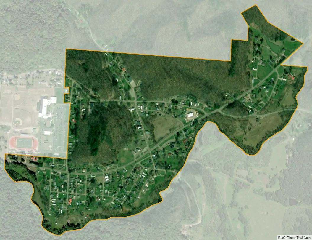
Buchtel city Satellite Map
Geography
Buchtel is located at 39°27′41″N 82°10′55″W / 39.46139°N 82.18194°W / 39.46139; -82.18194 (39.461269, -82.182017), along Snow Fork, a tributary of Monday Creek.
According to the United States Census Bureau, the village has a total area of 0.49 square miles (1.27 km), all land.
See also
Map of Ohio State and its subdivision:- Adams
- Allen
- Ashland
- Ashtabula
- Athens
- Auglaize
- Belmont
- Brown
- Butler
- Carroll
- Champaign
- Clark
- Clermont
- Clinton
- Columbiana
- Coshocton
- Crawford
- Cuyahoga
- Darke
- Defiance
- Delaware
- Erie
- Fairfield
- Fayette
- Franklin
- Fulton
- Gallia
- Geauga
- Greene
- Guernsey
- Hamilton
- Hancock
- Hardin
- Harrison
- Henry
- Highland
- Hocking
- Holmes
- Huron
- Jackson
- Jefferson
- Knox
- Lake
- Lake Erie
- Lawrence
- Licking
- Logan
- Lorain
- Lucas
- Madison
- Mahoning
- Marion
- Medina
- Meigs
- Mercer
- Miami
- Monroe
- Montgomery
- Morgan
- Morrow
- Muskingum
- Noble
- Ottawa
- Paulding
- Perry
- Pickaway
- Pike
- Portage
- Preble
- Putnam
- Richland
- Ross
- Sandusky
- Scioto
- Seneca
- Shelby
- Stark
- Summit
- Trumbull
- Tuscarawas
- Union
- Van Wert
- Vinton
- Warren
- Washington
- Wayne
- Williams
- Wood
- Wyandot
- Alabama
- Alaska
- Arizona
- Arkansas
- California
- Colorado
- Connecticut
- Delaware
- District of Columbia
- Florida
- Georgia
- Hawaii
- Idaho
- Illinois
- Indiana
- Iowa
- Kansas
- Kentucky
- Louisiana
- Maine
- Maryland
- Massachusetts
- Michigan
- Minnesota
- Mississippi
- Missouri
- Montana
- Nebraska
- Nevada
- New Hampshire
- New Jersey
- New Mexico
- New York
- North Carolina
- North Dakota
- Ohio
- Oklahoma
- Oregon
- Pennsylvania
- Rhode Island
- South Carolina
- South Dakota
- Tennessee
- Texas
- Utah
- Vermont
- Virginia
- Washington
- West Virginia
- Wisconsin
- Wyoming